

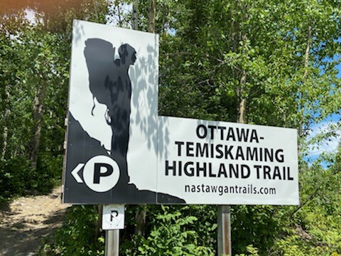
From South (Thorne) to North (Latchford)
June 29th
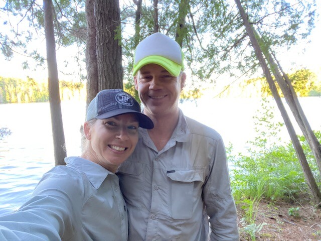
We were dropped off at the Nursing Post parking lot by our shuttle driver, Doug, to start the 5km ATV trail to the main OTHT. The weather was great and the mosquitoes were already munching on us. We officially started the main trail at 0922 hrs.
Jamieson already had experience on the trail (he's the current unsupported FKT holder), but this was my first experience. The first thing that I noticed was the proprioception required to hike. The trail is fairly new, and the foot traffic has been a bit limited thus far. With the beauty of this trail, I think the word will get out soon and this will be a premiere Ontario route in no time!!
Highlight: we actually ran into a 1-man trail maintenance crew (Les). We thanked him for his hard work and carried on.
We camped at Hidden Lake
Final day mileage: ~ 24 miles (38.4 km)
June 30th
The hills did not let up. This is a trail were 1-2 miles/hour is a fast speed. The uphills and downhills are very steep. We've had wet feet from the beginning and the bugs did not let up. We also crossed Ottertail Creek today. The creek crossing was manageable, however, please use caution if doing the trail in the Spring. It would be dangerous to cross if the water levels are high.
Highlight: The trail is pretty well marked overall.
We camped at Grand Campment Bay
Final day mileage: ~21 miles (33.6 km)
July 1st
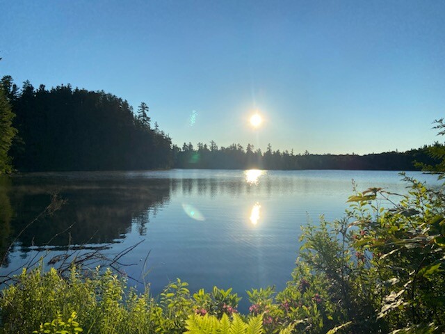
Happy Canada Day! Water sources are plentiful. With no bail out points, we ensured we had a lot of food and a good filter to be self-sufficient and safe out there. Our goal was to travel approx 20 miles a day, but this was a little short because of the way the trail is. What I mean by that is, there is nowhere to camp, unless you're at a designated campsite. The terrain just doesn't have flat spots along the way. We were at the mercy of the campsite that we came to...going to the next was not achievable.
Highlights: The waterfalls near the dam and the amazing skinny dip at the secluded campsite.
We camped at Copper Lake
Final day mileage: ~18 miles (28.8 km)
July 2nd
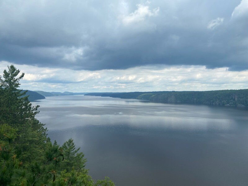
Today was a big day and the scenery continued to marvel us! Icing my feet in Friday Lake, passing the Crevasse (and signing the hiker log) and an old sugar shack were a few of the day's activities. We enjoyed the quietness, the yummy blueberries (even if there were just a few), and the task at hand (hiking mile after mile). The bugs let up on this day and the weather was amazing!
We camped at Fat Lake
Highlight: today was the first day our feet were dry. Woot Woot!!
Total mileage: ~23 miles (36.8 km)
July 3rd
Last day! Another perfect weather day. No bugs again! We got lucky (well...mostly me. They loved Jamieson). We also actually saw people today. I guess the trail is more traveled by the North trail head. We saw a lovely couple having a picnic and another family hiking. After exchanging pleasantries, we continued on. A quick phone call to our shuttle driver approx 1hr prior to finishing, we knew we had done it.
Highlight: Completing the trail together. Aren't shared experiences the absolute best!!
Total mileage: ~13 miles (20.8 km)
Oh, the slushy from the gas station (Latchford) at the end was pretty sweet too!! :)