This was the first of three routes I did on April 14, 2023. The linked race report has all three routes.
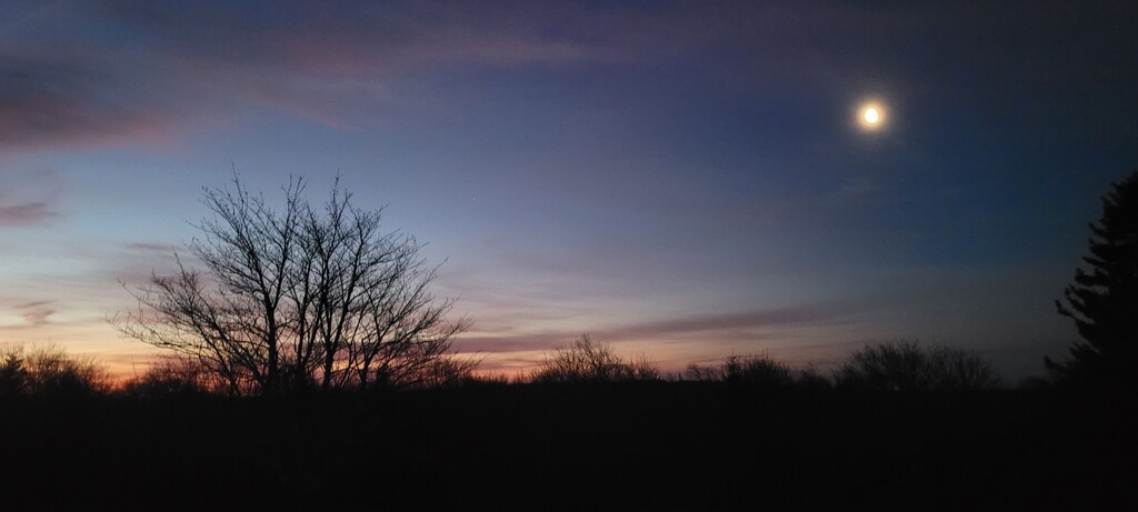
I started from the Red Creek Trailhead around 2am. It had been pretty warm and dry the week leading up to this, so Red Creek was low and most of the trails were relatively dry.
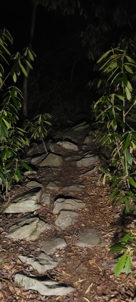
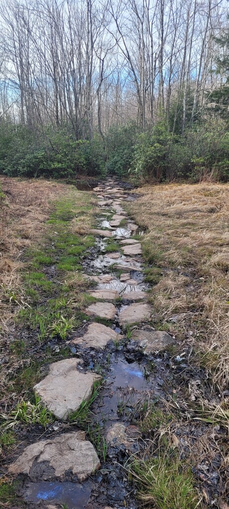
The first section is a long climb up onto the plateau. The trail is in good condition, especially considering all the storms lately. Since it was pitch black, I was checking the route pretty frequently, but it was not hard to follow - even through the many stream crossings. The first couple miles are not particularly steep, but the rocky footing makes it hard to run more than a few steps at a time (for me, anyway). The grade gets a bit steeper towards the last few miles of the climb.
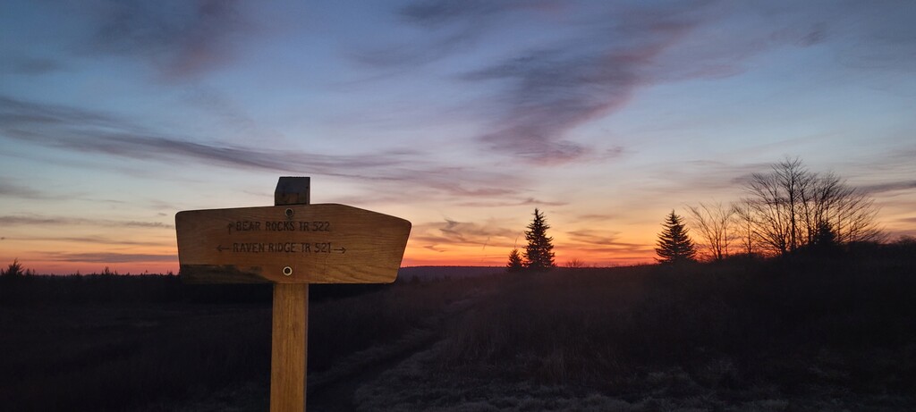
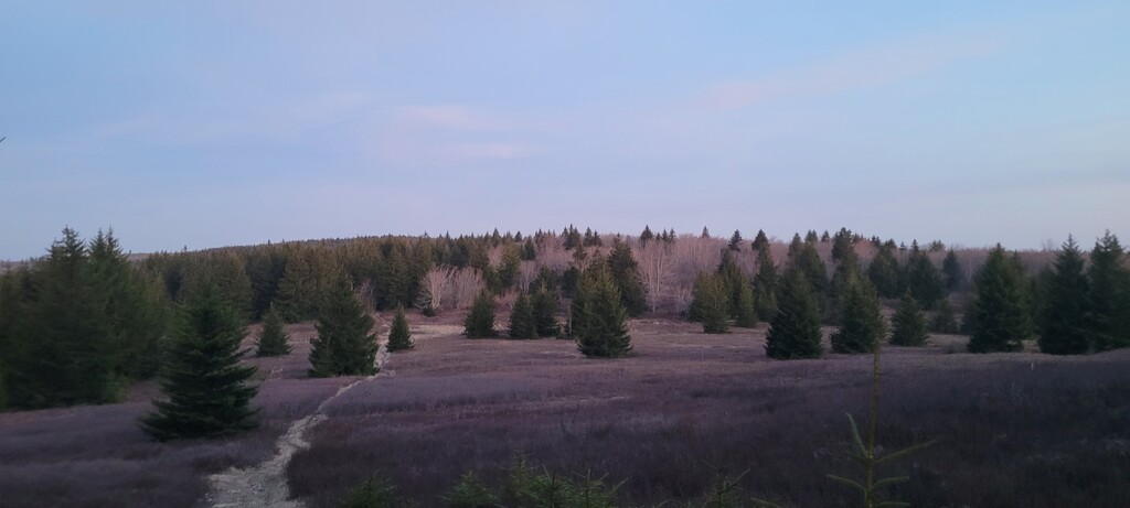
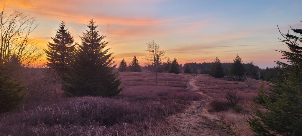
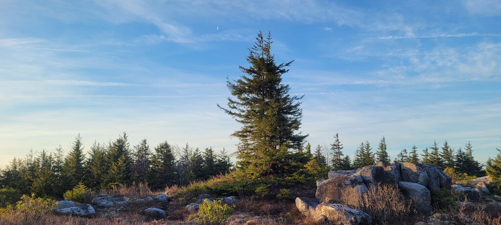
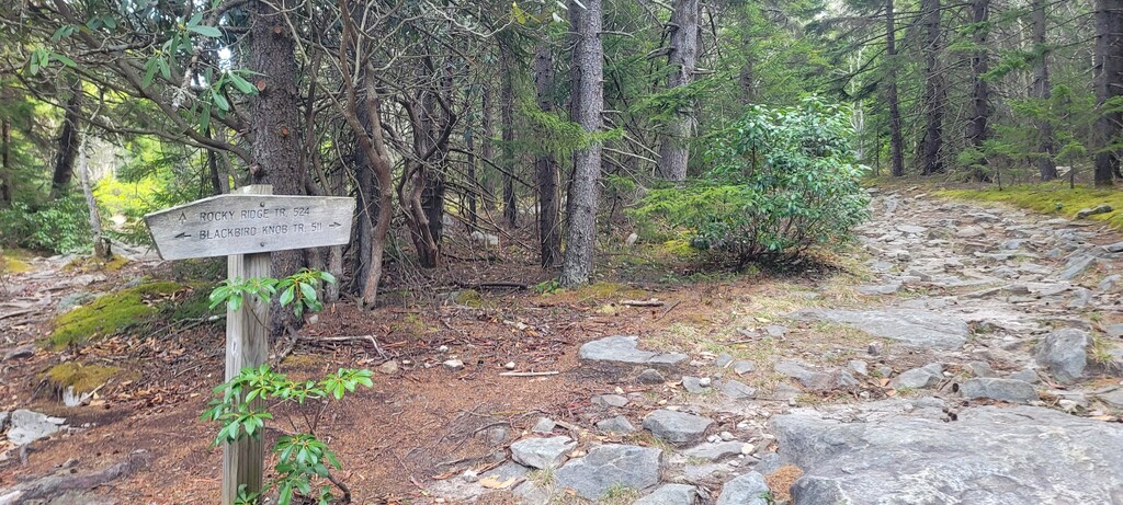
The second section is up on the plateau. It’s pretty flat and open, and much more runnable. The trail is often a narrow rut with stones & mud, flanked on one or both sides by some stubby grass. Since it was dry I mostly stayed in the rut, but there were still some decent mud holes. In the northeast side of the FKT GPS route, there is an out-and-back to the Bear Rocks trailhead - more on that later.
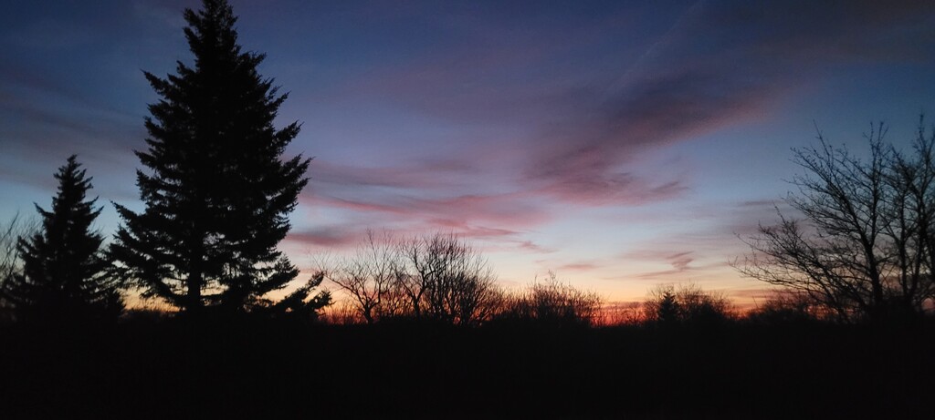
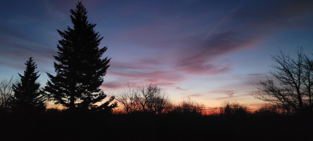
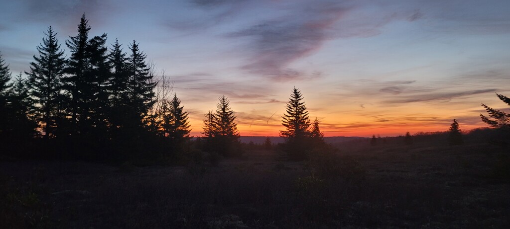
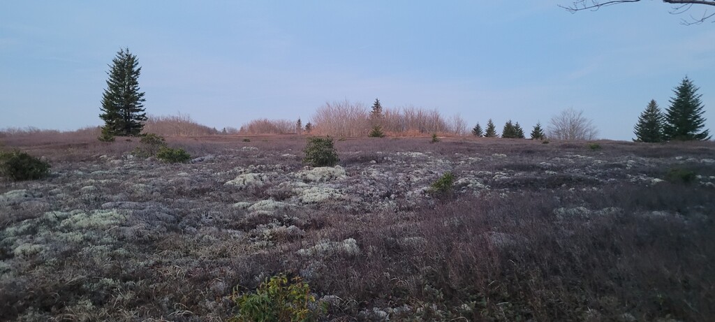
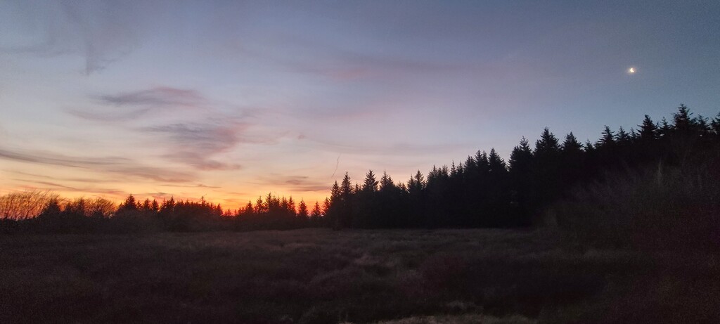
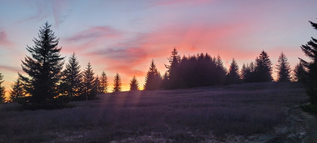
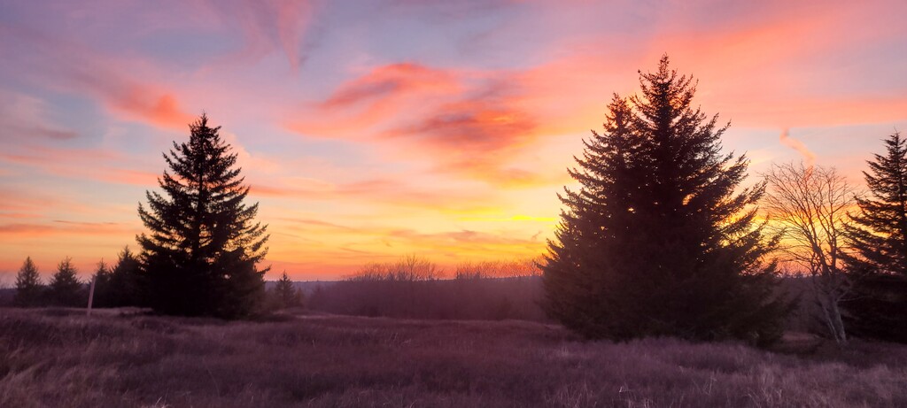
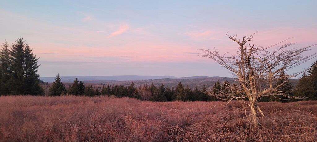
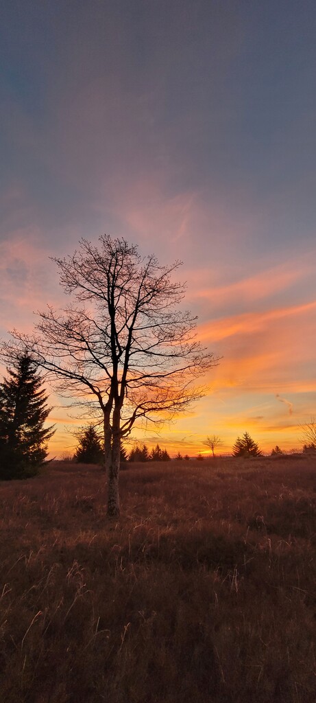
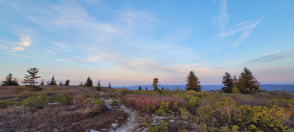
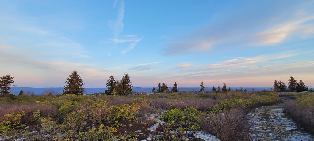
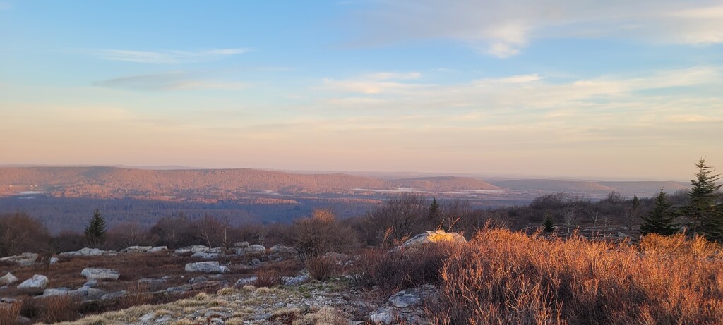
The third section cuts runs across the north side of the park. The FKT GPS route has you taking the wrong trail onto private property - more on this later. This is another runnable section, with gentle sweeping alpine plains. But if you run it with your head down you’re really missing out. The sun was rising in this part and I was stopping every 5 minutes for photos.
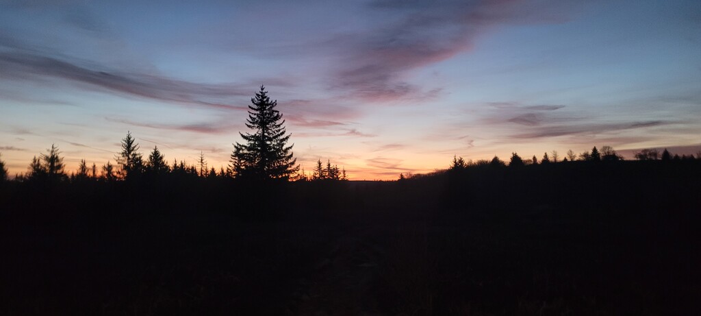
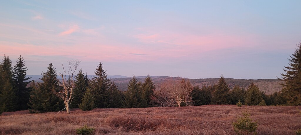
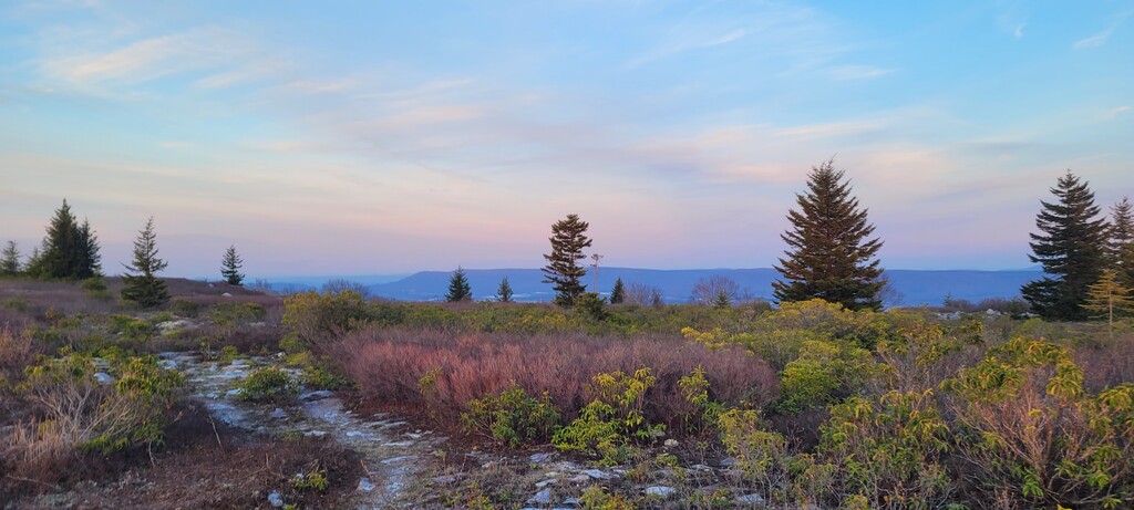
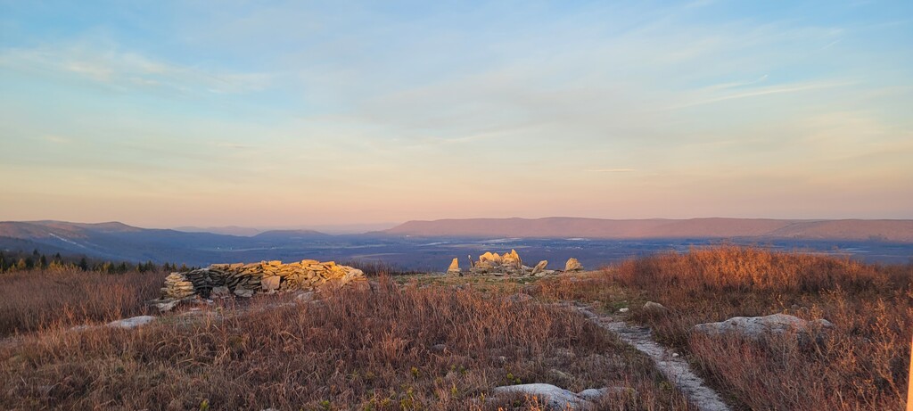
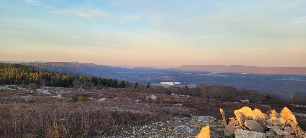
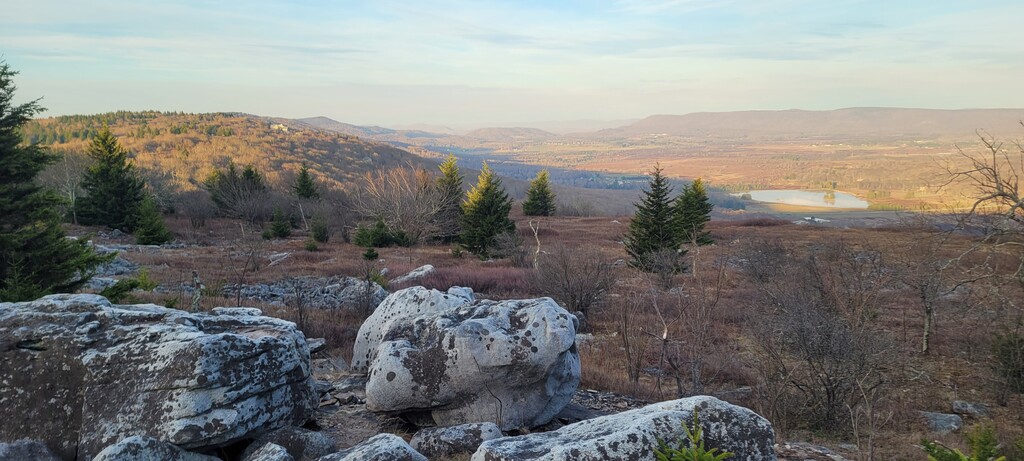
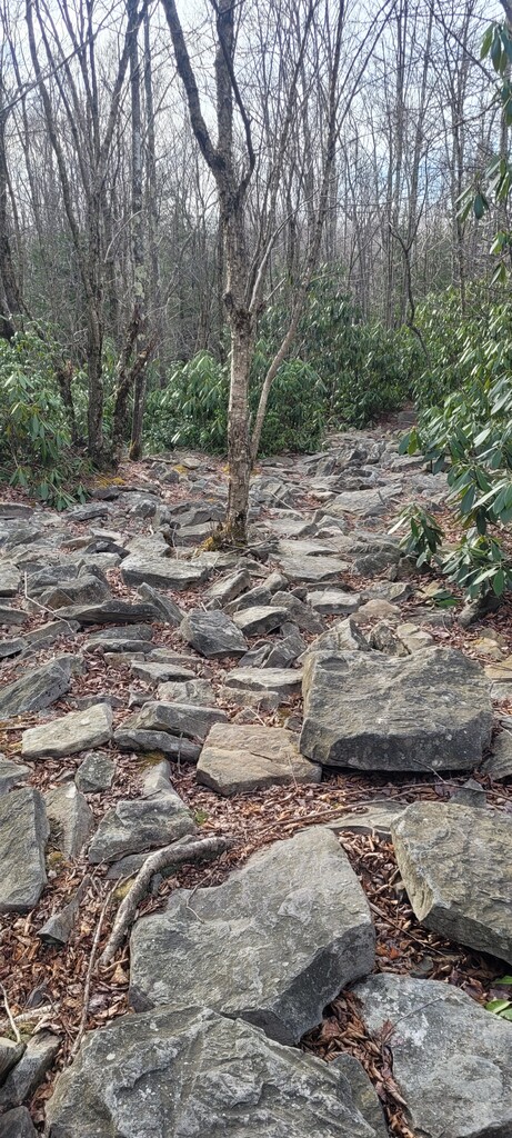
The fourth section goes south along the west side of the park. There are some breathtaking overlooks of Canaan Valley and some big boulder fields that make for some fun rock-hopping. The FKT GPS trail goes a little awry here and misses one of the prime overlooks - more on that later.
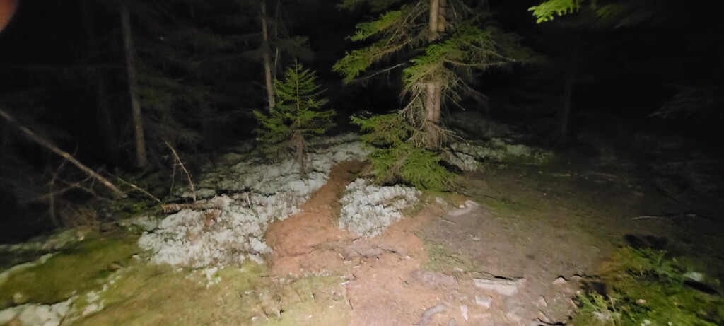
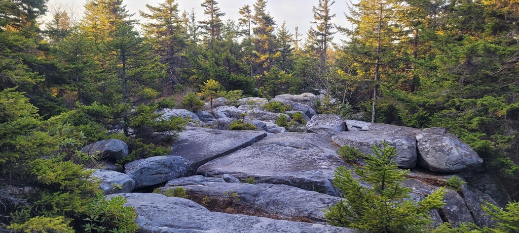
The fifth section starts at the Big Stonecoal Trail. This isn’t quite as scenic, though there are a couple interesting rock garden areas and some nice pine groves.
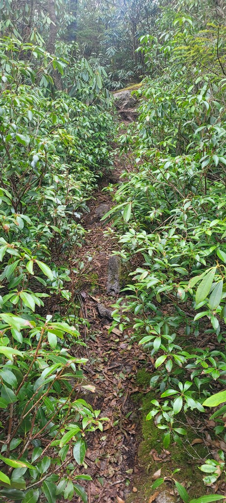
The sixth section starts at the Dunkenbarger Trail. This seems to be the least trafficked and maintained. The trail gets extremely narrow at times and had tons of serious mud pits, even though it hadn’t rained in a week. I can’t imagine how bad the mud would be if there had been rain recently.
The last section is a long descent back to the Red Creek Trailhead. It’s a little more open and well maintained, but rocky with a pretty sheer drop on the right, so watch your footing.
A few notes:
- I hiked a lot of this and stopped for a lot of photos. So it won’t take much to improve on the time.
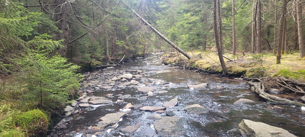
- I carried 4 liters of water and went through 3. I had filters in case I ran out but didn’t need them - but there are plenty of water sources throughout, except in a few areas up on the plateau.
- The FKT GPS route needs to be revised. I followed it as closely as possible, but there are some issues:
- On the north side of the park, the GPS track takes the wrong trail onto private property. It is clearly marked as private for a mountain hunting club. There is another trail (Raven Ridge) that runs parallel just inside the park boundary, and that should be used.
- On the west side of the trail, the GPS track cuts east into the park on a side-trail instead of continuing on the Rocky Ridge trail, which runs along the edge of the park and has some great overlooks.
- On the Big Stonecoal trail, the GPS track misses a turn and goes way off course. It starts as a little unofficial trail, then eventually bushwhacks back over to the Big Stonecoal trail. They advise not going off trail at Dolly Sods because it was used for artillery testing and there is a risk of unexploded ordinance off trail.
- There are a lot of other places where the GPS track goes off trail and then has to double back.
- The GPS track includes the section from the Bear Rocks trailhead to the actual loop within the park. This kind of makes sense if you start from Bear Rocks. But the road to Bear Rocks is closed all winter (it was still closed on April 14). So if you start from Red Creek, it feels like a bit of a random out-and-back, and it’s not so unique or scenic that it seems necessary. It seems to make more sense to have the official FKT route just be the loop itself, and then you can choose where to start.
Distance: 25.24 miles
Elevation: 3,442 ft
Moving time: 7:08:37
Elapsed time: 8:28:31