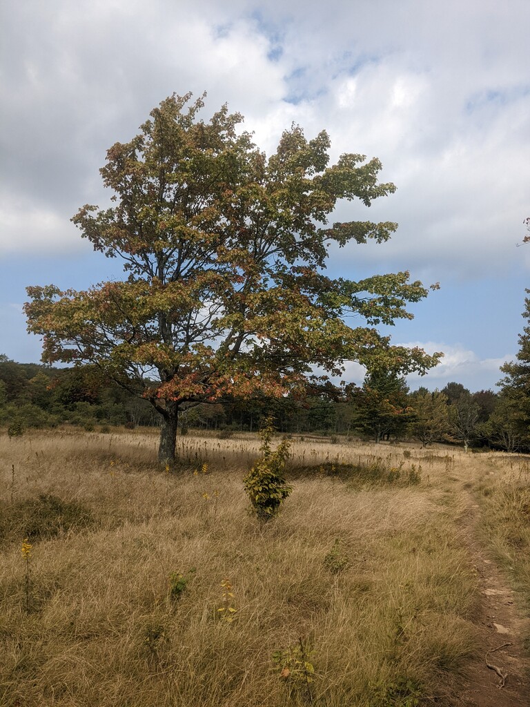
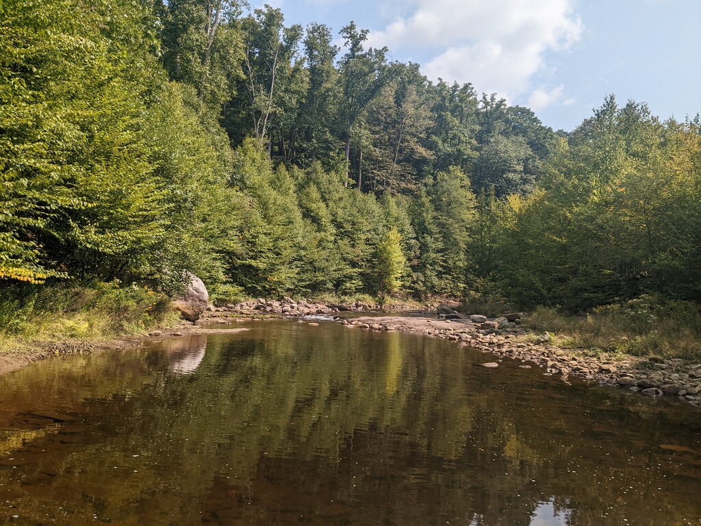
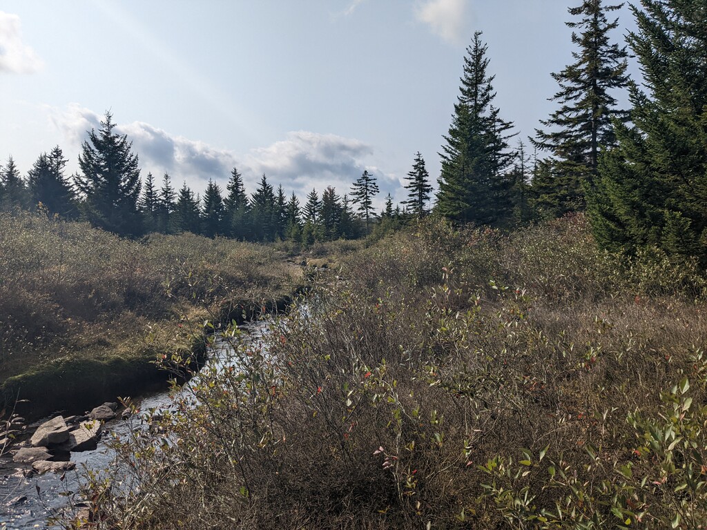
Location
West Virginia,
US
Distance
24.6 mi
Vertical Gain
3,214 ft
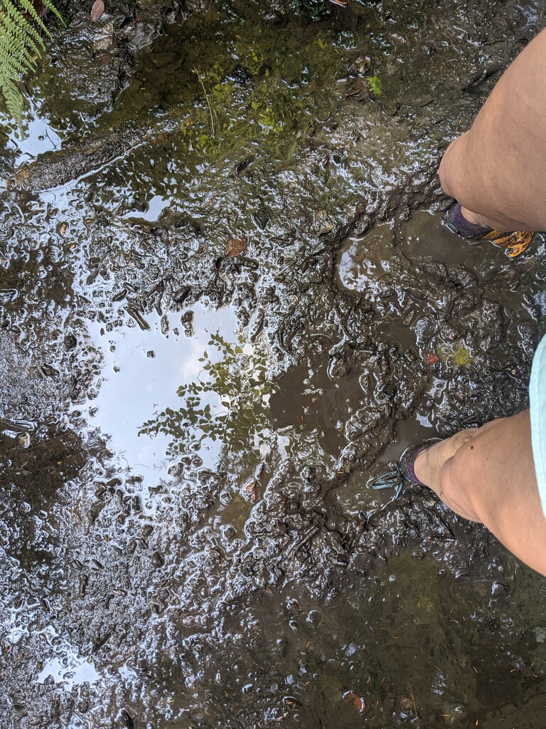
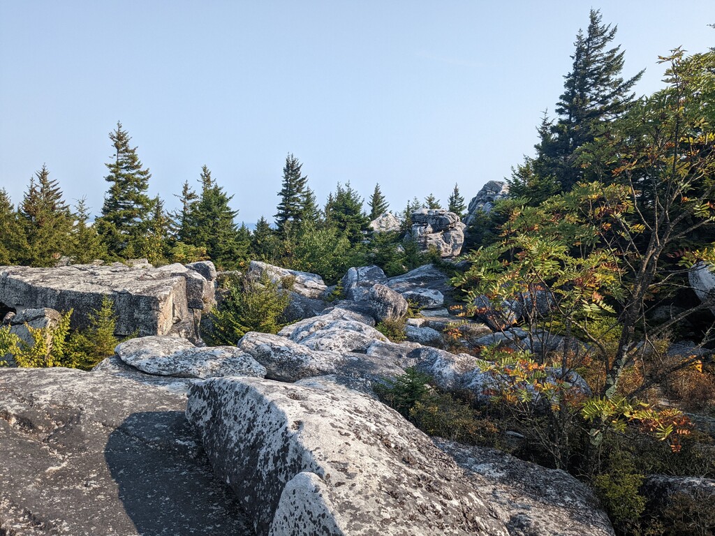
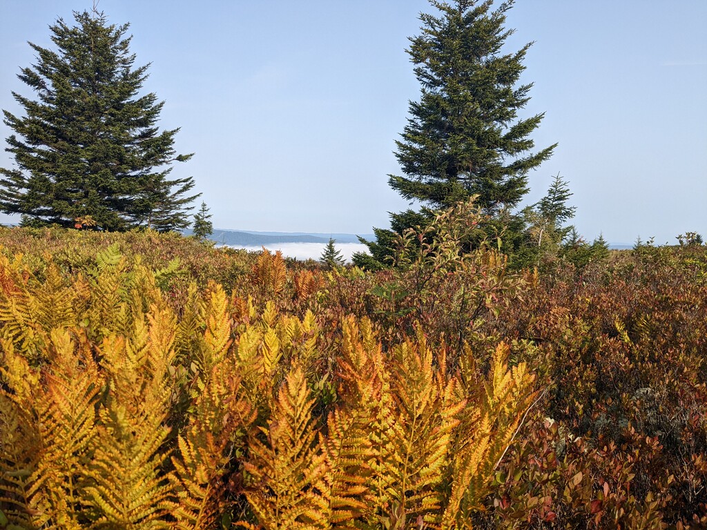
Description
GPS Track
FKTs
Male
Female
| Sam Trioli | 5h 3m 1s | ||||
| Charlie Edwards | 5h 5m 37s | ||||
| Chris Haas | 8h 28m 31s |
| Mary Joy, Sonia Rowley, Emily Zuetell | 7h 46m 41s |
Images

Comments
I was taking a look at this route and see it was submitted but the FKT details aren’t posted. I assume based on the other FKTs of the submitter that this was an unsupported effort but just wanted to clarify.
I emailed in a similar question and was told the activity data submitted for the FKT is not official, so whatever you submit will be the FKT.
Also, just FYI I have some notes in the FKT listing about some issues with the GPS track for this route:
Personally, I think it would be worth revising the GPS file.
Hi, curious if the new updated trail is the one posted? I noticed bear rocks out & back is not there anymore. Can I be confident in the trail posted? Also, it is just a loop. Do we not start at the parkinglot? I assume the total distance of the updated trail will be less than your attempt
Sorry for the delay - yes, the current map is the revised one I proposed. Since there are multiple trailheads leading into the park, having the course be a loop lets you choose where to start. I think the current FKT started back at the Red Creek trailhead, but I don't think that's required since it's not part of the official course. According to Gaia the new loop is 19.0 miles with 3,003 feet of gain. Have fun out there!
Thanks! Yeah it is easy to get off trail in some of those spots especially the west side where you are boulder hopping. I agree that it seems that starting at Red Creek makes more sense than Bear Rocks to avoid the out and back. Hopefully I can get out there sometime this summer!