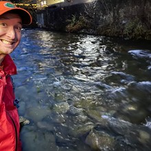
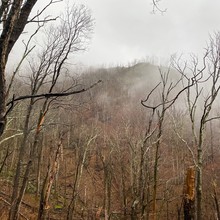
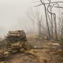
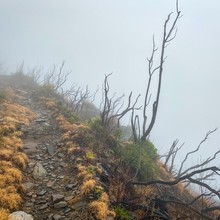
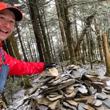
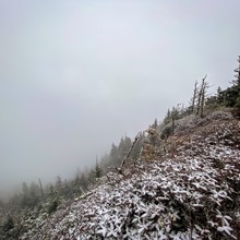
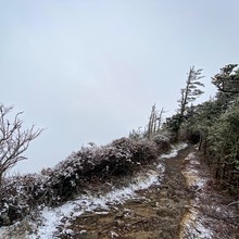
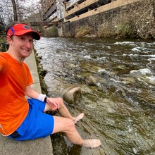
I'm proposing a new FKT route up and down Mount LeConte from the Tennessee River in Gatlinburg, akin to the "sea to summit" routes on Haleakala, Mauna Kea, Rainier, and others. In the process, you gain just over a vertical mile from the bottom to the top, so I'm calling it the LeConte Vertical Mile. I did a test run on 12/14/19 and had a blast. I decided to submit it because it's too good of a route to keep to myself. I'd love to see how fast others can run it, and what route choices they make. I think it's more interesting to keep the exact route open to interpretation by the runner, other than the river and summit. The summit, by the way, is High Top at 6593'. Feel free to make detours to the lodge and/or Cliff Tops if you want, but neither counts as the summit or nets a vertical mile of gain from the river. Further details and advice can be found in my trip report on Strava.
Athletes
Route
Route variation
Vertical Mile (out & back)
Gender category
Male
Style
Unsupported
Finish date
Total time
4h
33m
57s
Verification
GPS track(s)
LeConte-Vertical-Mile.gpx3.92 MB
Report

