
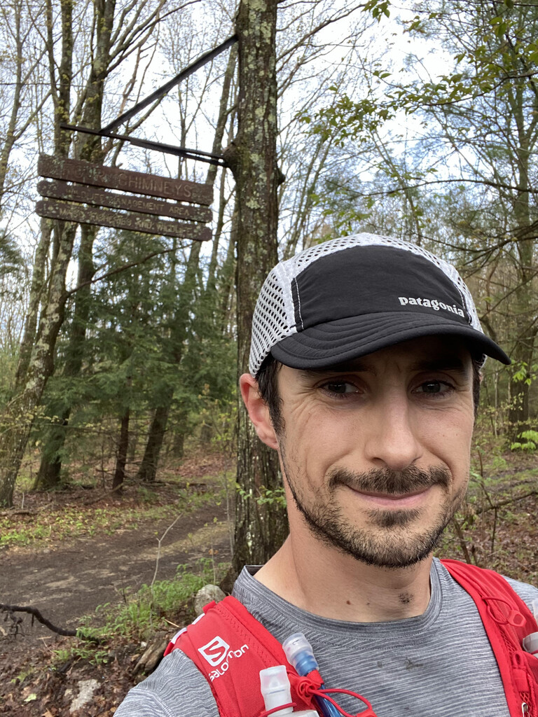
Logging operation in Ashburnham had cut down trees with trail markers which made staying on trail difficult. Nighttime thunderstorms going over Wachusett Mtn were miserable. Rain continued for about 5 hours. Once the rain cleared out the weather was beautiful and the rest of the run was pretty uneventful. I realized at about Whittier Farms that I had a shot at sub-22 hours so I picked up the pace and managed to get it.
Cody was tracked with a Garmin inReach during the run.
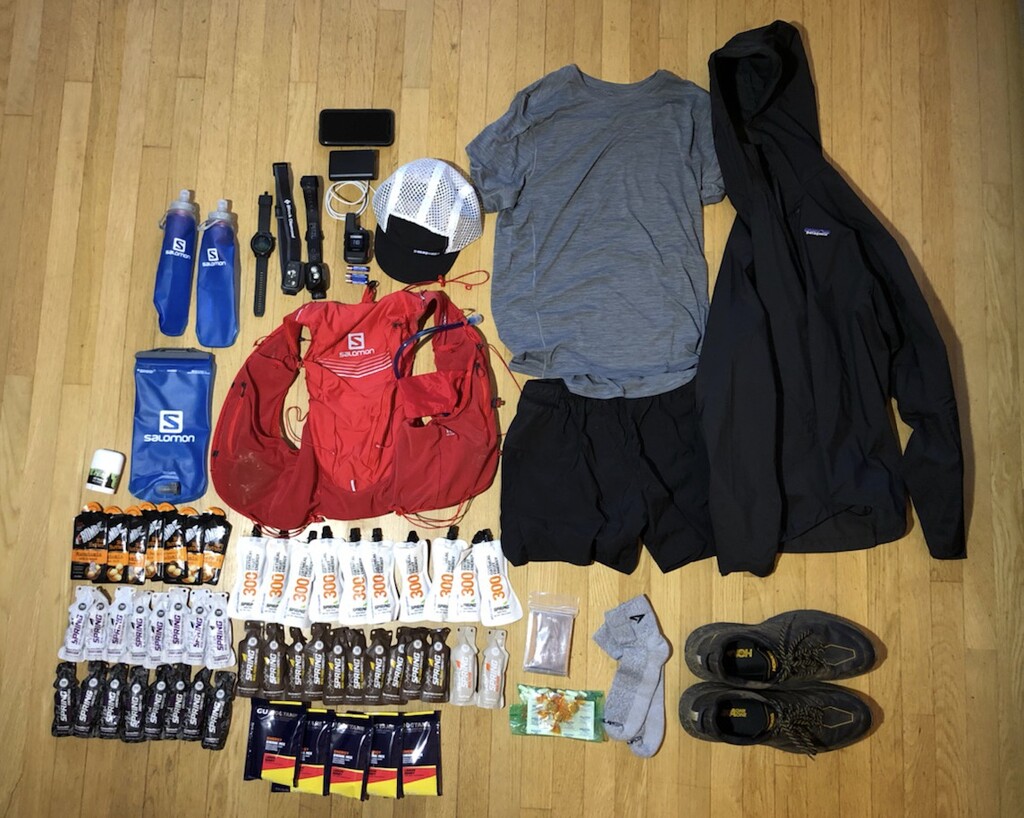
GEAR DETAILS:
My Salomon adv skin 12L pack weighed in at 9.5lbs. I had (2) 500ml softflasks with XA filters built in. I brought 1.5L bladder to mix the GU Roctane in but never needed it. My fuel was mainly Spring gels with some F-Bomb nut butters mixed in. I wore Patagonia shorts, shirt, hat, and shell. I had on Hoka Speedgoat 4 gore tex shoes with Drymax socks. I brought (2) headlamps with spare batteries. I carried a Garmin Inreach mini for tracking purposes and a battery pack with charging cord for my phone. Rounded out the essentials with Squirrels nut butter for chafing, an emergency blanket, No-Doz, ibuprofen, some band-aids and ginger candy to settle my stomach. My watch is a COROS Apex 46mm which performed flawlessly. My pack could have been much lighter but I also assumed it would take me 4-6 hours longer and I had enough fuel to be taking a gel every 45 minutes.
Trip Report
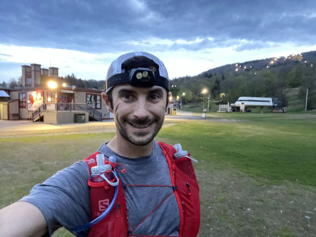
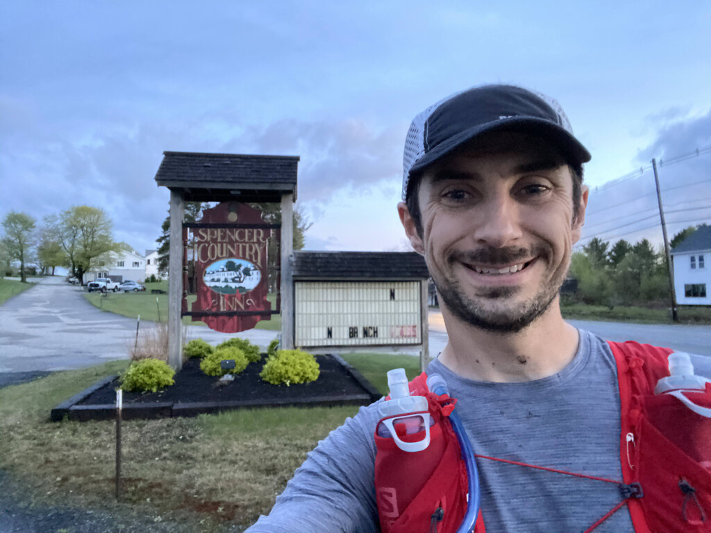
The wife and kids dropped me off at the Mt Watatic parking lot Friday afternoon to
begin the attempt. The short hike in was warm and humid but otherwise fine. Took the
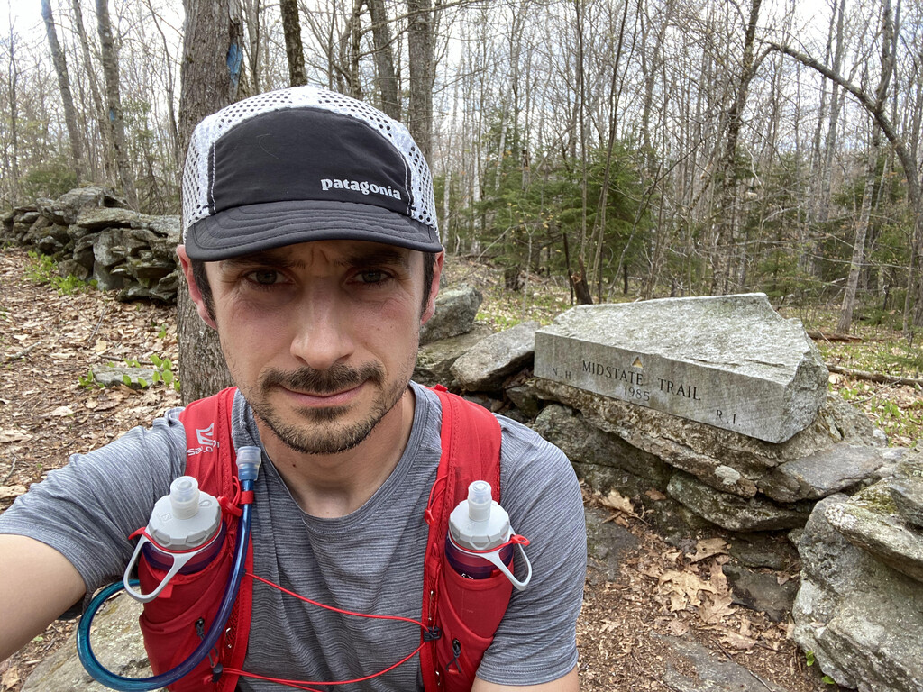
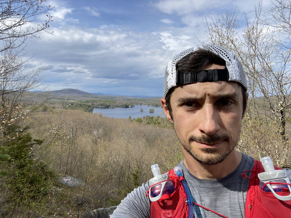
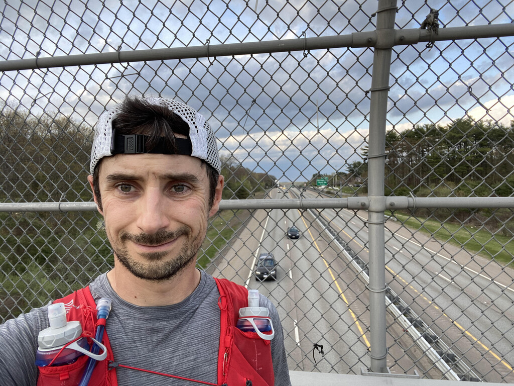
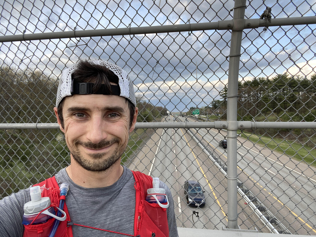
obligatory video and photos at the northern terminus and off I went at 2:32pm. Mt. Watatic was
relatively busy but didn’t see another person for miles after that. I was moving a little slower
than I had hoped, mainly due to the heat and my pack being a little heavier than anticipated. A
logging operation in Ashburnham made a mess of the trail. Trees down across the trail and trail
markers gone. I realized quickly that my window on an unsupported attempt would close
drastically had I not left today. Water sources were shrinking rapidly even from a couple weeks
prior when I had been on that section of trail. Passed a mother and son dropping off camping
gear near Russell Hill Rd. Hopped over a rather large snake sunning itself on the rocks at Crow
Hill. Saw a guy randomly putting bedsheets on Redemption Rock. Slowed to a walk to see if I
could figure out what he was up to but it made no sense. Got to Wachusett Mtn just in time for
the clouds to open up. A hiker came running by me on his way down and let me know “bad
storms” were coming. They came. I got very wet. When I got to the summit I was able to find a
sheltered spot under the tower, dried my hands on the concrete, and texted my wife to let her
know I was fine. Checked the weather and saw that another band was moving in. I hurried
down the mountain so that I wasn’t as exposed. Fortunately my wife had suggested I pack
Ziploc bags with rice in them for my phone and battery pack. Needless to say the phone stayed
in the bag for awhile. Saw a fox on Lyons Rd in Princeton. Had a little knee pain by the time I got
to Intervale Rd in Princeton and took some ibuprofen in hopes that it wouldn’t get worse. It
never came back. Got spooked by a porcupine on the approach to Barre Falls Dam and than
proceeded to get mixed up in the disc golf course. Dumped my trash in the trashcan at the
picnic area. Heard something rather large crashing through the woods in the Rutland prison
camps. Never saw what it was. At some point in the next few miles I thought that the run had
been pretty uneventful so far and I didn’t mind at all. Saw someone camping at the Long Pond
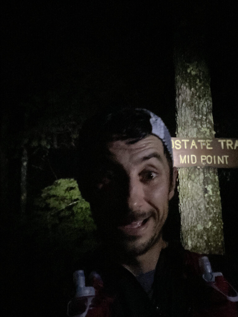
shelter. Made it to the halfway point in Treasure Valley at 2:14am. Even though I was already
feeling fine, getting to this point was still uplifting. The rain finally stopped somewhere between
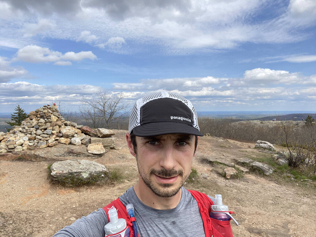
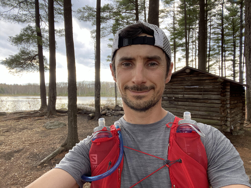
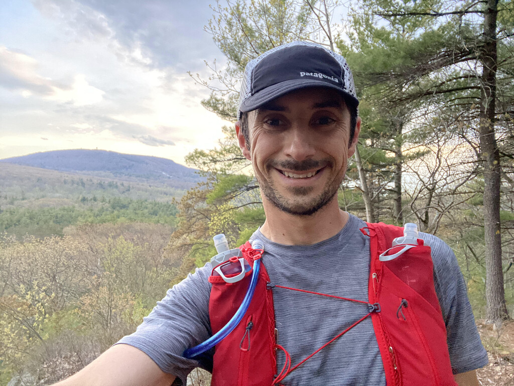
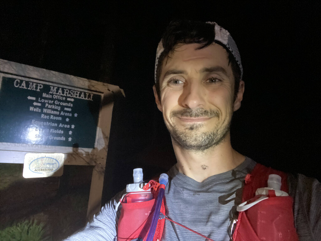
the halfway point and Browning Pond Rd in Spencer. I realized after I took a photo at Camp
Marshall in Spencer that I looked pretty good considering I was somewhere around 53 miles in.
Got swooped by an owl while running between Camp Marshall and Spencer State Forest.
Proceeded to take a wrong turn in Spencer State Forest but corrected quickly. Once I crested
Moose Hill in Spencer I could see first light. I knew at this point I was turning the corner. I had
never run this far but I believed the hardest miles were behind me. The trail comes out onto
someones property on Ash St in Spencer and they had archery targets set up in their backyard. I
may have thought it was a real bear. The trail follows a gas pipeline for a length of time and this
section was super muddy and wet. Ran into some turkey hunters on Fay Mountain Farm. I had
forgotten about the infamous cow tunnel under Rt20 but when I got there it was a steady
stream. Had to take my shoes and socks off to go through. The cold water felt good on my feet.
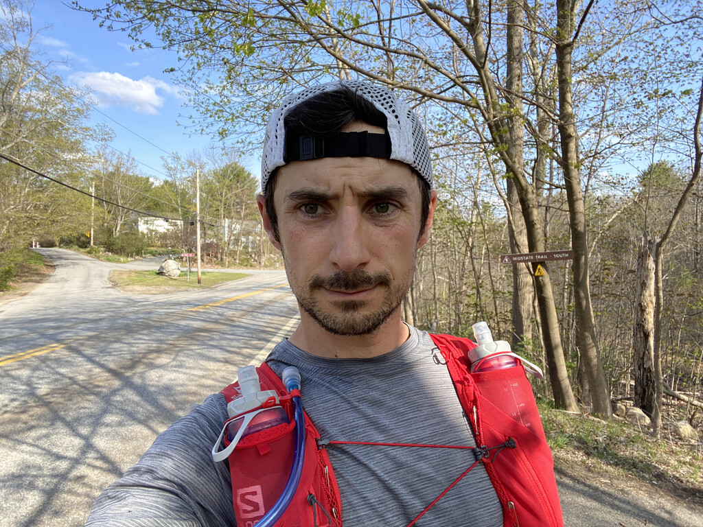
The long sections of pavement at this end of the trail made things blend together and
somewhat forgettable. At the Conlin Hill/Quarry area I saw a couple guys on dirtbikes. They
were probably laughing at me because I was motioning for them to go faster. Ran through the
center of Oxford and could smell breakfast food. For some reason it made me want a
cheeseburger. Had an internal struggle at Lovett Hill Rd due to the original trail being rerouted.
Decided to take the original route as this is the “standard route”. Bumped into some hikers not
too far down the trail who saw me on the road near the center of Oxford. They asked if I was
doing a section of the trail, I told them I was doing the whole thing. They laughed. I didn’t. Took
a beautiful photo of the sky and scenery on Town Farm Rd in West Sutton. On Douglas Rd as I
approached Whittier Farm I realized had a shot at sub-22 hours so I decided to pick up the pace.
The next 10 or so miles went by in a blur. When I got to Douglas State Forest I kept asking hikers
if they knew how far it was to the state line. Nobody seemed to know and it seemed to take
forever to get from one end of the park to the other. When I finally crested a hill and saw the
stone marker at the state line I couldn’t have been happier. I touched the stone at 12:12pm; 21
hours 40 minutes after I started.
I set a nutrition alert on my watch to go off every 45 minutes and ate somewhere
between 250-350 calories. Drank water as needed and topped off my bottles at most water
sources I passed in case they became few and far between. Never had an issue finding water.
Brought along some ginger candy to settle my stomach but never needed it. Only issue I had
physically were some blisters by the end because I stopped taking care of my feet about 70
miles in. I wish I had something more exciting to say but, other than the thunderstorms, the run
was pretty uneventful.