

I think this Livermore Loop was something I wanted to create because Waterville Valley was my home town and I always dreamed of connecting some sort of adventure from Waterville to the Tripyramids. After pondering how I wanted to create this route I wanted to give myself some better runnable terrain in some certain sections. As a kid, I used to ride my bike up and down the Livermore Trail and Livermore Road to adventure different trails I had never done before. What my mom and Dad didn't know that I used to summit the local 4,000 footers in the Waterville area on the regular by solo from the age ranges of 11-15, probably not what Mom and Dad wanted to hear but I needed to be outside. Those adventures gave me the feeling of being free, seeking the awe inspiring moments but also to have a connection with the woods and nature which at that point I never knew where it would have taken me until now.
The time was about 8:00am. The day was beautiful, about 60 degrees for the entire day and sunny without a cloud in the sky. This spring and early summer was pretty dry with not a lot of rain in the forecast so I made sure with my normal two soft flasks that I carry an extra just incase water was sparse. I had everything I needed for the day nutrition wise. As a whole for the day, my energy was in a good place, pace was steady and I kept my hydration and nutrition in a good place.
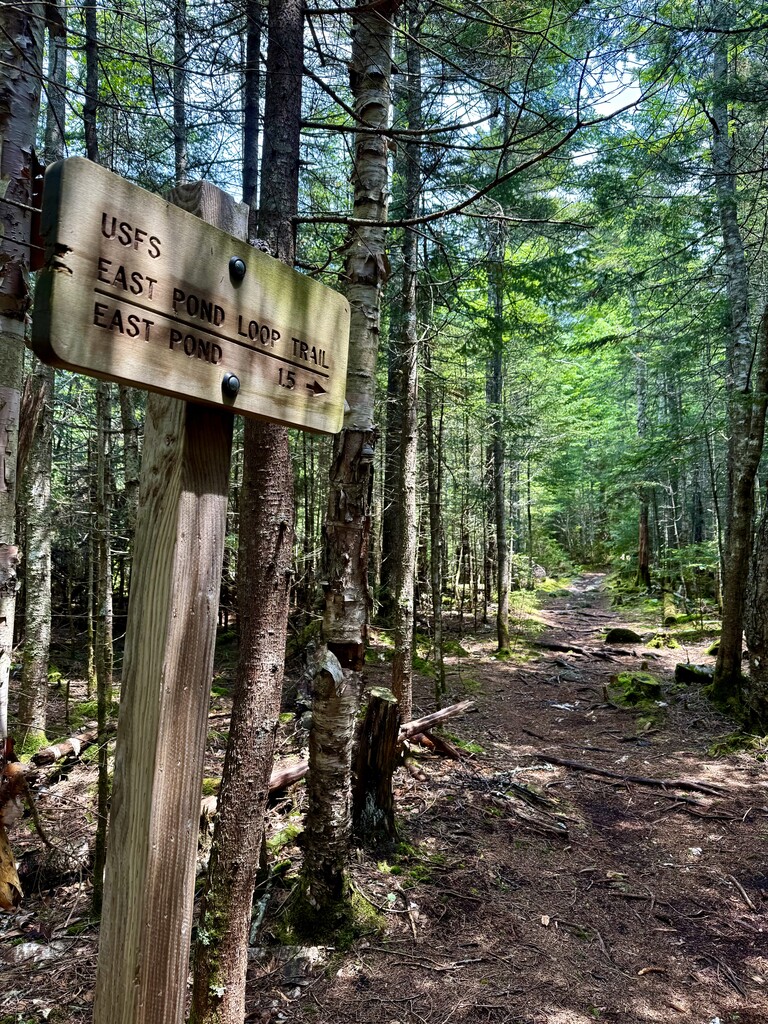
My Black Diamond poles came out and I was off! The trail was in great shape this day, dry for the most part and included some awesome views. I feel like a lot of this route is pretty runnable for the most part in some sections. Some techy uphill sections on the bigger accents and great smooth runnable downhills. One of my favorite trails/sections is the East Pond area mostly because of the views but also because of the pine/loam that just feels good under the feet. The Hancock Notch Trail offered a sense of being alone mostly because people access the Hancocks in that area rather than turning to go to the Sawyer Pond zone. The push up the Livermore Trail to the Kanc Ski Trail was pretty reasonable, rocks were a bit wet and slippery but from that point it was all downhill from there pretty much all the way back to the parking lot on Livermore Road.
Water Source
1.) First Refill - Mile 6ish: The stream at the intersection of the Mt Tecumseh Trail and Tripoli Road
2.) Second Refill - Mile 12ish: The North Fork Hancock Branch (The river that runs along the Hancock Notch Trail, many access spots)
3.) Third Refill - Mile 18ish: The Sawyer River (The river that runs through the Hancock Notch many access points)
4.) Fourth Refill - Mile 23: Ledge Brook (The brook that intersects periodically on the Livermore Trail, access points lower on the trail)
Water: There were more points on the route to get water so if you need more there is more access