
Bear Run nature preserve.
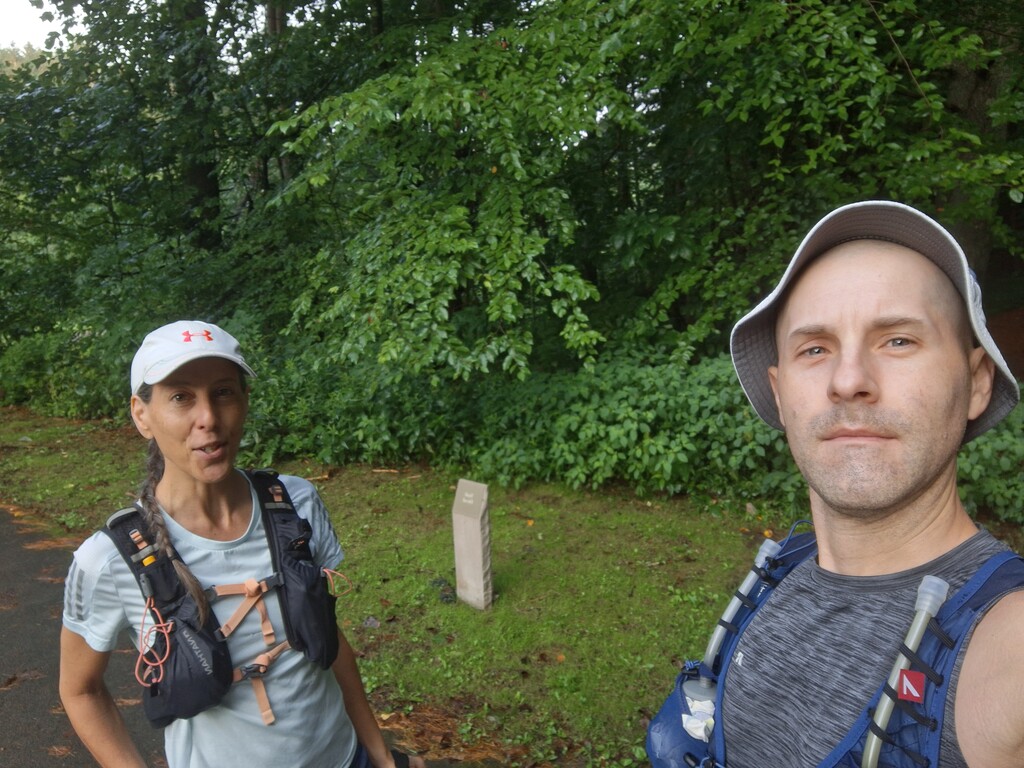
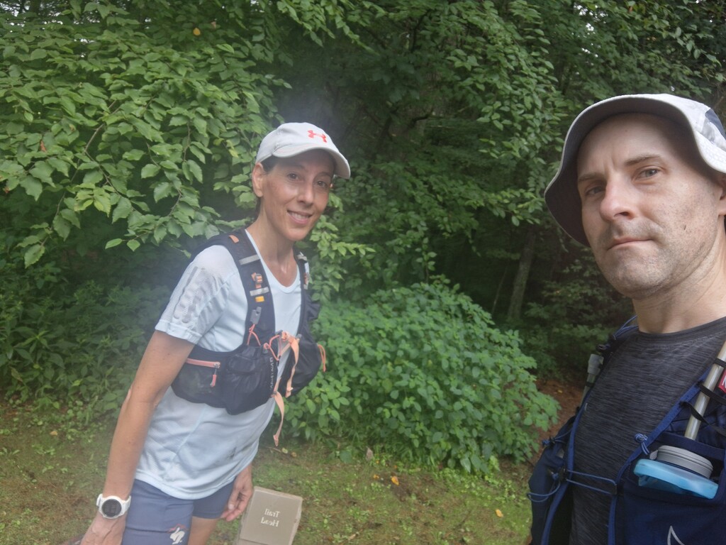
Me and me friend Jen did this as self-supported, stashing stuff along the trial. We both were never there before so we were on a new adventure. As much as we both have been to Ohiopyle, which is just couple mines down the road, this trail system was unique to us. Had the gpx file on my watch. It was an adventure indeed. Gps/cell service is spotty in that area to begin with. Well, my watch must not have really had a good green signal before we started. This was the black outer loop. Suprisingly there was 6 or 8 car sin the lot at 7 am, didn’t expect that. Also saw no one on the trail so not sure where those people where, must have been on a smaller loop or way ahead of us.
There is some black hiker symbol markers on trees at turns along with some other colors but we were following black, these were not at all turns though. And they are not really along the trail itself. Generally speaking my watch gps is decent. Well without proper signal It was actually hard to navigate. You could generally see where to go with the trail be imprinted enough. But at turns it was hard. The gps was a few times way off. Had us positioned off trail while we were actually on it, so figuring out the correct turns was rough. We went the wrong way I'd say 4 times and had to back track to where we were to get back on track. Seemed like gps was only off at turns but then again that’s only when I was really looking at it anyhow. So we ended up with an extra mile or so even thought we did the full route, the bad gps navigation had up do more. Was frustrating.
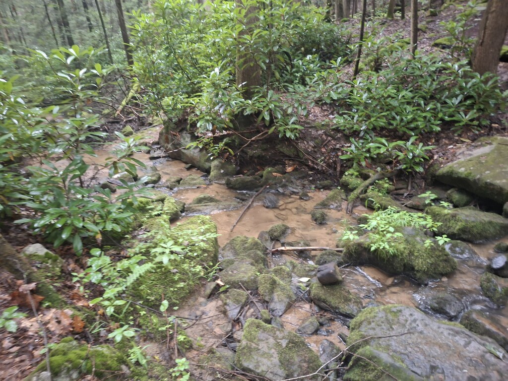
The other frustrating thing was that every time you got good momentum going, there was a small creek crossing, big sketchy rocks/boulders had run over or most often trees down on the trail. I'd say we ducked under or jumped over a good 50 trees. So that slowed us way down. It was also very humid by a miles in my face felt like a waterfall with all the sweat running down it.
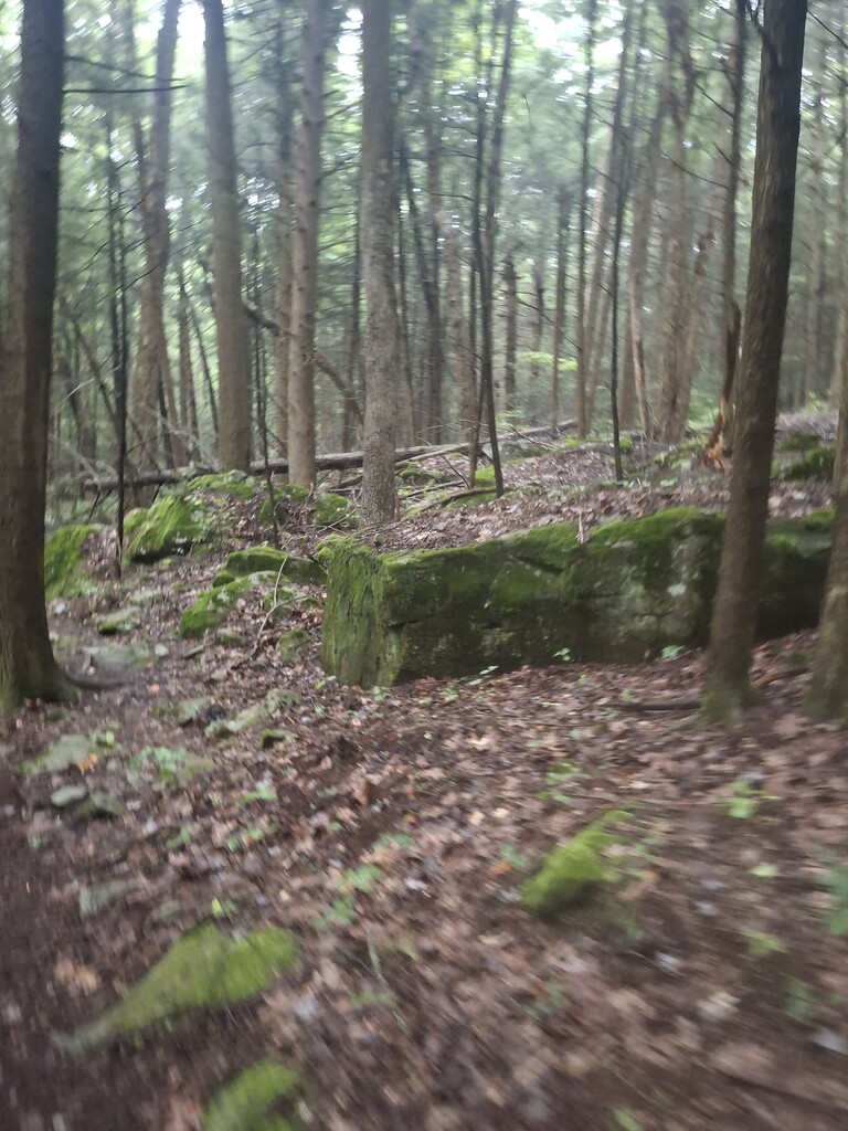
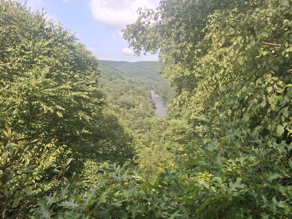
I will say though there is a good varying terrain throughout the loop. Not sure if it was overall funish because it was a new area or in fact it actually was fun because of how the scenery actually was. Wish we could have stopped and taken lots of pictures though. Was foggy up high. Was a few small bridges over the creeks but for the most part had to jump on numerous rocks to get across or just run thru. Probably would look nice in the fall. We did look at the 2 scenic overviews, nothing special about them. You can see how bad gps was off just from the start/finish. Finish has it on top of the building and right before doing some weird pattern at parking lot in woods. So if your going to do this loop make sure signal if fully green. I definitely plan on going back sometime to run this again hopefully there will be less obstacles along the trail.