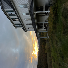
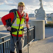
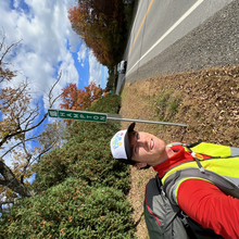
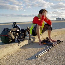
I had been thinking this walk would be a cool thing to do for quite a while. I came across Owen Duda's post on here doing it as a fundraiser in 5d 5h and it seemed like a sign to go for an FKT. A bit of an unconventional adventure in my backyard. No plane tickets or crazy backdrops, just walking from the highest to lowest point in the state. The places between our homes and the mountains are usually skipped over, and there was a feeling of exploration being so present in these "new" places. Camping on the side of a highway, or stretching in a Starbucks parking lot can really give you a different perspective on the world around you.
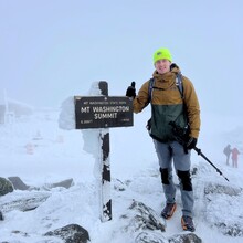
I started at 9:56am on Sunday October 15th on the top of Mt. Washington after taking the Auto Road's hiker shuttle up. Was about 1,500' of elevation drop before the snow and sleet stopped and the sun came broke through the clouds. Made my way down Lion Head and Tuckerman Ravine to Pinkham Notch visitor center where my bag weighed I at 27lbs. Threw on a high-vis vest and walked down 16 to Jackson. Continued on a nice side road following the route to Intervale and onto North Conway at around 7pm. Unfortunately, this is where 48 hours of rain began and I found refuge in an empty event tent at the center of town.
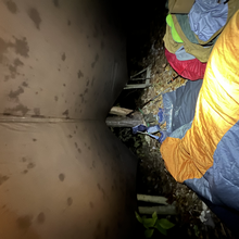
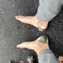
Rain continued all day Monday as I walked towards Conway, filling up waters at Settler's Green and then getting off 16 onto 153. Middle of the day the rain picked up and made for some serious heal blistering. About 2 miles north of Ossipee on Elm St. I set up my bivvy in the woods at the corner of two busy-ish roads.
Tuesday was the bulk of Rt. 16 walking from Ossipee to the Union area. Started the day with some Dunkin Donuts and then walked along the road from 10 or so hours before leaving Rt. 16 and heading to Milton. Although I was walking from the highest to lowest point, this section was surprisingly hilly. That night I met a nice farmer who let me sleep on his land, which also provided some water and peace of mind.
Wednesday started by walking through Milton, eating at Bucky's Skillet (highly recommend) and pushed on to Rochester. This is where you can really see an increase in population density. Walked from Rochester to Madbury along some backroads I had never been on before which was crazy to me, as I grew up not too far away. Had trouble finding places to sleep at this point because of the high number of homes and spent a good hour knocking on doors asking to sleep on people's property. As I was losing hope, I received a generous "yes" from a person in Madbury who allowed me to spend the night in they church basement.
On Thursday I walked through Durham, my alma mater, getting coffee and continuing to Newmarket and Stratham. These are the roads I knew best and it seemed to slow things down. It was also towards the end so a countdown in my head didn't help either. About 10 miles from Stratham to Hampton Beach, stopping here and there to rest my feet. Made my way across the marsh a bit after 4pm and finished at 4:43pm on Thursday October 19th.
*This was my first time using Gaia for any purpose. After stopping the GPS it read the correct time, around 102 hours. After getting back home the time was now 114:20:26. If that were true I would have finished in the dark at 4am on Friday. Although I only have a witness and photo proof I hope you can believe me on the 12 hours difference with my gps.
This turned out to be a lot harder than I thought... But like a lot of things outside it forced me to be present and focus on what was important in the immediate future. Like food, water, blisters, sleep. Combining otherwise boring sections of roadway into this "grand" trek proved to me that anything can be made into an adventure.

