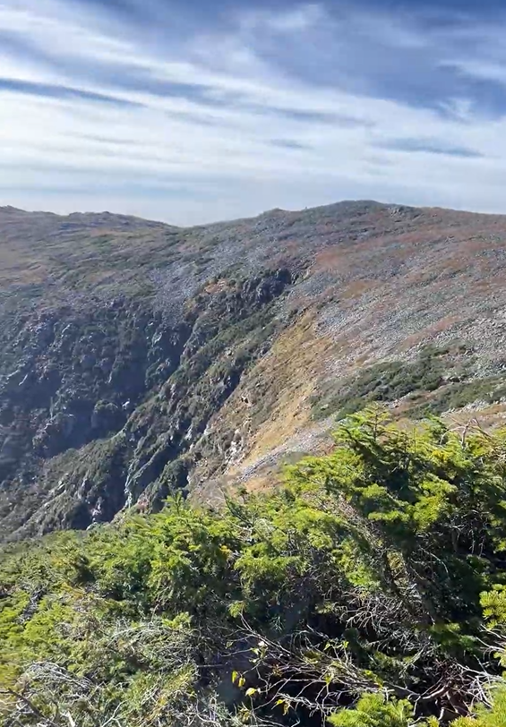
This route begins at the summit of Mt. Washington (6,288'), the highest elevation in the state, and ends at the lowest... Hampton Beach, sea level. Dubbed- Clouds2Sea. This route is nearly 115 miles down the state of New Hampshire and was initially done as a fundraiser for a dear friend who passed away too soon. Although more time is spent on the road than trail, you have the glory of starting above tree line at over 6,000 ‘, and get to take in the beauty of the iconic presidential range as you descend. This point-to-point route is a beautiful adventure that allows you to explore many beautiful views this state has to offer.
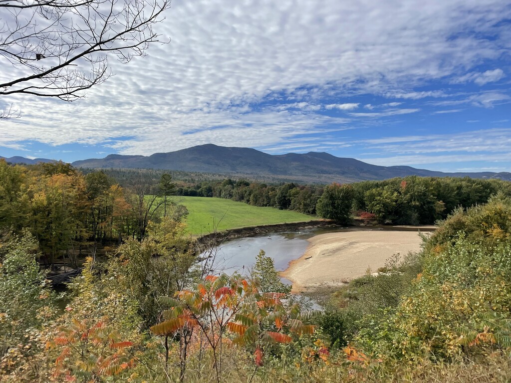
After descending Mt. Washington via the Tuckerman Ravine Trail and the Lions Head Trail to the Pinkham Notch Visitor center, you begin your journey from dirt to asphalt. The majority of this route involves following state highways, with little backroad cruising in some spots. From Pinkham Notch Visitor Center, you will head south on route 16 taking in the views of the notch and Ellis River. Following 16, it is nearly a straight shot through the iconic town of North Conway, where you can stop to gather more body fuel and water. After continuing down route 16 for sometime, you make the transition to route 153 (Eaton Road), which takes you around the western shore line of the gorgeous Crystal Lake, Long Pond, and Purity Lake. From 153, there is a couple of miles of back road travel until you reconnect with route 16 in Ossipee NH. You will travel through 4 new towns on the beautiful route 16 before reconnecting with 125 through Rochester, to avoid dangerous foot travel sections. From here you continue to travel south to Durham NH, the home of the University of NH, and start to smell the ocean tide. After a quick 5 miles you will be in the beautiful mill town of Newmarket NH, the 100 mile marker! You will make a couple turns in this short stint linking route 108 and 151, until you quickly reach the well-known route 101... the long straight road leading you directly to the ocean. As you walk on the road through the beautiful ocean marshes on either side of you, you will see the ocean appear right out front of the Ashworth Hotel... and here is the end.
Logistically, this route is straightforward, and you are blessed with resources around at almost all times if needed. I opted for a one way Cog Railroad ticket up, but individuals could certainly trek up, or utilize the auto-road. This project was not initially intended to be for this purpose, but as a part of a fundraiser to celebrate, and commemorate, the life of a friend. Being an avid trail runner, this was a dream of exploration, not competition. I hope by having done this, others can trounce my numbers, and be able to enjoy this amazing route as I was able to do.