Athletes
Route
Route variation
Standard route
Gender category
Male
Style
Self-supported
Start date
Finish date
Total time
9d
22h
58m
0s
GPS track(s)
Move_2019_10_15_07_40_13_Hiking.gpx513.88 KB
Move_2019_10_16_06_55_43_Hiking.gpx473.37 KB
Move_2019_10_17_08_01_43_Hiking.gpx557.48 KB
Move_2019_10_18_07_41_27_Hiking.gpx560.65 KB
Move_2019_10_19_06_36_10_Hiking.gpx187.54 KB
Move_2019_10_19_16_31_07_Hiking.gpx266.18 KB
Move_2019_10_20_08_43_01_Hiking.gpx435.83 KB
Move_2019_10_21_07_05_41_Hiking.gpx580.39 KB
Report
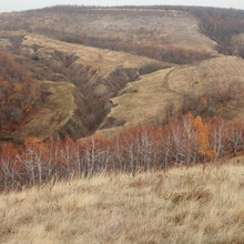
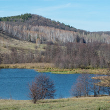
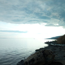
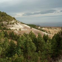
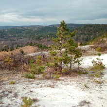
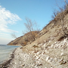
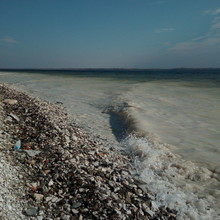
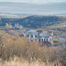
The trail connects the northernmost and southernmost points of the Saratov region on the banks of the Volga River.
More info: https://www.sambatrail.ru/sary-tau-trail/
Trip report: https://www.sambatrail.ru/stt-report
Video: https://drive.google.com/open?id=1XNaeB5CdWvahYLXw-UIHIH-LATBeFPxM
Notes
1. Suunto gpx file from the 1st day is incomplete since it was accidentally paused. Garmin Dakota gpx contain all route except the short gaps when I did not notice drained batteries.
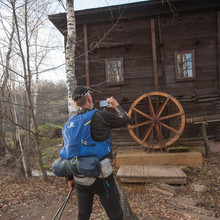
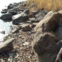
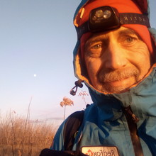
2. Photos I uploaded are from the set used in the video.
I suggest viewing more images sorted by days using the following link: https://www.sambatrail.ru/stt-photos

