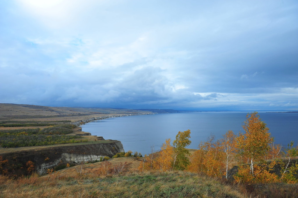
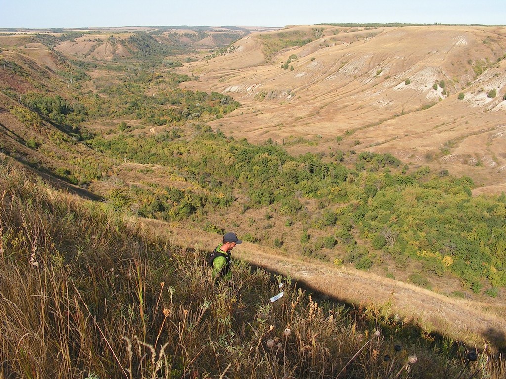
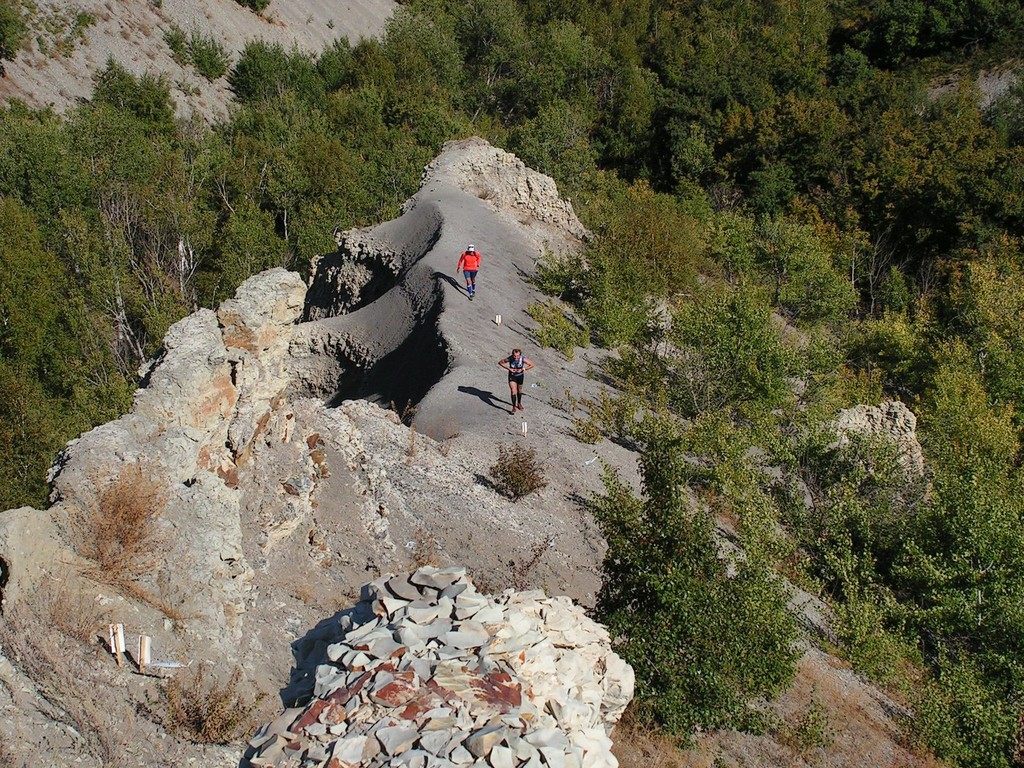
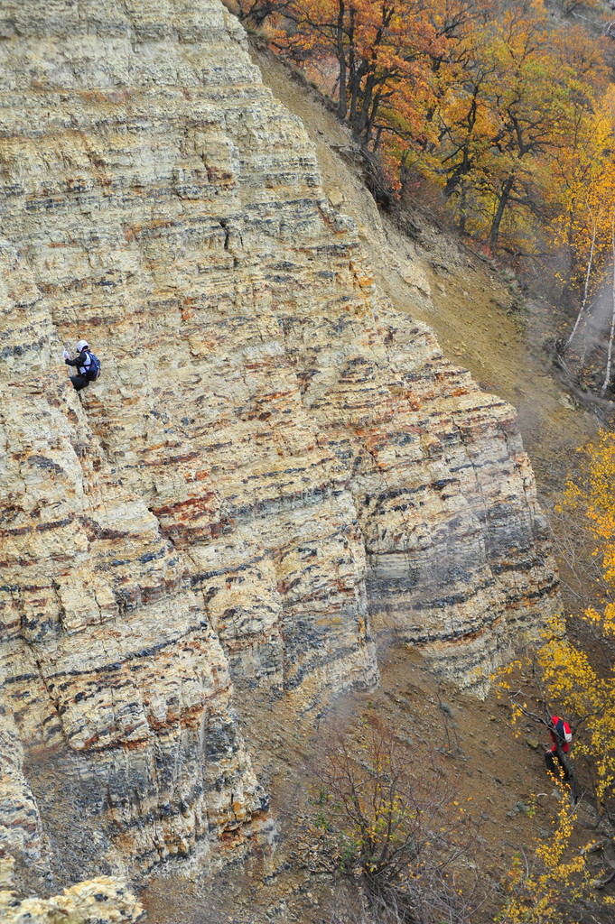
Route: Sary Tau Trail (Russia)

Location
Russia
Distance
573.1 km
Description

Submitted by Dmitry Postnov:

Sary Tau ("Yellow Mountain") is the ancient Turkic name of modern Saratov, Russia. The length of Sary Tau Trail (STT) is about 570 kilometers with a total climb of up to 10 kilometers.
The trail connects the northernmost and southernmost points of the Saratov region on the banks of the Volga River. It passes the most beautiful landscapes and attractions of the region, including Khvalynsk National Park, Man-made craters near the Volsk, Serpentine Hills, Relict Moss Swamp, Kudeyarov's cave and an old mill in the village of Loh, pine forests and chalk slopes of the right bank of the Volga, Nature Park "Nizhnebannovsky", Monk's Cave, Stepan Razin Cliff. It ends at the foot of Durman-Gora ("Datura Mountain"), at the southernmost point of the Saratov land.

https://www.sambatrail.ru/sary-tau-trail/

GPS Track