

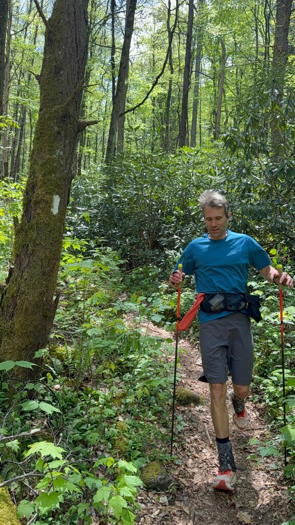


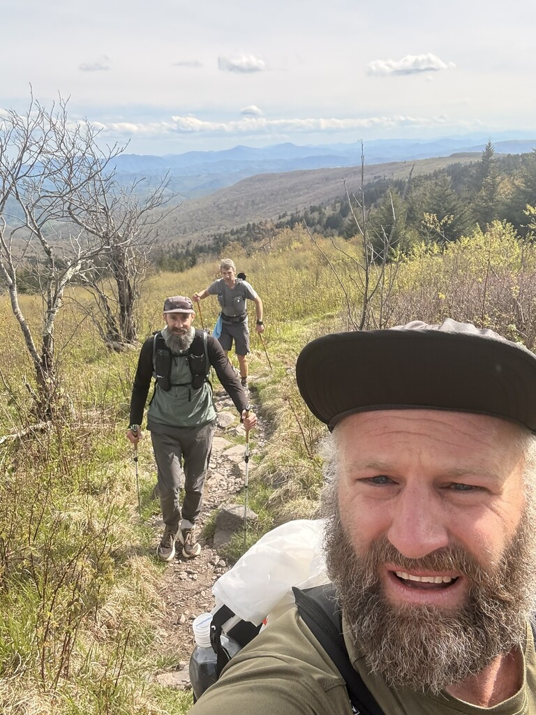
I set out to connect Roan High Knob and the Mt Rogers Summit via the Appalachian Trail on Thursday morning, April 30th. I started from Carver's Gap to make the 1.5 mile climb to the geological survey marker at 1:51 am, officially reaching the marker and starting the route at 2:21 am. This was a supported attempt, I had organized gear and food in my car and my good friend Ric Wilkinson was traveling along the route and supporting the entire way. This made logistics so much easier and was incredible to have his help and support.
After carefully descending Roan High Knob into the balds of Roan Highlands, the moon would shine intermittently between bouts of thick fog. Wind was gusting over 30 mph making for a brisk traverse of this section. After arriving at Big Hump I caught up with Ric, who had parked at 19E and headed up the trail to meet me and run back to the highway. The long descent was pleasant, I tried to keep a conservative pace to save the body for later miles. Had a quick stop at the car to ditch headlamp and get some more food then crossed the road into all new-to-me trail. Trees had fully leafed out and green ferns covered the ground offering a beautiful start to the day. Multiple waterfalls made for interesting features to admire along this section too. I passed by several through-hikers on their journey to Katadhin. The trail eventually met with Elk Creek then ascended slowly to the next section to get aid, Walnut Mtn Road. Ric parked car here and ran to meet up again which was great - I'd get to enjoy his company a bit then he would speed off to the car to get it ready to swap water and food. Everything felt great here, ate some berries restocked calories and tried to keep this transition relatively quick. A very tired hiker arrived to this road while we were here and asked about getting a ride into the nearest town.
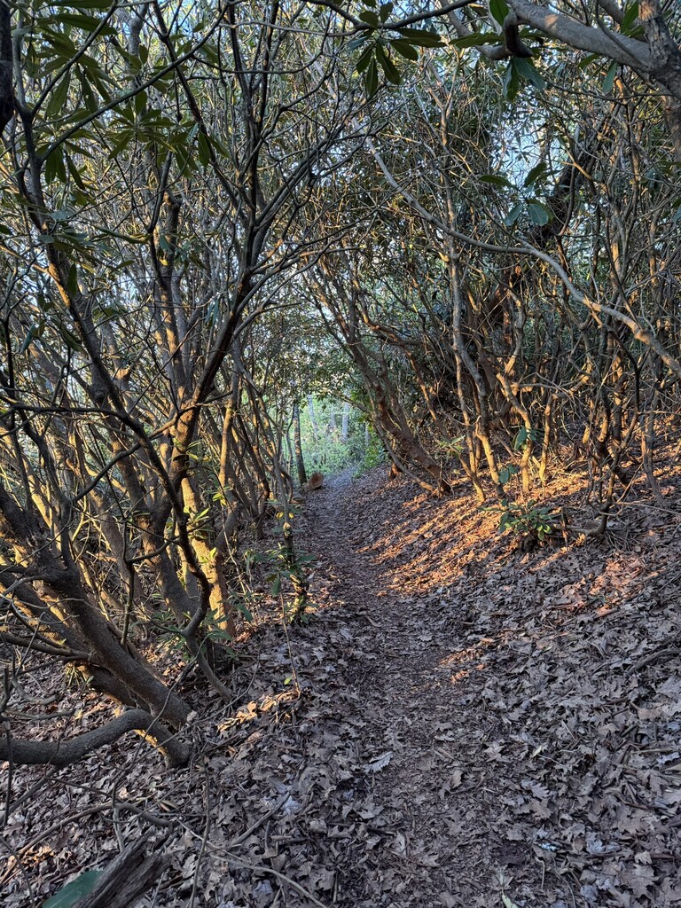
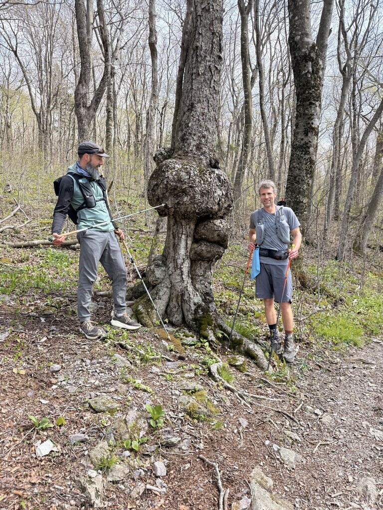
I headed off into the next section, which was going to be close to 14 miles to Dennis Cove Road. Temps were perfect and the terrain was conducive to making good time here, I was really enjoying the woods for the next couple of hours. Rhodo thickets, creeks, small foot bridges - easy going. I met Ric again right near the final descent down to Dennis Cove, and we ran together to the car. Ready for some Coke, fruit, and best of all Ric had bought some Big Macs from a nearby McDonalds which I devoured! Turns out Ric had given a ride to the Hiker from Walnut Mtn. Rd. and he ended up paying for our McDonalds Meals! Spirits were still high here and I was looking forward to seeing Laurel Fork Falls.
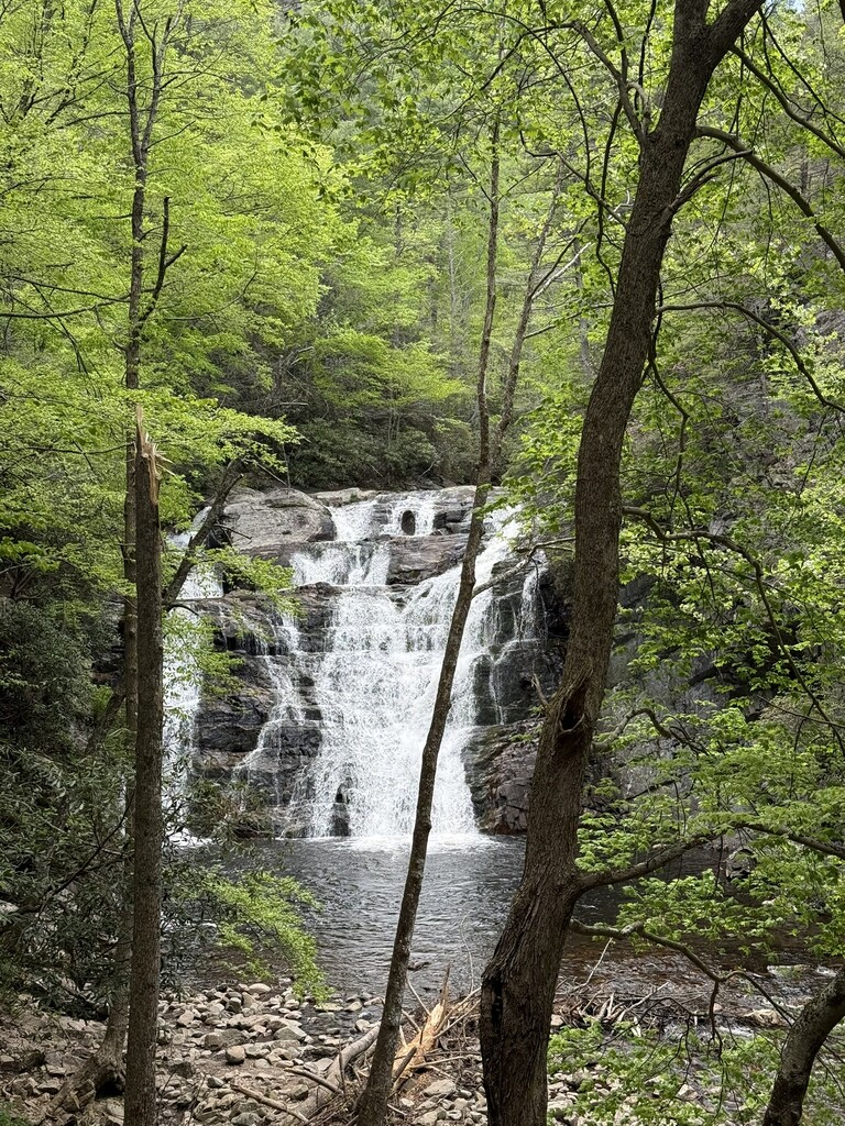
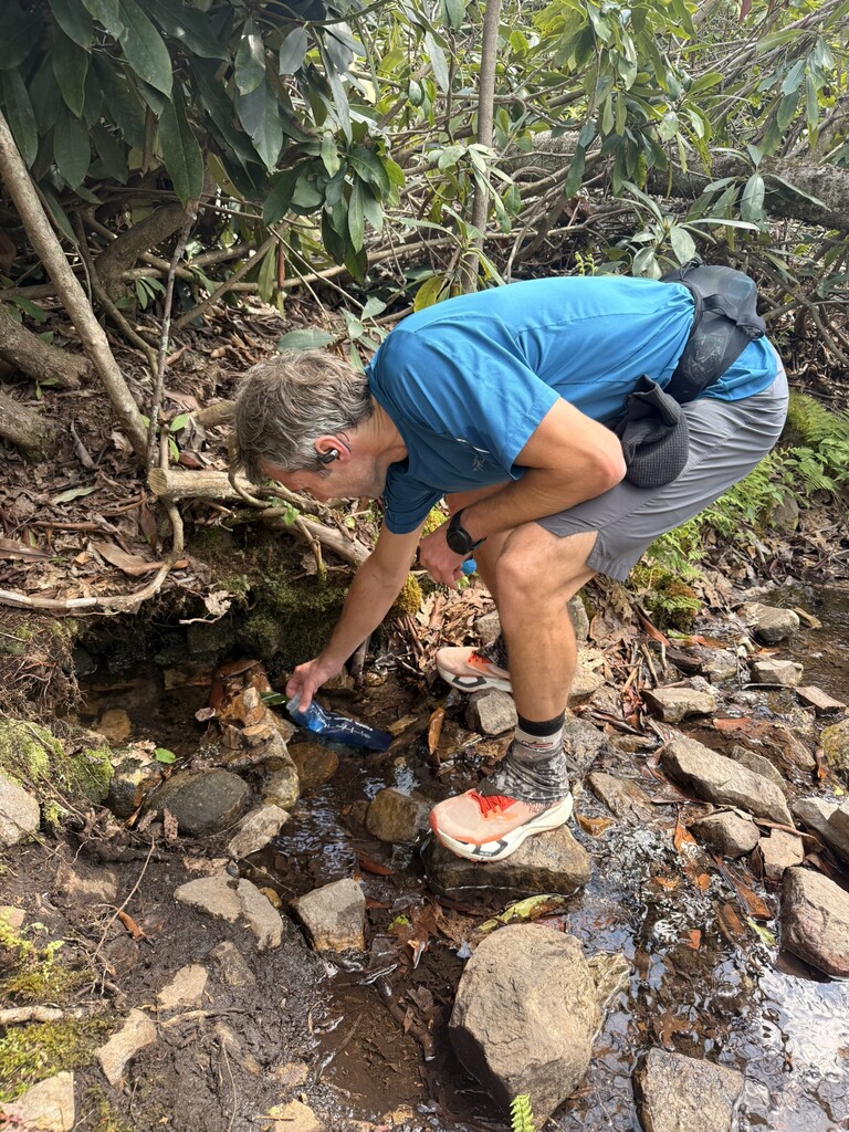
Some of the Laurels and Azaleas were blooming down low, making for an exceptionally scenic creekside experience by Laurel Fork. After a mile or two, a long staircase of large rock steps led to the falls proper. The trail was right by the water here and wandered around a cliffside which was interesting. Several footbridges aided in water crossings, one of which had a trail crew fully working to restore. Thank you! Once the trail left the falls, I settled in to what I knew to be one of the larger steeper climbs of the route up Pond Mountain. I kept drinking and eating when I could and slowed to a maintainable pace but this climb felt like it took forever. Crazy enough as the climb ended and began the descent I found a small running water source and filtered water. Met up with Ric again who was crushing miles in the woods meeting up with me. We took this section very conservatively just for insurance for later miles. Intermittent views of Watauga Lake served as great motivation.
Arrived to Shook Branch Parking and mile 50 a little after 4pm and spent about 15 minutes eating and ditching any unnecessary gear for the next shorter section around the lake and past the Wilbur Dam. This section was beautiful - warm with filtered sun through trees and plentiful lake views. Small climb after the Dam then a stop at Wilbur Dam Road around 5:30 pm. I took a bit longer here as it was the last stop before the night section. I changed socks and shirt, ate some Ramen, changed from belt-only to Pack and Belt and tried to make sure I was going to carry enough water and food for the next miles as it was on top of a ridge with questionable water availability for filtering. A lot going on here and Ric kept reminding me of gear that I should take which was crucial. Despite his help I forgot my mittens for the cold night! Ah well, I had some other shells and hand warmers that should suffice.
The climb up to the ridge towards Cross Mtn. was hot and the vest I had put on was particularly uncomfortable. I made steady progress here regardless and eventually gained the top of the ridge as the sun began to set. Although it was a high ridgeline, the trail was very much up and down, no real flat sections. It was fun to pass shelters and check out all the backpackers' setups and the community there. Close to the halfway point of the route the sun went down as did my alertness and ability to stay awake. I had not slept the night before this run and the lack of sleep was catching up with me. I tried to put on some music, do whatever I could to keep my mind active but for the next several dark hours I struggled with staying awake. I almost missed a crucial water source on this ridge, but happened to see a small metal sign noting its location, so I backtracked slightly and filtered much. Past the ridge, the trail wandered through open woods, sometimes making me feel like I was going backwards, but eventually I saw the car and was ecstatic to have made it to reassess. Ric had stopped and gotten a delicious calzone for me (incredible!) to take along for the next section. I got some caffeine, ditched the vest, stuffed what food sounded good into a belt, and headed out again.
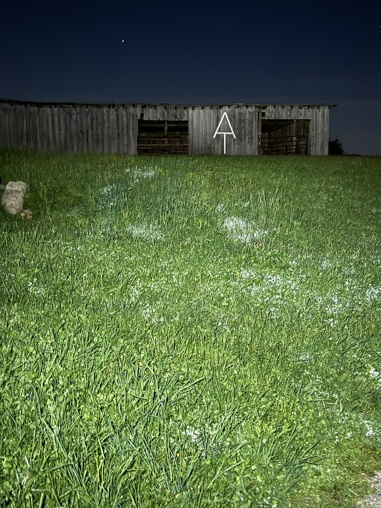
The next section started in an open field with a cool barn that had a huge "AT" logo on the side. The wind was blowing through the open fields and made it quite hard to stay warm, but once the trail entered the woods again the temps were manageable. I was keeping as steady of a pace as I could here, just following the beam of my headlamp and trying hard to enjoy the experience. Through Low Gap without much fanfare, then another 3.5 miles to McQueen Gap which would be last aid stop before Damascus. Saw a Mama Bear and baby bear on the trail. At McQueen I was so exhausted I tried to nap for 20 minutes. I did not fall asleep but just laying down for those 20 minutes helped me for the remainder of the night section.
The rest of the evening was spent making slow and steady progress towards Damascus. Close to sunrise the descent to town began, and with the sun filling the world with light and energy I started to come alive again. I felt like I made great time into town, excited to get there. Entered the town park and saw the car like a steady beacon of hope. Swapped gear and food and water at the Car, then headed out with Ric following the trail, with a small detour to The Damascus Diner. Oh my gosh what an awesome stop. When Ric first suggested this I wasn't sure if it would make sense or not, but wow, just incredible! Downed a Bacon Burger and coffee and feeling renewed, I made way through town and onto the climb to the Iron Mtn Trail.
Feeling like a different person at this point I gained a small bit of time here, meeting Ric again at Feather Camp Road. From there the exposed ridgeline around Grosses Mountain started to zap my energy and psyche. Pressed on to Whitetop Road. My feet were feeling the miles here, I could tell I was going to have some blisters to deal with. Ric got out the chair and I set down to assess. It honestly wasn't as bad as it felt, I taped the problem toes up, changed socks and shoes and headed to the next section. My feet were starting to really hinder progress at this point, so I just walked when I had to and ran when I could. Felt like it took forever but eventually ended up meeting my Mom, Dad, Foster and Ric at the trailhead to the Mount Rogers Trail that would lead us to the Summit!
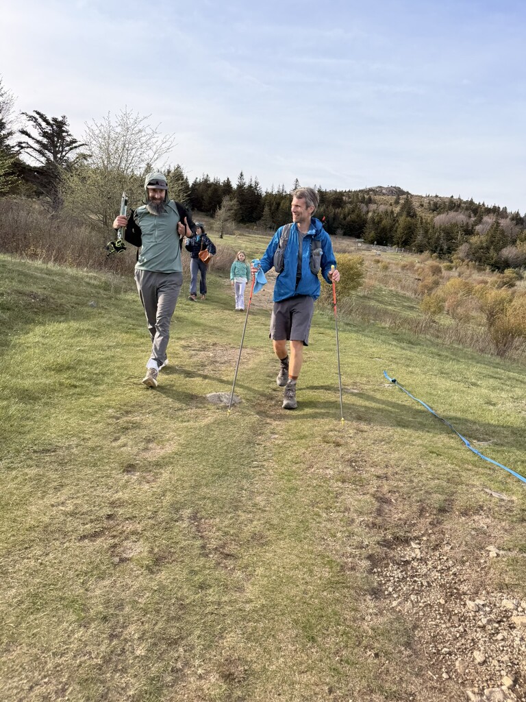
Ric, Foster and I all did the section from here to the finish together. Slow and steady, up through elevation, nice temps - almost hot but then wind would blow and cool everything off. Feet are screaming now but I can hike this ascent slowly. Felt like hours (and probably was) but eventually started to see the spruce and fir trees reassuring me we were getting close. The trail felt like it just kept getting longer but eventually wound around to the other side of the mountain, and finally to the spur trail to the summit. Weather could not have been better. I have only been on the spur trail once before this, but it felt about 14 times longer than I remembered. So happy to see the rock at the summit and tapped the geological marker at 5:11 pm on Friday, May 1.
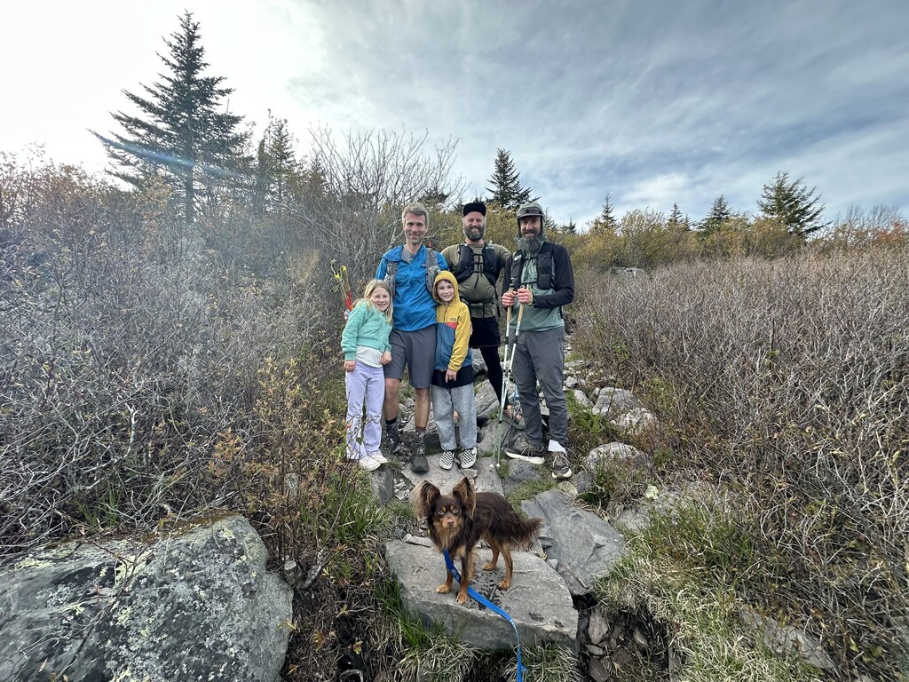
I can't thank Ric enough for his help, advice and support throughout the entire effort. It was incredible to have him there the whole way, what a friend! It was also so great to see Foster, my parents, and my family who hiked up to Grayson to suprise me and join the "hike" back from the summit to the car.
This route is gorgeous, difficult, varied, and overall amazing! A very special and scenic section of the Appalachian Trail.