Roan to Rogers
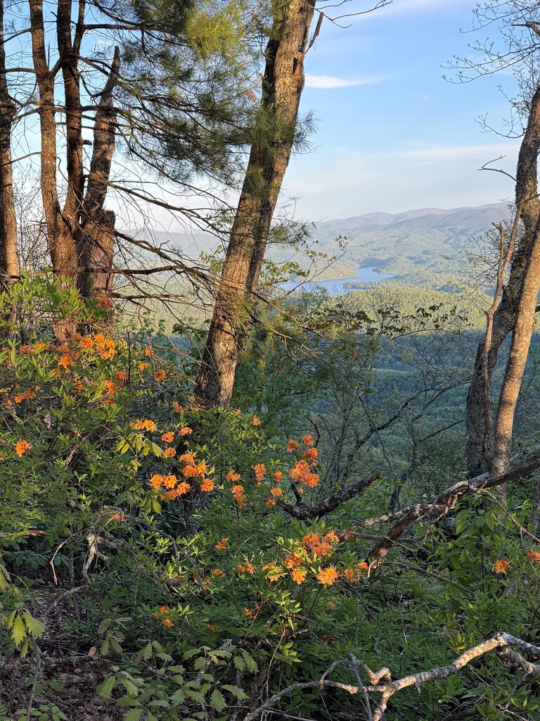
Roan to Rogers is a 116+ mile route that connects the highest point in TN outside of the Smokies (Roan High Knob) and the highest point in Virginia (Mt. Rogers). This route passes through a sequence of federally protected wilderness areas, national forests, and a national recreation area, travels through 3 states (TN, NC and VA), and is almost completely connected via the Appalachian Trail.
The Route begins at the Geological Survey Marker on Roan High Knob. Roan High Knob stands at 6,285 feet, making it the highest peak on Roan Mountain and the highest point in Tennessee outside the Great Smoky Mountains. The route ends at the Geological Survey Marker on the summit of Mt. Rogers, the Highest point in the state of Virginia at 5,729 ft.
From the start on Roan High Knob, the route will follow the Appalachian Trail until the last 1/2 mile spur trail to the summit of Mount Rogers.
This stretch of the Appalachian Trail connecting Roan High Knob and Mount Rogers is one of the most geologically and ecologically diverse sections in the entire southern Appalachians. Both Roan & Mount Rogers are unique spruce–fir ecosystems, relics of Ice Age climates.
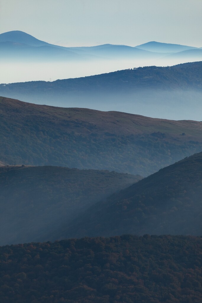
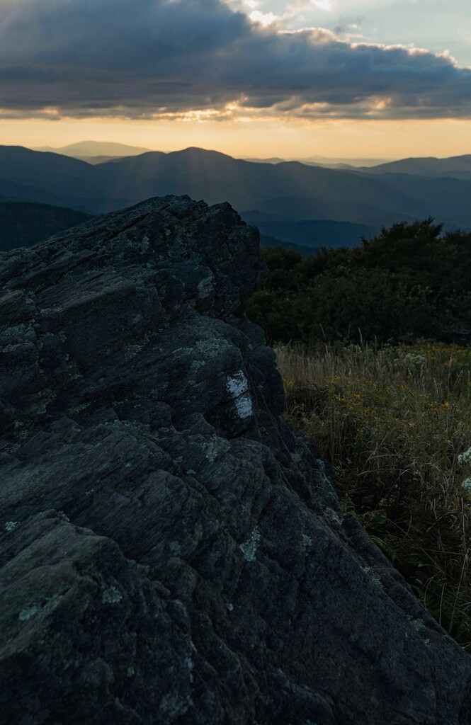
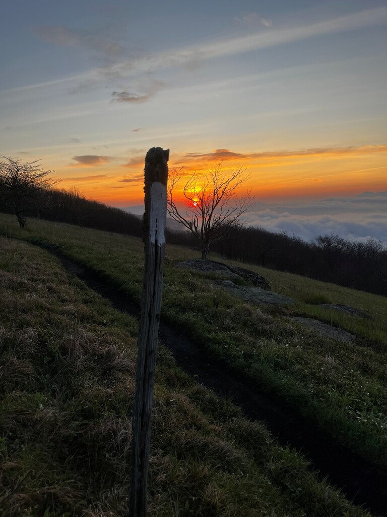
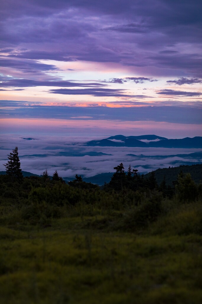
Beginning at Roan High Knob, the trail traverses the Roan Highlands, one of the most distinctive landscapes on the AT, featuring large grassy balds with expansive panoramic views in all directions. These balds form the longest continuous grassy ridge system in the Appalachians, covering ~7 miles of open terrain straddling the state line between TN and NC. The contrast in this zone is striking: within a few miles, you move from open alpine-like grasslands to dark, mossy conifer forests.
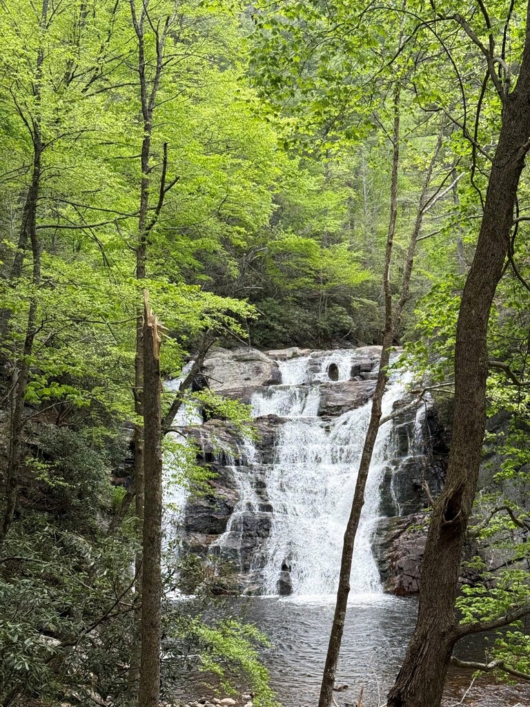
The trail then descends over 5 miles and 2600 ft to Highway 19E, where it enters a lower elevation deciduous forest that follows and crosses several tributaries and rivers with multiple waterfalls. After meeting Elk Creek and barely crossing back into NC, it turns North then East through Cherokee National Forest. This is classic Appalachian Trail, with continuous climbs, descents and the occasional creek crossing. After traversing the White Rocks Mountain Ridge, the trail descends to Dennis Cove where it parallels Laurel Fork and showcases the beautiful Laurel Fork Falls. The trail then follows the river for another mile or so before entering the Pond Mountain Wilderness and begins one of the longer climbs of the route, about 3 miles and just under 2K feet of elevation gain. From here, the trail turns and descends to the blue green water on Watauga Lake.
The Watauga Lake portion offers swimming opportunities and gorgeous views as it wraps around the southern end of the lake leading to and crossing directly over the Wilbur Dam. From here, the trail ascends to a distinct high ridgeline in the Big Laurel Branch Wilderness. Many smaller ups and downs ensue in the following miles that ultimately weave around and into Virginia before descending into the classic trail town of Damascus.
After enjoying the juxtaposition of civilization and asphalt through the heart of Damascus, the trail climbs upward and eventually links to the Iron Mountain Trail. Note this describes the 2026 detour of the trail and would be different from the VA creeper section once it reopens. Both are similar mileage and vert. The terrain is now more reminiscent of the classic long Virginia ridges - ancient sedimentary layers that have been folded into parallel ridgelines. Most of this ridgeline is relatively exposed and steep, making this section particularly hot if the sun is out. After 6+ miles of ups, downs, ups and downs including the peak of Grosses Mtn., the trail descends to Whitetop Road where it links up with Little Laurel Trail, leading to a variety of roads, roadbeds, and more trails ultimately arriving at the Mount Rogers trail on the North side of the mountain.
From here it's a 6 mile, 2000+ ft grind to the summit that maintains a steady grade but gets progressively more technical with each mile. The Mount Rogers trail ascends through lush deciduous forests into a spruce-fir ecosystem before heading toward the beautiful highland balds of Grayson Highlands, offering exceptionally rocky tread but incredible views throughout to keep motivation high. After circumnavigating around almost 2/3 of the mountain, the Summit spur trail appears on the left and climbs the final 1/2 mile to the geological survey marker confirming you are now at the highest point in VA.
https://www.strava.com/routes/3486950520586238156