


Trip Summary:
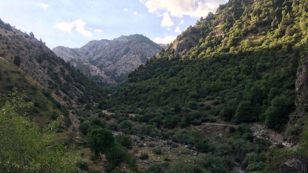
Wanting to make the most of the cooler mornings we left Dushanbe shortly after 0330. As ever we're very grateful to the ever-reliable Vadim who drove us up to the trail head and agreed to meet us at the end too. We began walking shortly after 0430. The "7 Bridges" trail is well known and well trod, but I've previously not travelled more than 8km up the path (as far as the 9th bridge - the name is a misnomer - we counted over 16 bridges on the day). I'm well acquainted with numerous stories of the rabbit-warren of valleys, spur-valleys, dead-ends and the like that hikers and runners have encountered higher up. For this reason I'd been careful to study the route, bring a copy of a GoogleEarth GPS export, a paper map and a digital map. The pass was marked on mapy.cz (https://en.mapy.cz/s/kuvagaluto), so I was confident that the route was there to be found!
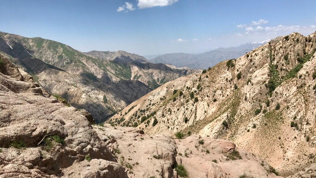
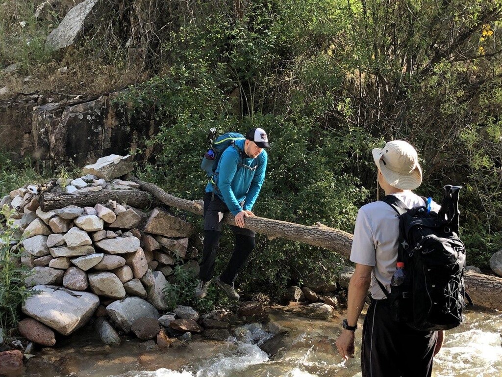
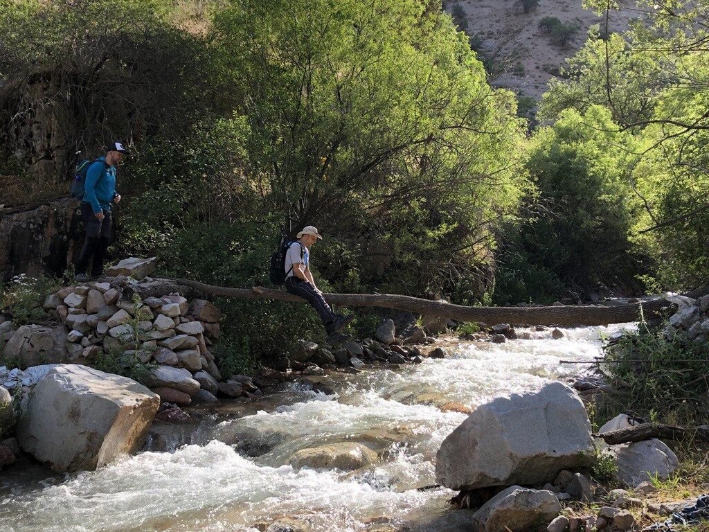
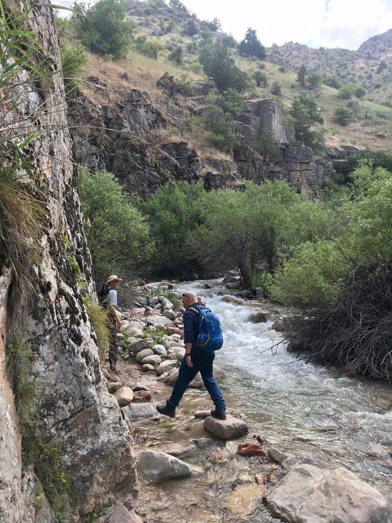
The first few hours passed quickly and easily. Given none of us had been higher up the route we didn't press too fast, not knowing what might greet us once we reached the base of the pass. Shortly after 3hrs we started to need to study the map more closely to ensure that we didn't take a wrong turn. Particularly at the points where the river was joined by streams from the spur valley were the moments where the path became at times less discernible. For us the crucial turn came after around 3hrs at [38.7620261N, 68.9440833E] where the trail crosses the river (no bridge) and takes a 90 degree turn from heading S to heading E at a confluence of 3 valleys. From this point on the path, whilst still discernible, has more sections that are shaley, subject to erosion or generally less well trod.
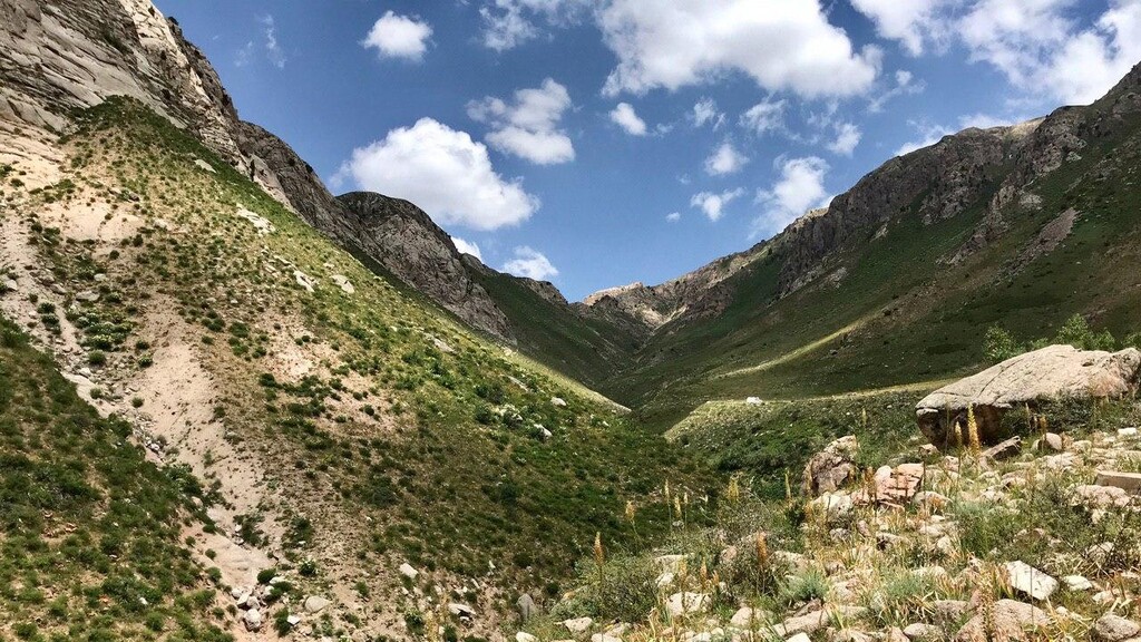
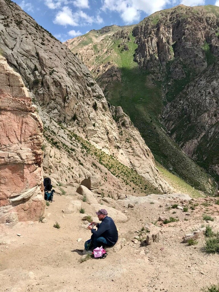
The pass begins in earnest at [38.7628314N, 68.9762483E], up until this point the elevation gain had been pleasantly gradual and there had been constant water access. The start of the pass also marks the end of the trees and shade. We reached the base of the pass after around 5hrs. Despite only being 0930 it was pretty relentlessly hot and the bowl-like nature of the valley-end only amplified the sun's heat. That final 400m of ascent took us around 45 minutes to cover - we reached the Kumkayakutal pass at around 1030. The final approach involved a little scrambling over very gritty rock - only to realise that if we'd headed further N around the rocky outcrop that there was a more established path to be followed, which would be much more discernible if you were following the route in reverse.
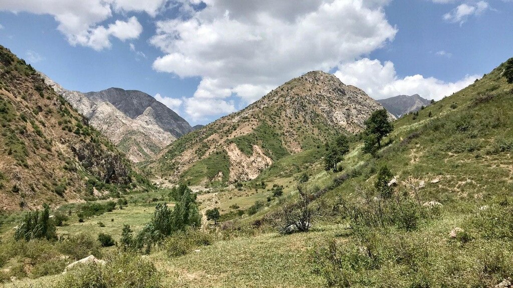
After a few photos, a call to Vadim and some food we began our descent down to the Simiganj river on the far side of the pass. The valley floor on the E side of the pass is only a couple of hundred meters lower and it's reached very quickly. The trail south toward Dara is pretty pleasant, though initially quite rocky. The sun was now higher and there was no shade to be had. There are also no bridges as the trail zig-zags the Simiganj, so eventually we gave up looking for stepping stones and accepted the refreshing cool relief for our feet. We were joined by a homestead owner and his donkey for a the final few kilometres into Dara village.
We'd arranged for Vadim to meet us at 1330-1400 outside the village of Dara. We arrived at the finishing line (the bridge in Dara: 38.6863333N, 69.0118611E) shortly after 1400. Unfortunately the absence of decent mapping of Tajikistan on Google meant that Vadim was a further few km down the road, so we had to wait around in the baking heat with no shade for a few minutes longer!
Reflections:
We were very uncertain as to how long this route would take (my best case scenario estimation had been 10hrs, which we beat) - indeed we had even brought gear for an unplanned bivvy. This could be done much quicker with lighter packs, more reliance on the water sources (we each carried 3+ litres of water) along the route and with better knowledge of the route. Anyone attempting it for the first time needs to make sure they've really studied the route - especially if going from E-W. I'd be interested to try the route in reverse as I think there's the potential for it to be done faster still - especially given that the cumulative elevation gain would be less.
Acknowledgements:
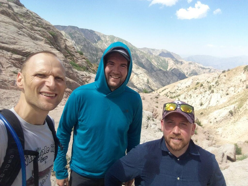
Thanks to Brian and Markus for joining me for our adventure!
Thanks to Vadim for driving us and finding us!
Thanks to our wives and kids for putting up with our desire to head to the mountains for long days!
Thanks to friends who had repeatedly mentioned this route and constantly piquing our interest!
Thanks to the Archa Foundation (www.archataj.com) - for the work they do in Tajikistan to make routes like this known and accessible!