Athletes
Route variation
Loop
Multi-sport
No
Para athlete
No
Gender category
Male
Style
Unsupported
Start date
Finish date
Total time
1h
53m
19s
Verification
GPS track(s)
Photos

Report
I ran this alone, unsupported. I carried no water and only 300 cals on Gels.
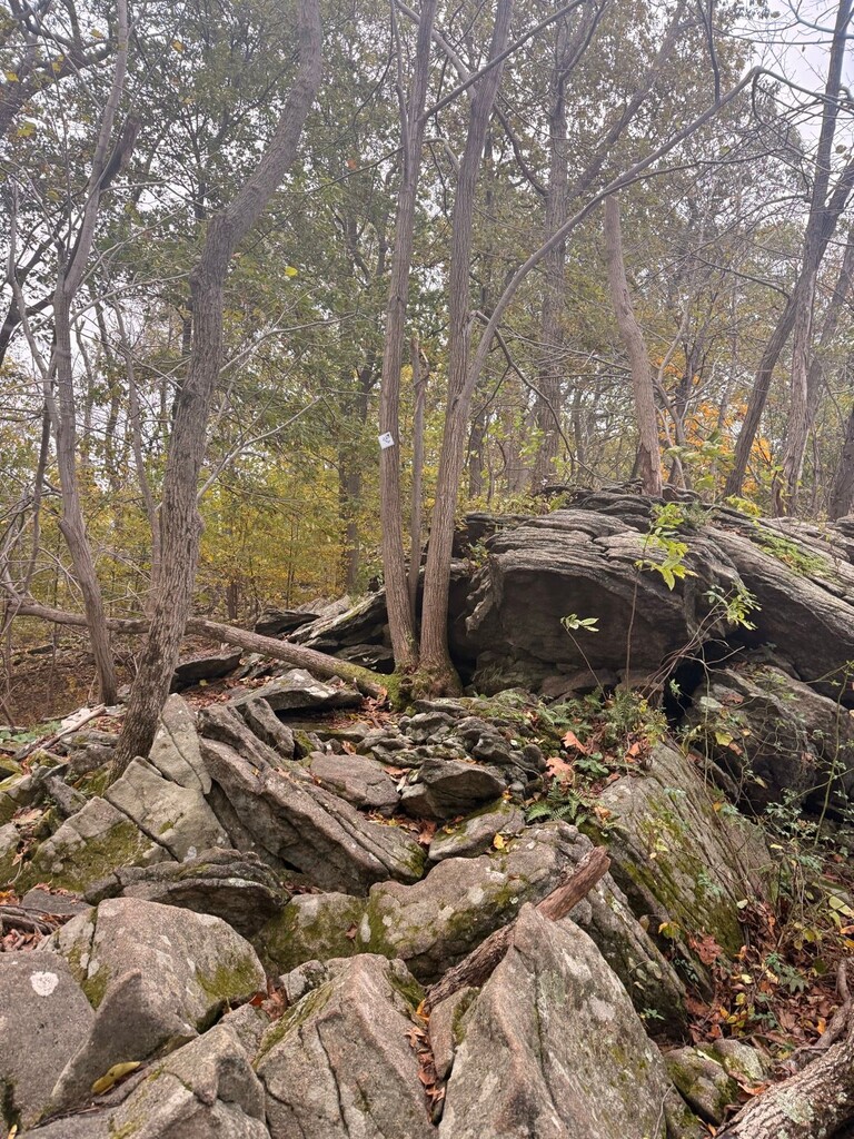
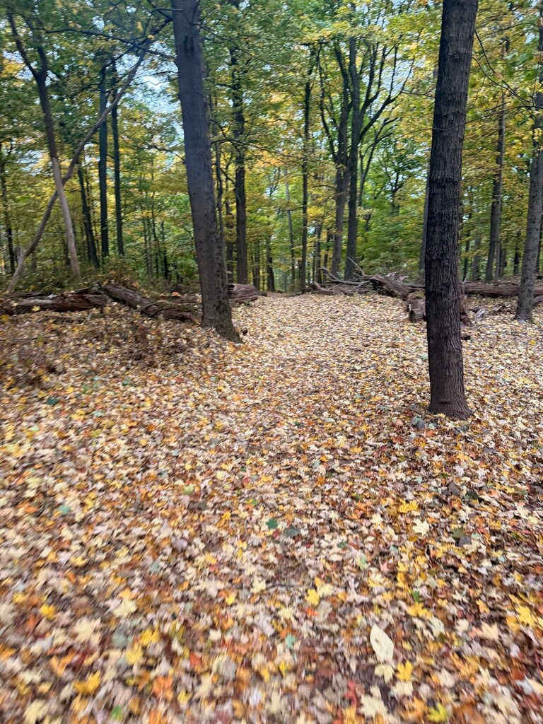
There were very few hikers on the route but I saw groups of people when I passed the norther side park lots near the park offices.
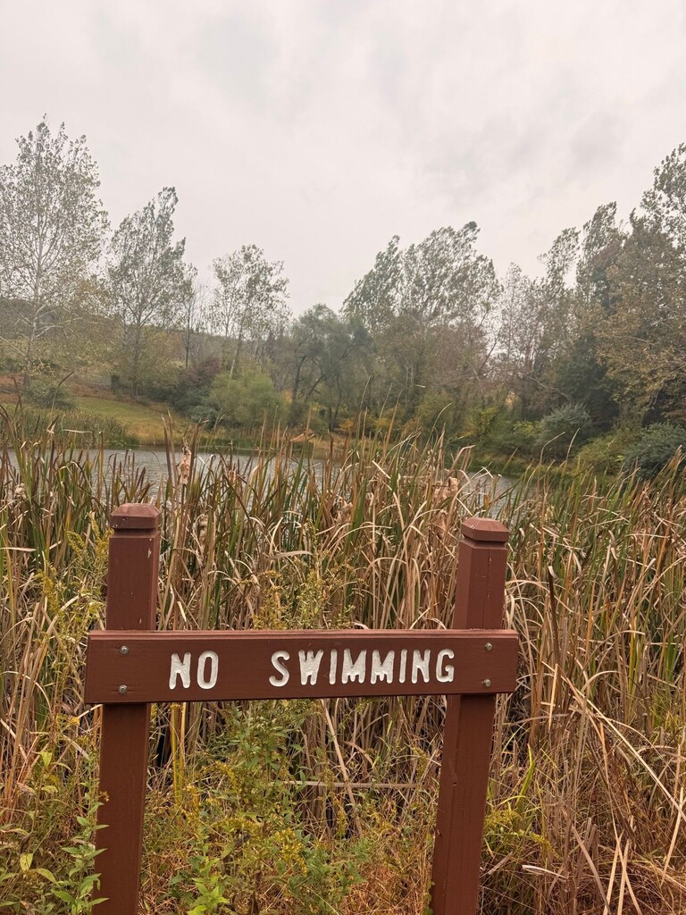
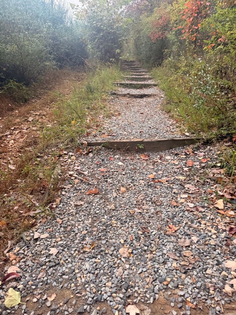
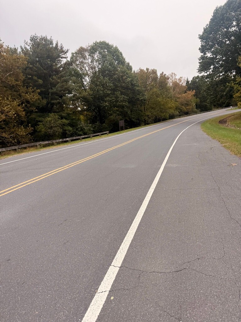
The route involves about 3 Km of Paved road which makes it an interesting change of environment after many breath taking hills. There are some water sources on this route, some temporary depending on the season but I would definitely filter before drinking it.
This park has strong warnings to bears and rattle snakes but I am still glad to have see none before.
⛰️ Cushetunk Mountain (254 m) | 🌐 summitbag.com.