This is a copy of my trip report from my substack The Fastpacker.
When Justin and I were getting insurance for our White Mountains Running Retreat, in the fine print of our best quote it said walking and running were permitted, but hiking was not. We thought about asking our leaders and clients to only run or walk, and never hike, but in the end we had to change our insurer.
It’s a funny anecdote, but maybe they knew something. There is truly something magical that happens when everything you need to traverse a landscape is in a sack wrapped around your shoulders.
I’ve been running quite a bit over the past few years and the hikes I have done have been day hikes, mostly for guidebooks. I was ready for a good ol’ fastpack.
I like to think of myself as an FKT guy, but I’m not fast. However, I do love creating routes that I think others will enjoy, and a few years ago I came up with a route I concisely call the Eastern White Mountains Triple Infinity Loop.
Three big loops: a Northern Presidential Loop, a Wild River Loop and an Evan’s Notch Loop. The latter two loops exist, with a few small differences, as existing FKTs. What intrigued me about this is that it covers some truly wild places, hits so many awesome peaks, and there’s a variety of terrain.
You can find the version I did on my Strava and mileage with trail names can be found in an image on the FKT website.
It can be done as a traditional backpacking trip, with many overnight options along the way, with a bit of difficulty in the Presis. With four road crossings, along with Mt. Washington auto road and the now defunct Wild River road (maybe accessible by bike/ebike?) there are a lot of options for supported and self-supported efforts.
Originally I thought I’d start at Glen Boulder and head up from there, but for a number of reasons including timing and not wanting to finish the hike coming down Wildcat Ridge to NH 16, most likely head over heels or crown jewels wrapped around a tree, I decided to start up the Daniel Webster Scout Trail.
Day 1
This was supposed to be an 80-85% effort, hard, but not crushing. I was using this for training for a harder FKT effort in September, but I also wanted to enjoy it as well. So I thought I’d do 30 miles the first day, 35 miles the second, and get up early to pound out the final 15 before 48 hours had elapsed. That didn’t happen, but nonetheless I started my watch at 10:19 AM, a comfortably late start.
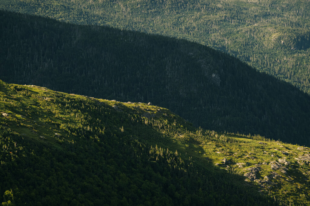
The first few miles were a nice warmup, a steady but mellow ascent. The last mile of that trail however is a legit rock scramble up steep talus. I just saw one solo hiker and a couple before hitting the Osgood Trail. Weather was perfect, a bit cooler and breezier than the hot weather we had been having, and above 4,000 feet it felt nice. I hit the ridge, up and over Madison and filled up water at the hut spigot.
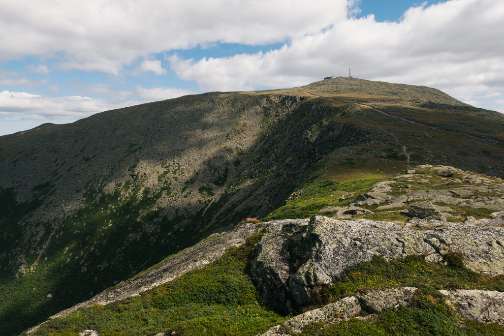
My legs felt good and I could see Moriah, the Carters and the Wildcats across the ridge. They looked so benign compared to the rock piles I was currently crossing. I’d find out soon enough. I hit Adams quickly, and then enjoyed getting baked in the sun without really realizing it, as the breeze made it cooler.
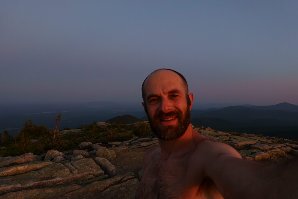
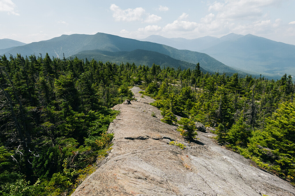
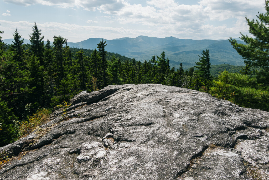
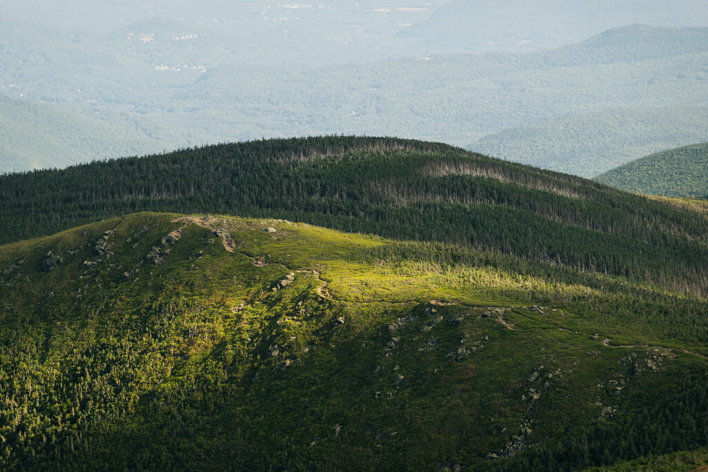
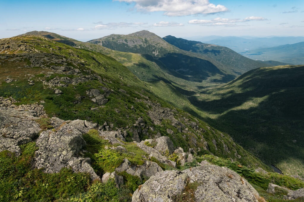
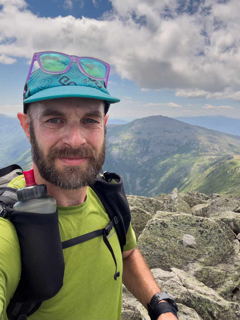
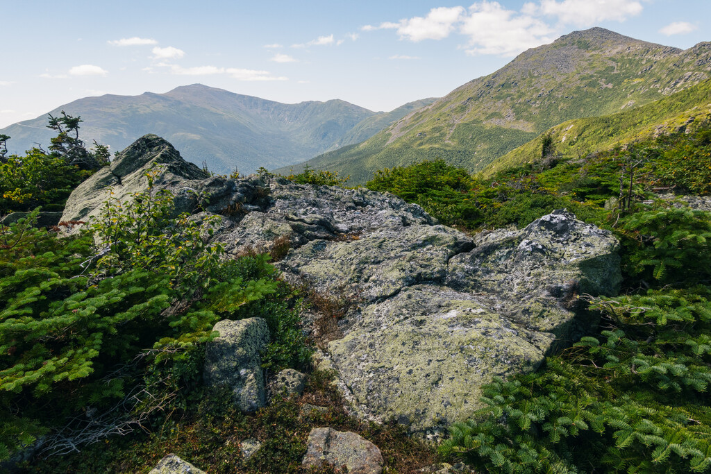
I was loving my Altra Olympus 275 shoes, and my Durstin pack, with frame removed was carrying comfortably. I was eating and drinking well. After popping over Jefferson and up to Clay, in line with my goal to hit all the peaks along the route, even if it required a wee bit more effort. I took my first pack off break at Clay, and took a few photos with my trusty Sony RX 100 VII camera (best travel camera ever made, now selling for more on ebay used than original cost) and headed up the Gulfside Trail, gaping at the massive walls heading down into the Great Gulf, and the range of rugged peaks I had just traversed.
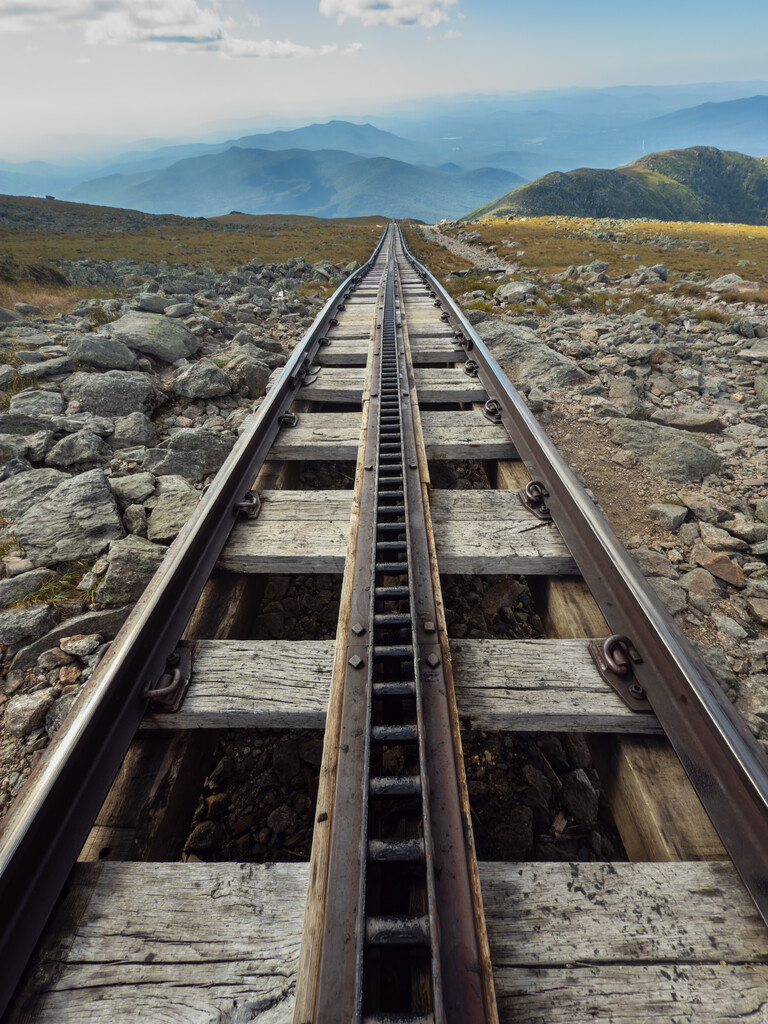
After a short wrong turn, I crossed the Cog Railway tracks. (Why the hell do they have to run three cars at once? They were mostly empty and seems like such a waste.) I hit the line to the summit sign, ran behind and tagged it with my pole and went to the spigot for water. As I turned I saw another guy who was also wearing a Run the White hat and realized I knew him.
Austin Black was in the middle of setting the new unsupported FKT on the White Mountains 100, the hardest 100 miles of the AT. He had a waist belt and a running pack and that was it. Damn, crusher.
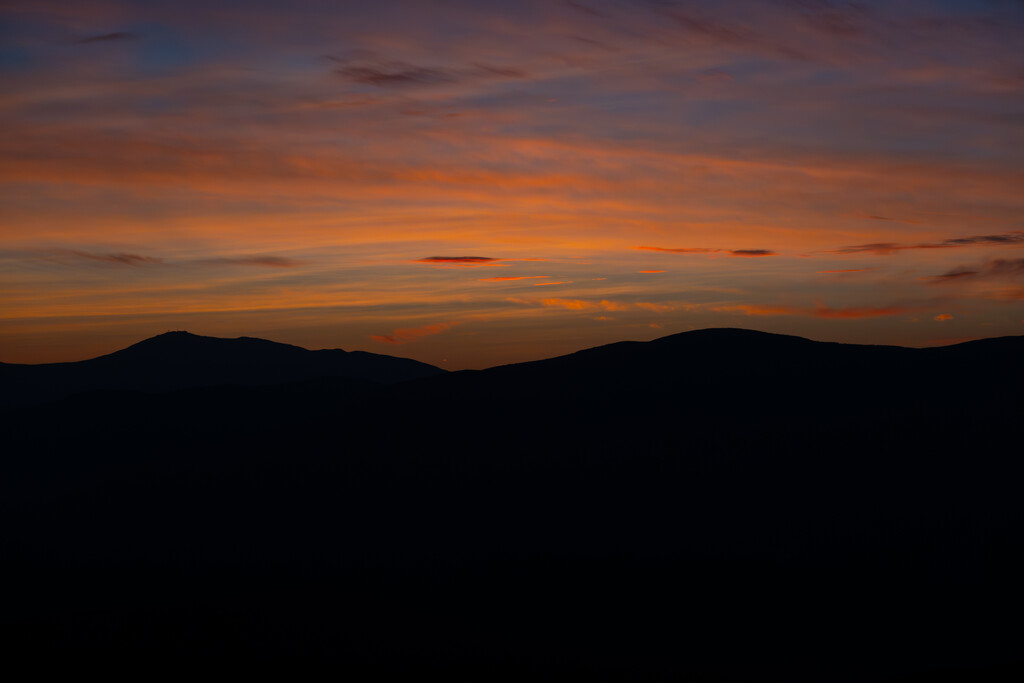
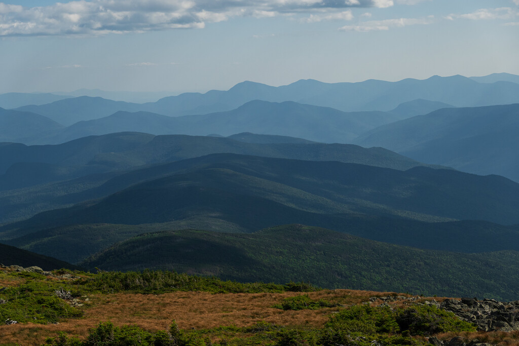
I headed down Tuckerman Ravine trail then along the ridge past Boot Spur on the Davis path and eventually down the Glen Boulder Trail. I’m embarrassed to say I have never been down that trail. Holy mother of yeti, it’s amazing. The sun was getting lower and the gold light hit the nearby ridges, the trees and rocks glowing, as the shadow of the Presidentials crept up the Wildcats across the valley.
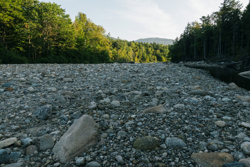
I found a small spring along the ridge, but was still cranking through water. The descent was steep but pretty short, then I crossed the Ellis River, which during the wrong time could be a formidable crossing, but at this time was just an easy rock hop.
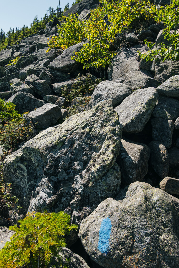
I filled up two liters, ate a bunch of sour and onion pringles, drank some sports drink, and headed up Wildcat Ridge. Then I got punched in the face. At least I knew it was coming. But seriously, that’s one of steepest sections of trail anywhere. I was glad I had decided to ascend, not descend that section. Luckily, what is steep is also short, and I had just barely hit my first goal, getting to the top of Wildcat D without a headlamp.
I was starting to struggle with food a bit by this point, and had probably sweat out 47 gallons of water. My backpack straps looked like they were margarita rims. Although the terrain necessitated focus, the cool weather energized me, as did a bit of caffeine and I moved quickly to the hut.
Pulling up to the outside spigot, a guy was filling up and rinsing some things and was a bit startled when he noticed me right behind him. I grabbed some water, as he thought I was a bit nuts heading right back on trail. I still had about 9 miles left, but most of my climbing was over.
I headed down the Wildcat River Trail, to the Wild River Trail. Although not steep or technical, these trails were overgrown and filled with debris and blowdowns. I crossed the river multiple times, but barely noticed. Water was scarce on this trip. Some of the driest conditions I’ve ever seen.
I was listening to some horror book, the Singing Bone, which was decent enough for me to listen, but not quite engaging enough for me to always be paying attention. I love listening to scary stuff, by myself at night deep in the woods. It adds a little extra spicy sauce to any adventure. And helps keep me awake.
I passed by two tent sites before arriving at my planned destination along the Black Angel Trail, Blue Brook tent site, just after 2 AM. A solid 1 or 2 hours after I had hoped.
I put down some plastic, and blew up my pad, put out an emergency bivy and quilt and laid down. I should have pounded some water and food. Instead I had one packet of tailwind recovery and tried in vain to sleep. Trying to sleep never works.
Day 2
Apparently it did work a little bit, because I did actually wake up. Maybe 2.5-3 hours. After packing up, getting water, heading into the woods for a morning constitutional, I finally got out of there about 5 hours after I arrived.
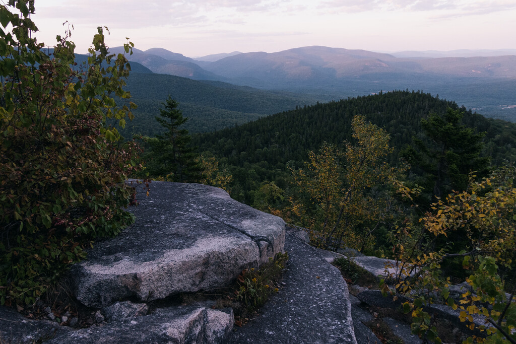
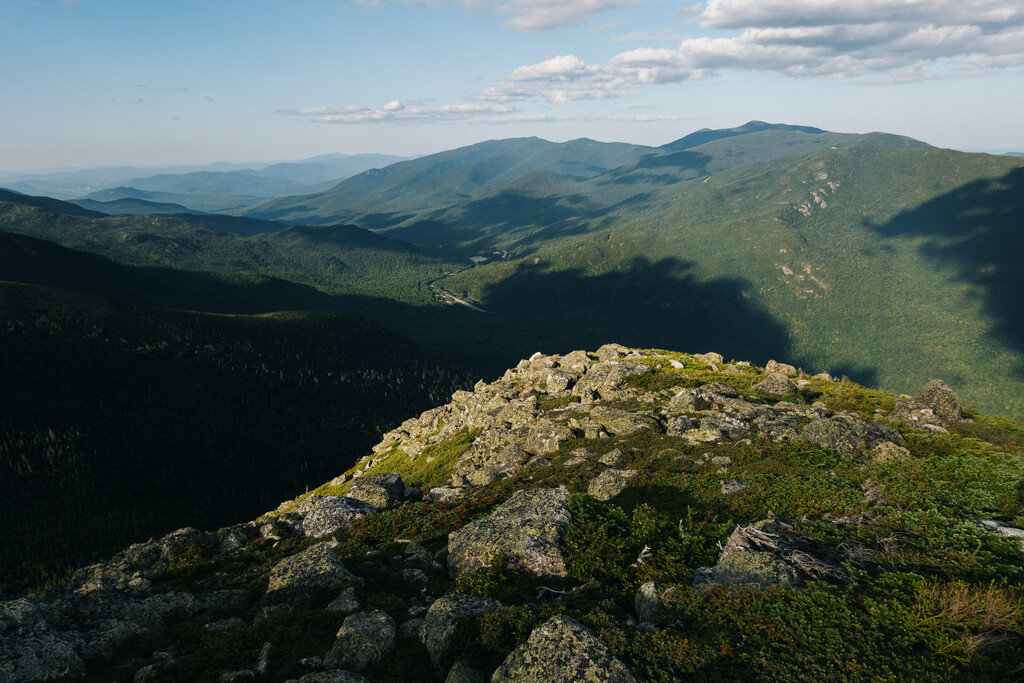
My legs were fine, and I warmed up as I moved, but I was immediately struggling. I hadn’t eaten or drank enough. I tried to force as much as I could and I ran into a local and we chatted on the far side of West Royce. Apparently I had reached Maine, because I got to the junction of East Royce, dropped my pack and made the quick but steep ascent to East Royce. Glad I had decided to include that peak. The views across Evans Notch to Speckled Mountain and Blueberry Mountain and south to the cliffs of South Baldface were spectacular, but a bit intimidating. I had a lot of ground to cover.
I passed a very small pool and a trickle of water about a quarter mile before ME 113 but decided to head down to the cold river. There was no river. Just rocks. I was basically out of water and didn’t imagine I’d find any for a while, so I grudgingly headed back up trail to fill up.
The temperature had risen quite bit, there wasn’t much of a breeze, and my feet were really starting to rub raw in the heat. I decided to take off my socks, soak them and apply leukotape to all of my hot spots, of which there were many.
I was beginning to overheat as I headed up along the Spruce Peak Trail to the Bickford Brook Trail to the junction with the Blueberry Ridge Trail. I met some volunteers and we stopped to chat. They were counting people between the Wilderness Boundary and Speckled Mountain and had a beautiful dog. I dropped my pack and did a quick out and back to Speckled Mountain. The views were so different from anything else in the Whites and I was unfamiliar with the terrain. Cement posts told of a tower there at some point most likely, but it was just open rock with trees scattered about. Hot as hell though.
Heading down Blueberry Ridge is where my hike started to really go off the rails. The open slabs covered in red blueberry bushes, dripping with ripe fruit below views of the entire Baldface-Meader Ridge should have been pure gold. But I was overheating badly. There wasn’t a cloud in the sky, it felt like 100 degrees, and i\I was running out of water. My stomach had completely shunted all blood to pumping out my heat, and nothing would go down.
I got to the cliffs which were dramatic and finally had a breeze, but I needed to get to the Cold River and headed down. The terrain was totally exposed to the sun, and the footing was unconsolidated dirt and pebbles. It seemingly never ended but I finally made it down to the dirt Shell Pond Road. I tried to book it and turned left onto the beautiful Leach Link that follows the east side the Cold River, which this far down the valley actually had water. Wow, a river with some water. Go figure.
I got to the dam behind the Cold River Camp, and sat by the river in the shade for a very long time. I soaked my feet, tried to drink as much as possible and continually splashed cold water on myself. There were families from the camp romping in the water, and I just watched in a non-creepy way with my shirt off eating beef jerky in a slightly dissociated state slapping my toe socks on the rocks to remove the pine needles. Nope, not weird at all.
It was getting a bit late, and I wanted to get to the top of South Baldface for sunset. I headed up the Baldface Circle Trail, totally drained but still making good progress up to the shelter. It’s a tale of two trails, because just past the shelter, it becomes a series of 2-3 foot cascading sloped slabs of granite, often requiring use of both hands. The ground is never flat and it exacerbated my foot pain. I loved it in a very type 2 sort of way. My heart beat out of my chest, but I was enjoying terrain unlike anything else on the trip.
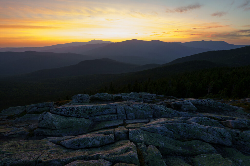
Soon enough the terrain got easier as I traversed the open rocks to the summit. I was hot and took my shirt off to cool down while enjoying the amazing sunset colors.
Then the slog began. The first few miles on the Baldface Circle Trail was nice, but by the time pure darkness hit and I was on the Meader Ridge, I was struggling mightily.
The wasn’t too much vert, but the trail was a difficult mess of side-hilling, loose dirt and a labyrinth of roots. When I finally hit the junction with the Basin Trail, I was ready to be done. I headed downhill, hopping over the innumerable blowdowns before confirming that indeed, I had taken a wrong turn and had headed down the Black Angel Trail instead of the Basin Trail. Damnit! Back up and then down the correct trail.
I hit the old Wild River Campground at 1 AM. I stopped at my first shelter and laid down, pounded another recovery drink and got to sleep fairly quickly.
Day 3
I got up around 5:30 after four decent hours of sleep. Apparently I brought three winter hats and two puffy jackets, but had forgotten to bring an extra pair of shorts or underwear for sleeping/swimming. Need to brush up on some packing skills, lol. Sleeping in a foil bivy with a quilt and nothing dry to wear was a bit unpleasant. Note for the future.
Starting the day in the abandoned campground was weird. Hard to believe they just let it go after the road became inaccessible. When I was working on my revision to my 4,000 footers hiking guidebook earlier in the summer, I had called the ranger station about the condition of the Wild River Road and Sawyer River Road and the ranger didn’t hold back about how pissed he was with DOGE and that they had gotten rid of the people that do this work. Such a shame, and I hope it reopens at some point. The Wild River Wilderness is a truly special place, and I’m worried without visitors, it’s going to just get more and more overgrown.
Case in point. I hiked down the road to the river crossing. I knew I had to cross numerous rivers during the adventure, but the Wild River down low is where I was most concerned. When I got to the Shelburne Trailhead I headed to the Wild River. A steep slope took me down to the raging torrent, and I contemplated the value of my life.
Just kidding. The river was a trickle. Never dipped a toe. The riverbed is about 100 feet wide there. In the current conditions, I knew water was unlikely and I had to plan for the possibility that I needed to carry all my water from the Wild River to Carter Notch on my back. It was the hottest day and I was totally spent and unable to eat much of anything. I filled up three 16oz soft flasks, a 1300ml bottle and 1L bottle. Basically a gallon. 8 extra pounds. I drank a full liter at the river and headed west.
There was also no trail or trail marking. I crossed to the other side and found some moose prints, but no sign of anything of human creation. I opened up Gaia on my phone. Thank God I had downloaded the route and map, because otherwise I’d still be out there today.
I just held my phone and followed the line, climbing in and over and around large blowdowns, with no trail in sight. Luckily, I eventually did hit the trail and began the slog. I was purely in fat-burning mode, only able to get down about 10-25g of carbs on average per hour. I had run out of sports drink mix (Gnarly, EFS and Tailwind) and was conserving water. I could maintain a consistent slow pace but my HR would rocket during big step ups or if spaced out and naturally started going my normal pace.
I was listening to a book called Mickey 7. A humorous sci-fi in the same vein as Andy Weir, one of my favorite authors of all time. It was great and kept me distracted from my pain. When I hit the ridge near Shelburne Mountain on the Kenduskeag Trail, I strolled over open terrain with berry bushes and and rolling rock humps.
Just before reaching Moriah, I got stung by a wasp which was surprisingly painful and is still inflamed a week later. It was huge and got me through my sock! I found a small puddle and drank 16oz through my filter. Not great water but fine. An older thru-hiker stopped and talked. Her name was Jimandi (pronounced Gemini, I think it was Jim and I combined) and she was carrying her husband Jim’s ashes. She was moving slow and had started in Virginia and was going to flip flop after reaching Katahdin. She said she wanted to do the 4,000 footers and was going to move to Vermont to be near her son. So cool!
I dropped pack at the short out and back to the summit of Mt. Moriah, where about a dozen folks were hanging out. I love the ridge down Moriah, and now that it was midday on a weekend on the AT along a ridge of 4,000 footers, I started to see quite a lot of people.
I got to the steep section on the north side of North Carter, and just sat down. Straight up. I haven’t hiked a lot of the trails in the Whites, but along the AT there are some known sections of totally brutal rock scrambling, often gaining 400-500 feet in a span of a quarter mile. Wildcat Ridge. Garfield Ridge. South Kinsman. North Carter.
I drank some of my Margarita Mortal Hydration (salt), ate some beef jerky and pringles, sucked on a sour gummy and grunted my way up the thing. By the time I got to the top of Middle Carter, clouds had come in and it had started to sprinkle a bit. I was actually cool for the first time in days and that pepped me up. I usually take caffeine when I get tired, but hadn’t since day 1 as my stomach was so on edge.
I made my way over to Zeta Pass after talking with a few folks along the way, and on my way up Mt. Hight, with rain whipping by on the gusty winds, I crossed paths with Mark Trehan, who was on mile 80-something in his White Mountains 100 effort. He was fired up and brought some much needed energy.
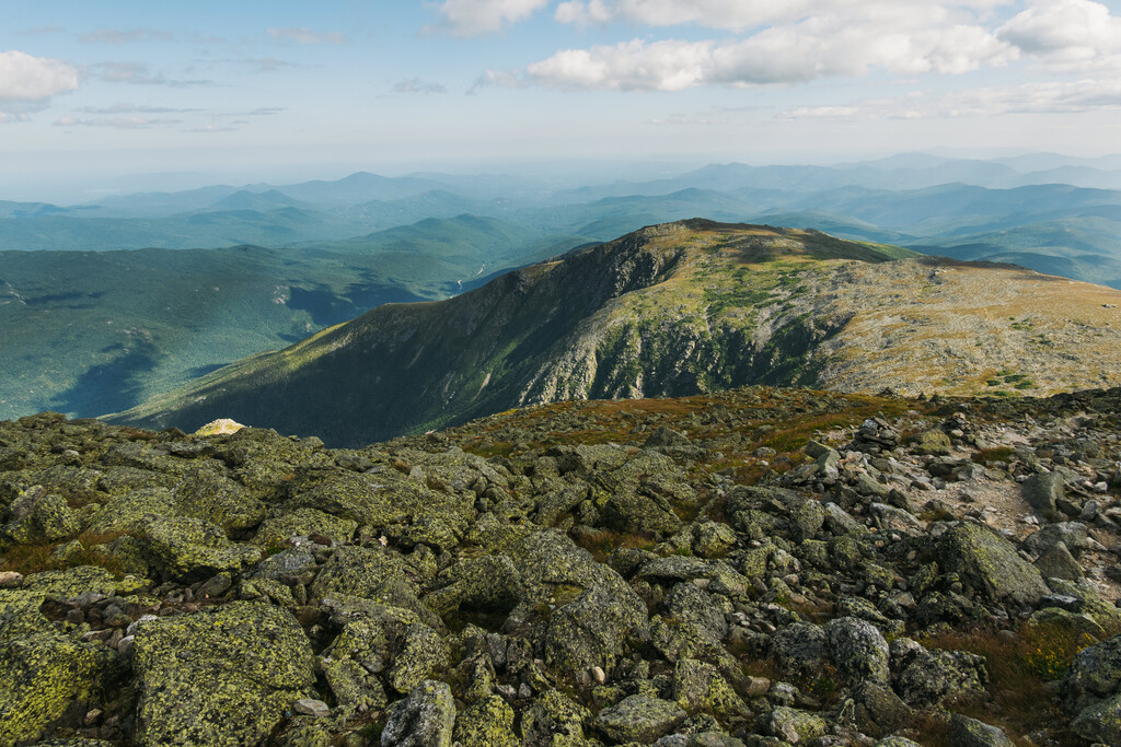
Hight was unpleasant and I put my head down and made the last little climb of the trip up to Carter Dome. I had been dreading the descent down Carter Dome, but really just the last half mile was the worst.
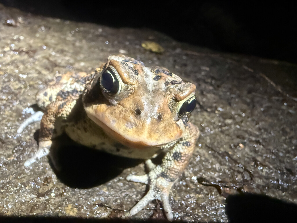
I grabbed water at Carter Notch and headed down 19 Mile Brook Trail, putting my headlamp on halfway in an effort to not step of the many frogs of varying sizes along the way. I hadn’t been on it in a while. It’s pretty rugged due to the amount of erosion, and wasn’t as easy as I had hoped. Finally, I hit NH 16, walked north for about .75 miles then crossed the suspension bridge on the Great Gulf Trail and took Gulf Link back to my car, finishing in 58 hours and 51 minutes.
I had neglected to bring a charger for my watch, and had a few settings off, and took longer than I had expected, so only had my watch for 2 of the three days but I had Gaia recording non-stop the whole trip. That’s all to say I don’t know what the actual mileage was but according to Strava I did 82 miles and 27,000 feet of climbing.
Conclusion
Although I was slow and things didn’t go quite according to plan, I’m in love with the route. And I got from the adventure what I needed. Some good training on very technical terrain and a solid shakeout of my kit, my fueling and and my (in)efficiencies in camp and along the trail. I think in perfect whether with a minimal kit, sub-40 hours is doable for me and I think 30 hours could be possible for a true elite.
I hit new-to-me trails, ran across many interesting people, and climbed ten 4,000 footers along with many other peaks in NH and Maine. I dealt with foot issues, nutrition issues and hydration issues but kept on moving forward. I went long periods lost in thought or zoning out and I listened to two books and a little bit of music. Most importantly, I had an idea, and even if it took me a few years to get it done, I’m glad this route is finally an official thing.
Now go do it yourself. The Eastern White Mountains Triple Infinity Loop.