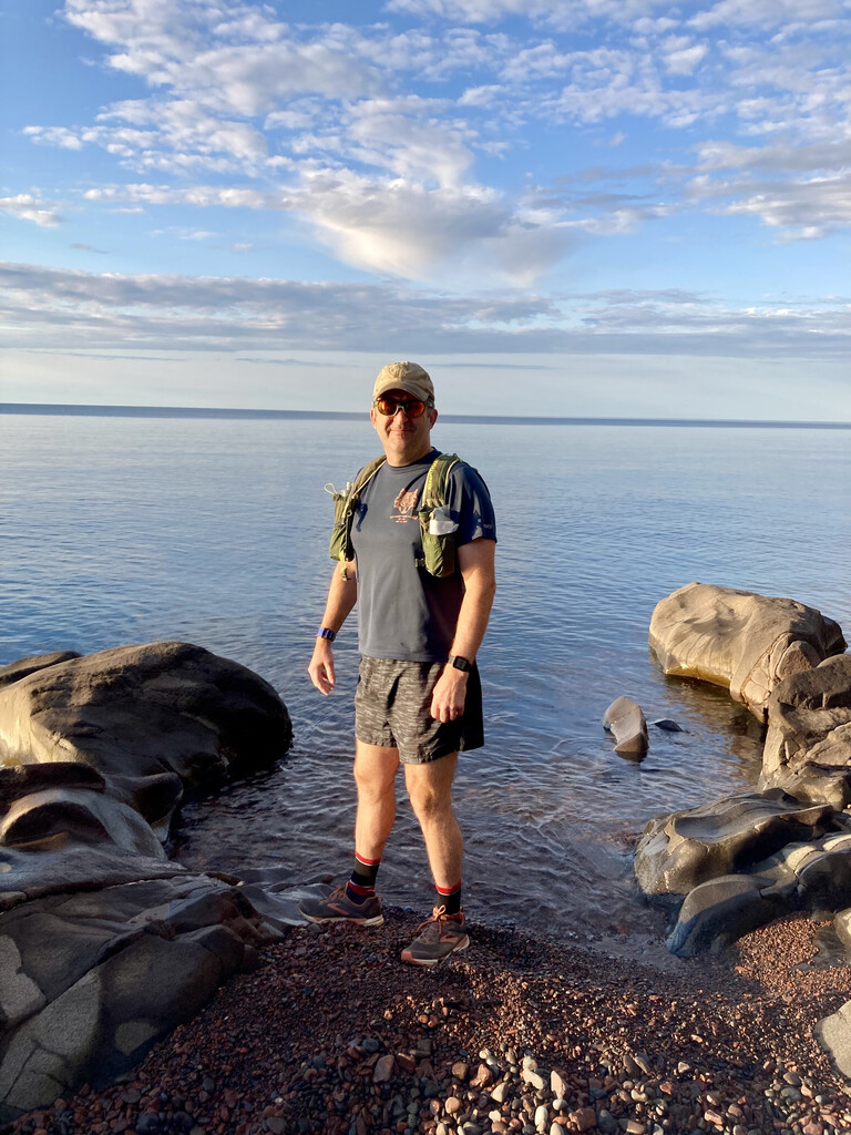
On September 12, 2021, I ran from the Minnesota low point (Lake Superior) to the Minnesota high point (Eagle Mountain) and back for a total of 36.8 miles in 9:54:50. My 54th birthday was in June and I wanted to find a run that was at least 54k (33.5 miles) to celebrate. I came as close as I could to “as the crow flies” for this route. Started with a Nathan vest carrying about 2.5 liters of water (reservoir plus small bottle) and five gels.
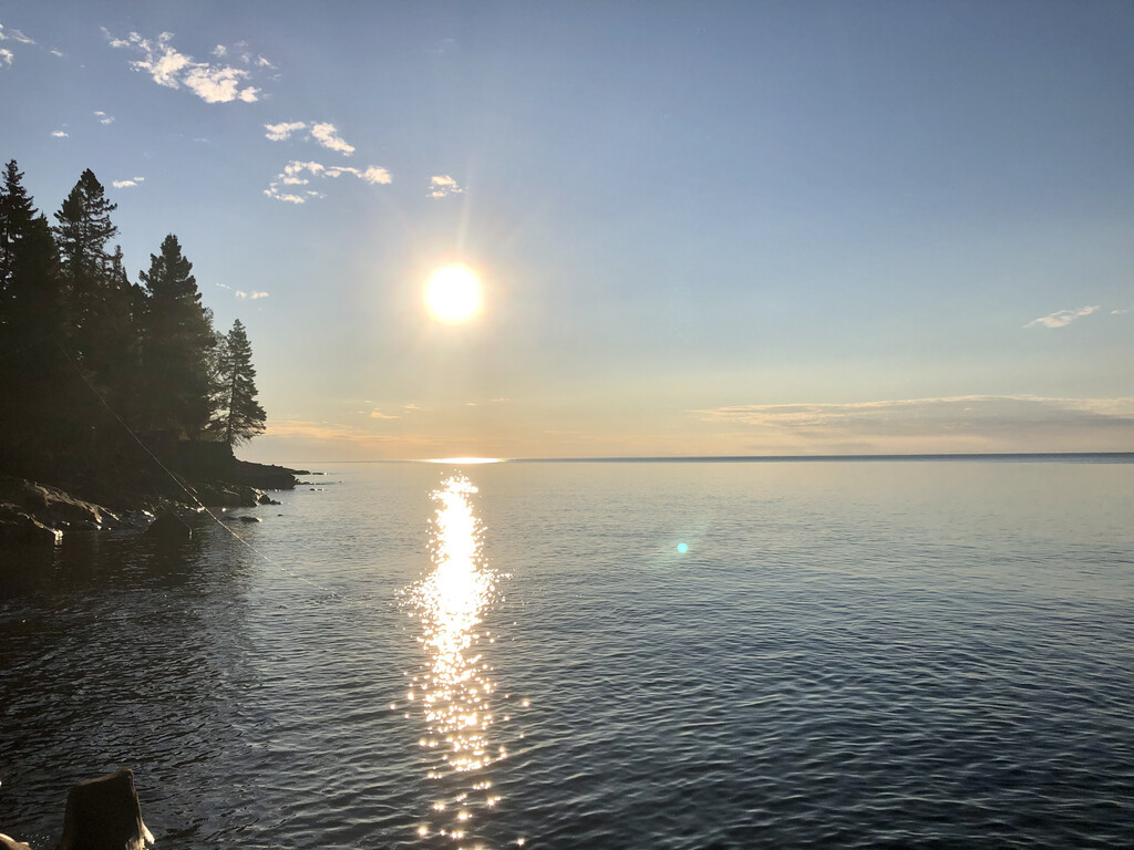
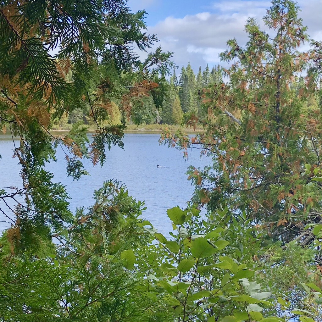
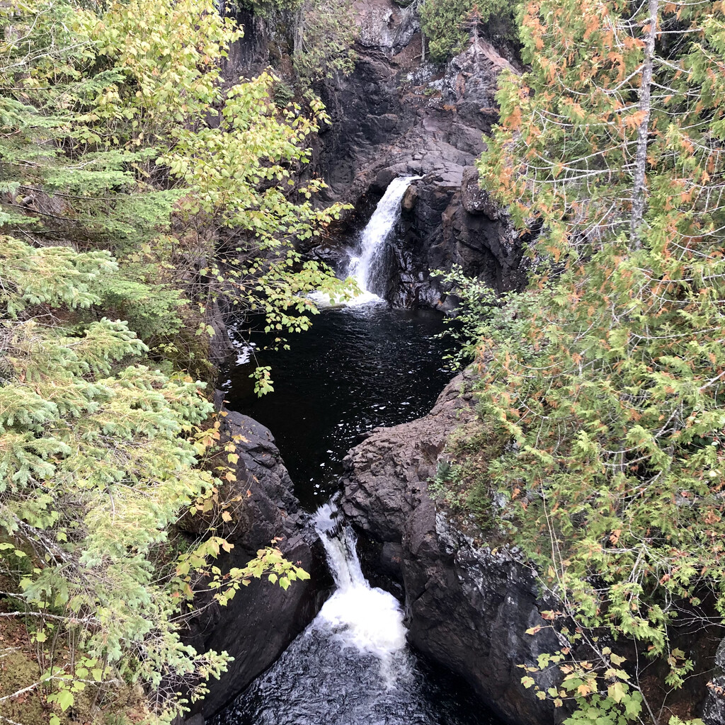
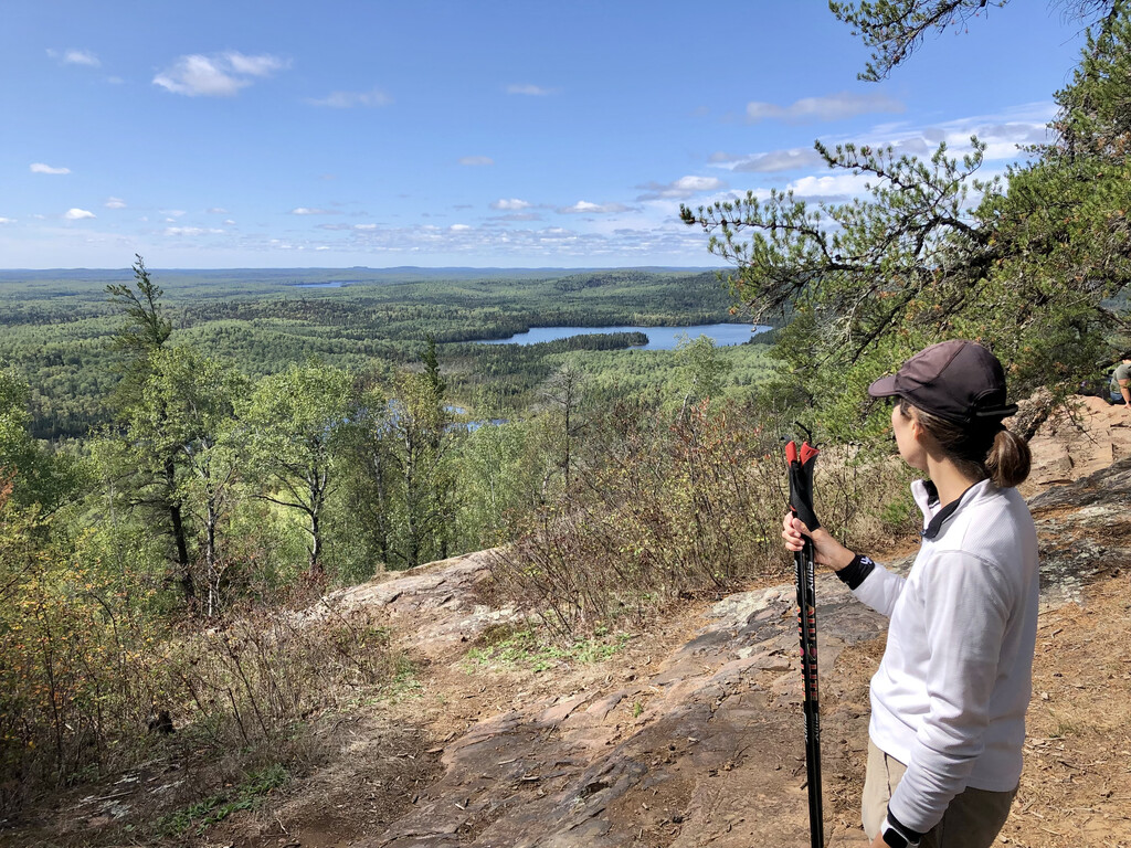
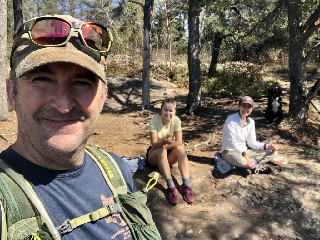
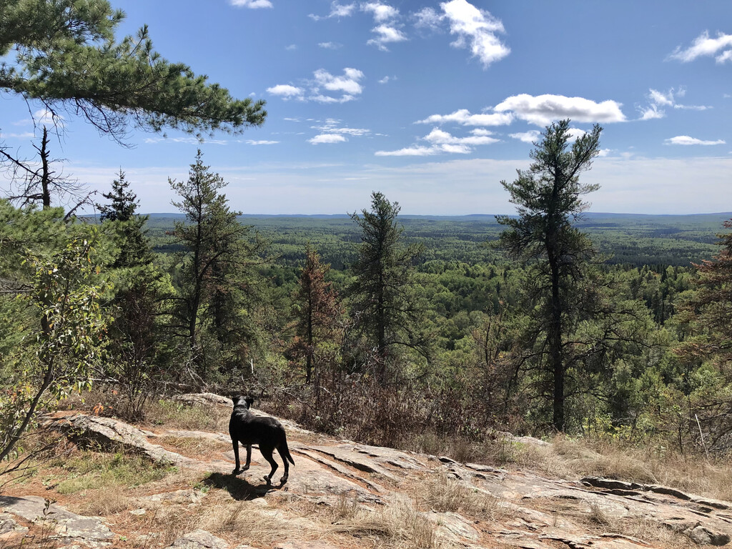
I started at the shore of Lake Superior on the west side of the mouth of the Cascade River at 7:41 AM. From there, climbed the stone steps at the old CCC overlook and crossed HWY 61 into Cascade River State Park. Hiked footpath to The Cascades. Took the ski trail (not the Superior Hiking Trail) NW from that point until it becomes the Pioneer Trail ski trail. When the Pioneer Trail cuts 90-right near Forest Road 159, I cut 30 yards west across a small opening to get on that road (the last northbound piece of ski trail was too brushy; learned on a scouting run earlier in the summer). Then all dirt roads: FR159 to Pike Lake Road (Co Rd 45) to North Pike Lake Road (Co Rd 43) to Cascade River Road (Co Rd 157) to Bally Creek Road (Co Rd 158) to the Eagle Mountain Trailhead on the north side of The Grade (Co Rd 153). My wife (who dropped me off at the start) met me at the trailhead with my daughter and my dog. They gave me some trekking poles, we filed our BWCA day pass at the trailhead, and started up the Eagle Mountain Trail. We hiked the round-trip from the trailhead to the summit. Very rocky and lots of tree roots. Not sure I could’ve done much running anyway. Saw a loon in Whale Lake on the way up.
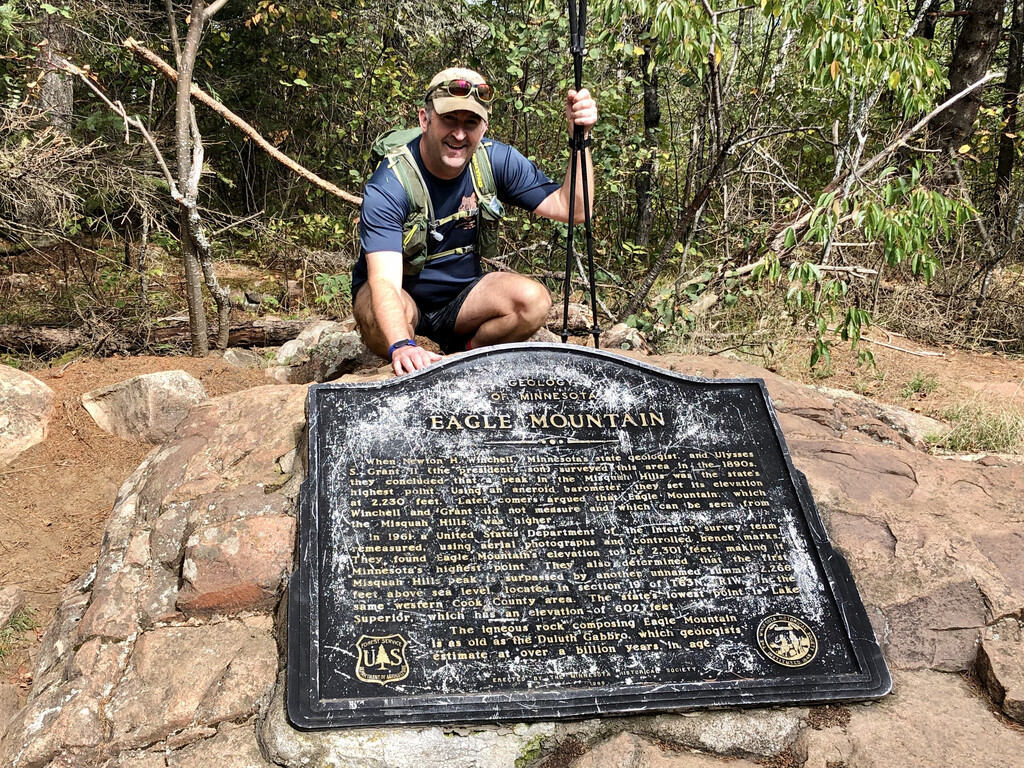
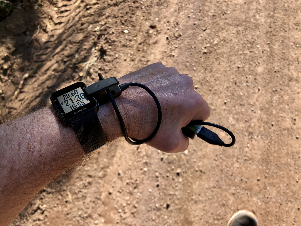
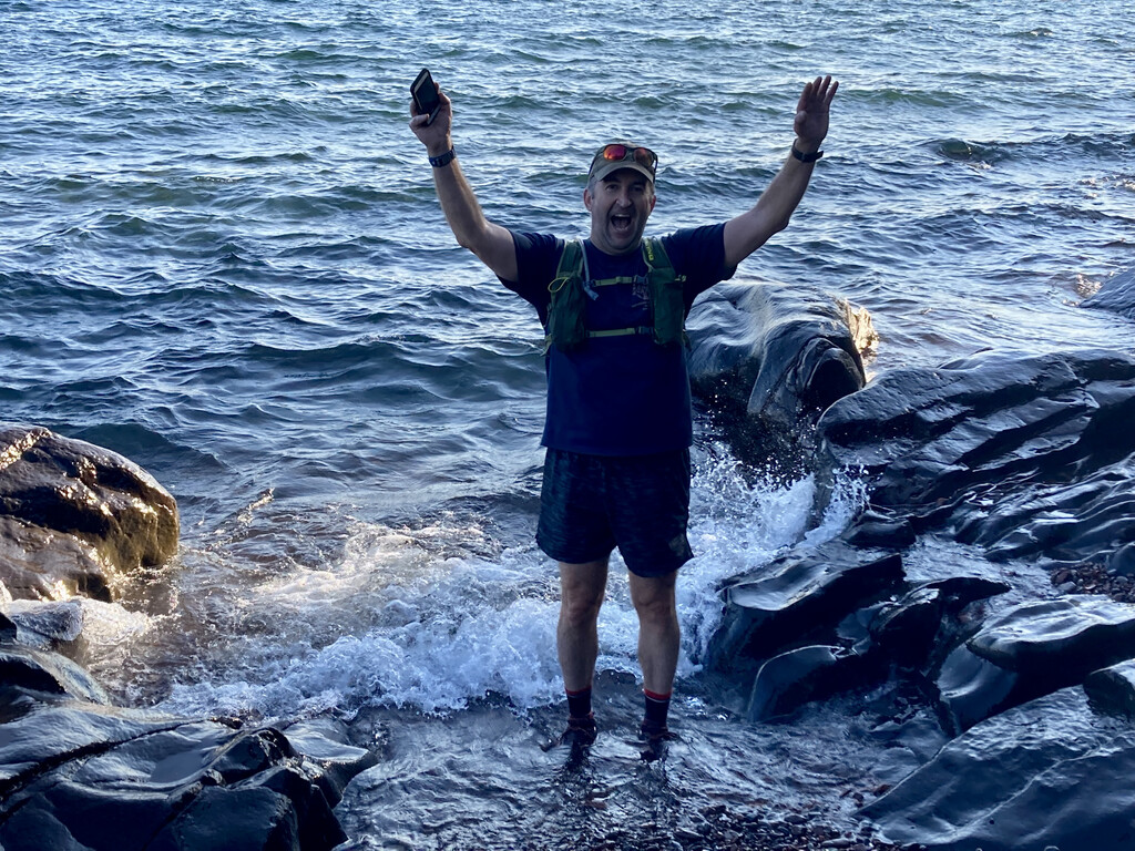
We got to the summit plaque (4:35:55 and 18.3 miles for me) and lingered for about 20 minutes at the ledges to the south. We ate some sandwiches and granola bars my wife brought along while we took in the beautiful views to the southwest. When we got back to the trailhead, we spent about 22 minutes dropping off my trekking poles, refilling my running vest reservoir with water, packing new gels, and charging my phone/Garmin watch batteries. I removed my watch for several of those minutes to charge it at my truck while I used the pit toilet (12 minute heart rate gap). That wasn’t enough charging, but thankfully I brought a small portable battery to recharge my watch and phone while running the reverse route back to Lake Superior. Phone for pictures and Avenza map app (to supplement the paper maps I brought, just in case). No cell service away from Lake Superior. It was a beautiful sunny day, not too hot. No bugs. It was wonderful to put my feet back in the lake just under ten hours after I started. My crew met me at the lakeshore to celebrate the finish. Couldn’t have done this version of this trip without my family’s help. It was great to share the Eagle Mountain part of it with them. Grateful to run/hike farther in one day than I ever have before.
I spent about 8 minutes and 0.1 miles in the Eagle Mountain TH parking lot on the way up. Garmin showed 18.3 miles to summit, so I think the true distance would be 18.2. I’m fairly certain this would be the shortest distance possible from Lake Superior to Eagle Mountain. True Up-Down distance for my specific route probably 36.4 miles, but I tacked on an extra .4 miles while stationary at the summit and two TH stops to make my 36.8 mile total.