Location
Minnesota,
US
Distance
21 mi
Vertical Gain
2,200 ft
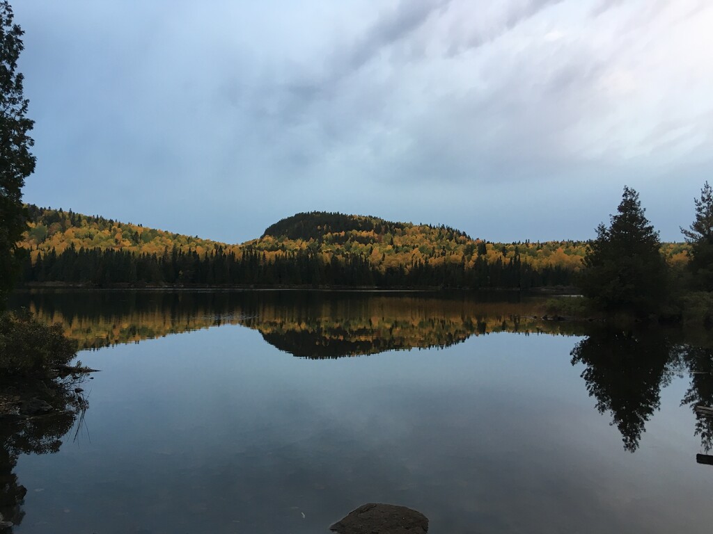
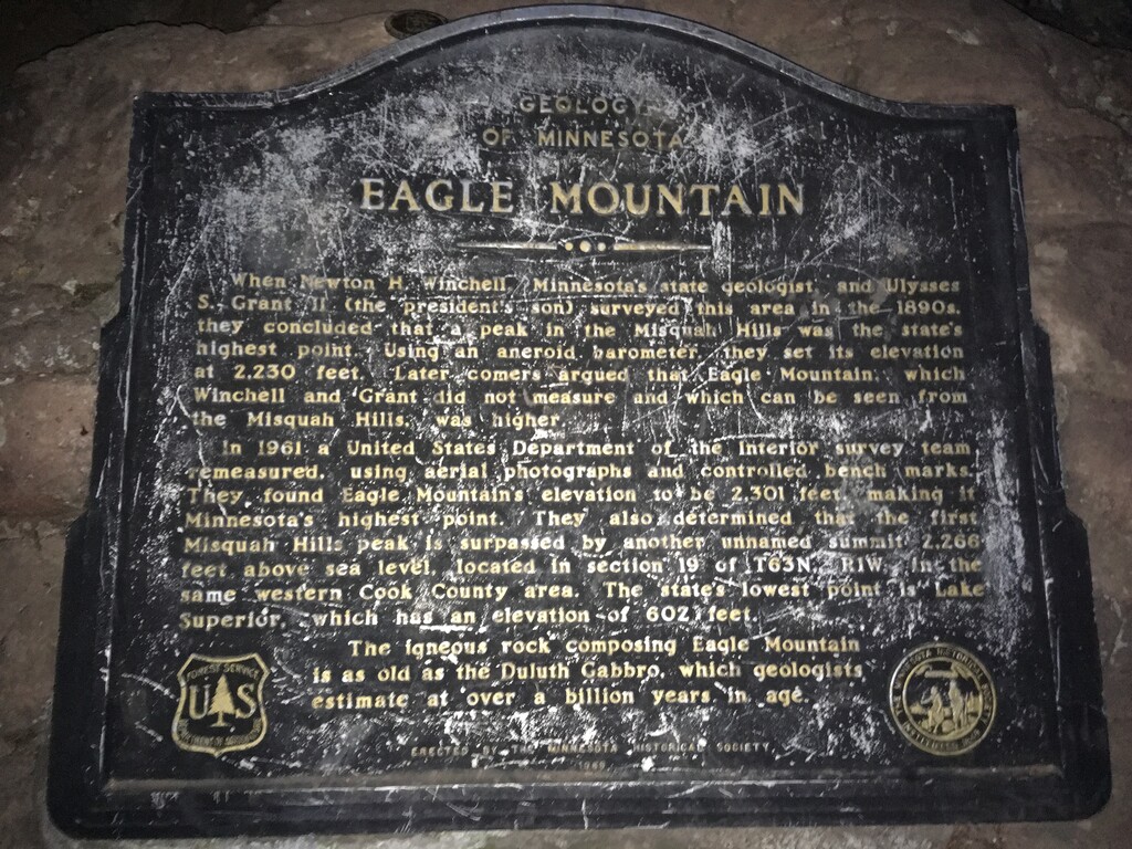
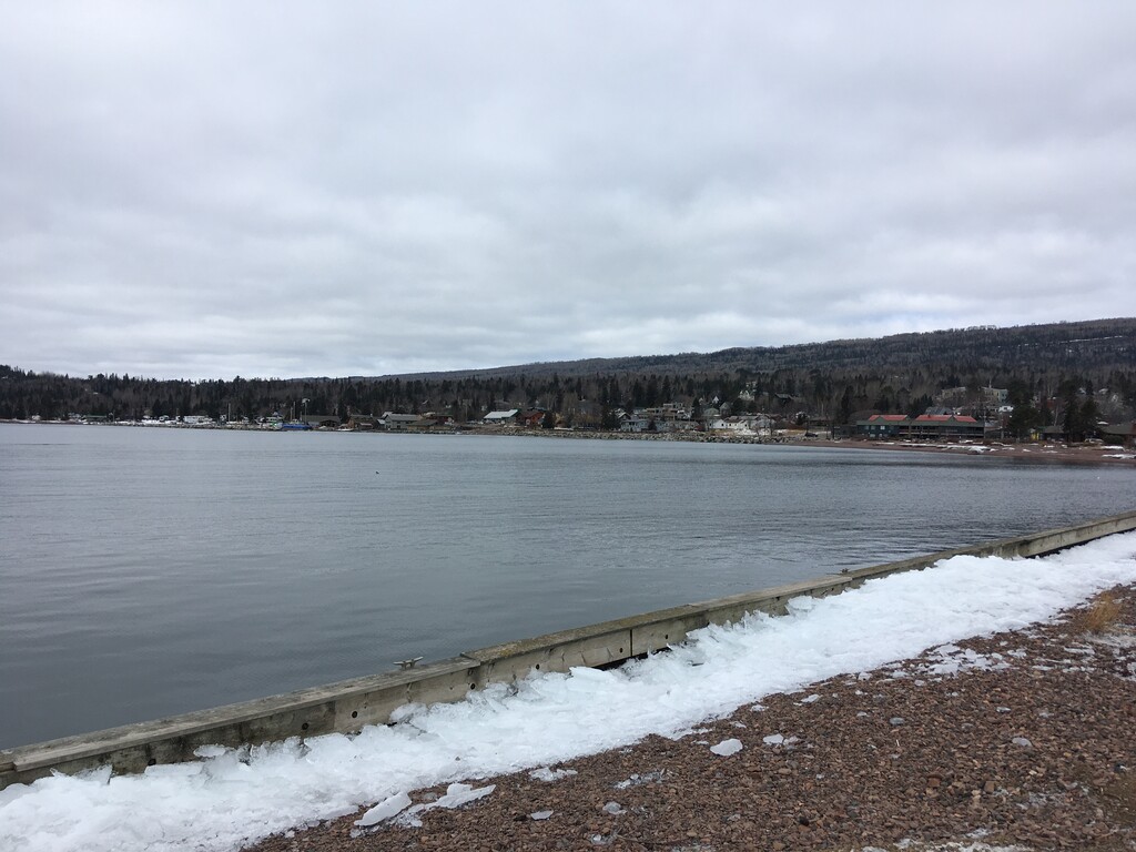
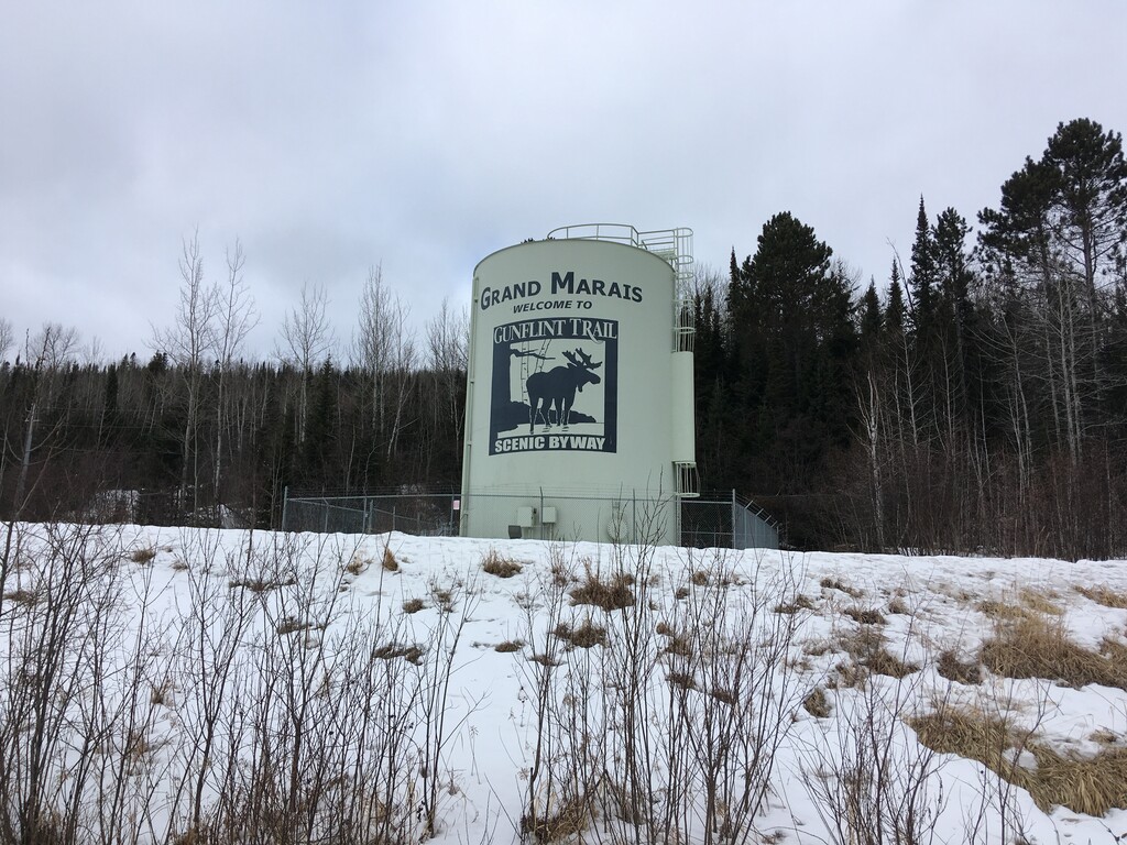
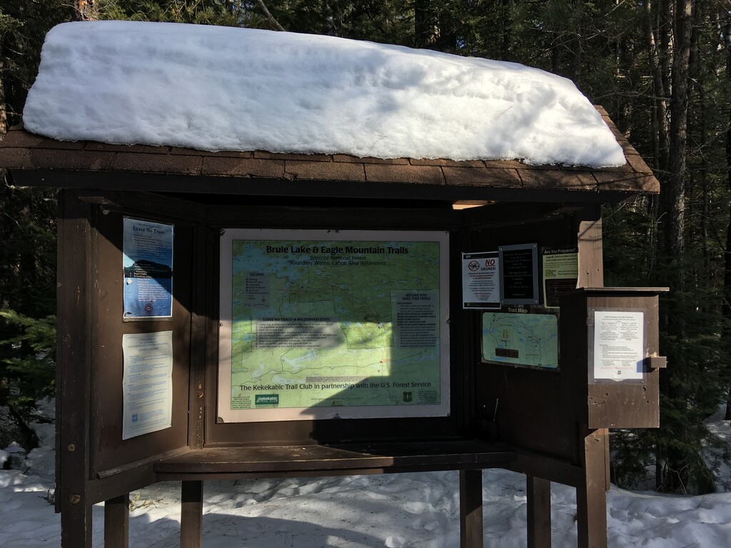
Description
GPS Track
MN Lowest to Highest.gpx1.8 MB
FKTs
Male
Female
| Tim Kojetin | 2h 18m 18s | ||||
| Matthew Matta | 4h 18m 6s |
| Laura Matacia | 3h 8m 0s |
| Lisa Byrne | 5h 26m 6s |
Male
| Eric Nelson | 7h 16m 28s |
| Eric Chandler | 9h 54m 50s |
Images

Comments
On July 4th, 2024, I will be attempting the Minnesota Lowest to Highest FKT open course, out and back. I will be starting sometime around 4am-6am and will be navigating, or try to, the same route Eric Chandler forged on 9-12-21. Will see how this goes with recent storms. FKT or bust…
I failed to added that this will be an Unsupported attempt.
Uff da, finished unsupported, 7h16m28s!
I've done this. There's never been a set route for this. That said, this isn't the typical route that most people take. Most people take County Road 7 from Grand Marais to Bally Creek Road to get to the Eagle Mountain trailhead. Although there's no "official" starting point, the start has been the boat ramp near the USCG building and not the downtown beach.