This is Erik Harmuth, I just completed the Juniper Mesa Loop outside of Seligman AZ in the time 6h 2m 49s according to Gaia on Aug 27th 2024. The mileage says 23.61 miles -gaia. InReach says 24.15miles and Strava says 23.97miles.
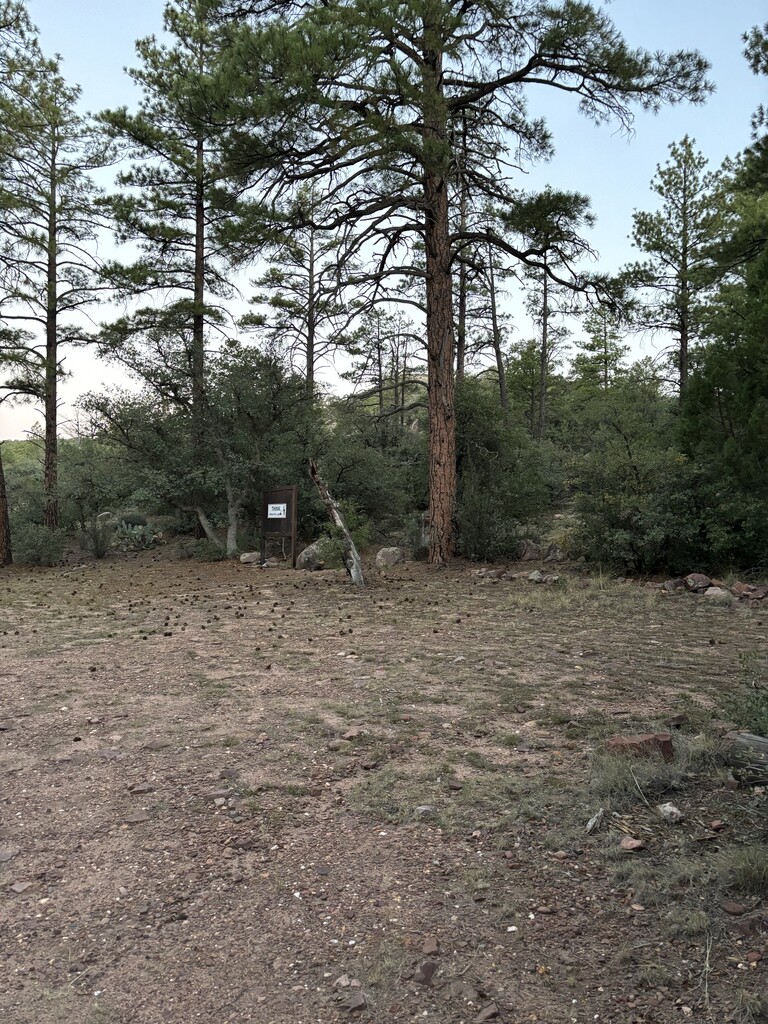
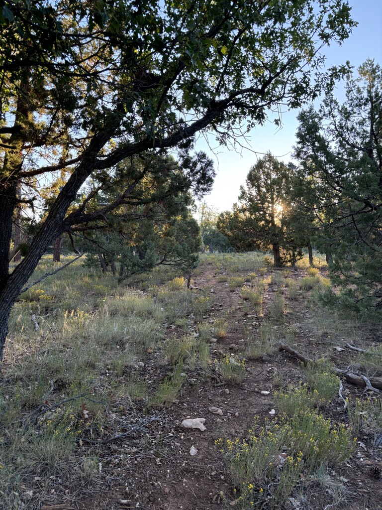
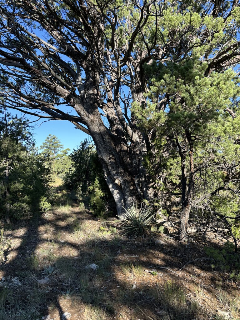
This trail is definitely a wilderness experience with a lot of personality. The trail starts out very rugged and rocky. You also learn right away there is not always a trail and you have to follow cairns. After about a mile or so a trail appears and takes you through a pleasant forested trail. The climb to the top of the Mesa was short lived and the Mesa top is wonderfully flat. The trail is faint is overgrown but visible. The dirt is just the right softness, it’s very nice to run on.
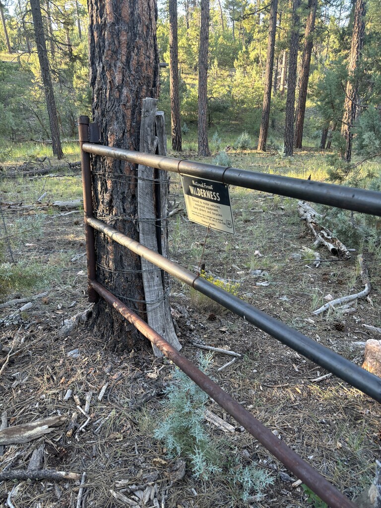
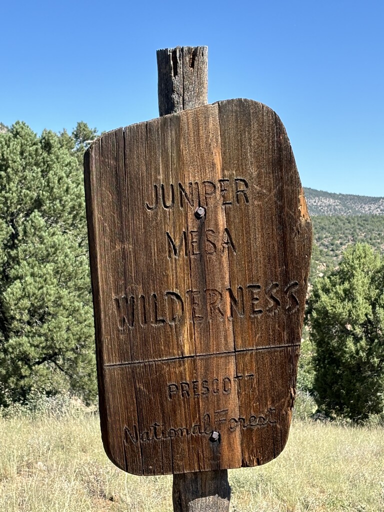
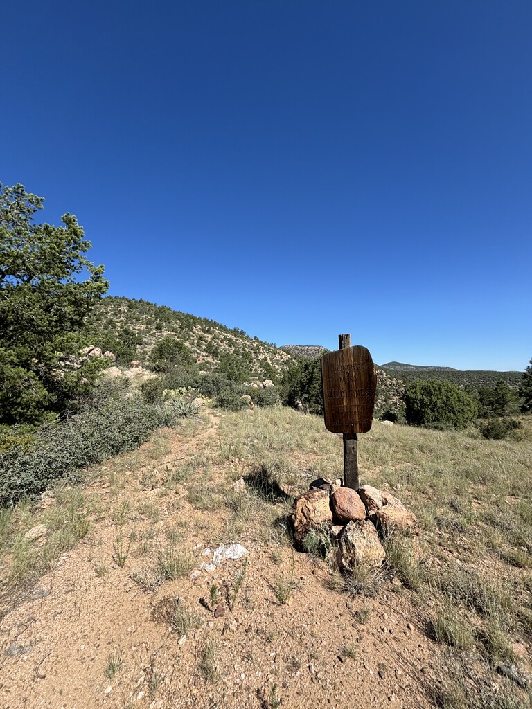
The happy trail side extension of the route makes this route a real navigational challenge. There is no trail! It’s just rock cairns. If you miss a rock cairn you just out there lost with the phone in your hand trying to get on track. The posted track is just a guideline for where the trail is. My track, that’s attached is a much more accurate but not perfect. The sign at the wilderness edge is on the gate to the wilderness. Even on the way back it was difficult to follow the cairns in some spots. I thought this section was going to be easy and fast. On paper I didn’t know why this side extension was there but it really adds to the experience a lot!! This route wouldn’t be the same without happy trails, making it feel very wild.
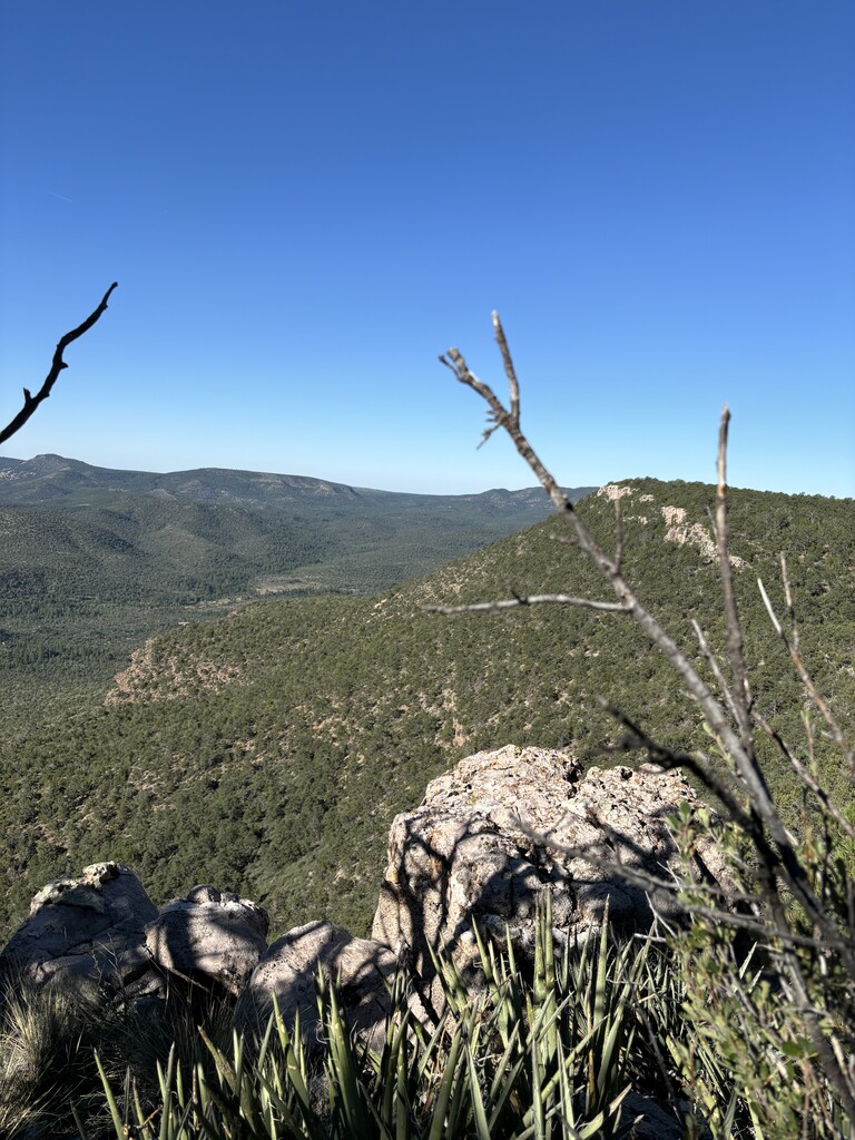
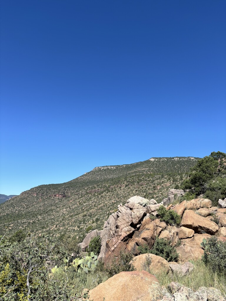
Continuing atop the Mesa after happy trail, is an actual trail for a few miles, some flat, some rugged sections. At some point the trail started to just stop, and forced me to bushwack for small sections, then a cairn would appear. The first time I thought I just lost the trail but it happened more and more. Then the trail would start back up. I personally felt that staying on the mesas edge was where the route should go, and the trail or lack of them pretty much stayed on the mesas edge. One occasion I got off trail to bushwhack to stay on the mesas edge, still found the trail later on.
The descent and trails are straight forward.
Once I was back on Walnut Creek road for the 7 mile run back to the truck, I had .75liters of water left but it was hot. Walnut Creek Rd is a bit more rolling than you want it to be. I rationed what I had to the end. I really wished I had brought a .5L more of water. Those last 7 miles were slow and I was thirsty the whole time wishing I could take bigger swigs of water. Also to note along the road, one of the farmers dog came to greet me but it was super friendly and just wanted to run with me. The dog eventually turned around.
I saw a lot of cows on the trail, 2 deer, 1 wild pig!, 1 garter snake.
No water anywhere on the trail. I brought 3liters total in the Salomon vest.
Thanx Killian Lord for submitting this route, it kept me on my toes the entire time. Cheers.
I hope others will attempt this rugged trail.
Erik Harmuth
IG:_oso__negro_ Two under scored in the middle