Because the official FKT route is built intentionally to skip the Amsterdam ferry, it is possible to do this route unsupported. So I decided to do the challenge in unsupported style and did not get any support apart from public drink water points and public toilets. There are plenty of public water points along the route or with a small detour, but nothing between Enkhuizen and Almere, a 60 km stretch! Lelystad has a water point at the train station, but that is is a big (6 km) detour. Bataviastad, which borders the route, is not public but commercial, so self-supported style even when free, and has limited opening times.
So I decided to bring my fastpacking bagpack and carried 4,5 liters of water across the Houtribdijk. Total weight was then 8,5 kilos including food and night/emergency gear, a heavy backpack, but I wanted to be on the safe side as I did not have emergency backup support during the night.
My gpx/fit file shows some detours because of pedestrian closed roads during dyke renovations (Kinselmeer and Zeevang, +3 km), some for the water points (+3 km) and some locations where I felt an alternative route avoided road traffic better (no significant additional or less kms). The route is not official/signposted for hikers or runners, I assume small individual differences can be accepted for this FKT as long as the total remains well over 100 miles. A gps glitch around de Hoge Vaart accounts for the last km difference of my gpx vs the original route.
For pacing I alternated 10' run with 5' walk right from the start, also because it was my first attempt at a 100 miler and I wasn't sure what to expect (I got more than I bargained for...). During part if the night and early morning, weather and typical ultramarathon issues forced me to walk everything, but I picked up running again later in the morning.
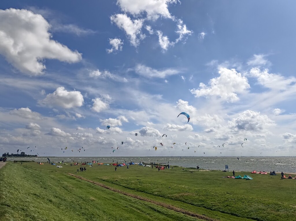
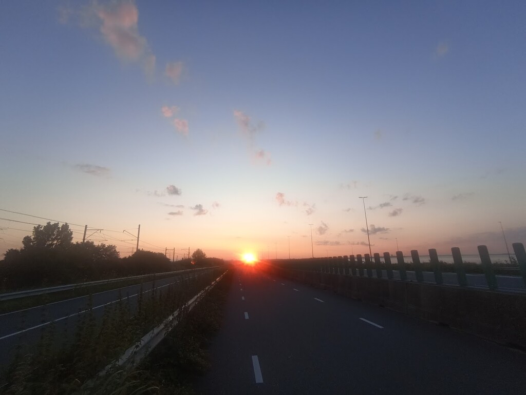
If you want to attempt this FKT, please be aware that the route is almost everywhere exposed to the elements (wind, sun, rain, thunder) with little shelter.. Some roads are shared with fast cars and motorcycles and are best taken during daylight. Plan and time your run carefully, based on your expected pace.
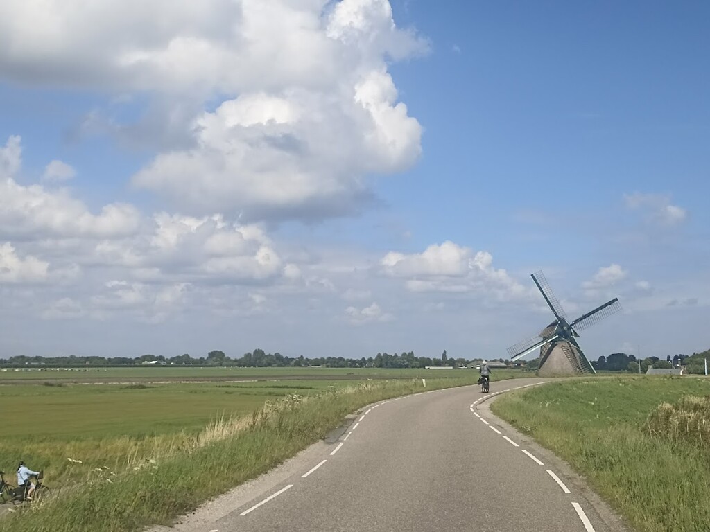
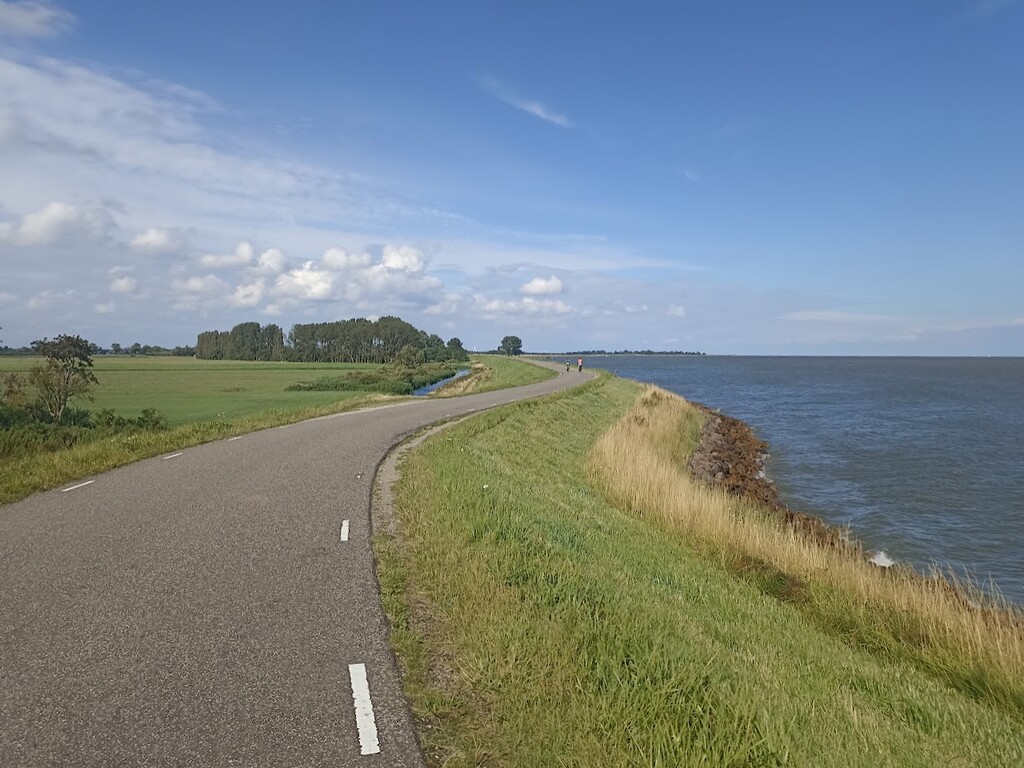
The route can be done almost entirely on paved roads/cycling paths but I preferred to take grass footpaths on top of the dykes where possible (around 10 kms of the total). Your shoes' profiles may clog up with sticky clay though, especially if you do this after rainfall.
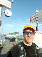
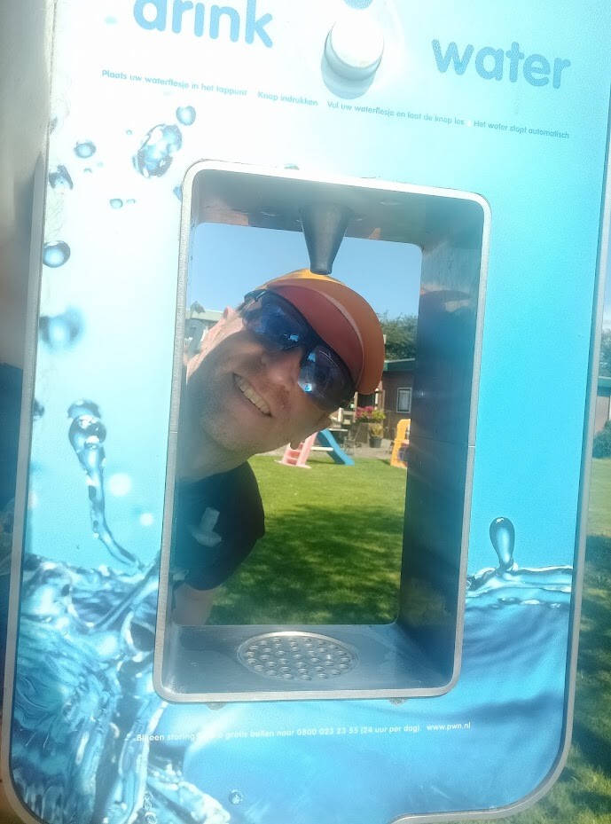
I used public water taps to refill my bags and flasks in Amsterdam, Monnickendam, Schellinkhout, Enkhuizen train station and Almeerderstrand, and took quick sips from some other taps when passed (used site drinkwarerkaart for most complete and app waterspots for recent updates). I used free public toilets in Uitdam and Volendam (as per app hoge nood), please note the route offers very few possibilities to find a secluded spot for bathroom breaks if you can't wait for a public toilet.
For closed roads for pedestrians, I used the melvin website together with the website of Alliantie Markermeerdijken and the websites of municipalities and province. I also did a recce of the first and last 25 km.
I really enjoyed the route and hope more people want to give it a try.