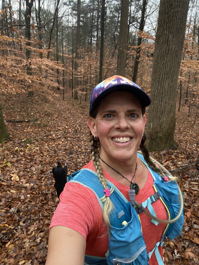
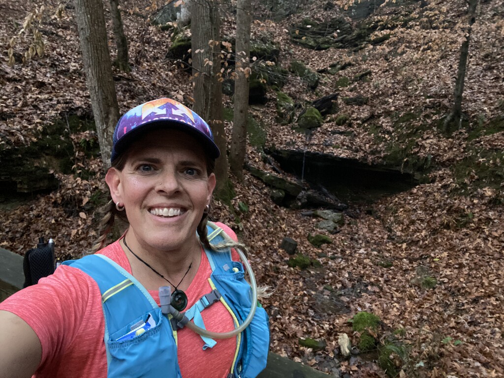
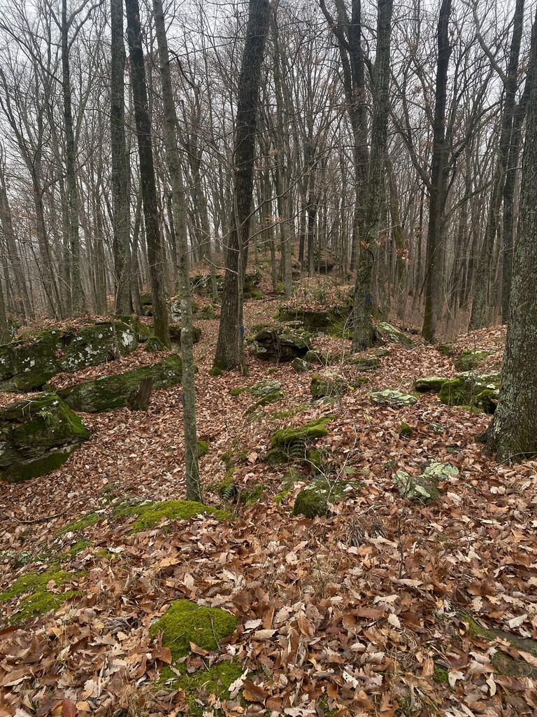
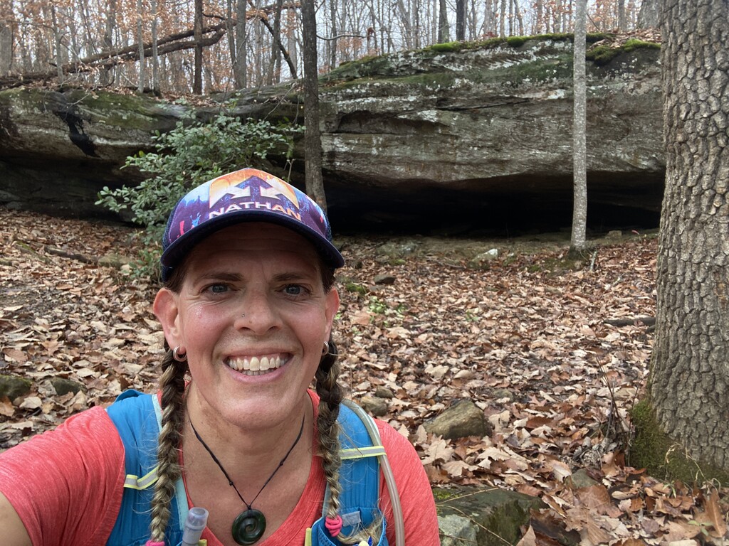
I ran this loop unsupported on 12/2, clockwise direction starting and finishing at Maple Springs Trailhead. It turned out to be a great day for running - temps in the 50s, overcast but no rain - perfect weather! There had been some rain the day or two before and when I heard that a lot of this route was on horse trails, I was not so sure this was going to be a good idea. The trails turned out to be in excellent condition and really hard to tell in most places that horses were sharing the trail system. There was some muddy and boggy parts near First Creek campsites up to the First Creek Trailhead but the rest of the trails were dirt or fine gravel and very runnable. Obviously when running unsupported, water is always the biggest question mark. I had thought I could refill at First Creek but ran out way before that (I was carrying two liters but probably drank more in the first half than I should have.) There are two creeks that cut across the route, Wet Prong and Dry Prong. Luckily there was some pools of water on the Wet Prong so I could refill. Then my filter was not working for some reason so I had to rely on my backup purification tablets. I was much more cautious about drinking in the second half because I was nervous about running out again because when I crossed the streams again, it would be further upstream and I thought they might be dry. Funny enough, upstream was full and flowing for both of those creeks so I can only assume they go underground at some point. I guess that's not surprising in cave country.
There is road access at a couple other trailheads but not sure starting at those would give any advantage over Maple Springs unless you want to get the muddy part out of the way first. Could also use these spots for water drop or meeting someone for support to make that easier if desired. Don't count on getting water at the river - it's farther away and down than it looks on the map (but seems doable if desperate). If you do need water at First Creek, that is also doable but looks a little trickier to get down to the creek by the trail; just might have to go a little further to find a good access point. There are also some springs marked on the map but I did not go looking for those as had no idea if I'd find anything. Otherwise, I was able to carry enough food and didn't need much else as the temps stayed stable all day.