One of my favorite routes! I've been wanting to give a harder effort on this one since first doing it in July '22. It provides so many of the things I love in a good high sierra adventure: vibrant meadows, pristine alpine lakes, spectacular granite peaks, meandering streams, diverse wildflowers, engaging single tracks, some boulder scrambling, and a feeling of remoteness amongst the grand peaks. Get out there and try it!
Heads up to anyone looking to do it: this route involves some off-trail class 2 boulder scrambling up to the summit, and at the furthest from the trail it is very remote and high at 13,213 ft above sea level. You'll need to be comfortable with scrambling, acclimatized for the altitude, and prepared to be self sufficient out there.
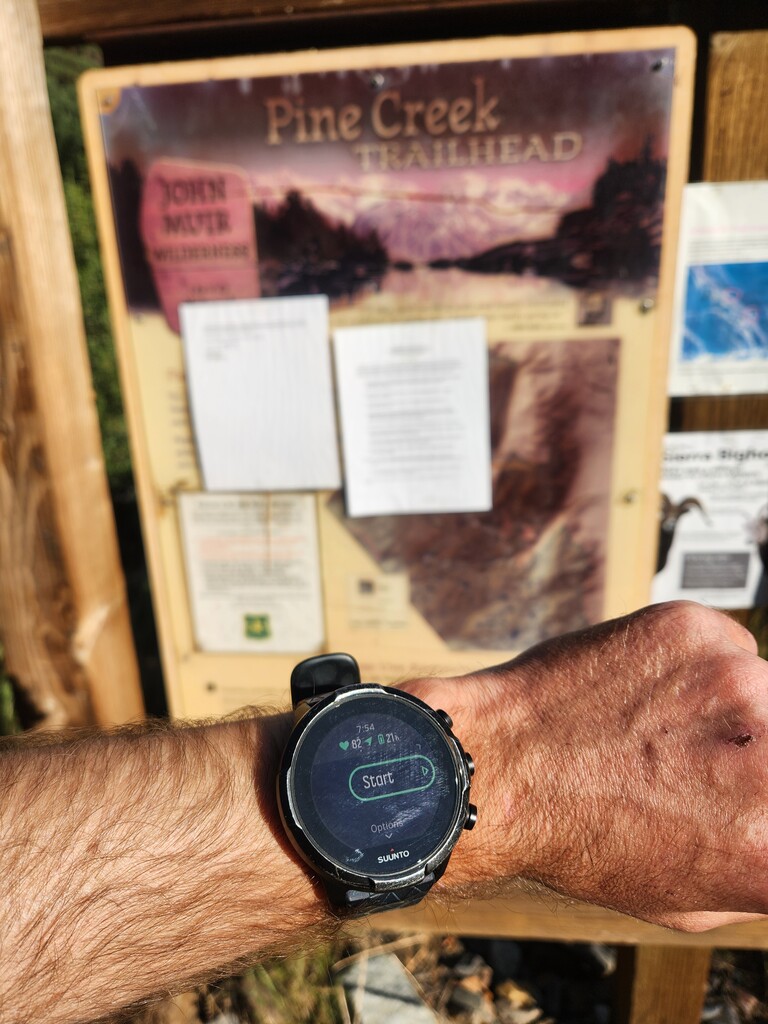
The Route
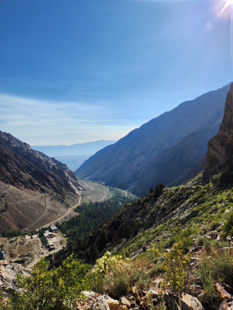
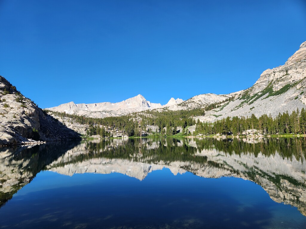
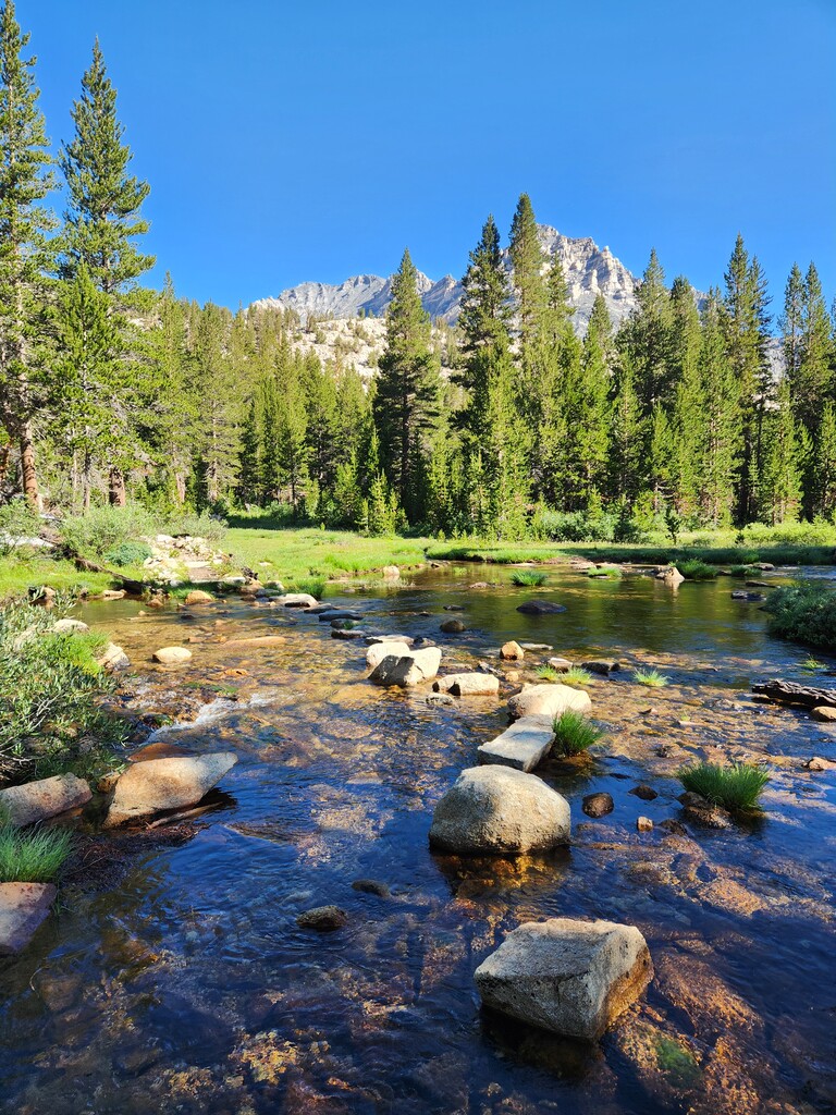
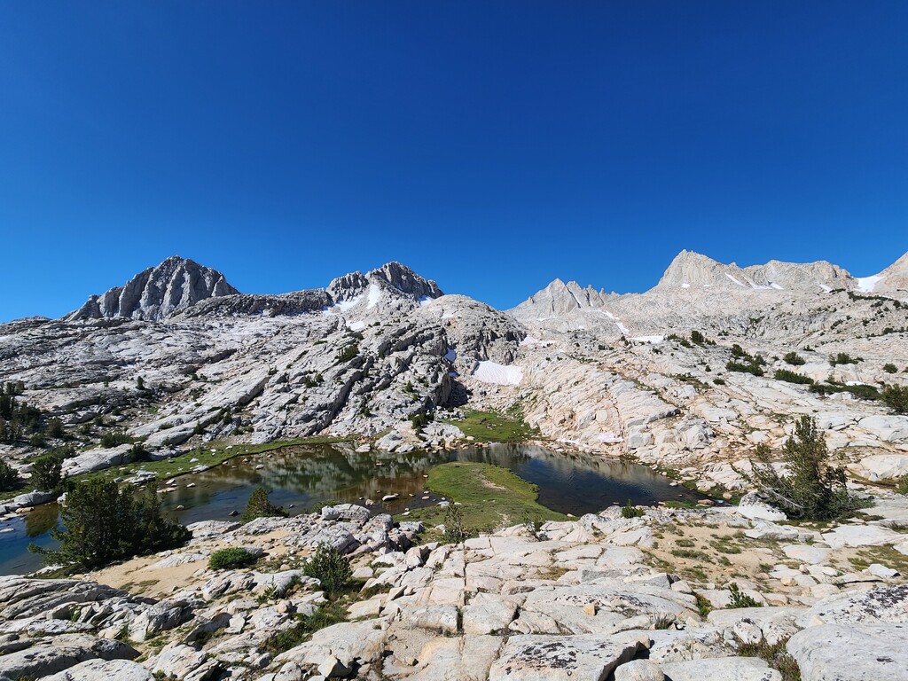
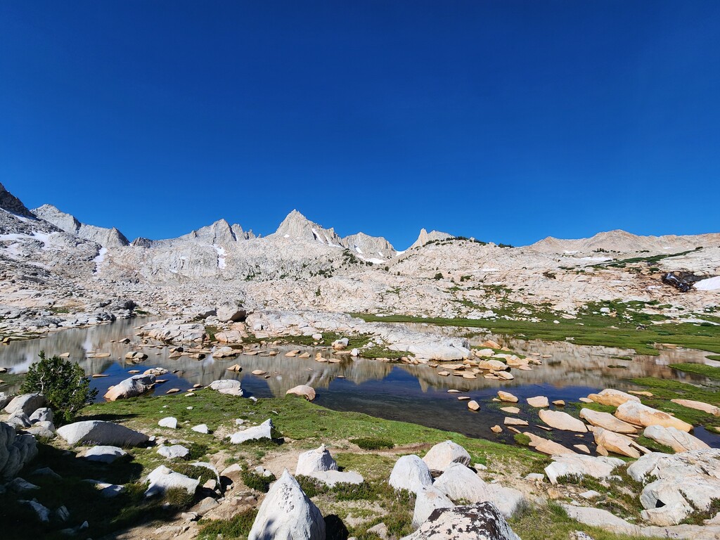
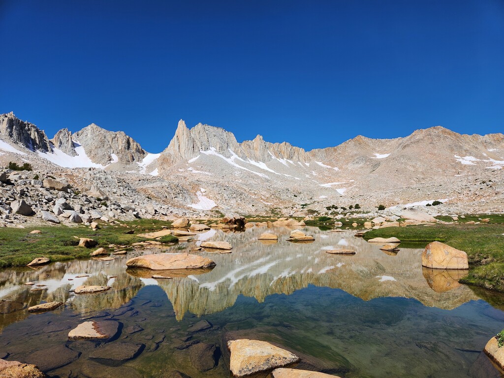
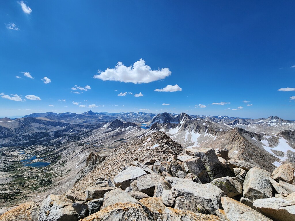
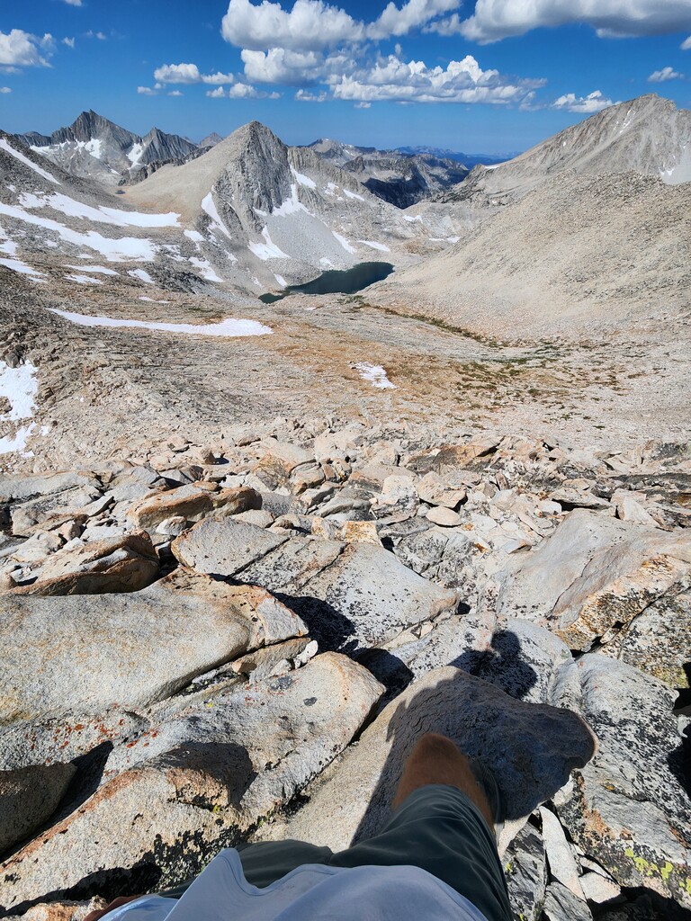
No messing around on this one! The route starts off with a bang, taking the classic Pine Creek switchbacks up out of Pine Creek valley, reaching Pine Lake in 4 miles and 2,600 feet of climbing. Then I continued to meander through mostly forested trails, passing Upper Pine Lake and several creek crossings. Taking a right at the fork towards Italy Pass. I passed Honeymoon Lake and started to head along the creek system up into the Granite Park area. The trail made its way up through several ledge sections past waterfalls and around a few small, unnamed lakes that form in the basin, often requiring me to go up and down more than expected to get through the rocky terrain. About 1.5 miles out from the pass, the trail already faint, began to really fade out, leaving me to follow cairns and footsteps. From this point onward, there wasn’t much of a trail. I did my best to follow the existing trails and cairns, walking on granite to reduce impact.
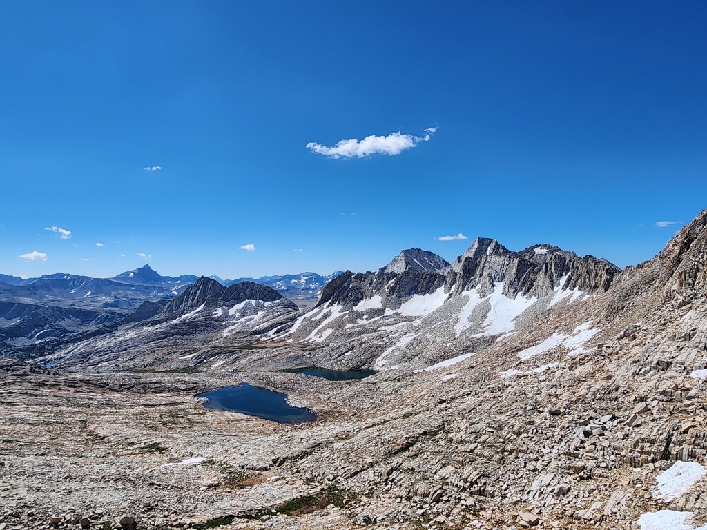
Ascending to the notch of Italy Pass was straightforward as I could follow some established switchbacks through weaknesses in the ledges. Once on the pass, I simply pointed it up and right. Making my way up through the granite boulder talus to the summit of Mount Julius Caesar (CLASS 2). In some sandy sections, there was a faint trail to follow, but mostly it was unmarked boulder hopping on solid granite; I just kept my eye on the summit block and made my way towards it. After enjoying the views for a few minutes (I couldn’t find the summit register this time), I headed right back down the way I came to get back to the trailhead. The route is straightforward conceptually on the way down, but the trail can be faint and change direction quickly, so I really had to stay focused to stay with it.