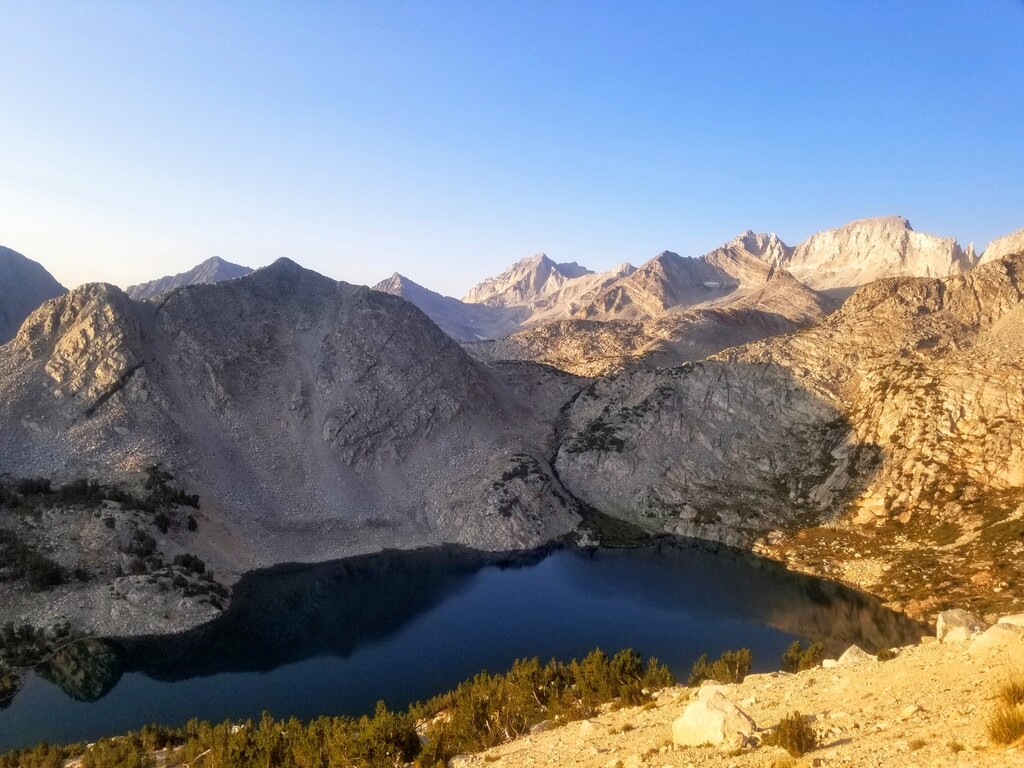
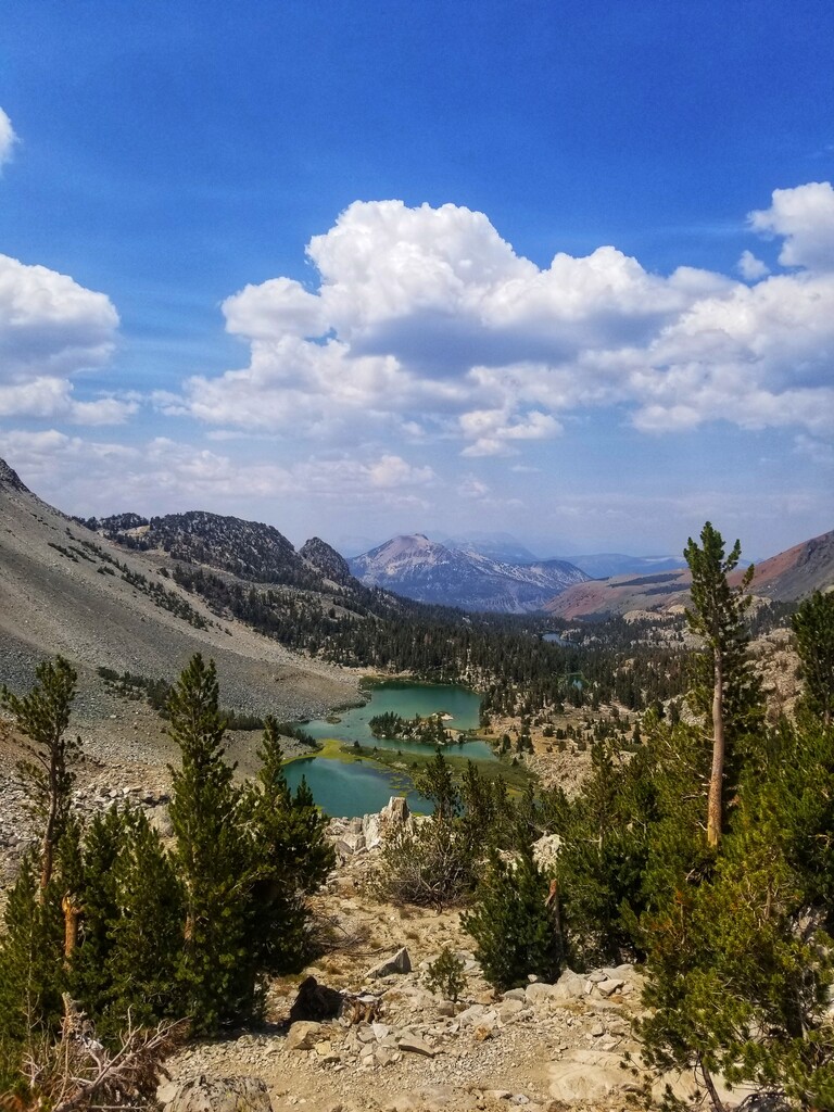
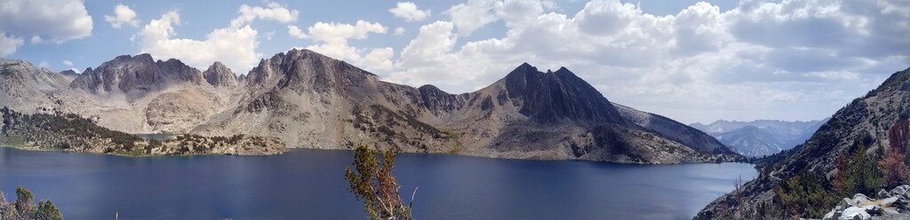
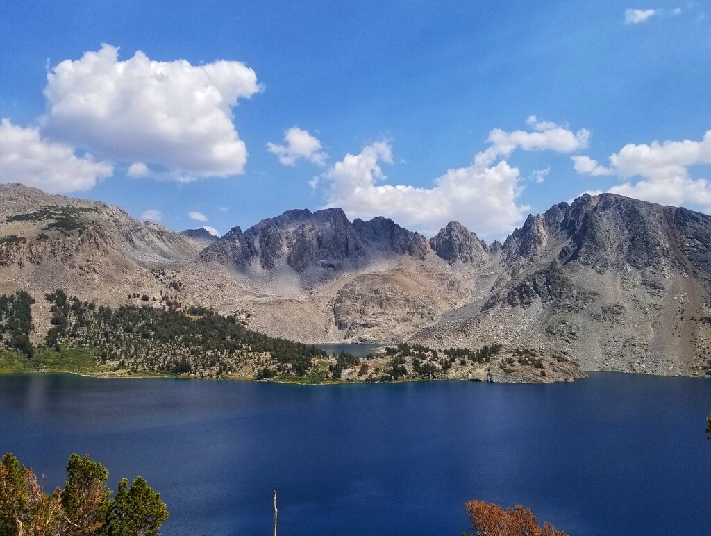
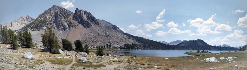
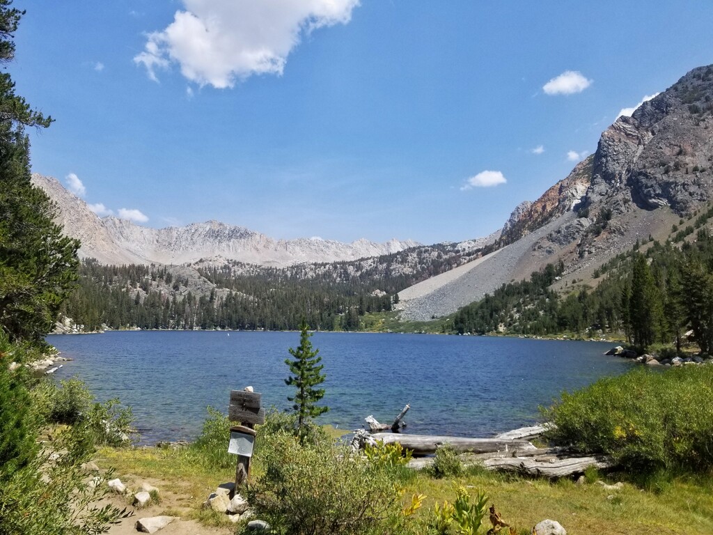
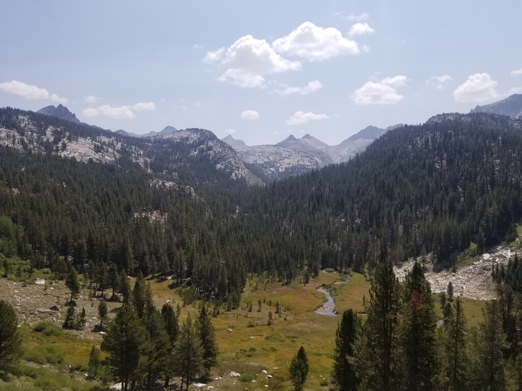
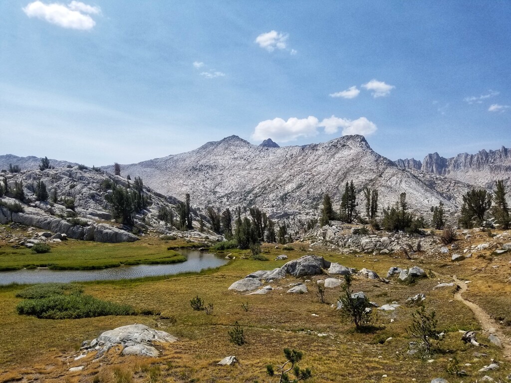
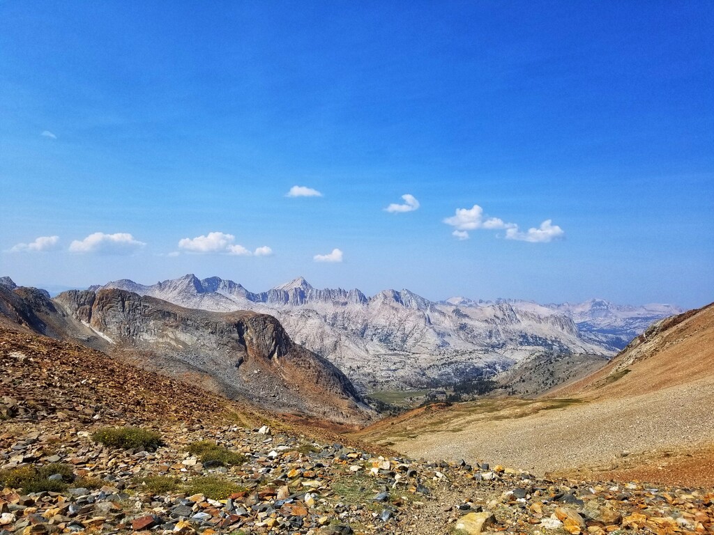
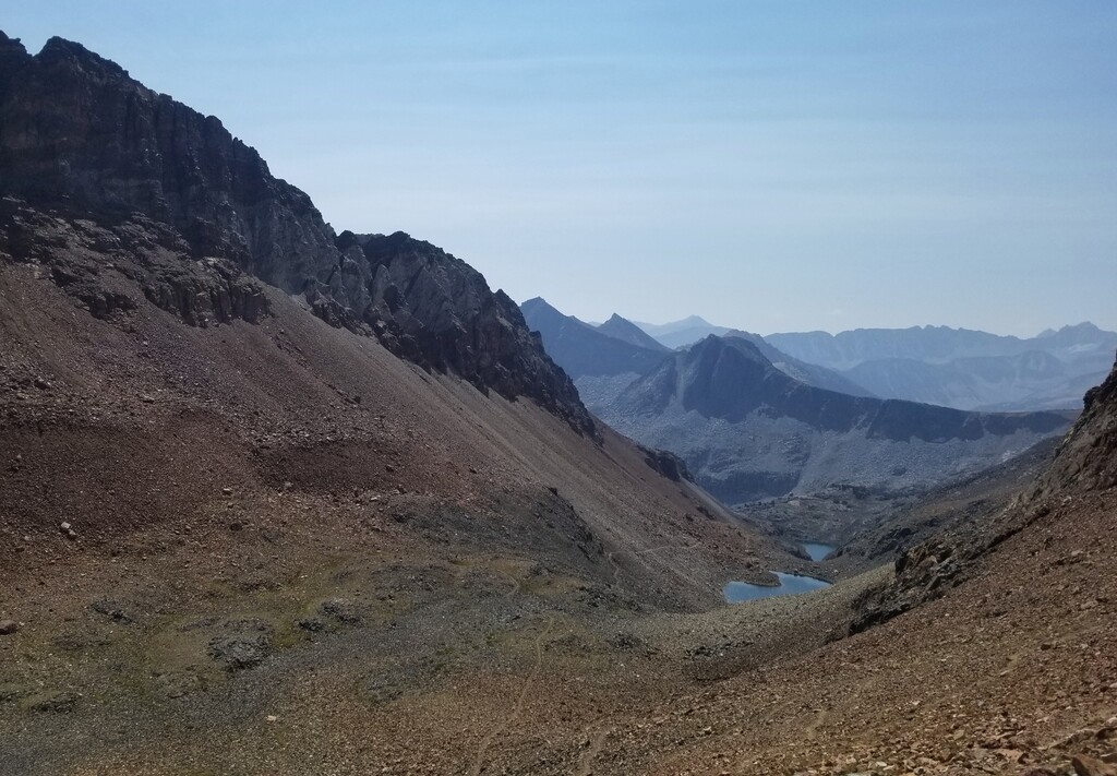
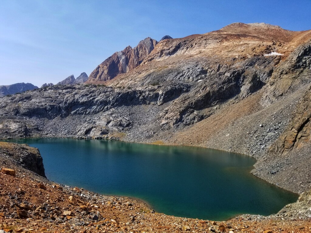
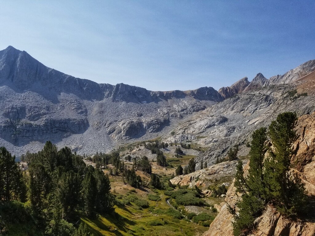
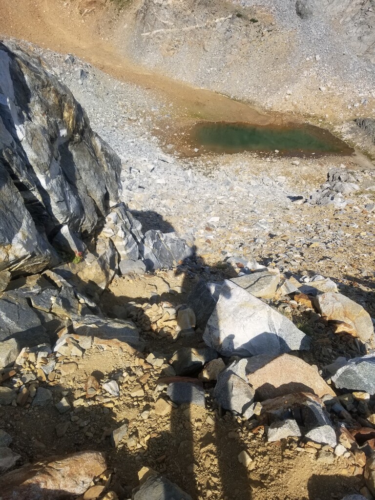
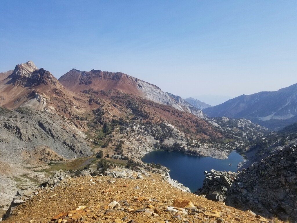
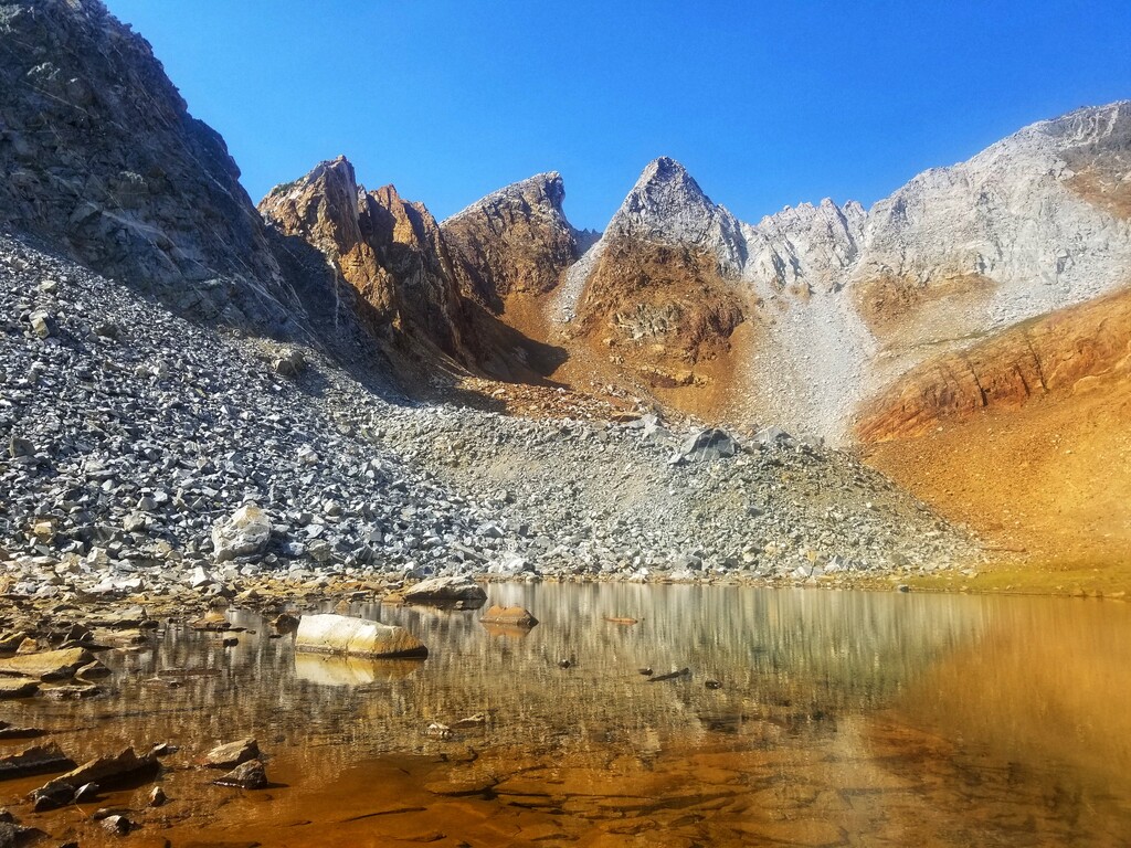
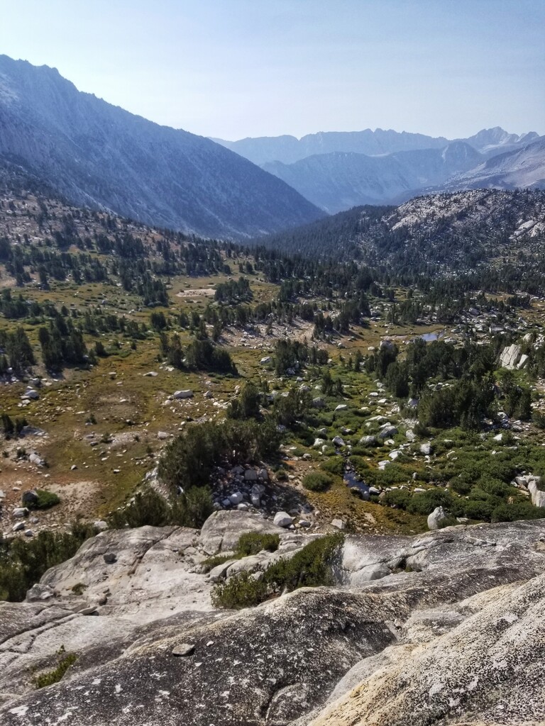
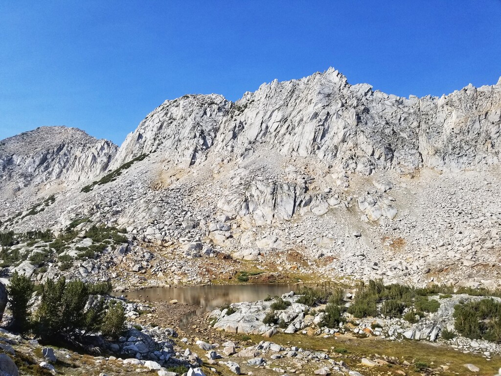
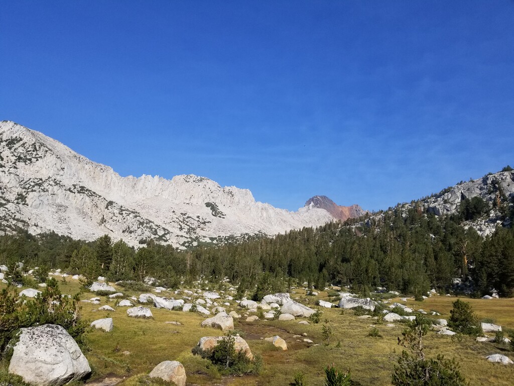
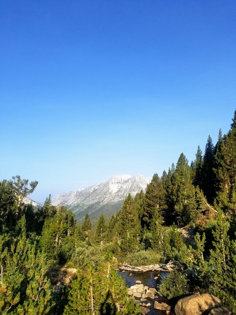
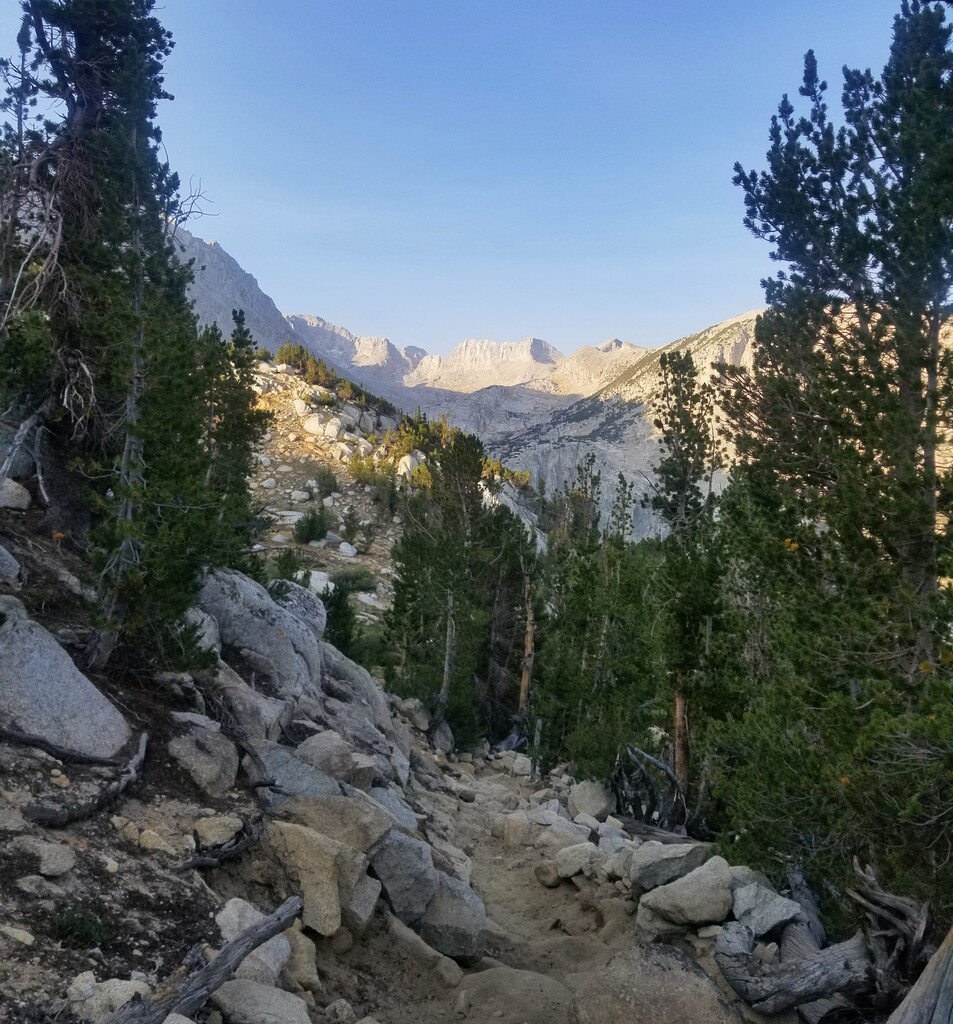
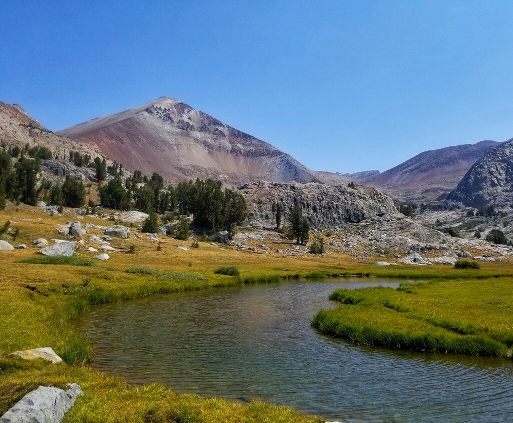
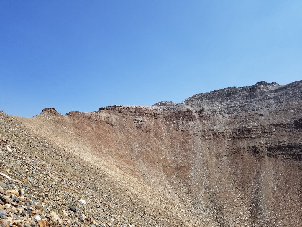
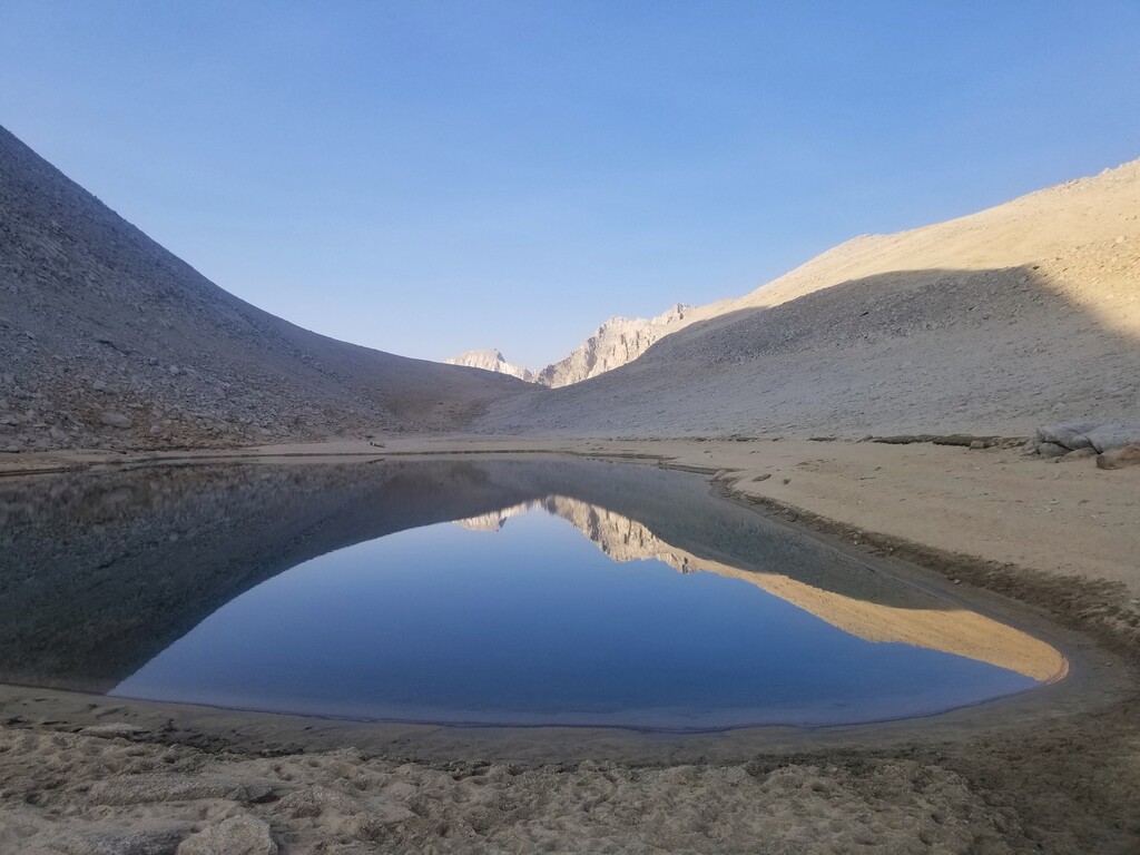
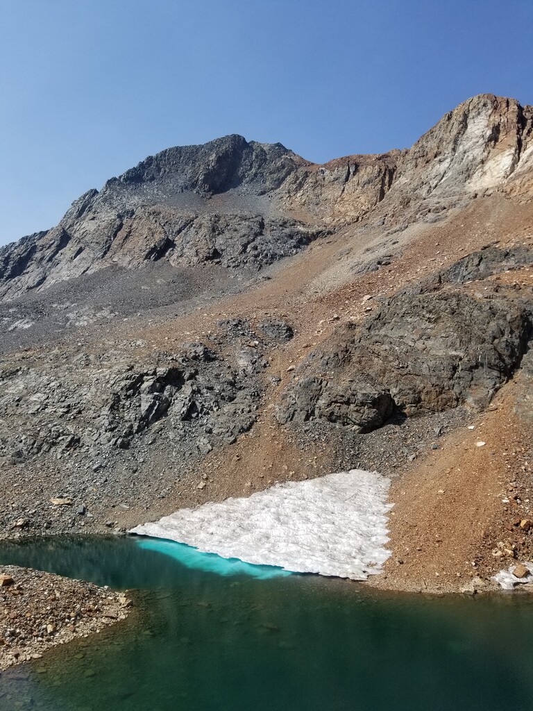
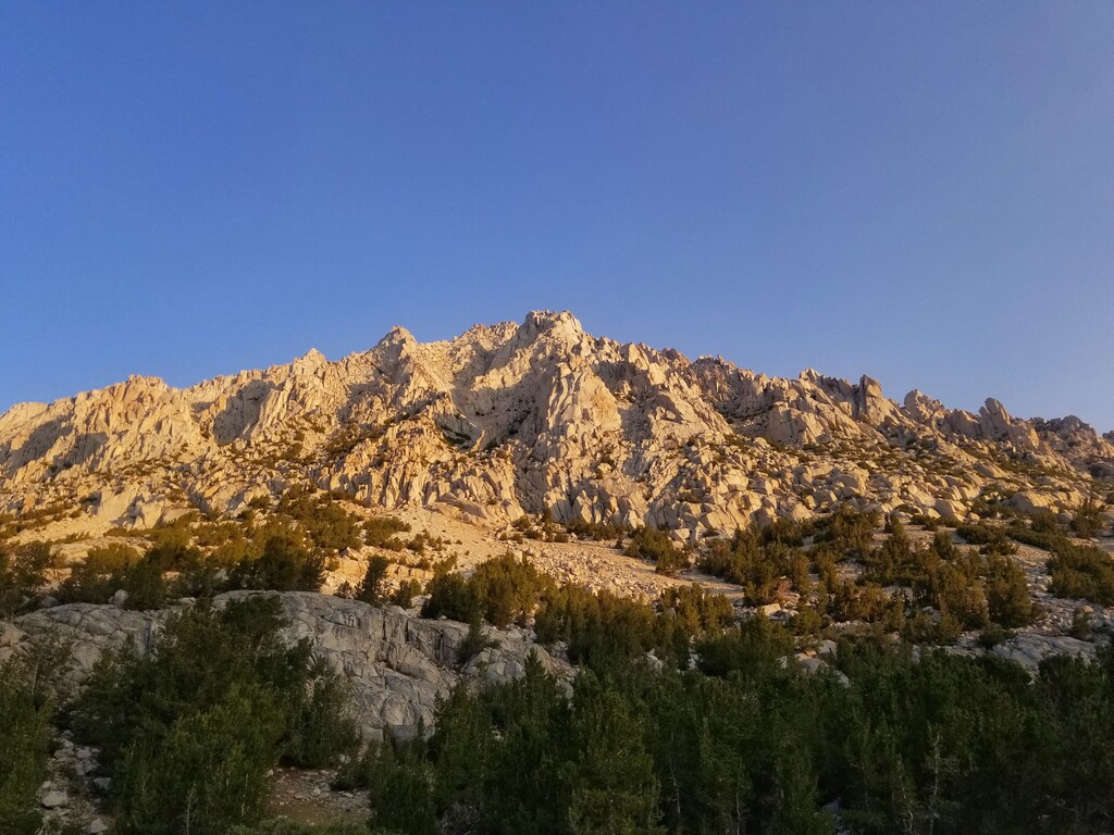
I've been eyeing a bunch of routes in the 25-35 mile range around here in Mammoth Lakes. There are many amazing routes that connect the major drainages around here (McGee, Convict, Rock Creek, Mammoth Lakes), but after researching off and on all summer this one kept popping back up for me. It traverses some special and less travelled areas while still hitting some popular (for good reason) trail sections in the area. All singletrack with views throughout, I would definitely do this again. I wrote a fairly detailed description of the south to north route in the route description, so I won't repeat it here.
With the wildfires in the area and a few questionable weeks of training I was starting to think that I would have trouble getting a long adventure in this August. However, I had a few good runs the second week of August, a smoke window opened up, and this route continued to call my name louder and louder so I decided to try it August 14th. I did the route solo unsupported both to reduce logistical complexity and because it's fun that way ?.
Everything came together well that day for a successful outing. I got up early and was at the trailhead parking lot around 5:50 to do some prep before starting at 6:13am PST. I brought more food than I ever have for a run and ended up using most of it: consuming about 13 total Spring energy gels of various sizes totaling about 1800 calories. Luckily my stomach cooperated throughout the day, no problems though it became harder to fuel up as often as I needed towards the end. For water I brought a soft flask with a filter top and didn't run with it filled; I drank up as much as I could at many of the lakes and creeks along the way. I'd guess that overall I consumed about 2.5 liters of water. With my Suunto 9 watch and Garmin Inreach mini I had my route well tracked and had access to friends or SAR if anything went wrong. I also brought a small medical kit with some tape and bandages in case I needed to do some on-trail repairs (none this time!). I moved consistently most of the day making good time up the big passes and managing the 8,000 ft vert day better than expected. However, I wasn't able to hit the downhills as fast as I hoped with all the narrow, rocky trails particularly in the southern half of the route and I just couldn't help taking hundreds of photos. I finished at 2:29pm PST in 8 hours 14 minutes and 1 second according to my Suunto 9 watch's track. It's an adventurous route and I hope someone else will go out there and beat my time, so I'll have to get back out there again for a harder go soon.