
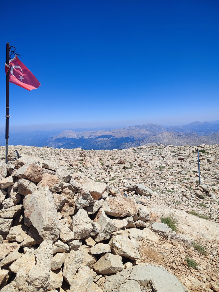
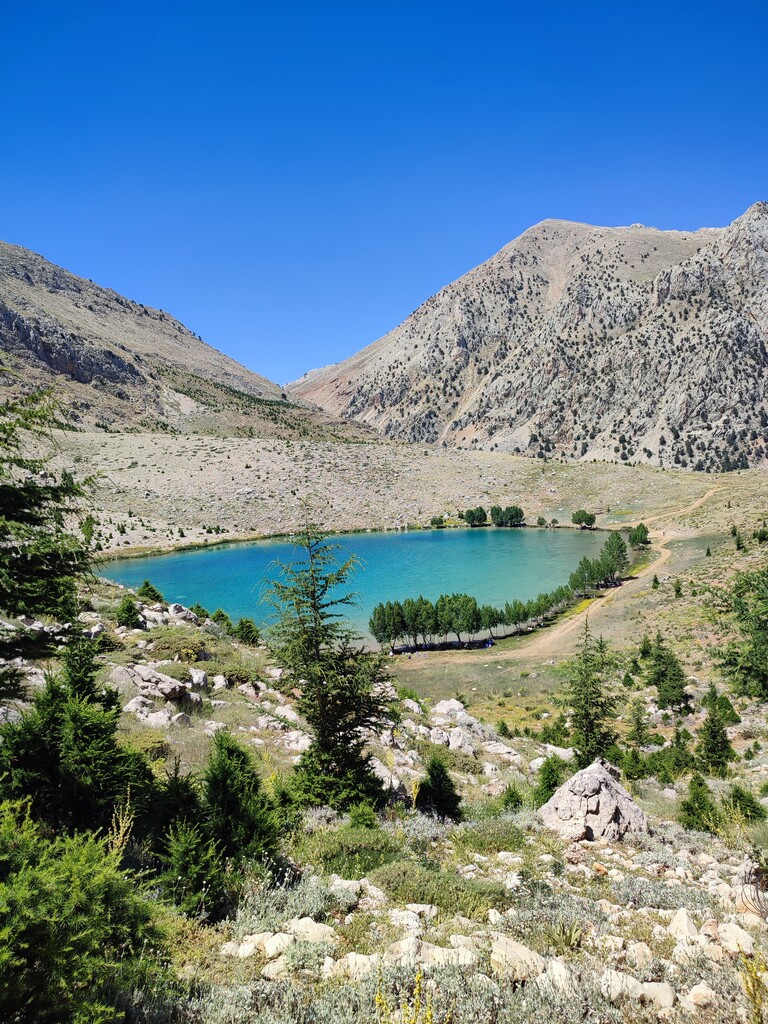

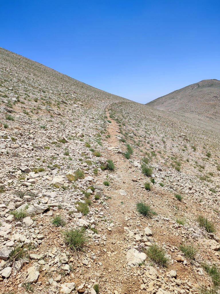
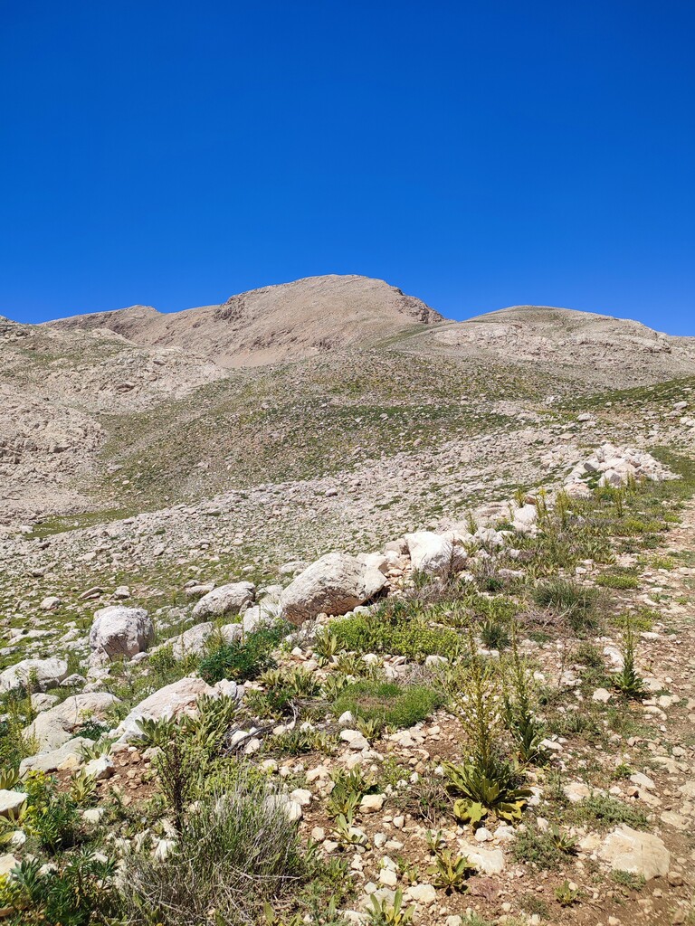

Starting with an overnight camp at Yeşilgöl at 1,800 meters, this journey is approximately 26 kilometers long and was completed using only the food and water carried in my backpack. Following stabilized roads, the route climbs to Subaşı Plateau at 2,000 meters, and then, by following distinct paths, ascends to an altitude of 2,600 meters. From 2,600 to 3,000 meters, the ascent is made on very technical terrain using the route marked by mountaineers. I took a break at the top for about an hour, enjoyed the scenery, and recorded a nice video. For the descent, I used the opposite slope and returned to Subaşı Plateau via distinct paths. Returning from Subaşı Plateau to Yeşilgöl took about 15 minutes. The total route is 26 kilometers with 1,400 meters of elevation gain, completed using only the water carried on my back and the water I filled from the fountain along the way. No external support was received.