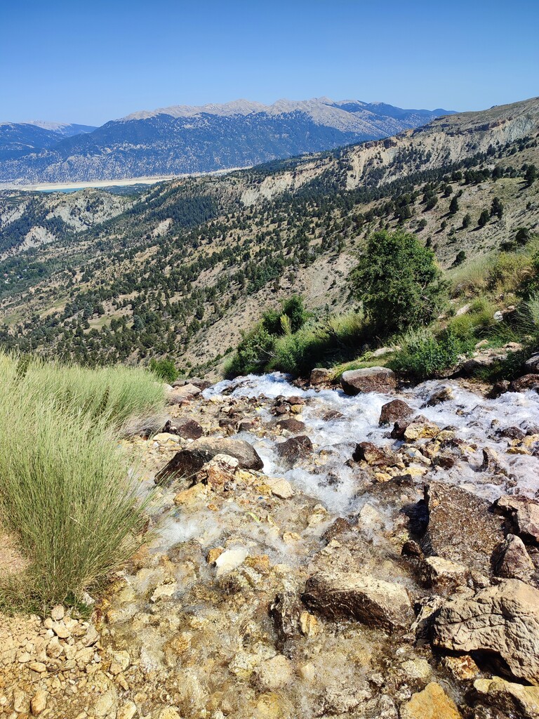
Uyluk Tepe, located within the boundaries of the beautiful Kaş district of Antalya, is the second-highest peak in the Western Taurus Mountains in the country’s southwest. The trail, which begins at Yeşil Göl—a stunning natural formation in the Gömbe neighborhood at an elevation of 1,800 meters—passes through the Subaşı Plateau and continues northward toward the massif. The final segment features a steep and rugged ascent, reaching an elevation of 3,014 meters. From the summit, continue southward and descend toward the base of the massif. After continuing along the trail for a while across flat terrain, it descends steeply to the Subaşı Plateau. From there, follow the path leading back to Yeşil Göl. Due to the limestone rocks found in the Taurus Mountains, shoes with sturdy soles and ankle support are recommended. As this is a wilderness area, you should be very mindful of wildlife. Since most of the route is at high elevation, it does not pass through forests or wooded areas. However, water sources are quite abundant in these mountains, which are believed to have been formed by an ancient glacier. This loop can be completed in either direction.