I ran the Brandywine Trail unsupported from northern to southern terminus on 1/11/83. It was my 40th birthday, so I wanted to have a fun day, and I did!
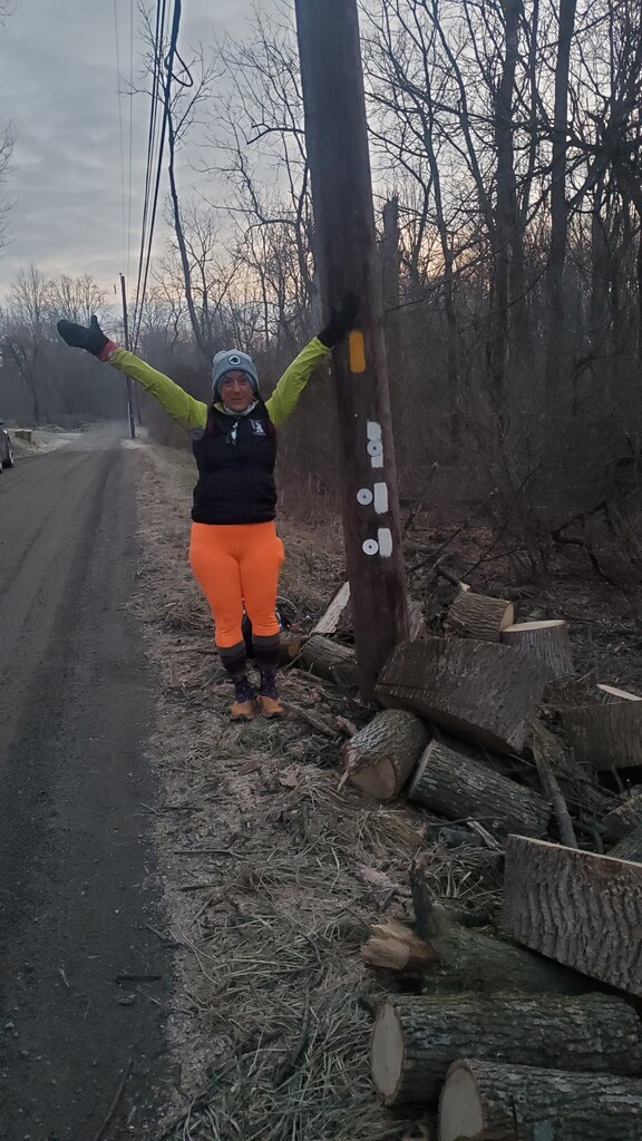
The very awesome Kiran Koons drop me off at the northern terminus at the side of the road and headed out on my own. I brought along 3 liters of water, a water filter, and provisions including gels, first aid kit, hand warmers, extra shirt, extra socks, a sandwich, and a little thermal of coffee as a warm treat. Temps were in the 20s in the beginning making Marsh Creek very runnable. The ground was frozen instead of being muddy and slick like usual. I stopped at the elevated train line south of Johnstown Park to have half of my sandwich and some coffee. It was a neat place to stop.
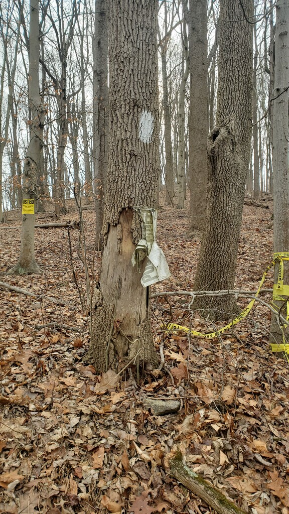
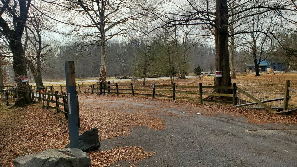
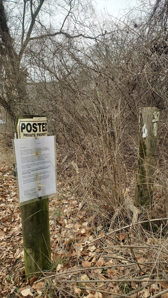
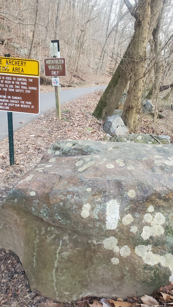
The trail was very well-marked until Harmony Hill where I began needing my maps more. Got through this section fairly well and kept it moving. Coming out of Telegraph Rd is where I started having problems. I lost the blazes, doubled back, then discovered there was an alternate route that I was already on - this is where the bulk of my extra mileage came from. I followed the suggested alternate route from the website to get to Stroud Preserve. Once I got there, I was told by a park employee that the park was closed and also the owner of the next lot of private land did not want people going through during hunting season, so he would not allow me to go through. I took the road around and connected to the blazes again. The distance was about the same, and I lost more time because I had to rely on maps more than blazes. The next trail section should've been at the fork of Creek and Blue Rock. I found police line on the trail, no trespassing signs, and a "trail closed" sign. It was a short section that connected back to Blue Rock Road, so I stayed on the road - again, about the same distance. A short distance, again I found no trespassing signs at Brandywine Picnic Park, the park looked to be under renovations, and the fire department was there. I went around on the road for a slightly longer route. Pictures are attached for proof of trail closures.
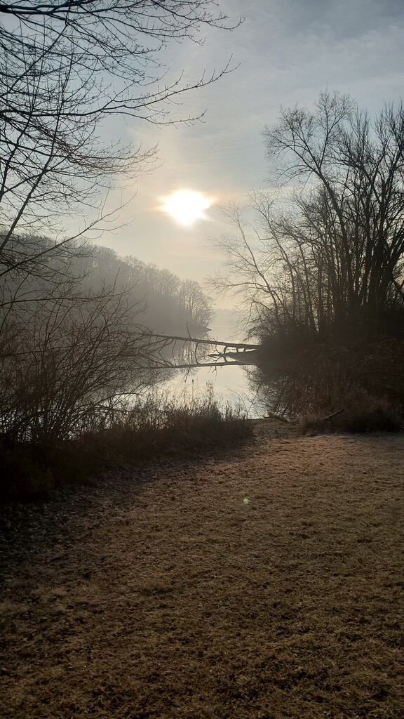
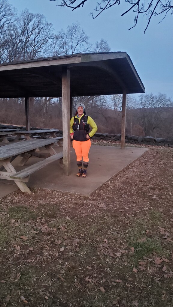
The next section by the Creek was lovely, though, I lost time again because I second-guessed myself. Not being able to phone a friend surely slowed me down, but I had a chocolate covered pretzel I had stashed in my pack. Food always helps the mood! Next up, I came up around the school and saw the blazes connecting to the MDT across the street. I got a little emotional! It was less than a year ago I completed the entire MDT. I'm still processing the whole thing. So, the next section was lovely because I got to follow the MDT for a bit, then split from the MDT to another fun section, stopped and had the rest of my sandwich and some more coffee. I came out to Rocky Hill Rd, followed the blazes, and the blazes went into private property with a posted letter not allowing trail traffic. Again, had to find a way around on the road and spent a lot of time checking and rechecking my map - again, distance was about the same if not longer. Got through and finally into the park! Now, it was pretty straight-forward. I got through Brandywine Park and on track for a 10 hour finish until I hit some mud bogs. Guess my feet were entirely too dry anyway. lol. I followed the red markers up to the pavilion for the finish! My car was parked a little down the road, so Kiran picked me up from the pavilion so that I didn't have to walk there.
I think part of an unsupported adventure is dealing with changes and the unexpected, so I really didn't mind that I had to adjust a little. Plus, the trail was a bit far for me to scout the whole thing. It would've been easier had I had time to scout with a local. I think unsupported would be tougher in summertime since water sources are a bit of a walk from the trail. Other than that, it was easy enough to carry everything for this distance. I ended with about 2 extra miles from doubling back on myself. Bonus miles! To confirm - I did finish totally unsupported - I carried all my food, supplies, and water. I received no assistance in navigation once I started. All in all, it was an awesome run, great weather, and a beautiful trail.