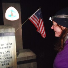
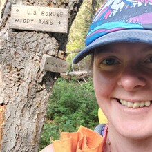
I completed the Washington PCT unsupported in the southbound direction. Given the additional challenges of a 30 mile approach with a full pack, I do think there should be differentiated records for nobo and sobo on this record. Regardless, I bested the overall time which was set nobo a few weeks ago. It was a supremely challnging effort which was hindered by wildfire smoke and a heatwave. I went largely sleepless for the first 6 days, but had to give in to the need for rest near the end. I started with 40k calories, which got me through the first 9 days + approach no problem, however I was left rationing pretty significantly the last 24 hours. My body held up well to the hike, however, the weight of the pack + the heat and rugged terrain of the north cascades and glacier peak really tore my feet up in the first 3 days. This hindered my pace further south.
Of particular note is that the bridge across Kennedy Creek (a glacial river in the Glacier Peak Wilderness) is washed out with no plans to replace. I got knocked off my feet fording it at high water at night during the heat wave. I suspect this will continue to be a complication for many hikers traversing Washington.
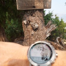
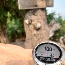
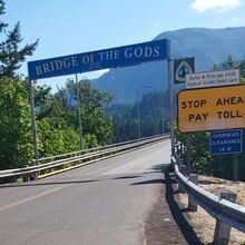
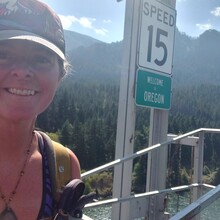
Regarding my gps tracks: my watch ran out of storage with 72 miles to go. I did not even know this was possible. I scrambled to come up with a solution, which was to run an interim track in Gaia on my phone until I found a place on trail with service to sync my watch with my phone. This cost me an hour of time, but allowed me to resume recording on my watch. Also, there is a discrepancy between where my navigation app placed the OR border and where the sign on the bridge is. I initially stopped my watch where my app said, but then saw the sign in the distance and resumed for an additional .07mi and 3 min.
Sleep deprivation was a huge challenge, making it hard to think clearly. I also experienced auditory hallucinations and a loss of equilibrium. I also fell asleep standing up like a horse at one point, which was comical.
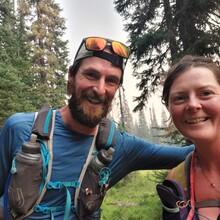
I was thrilled to meet Karel on his historic PCT Supported Run near the Bumping River!
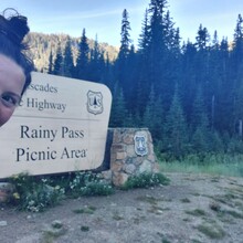
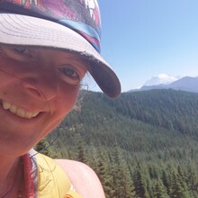
Intense wildfire smoke made visibility almost 0 from Mount Rainier NP to south of Mount Adams. This was unpleasant to hike through to say the least.
Overall, the unsupported effort at this distance was extremely challenging and while there was a lot of type 2 fun, I am glad to have done it.
Athletes
Route variation
Standard route
Multi-sport
No
Gender category
Female
Style
Unsupported
Start date
Finish date
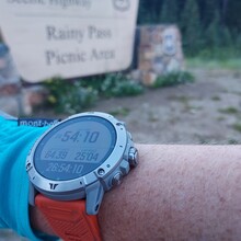
Total time
11d
6h
28m
0s
GPS track(s)
WA PCT FKT Track 3.gpx24.51 KB
WA PCTFKT Track 4.gpx21.23 MB
Report


Comments
I enjoyed following along and reading your report. This is a route I hope to attempt some day!