


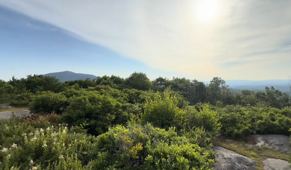

I created this route with the goal of linking all the peaks in the area containing the name "Monadnock." I completed it fairly slowly for my first attempt. I am a bit out of shape and more of a thru-hiker than a runner, but this route has so much potential and really showcases the best of our southern New Hampshire backyard. Here is how it went:
A sunrise ascent up Little Monadnock went super smoothly—well-maintained, and the trails are always empty. I passed through a really cool patch of rhododendrons; I am told it is one of the largest in New England. I hiked up to the junction with the Metacomet-Monadnock Trail (MMT), where I went left to tag the summit of Little Monadnock, and then returned to the junction. From there, I continued on the MMT toward Troy, NH. This section is very pleasant and easy to navigate, featuring great views of Mount Monadnock and Gap Mountain on the way down. The trail is slightly eroded, but still easy to follow. Crossing the powerlines on the ridge, I found a nice view to the east.
Getting into Troy is downhill all the way—a mix of road walking and a short stretch along the rail trail past the old caboose railcar into town. I saw a deer on the rail trail as the sun was coming up, which was an awesome moment. The route crosses through town by the little pond. Steps away is a local general store with snacks, drinks, and anything else you could want. I could not stop because I was going unsupported, but I noted it for next time.
After more road walking out of Troy following the MMT, I headed up into the Gap Mountain area. The trail passes an old spring water pumphouse that appears in MMT guides, though it did not look functional to me. I continued for about another half-mile to the base of Gap Mountain, where a bridge crosses Tyler Brook. I still had water, so I did not filter any here, but it is a decent-sized stream and I would not be surprised if it flows year-round.
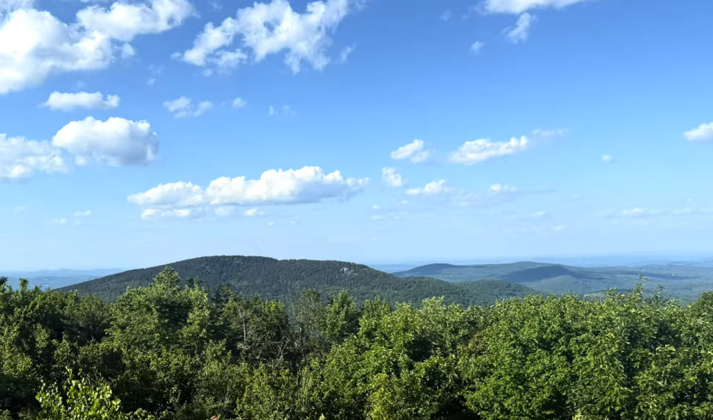
Over Gap Mountain was an easy, fun climb. There was a group of women picking blueberries on the summit. The peak offers views of Mount Monadnock, Pack Monadnock, and North Pack Monadnock to the north and west.
Continuing on the MMT, I passed multiple streams on the back side of Gap Mountain just before the Mountain Road crossing. I collected water here—it was cold and refreshing. Reaching the base of Grand Monadnock, I took the MMT up to the White Arrow Trail and rested on the summit for a bit. It was extremely busy since it was a bit later in the morning on a weekend at the second-most climbed mountain in the world. From here, I could see my entire route—from Little Monadnock all the way to North Pack Monadnock.
The descent down the Pumpelly Trail was one of my favorite sections. It is quite long, but the exposed granite and open views continue much farther down the mountain along this ridge compared to the south side. My knees were definitely feeling the impact by this point, but I reached the bottom and collected water right from Dublin Lake. The town has emergency fire-water hydrant things where the water comes right up next to the road. I just bent over and scooped up the lake water. I filtered and felt fine.
The next section was the first major road walk, and by this point, it was around 90 degrees. Needless to say, I was sweating heavily. I continued through the quaint town of Dublin, passing more shops I could not stop at, took a left at Bond's Corner, and connected to the start of the West Ridge Trail. This was a cool riverside section featuring a couple of miles of bridges, rapids, and large pools you could swim in. Great trail separating the two towns but fairly short. Only 3 or so miles until MacDowell Resevoir.
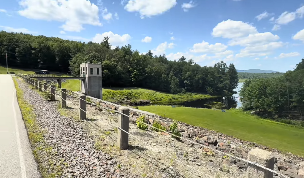
Finally, I emerged at the Edward MacDowell Lake reservoir, which is a great spot. It features public restrooms, picnic tables, and a functional public water fountain where I filled my bottles. I am not going to lie—I stayed there for about an hour because I was pretty exhausted by that point.
Crossing the dam and leaving the reservoir, I began my next road walk through Peterborough. It was very hot, but as I walked, I could see Pack Monadnock straight ahead looming over town. I stopped at Adams Park and Playground to get more water from the public fountain before continuing past the downtown restaurants and shops. Up Pine Street and then Cheney Avenue, I finally left the pavement and returned to the trail—this time on the Cranberry Meadow Pond Trail.
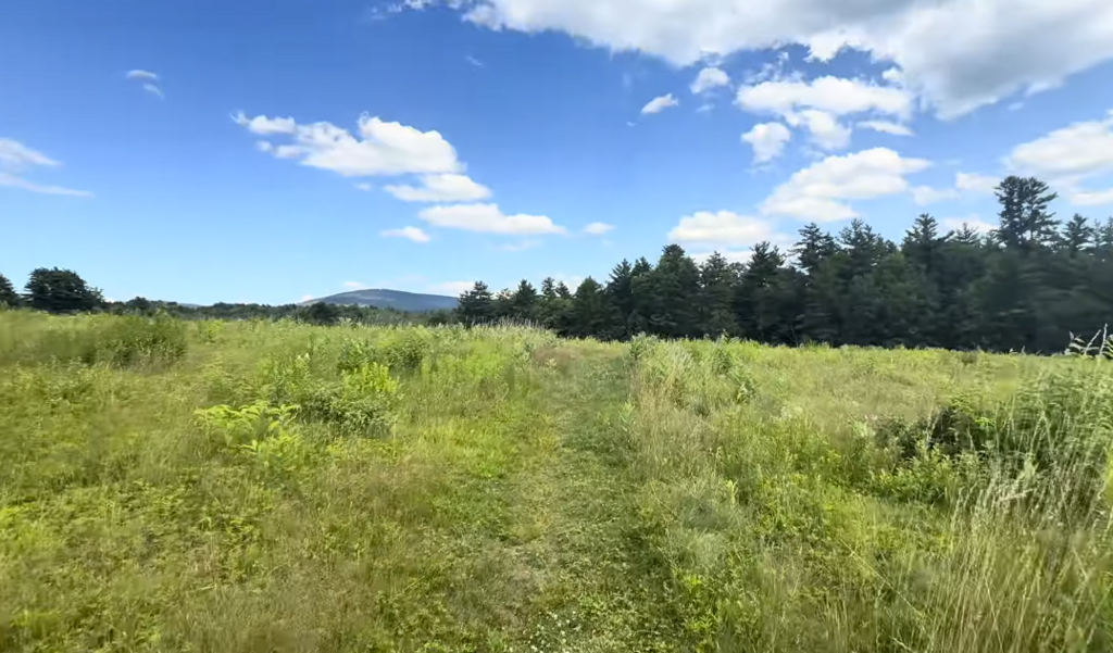
This was another one of my favorite sections: an open meadow with views of Pack Monadnock before the trail finally disappears into the woods. It features awesome boardwalks and a riverside trail throughout. This ended up being the last water source I would see on the route.
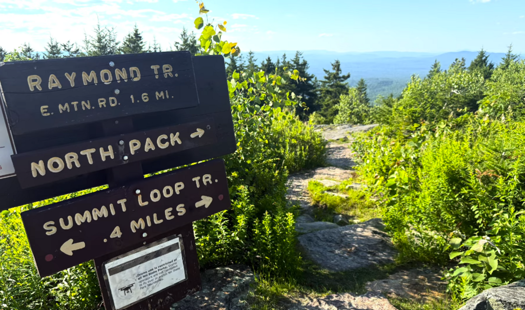
Gaining elevation, I eventually reached the junction with the Raymond Trail. These two trails combined make up the largest climb on the route—straight up from Peterborough to Pack Monadnock. I was exhausted and had to stop periodically to lie down on the trail because my legs were cramping up. Like I said, I am a bit out of shape.
I finally reached the summit of Pack Monadnock. For some reason, I thought there was a public water fountain at the top, but I must have been mistaken. With no water available—and having not collected any since the park in town—I had to finish the rest of the route without hydration. The summit itself is cool; a road leads to the top, so there are restrooms, a fire tower, and a small camp store building (which was not open). I tagged the fire tower and kept moving north on the Wapack Trail.
The ridge run from Pack to North Pack Monadnock is fantastic. The sun was starting to get low, casting a beautiful red light against the conifers. I had to keep stopping briefly because of leg cramps, but I finally reached the summit of North Pack Monadnock just as the sun was setting. My legs were smoked by this point.
The descent down to the northern terminus trailhead was rocky near the top, which was rough on my exhausted legs, but the bottom half was smooth, well-maintained, and flowy. I passed a bunch of dry seasonal streambeds and finally popped out into the dirt parking area. I tagged the Wapack Trail sign, stopped my strava, and took a nap right in the dirt.