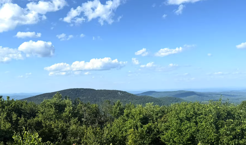
Route Name: Four Monadnocks Traverse (4MT) (NH) Route Type: Point-to-Point
Route Statistics:
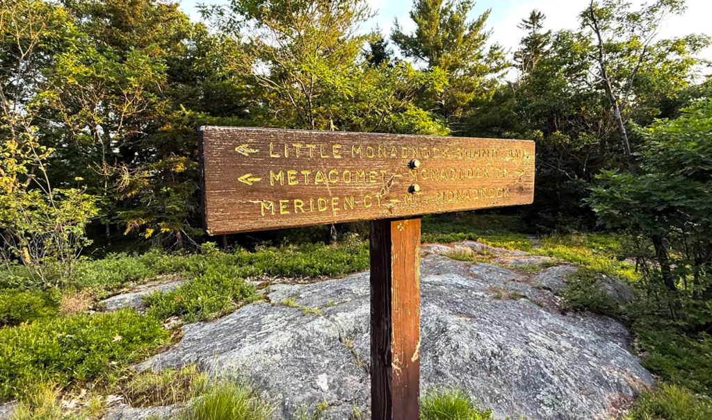
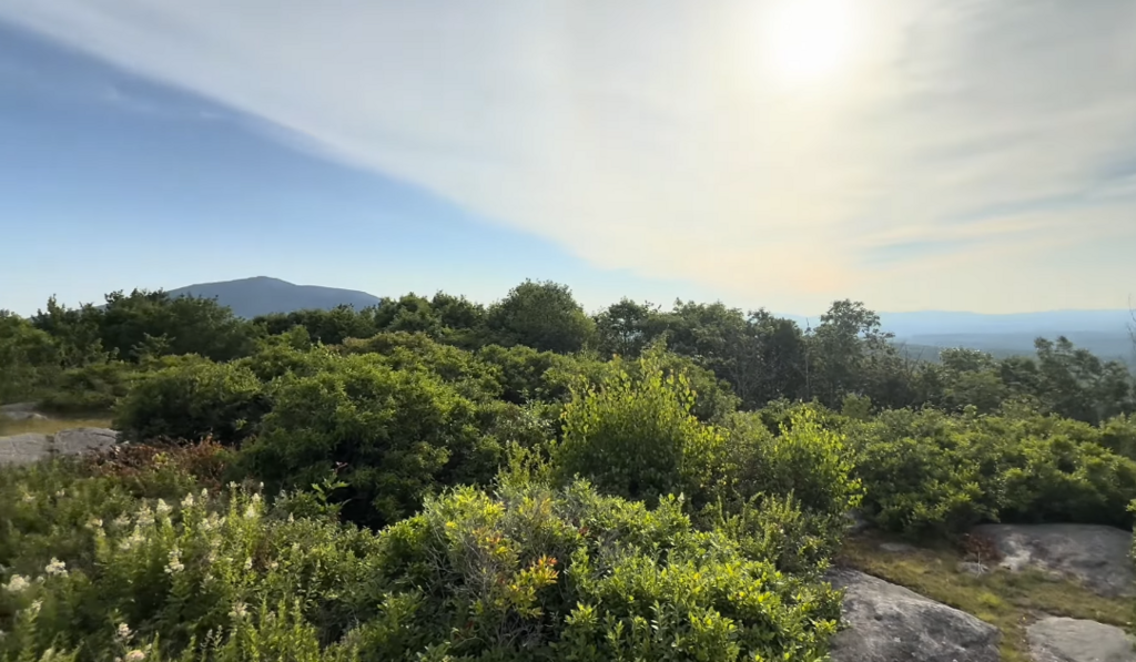
Route Description: The Four Monadnocks Traverse (4MT) is a 32.25-mile point-to-point linkup in Southern New Hampshire. It connects the distinct peaks that define the region's topography: Little Monadnock, Gap Mountain, Mount Monadnock, Pack Monadnock, and North Pack Monadnock.
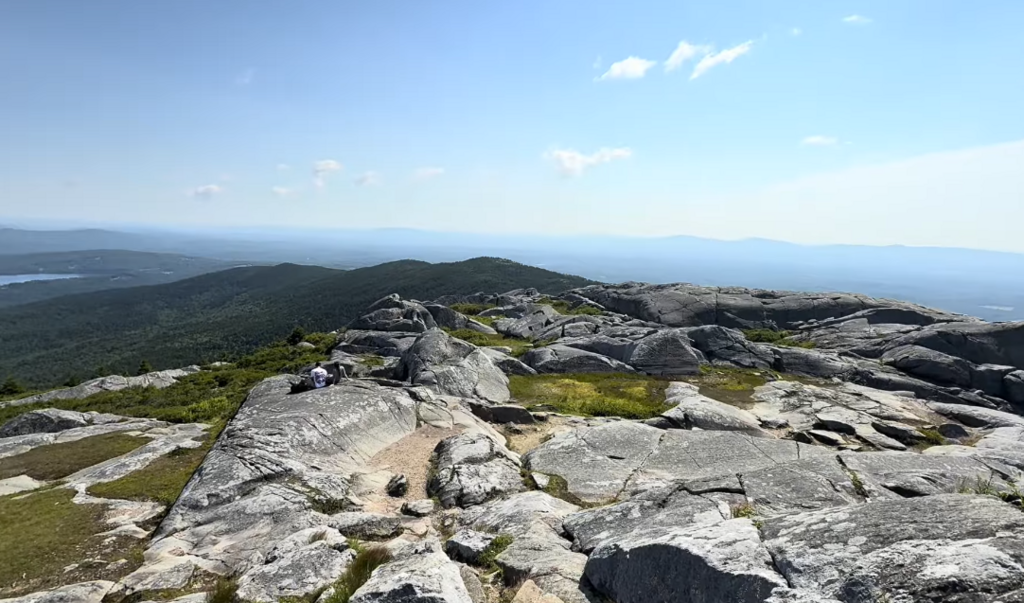
Starting at the Rhododendron Trailhead, the route pushes eastward across rugged trail systems, steep ledge bands, and Class 2 rock scrambles. The physical crux is the ascent and descent of Mount Monadnock, requiring sustained hand-over-foot rock navigation on bare, exposed schist. The effort finally concludes at the Wapack Northern Terminus after crossing the Pack Monadnock ridgeline.
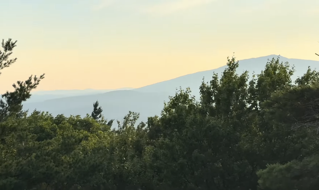
Geological Significance: This line is a deliberate traverse of a unique geological phenomenon. The peaks on the 4MT are the namesake for the geological term "monadnock"—an isolated mountain that has resisted the erosion that flattened the surrounding landscape. Composed of ultra-hard metamorphic rock from the ancient Acadian Orogeny, runners on this route are traveling across the stubborn, un-eroded bedrock of the ancestral Appalachian Mountains.
Why This Route is Notable:
-
Aesthetic Logic: The route completes a continuous, logical traverse of every major peak in the region bearing the "Monadnock" moniker or classification, leaving no major prominence unclimbed on its west-to-east trajectory.
-
Rugged Character: While it doesn't have the massive elevation of the White Mountains, the 4MT punches well above its weight class. The exposure, wind-scoured rock, and steep scrambles give it a highly technical, gritty character that demands real mountain running skills.
-
Community Potential: This route has been a massive passion project of mine. I've spent a lot of time mapping, scouting, and refining this specific line because I genuinely believe it has the potential to become a staple testpiece for the Northeast trail community. It offers a perfect blend of runnable miles and vertical scrambling, and I am excited to establish a challenge that I know local runners will want to test themselves against.
Youtube video: https://youtu.be/wNC_iWZON7k?si=n5s62d1FCcDF5Cel