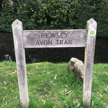
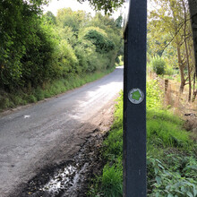
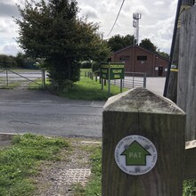
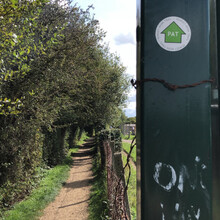
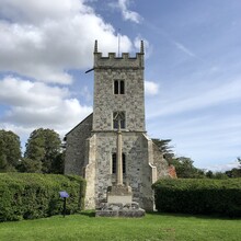
Really enjoyed this run from Pewsey to Salisbury. But it wasn’t the easiest to navigate. The first few miles and the last few miles aren’t very well signposted at all. The 20 or so miles in the middle I had no problem with at all. I also had the gpx file which I pulled from some website as back up, but it’s all wrong!
Firstly it says it’s 28.9 miles with 72m of elevation but I got it more like 26.5 miles with 300m of elevation. Whoever has made the gpx file has literally just drawn a line following the river, including all the curves where as sometimes the actual signposted route cuts straight across some of these sections, Hence why it’s actually a few miles shorter
For the most part though it’s a decent run but a lot of it is on road as well as trail.
I ran it solo and unsupported carrying all my own food and water


