I had done this trail self-supported years ago, and figured it was time to give it another go. This time, unsupported and NOBO. When I started researching things, I realized the trail had gotten shorter by about 25km according to the official GVT website. The new northern terminus was now in the little village of Belwood. I didn't mind since I remember a lot of that section taken out was road and really overgrown stuff. I was excited to start. I feel like I've improved greatly since the last attempt. I was going into this with a slightly aggravated tendon on top of my left foot. I was hopeful that it wouldn't cause me too much grief out there though. Only time will tell...
I weighed my pack before the start. 19 lbs total with some water and everything else. 2 pounds of food a day which worked out to be about 4400 calories. The forecast looked decent so I didn't bring any warm stuff really. I did bring my bug net, just in case. I was also testing out a new sleeping mat for the first time. I left my car at a nearby church(with permission) the day before, and Chantal drove me to the hotel in Dunville. Time to get some food and sleep.
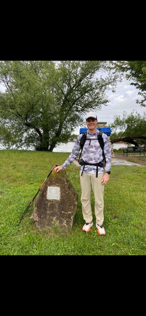
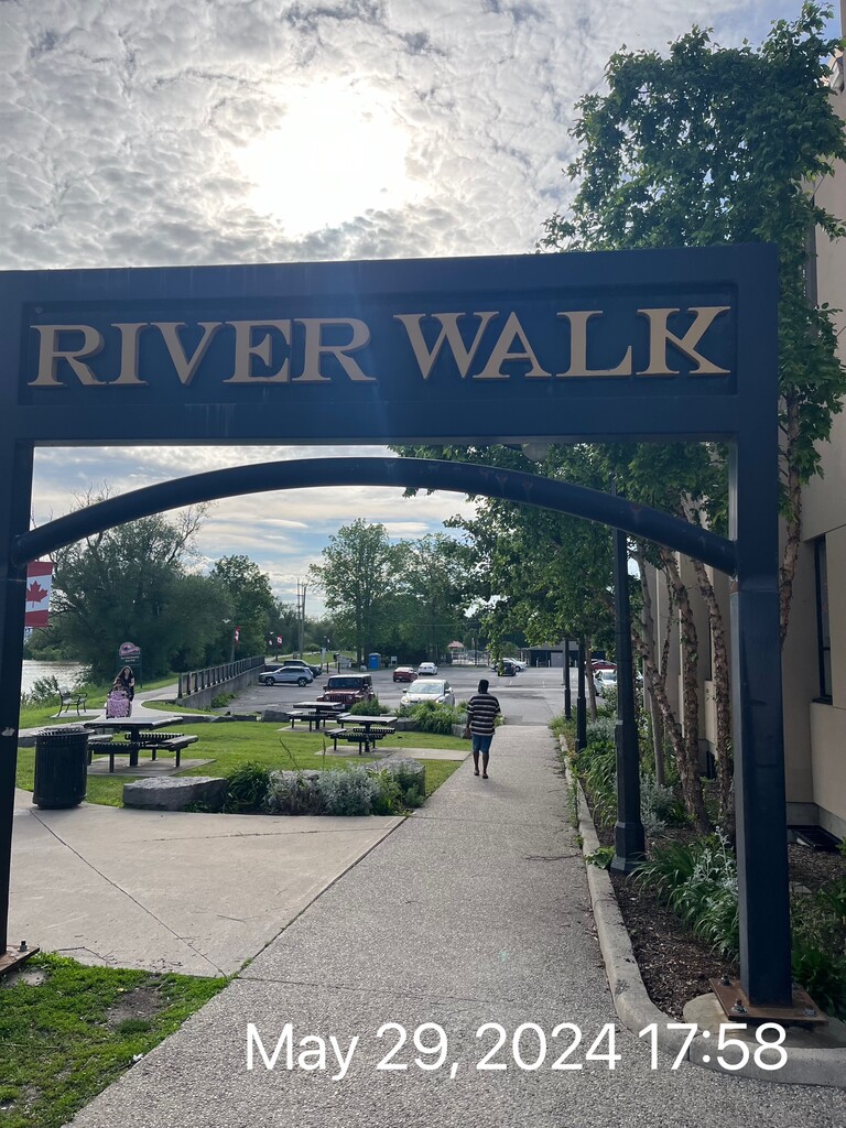
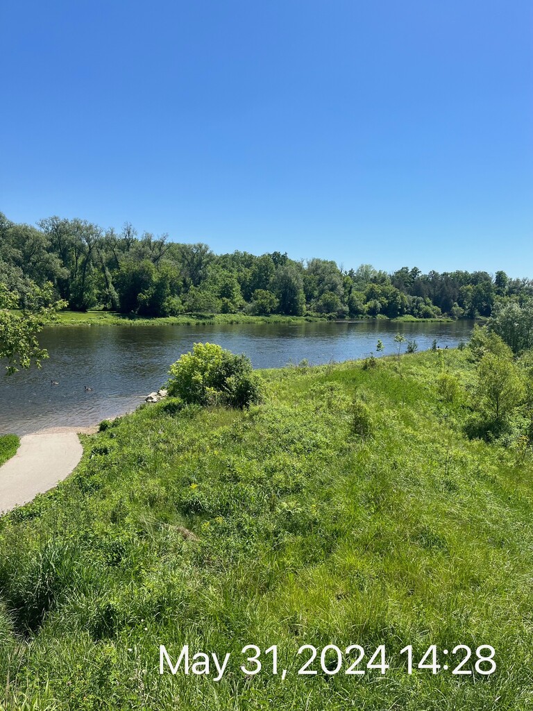
Day 1 - 43 miles. Chantal dropped me off at the start at Port Maitland and I got started at 8 AM sharp. It had downpoured the night before so everything was soaked. I was dry for about 5 minutes before I headed off road into an abandoned ATV trail. So nasty. High grass and bushwhacking. Also large pits of muddy water. Got through that then things got better. Not a lot of good water to drink this day. The river was brown and I only got a couple trickles of cloudy water. Just enough to do the job though. It still tasted fine when I mixed my electrolytes into it. I went through the town of Cayuga then Caledonia. In Caledonia I did take advantage of a public washroom right by the trail. Filled up all 3 of my water bottles here and also drank a ton. I ended up finding the perfect sleeping spot. Flat and on grass with the sounds of a swamp in the distance. Happy with the first day although I was feeling my left foot more than I had hoped.
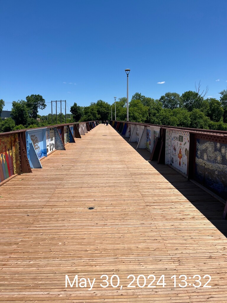
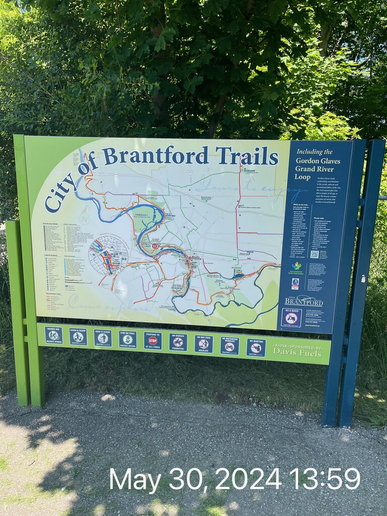
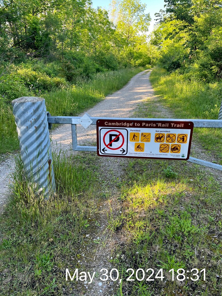
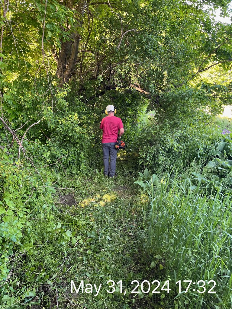
Day 2 - 42 miles. Got up after a great sleep and got going. Feet got wet almost instantly due to some of the high grassy sections. When I got close to the Grand River on this day, the water looked much better for drinking which was crucial. So I took full advantage and drank more. It was also decently warm for me. Mid 20s but there are a lot of road sections which you are fully exposed to. Also there were no clouds so I kept my sun hoodie up most of the time. I saw a lot of people walking the paved pathways through the city of Brantford. My foot was bothering me, but I did feel like I could manage it. I just hoped I wasn't doing any long term damage. I ended up on the Paris to Cambridge rail trail and got to Glen Morris. I went a little into the night and clipped my little flashlight onto the brim of my trucker hat. I had more difficulty finding a sleeping spot, but ended up hunkering down for the night. I washed my feet and tucked myself in.
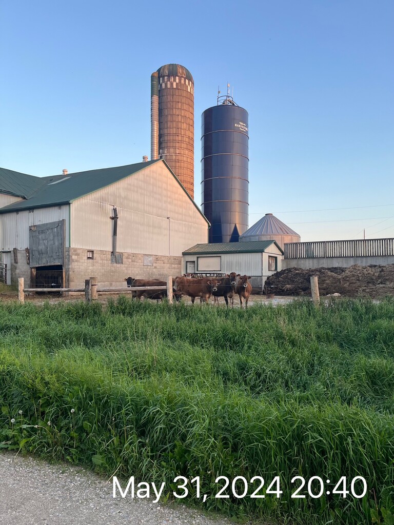
Day 3 - 38 miles. I probably slept too much but wanted the full recovery for my foot. Also, some animals decided they wanted to keep waking me up through the night. One sounded like some sort of turkey right outside my tent. Today I had to make my way through the outskirts of Kitchener/Waterloo which are big cities. I was still able to fetch a decent amount of water today. I was still enjoying the food I had packed which was great. I ended up seeing the most people on trail today. Bad timing because I ended up getting a horrible nose bleed. I had to take some toilet paper and plug my nose with it. This is where I wish no one could see me. I managed to stop the bleeding eventually though. I got through the populated stuff then also made my way through the town of Conestogo. There were plenty of road sections through this portion also. I ended up finding a good sleeping spot close to the river. It was also closer to the road than I would have liked, but the bed of soft pine needles drew me in. I fell asleep to the sound of cars driving on a highway in the distance.
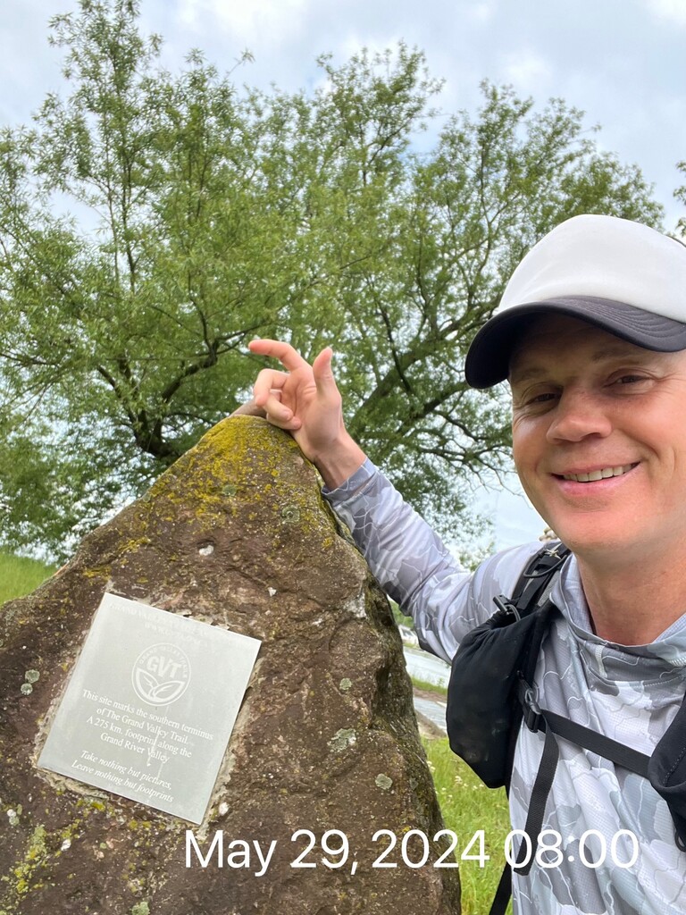
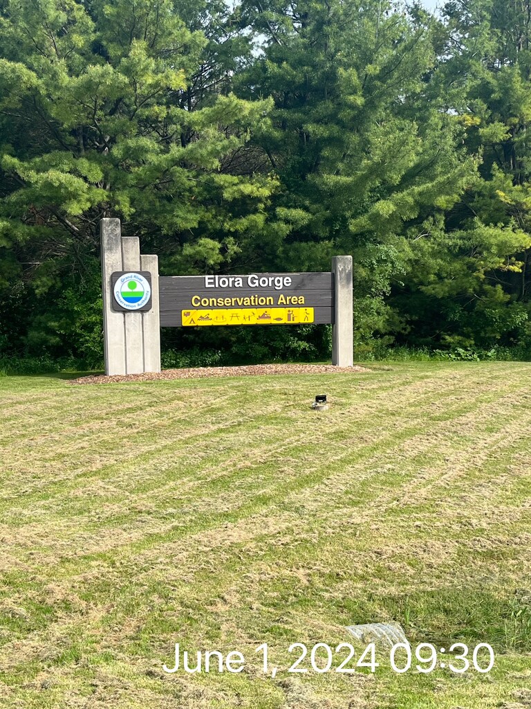
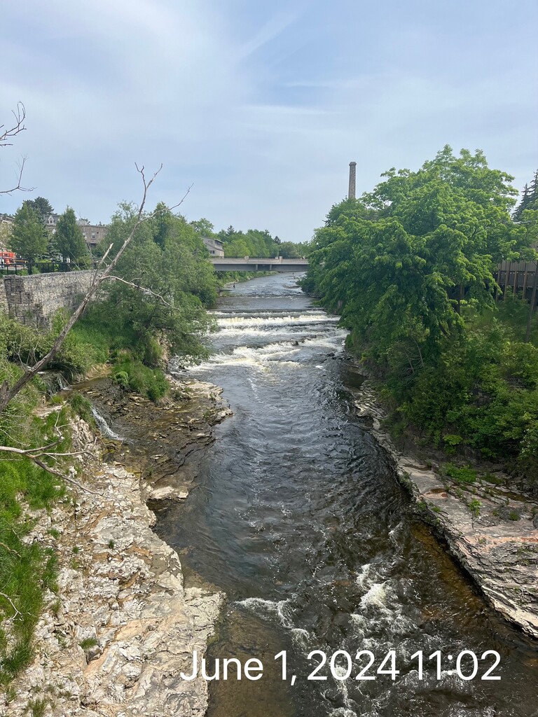
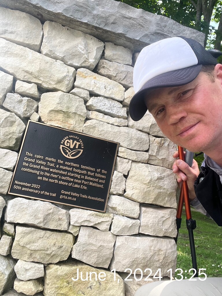
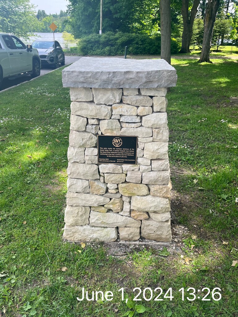
Day 4/finish - 25 miles. I woke up earlier this morning since the end was near. I knew I still had a ways to go, but if all went well, it would be a shorter day. I set my goal to break 3 and 1/4 days. I was excited to get to Elora Gorge which is a beautiful spot. There are no blazes through the campground and that's where the ONDAGO app really helped me. It's the official app used for navigation on this trail. Without it, you'd be in deep trouble. My next and last town to go through was Fergus. I definitely got some looks. I don't think a lot of thru hikers are coming through this town. I completed another section of rail trail before heading through a farmers field. I was getting closer, and was excited to be done soon. I got to Belwood Lake and went by a lot of cottages. A few more little trail sections and that was it. I crossed in the back of the baseball diamond, walked right past my car then got to the cairn. Always happy to be done. Time to go get some different food to eat and make the 2 hour drive back home.
Other than my foot, I am very happy with this. I was happy to put a bow on the GVT having now completed it in both directions. It is not an easy trail to maintain but thanks to all the volunteers who do it. Thanks to the GVT for using the ONDAGO app which makes this experience much more pleasurable. Thanks to Chantal for driving me to the southern terminus and to my family for all the support. Time to get my foot better and hopefully be ready in the fall for another big one!