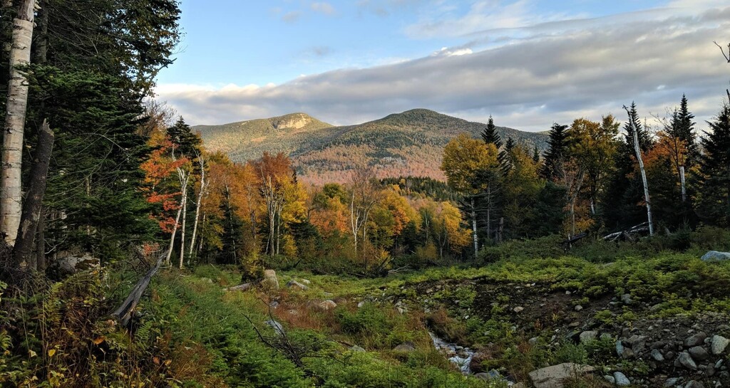
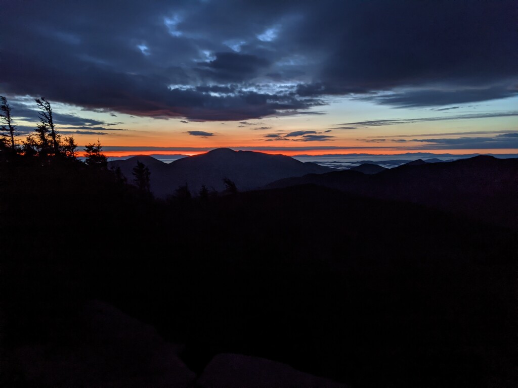
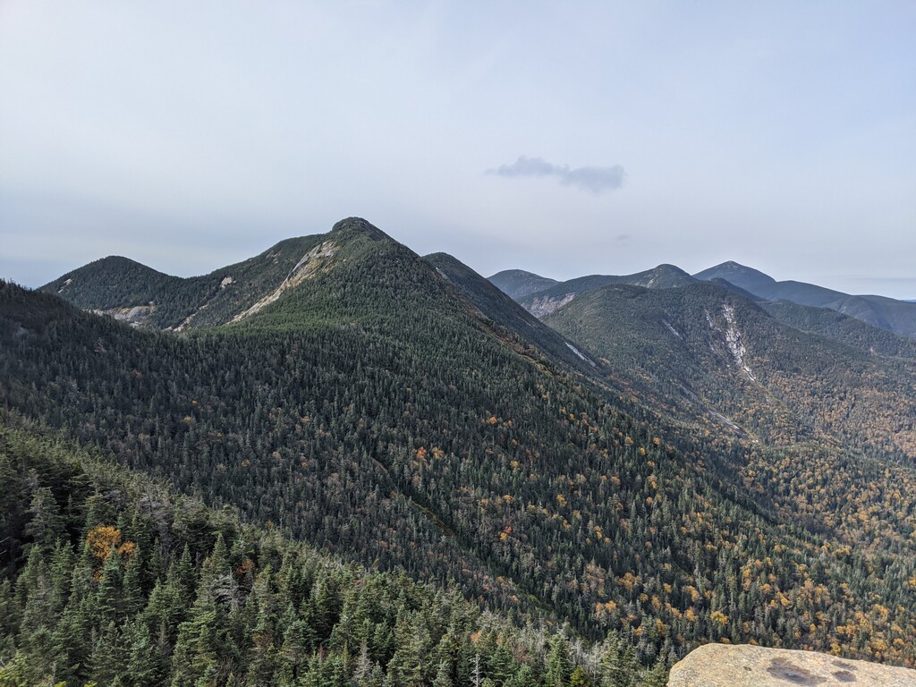
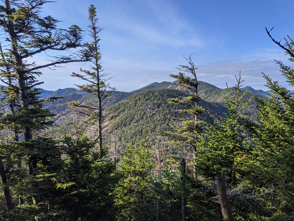
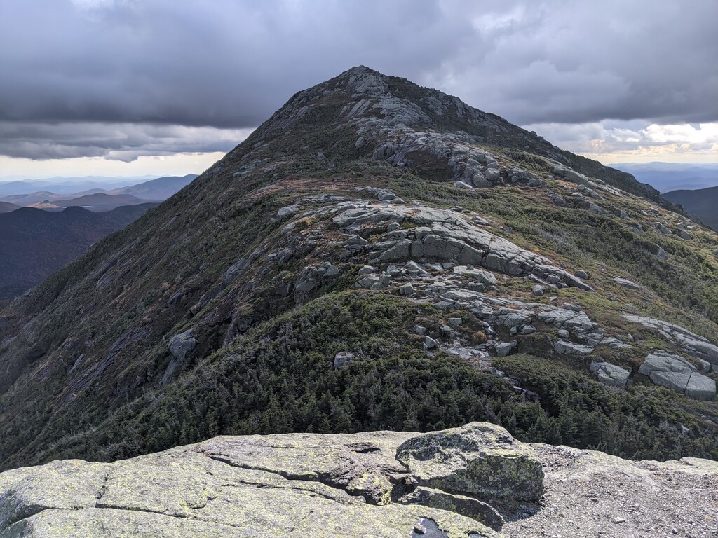
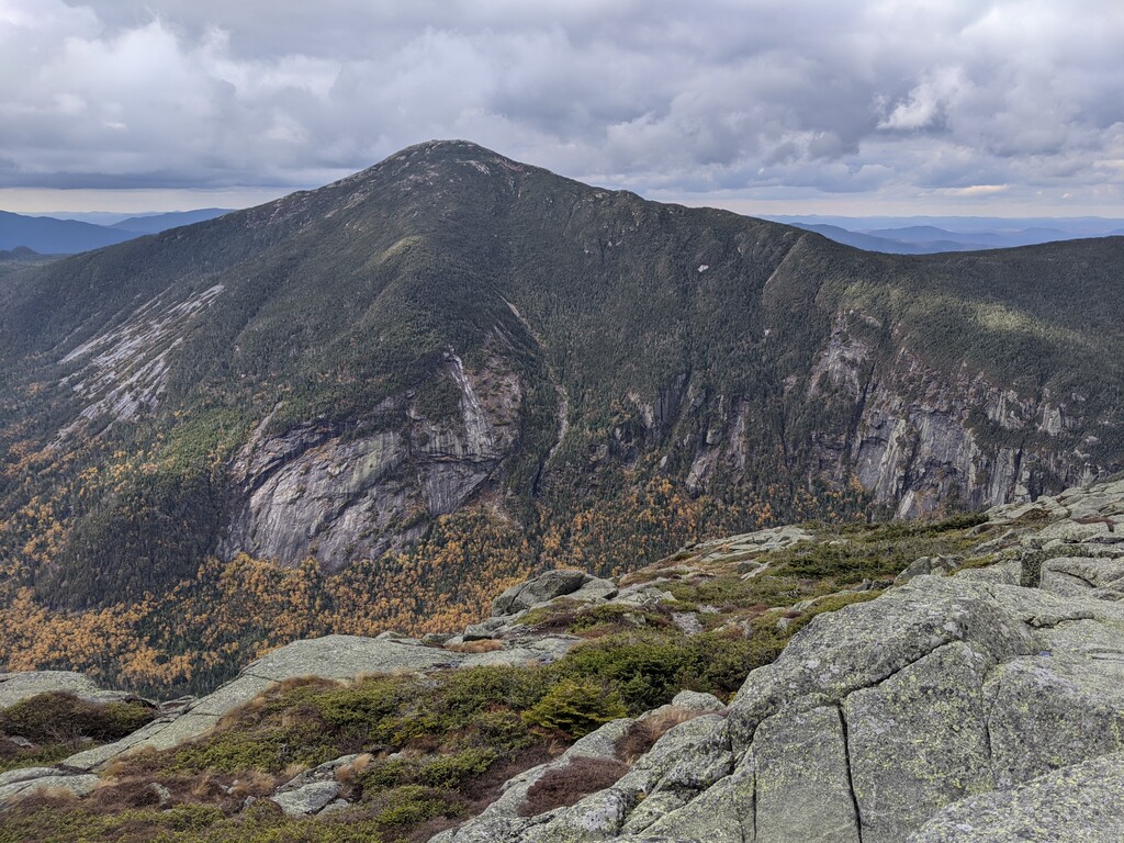
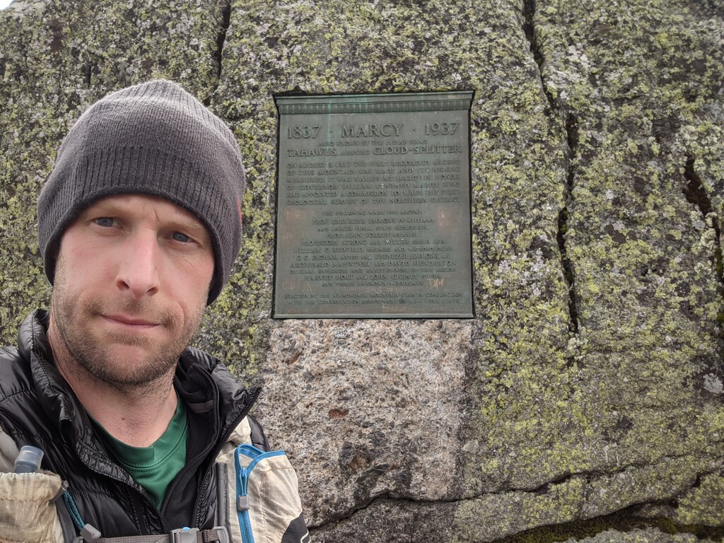
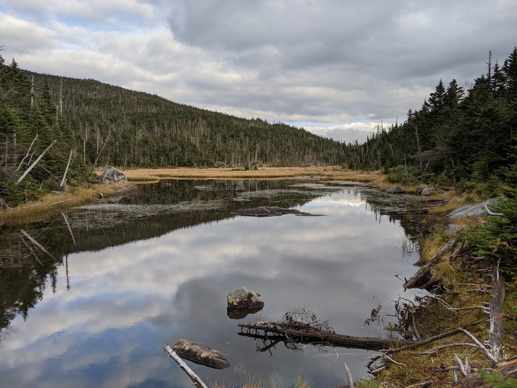
This was my second solo unsupported attempt to complete the Bob Marshall traverse in two years. This year with the road to the Garden trailhead open again I hiked in to the Johns Brook lodge where Bob had started his day back in 1932. This is where I started my gps track for the day rather than at the Garden trailhead. I choose to begin my time at the JBL just as Bob did and so that people in the future have the option of a nice 3.5 mile warm up hike/run in to the JBL or can spend the night before in the mountains like Bob did. I tapped the handrailing on the stairs to the lodge for good luck and was on my way to Big slide at 5:03 a.m. As I broke tree line facing the valley I could see the warm red hue of the sunrise off in the distance, at 6:15 I was standing on the summit of Big slide. From the summit I headed back down as the sun came up I dropped down into the valley again. Bob had gone back to the JBL for breakfast after Big Slide, I did not and crossed Johns Brook and continued to Lower Wolf Jaw to begin the Great Range section of the day. The trails were wet with running water in many places and there was some ice from time to time from the freeze overnight. By 3:30 p.m I was on the summit of Marcy and headed to Skylight. After a quick out and back of Skylight I dropped to lake Tear then was on my way to Lake Colden and the MacIntyre range. By the time I reached Boundary peak the sun had set, the clouds moved in and the winds were picking up. With a headlamp and 10-15 feet of visibility I tagged Iroquois and slowly made my way up and over Algonquin while trying not to loose my way in the cloud cover . By the time I made it to Wright the clouds had cleared so I was able to see the bright moon and the lights of Lake Placid. I headed down and made my way to Mt Joe and at 11:29 I was headed down from the summit of Mt Joe to the trailhead at the Loj Road. I stopped my tracker at the Loj road where the trail ends across from the information center.