Athletes
Route
Route variation
TH-to-TH
Gender category
Female
Style
Unsupported
Finish date
Total time
1h
22m
24s
Verification
GPS track(s)
Barometer-Mtn.gpx313.97 KB
Report
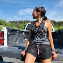
There is a mismatch between the summit in the USGS topo maps (which matches the highest physical point) and my phone navigation app and gps mapping software, so I wandered a bit on the summit to avoid coming up short. I wore a running vest with 2/3 of a flask of water, my spot device, a bear bell, and a phone.

