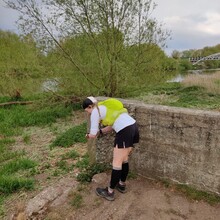
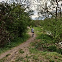
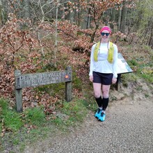
Found the route on this site and thought it would make great 100 mile training / a great way to link Strava heatmaps (!).
Crewed by my other half, had regular (10k-16k) resupplies / moral support / to simulate aid stations in a race. Plenty of great places along the route to do this, but we used the stops listed below due to easy road access / free parking.
It's a lovely route, reasonably well signposted but missing some arrows within the towns. The first 45km or so (to the end of Cromford canal) is mostly beautiful, then it's varied, and the last bits are...somewhat uninspiring. Definitely possible to do the whole route in road shoes if it's been dry, and it's all incredibly runnable. In late spring there is a LOT of livestock on the route so take appropriate care across fields.
A cracking route and a brilliant day out.
Route details / stop offs used:
START: S33 0BY
Leg 1: Hetherdene Car Park to Grindleford
Distance: 12km
Check point 1: Grindleford / Grindleford community shop & café (layby) S32 2JG
Total distance: 12km
Leg 2: Grindleford to Rowsley
Distance: 14.5km
Check point 2: Rowsley / Old Station Close public car park DE4 2EL
Total distance: 26.5km
Leg 3: Rowsley to Matlock Bath
Distance: 11km
Check point 3: Matlock Bath / Station Yard (toilets!!) DE4 5JE
Total distance: 37.4km
Leg 4: Matlock Bath to Belper
Distance: 16km
Check point 4: Belper – end of the Orchard DE56 1DF
Total distance: 53.5km
Leg 5: Belper to Darley Abbey
Distance: 9km
Check point 5: Darley Abbey / Starbucks Car Park DE21 5DA
Total distance: 62.6km
Leg 6: Darley Abbey to the Blue Jay
Distance: 10km
Check point 6: The Blue Jay DE21 7HX
Total distance: 72.6km
Leg 7: The Blue Jay to Finish
Distance: 10.4km
Finish: Derwentmouth
Total distance: 83km


