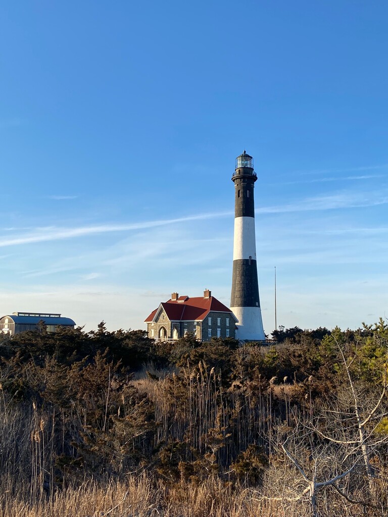
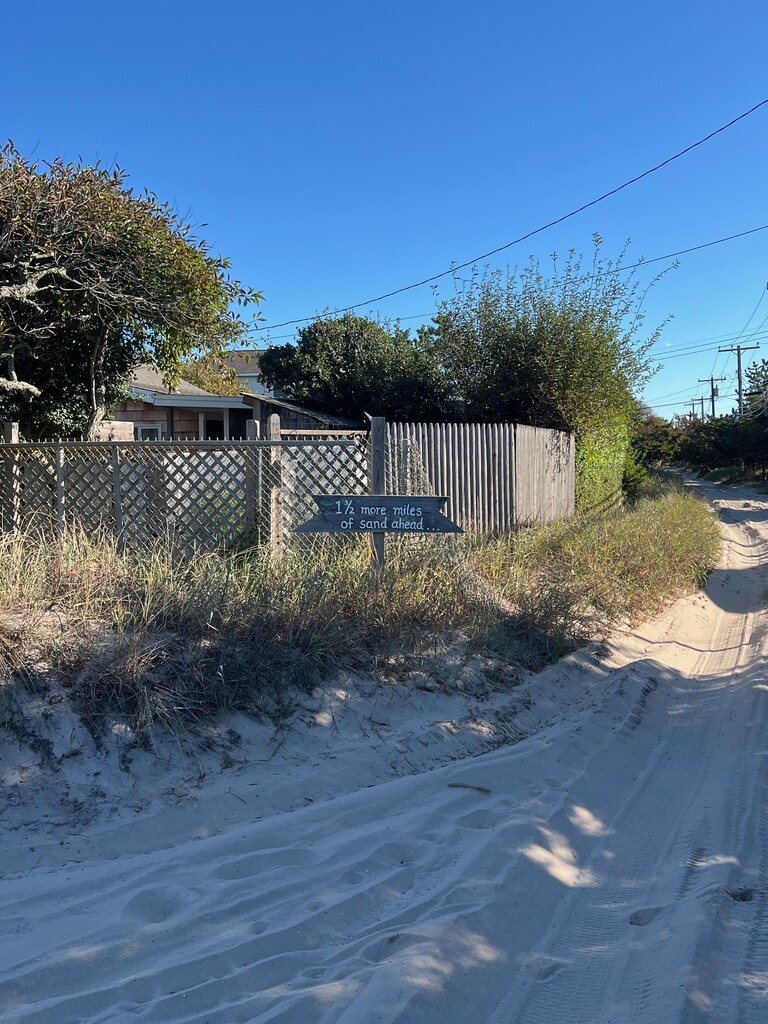
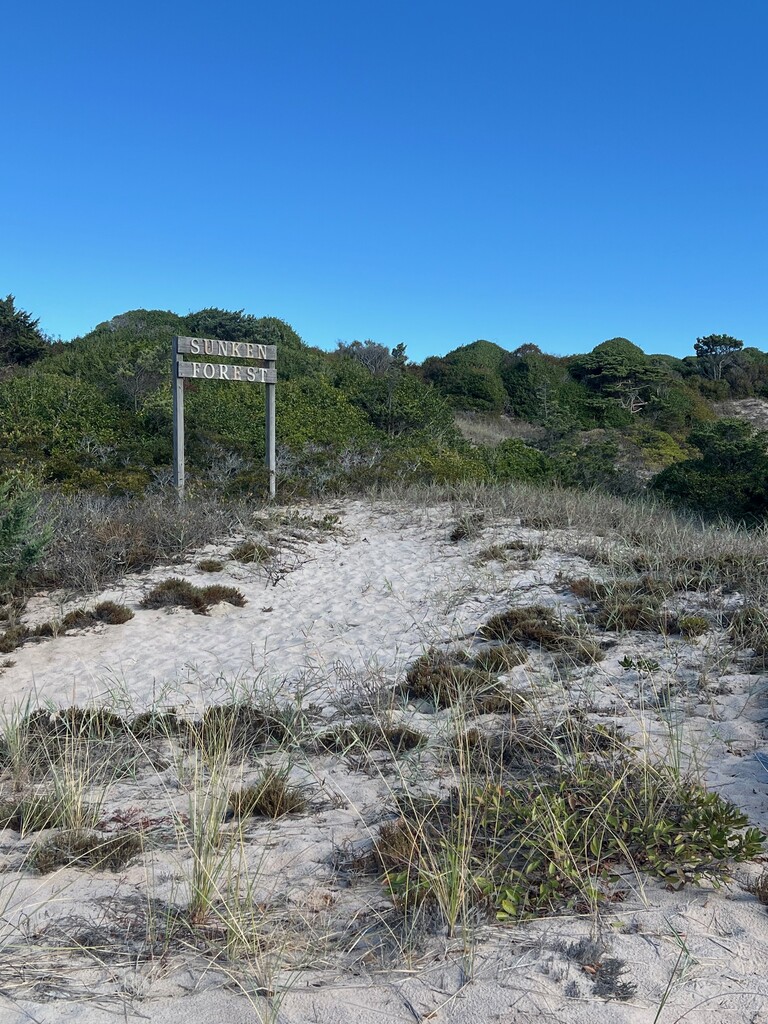

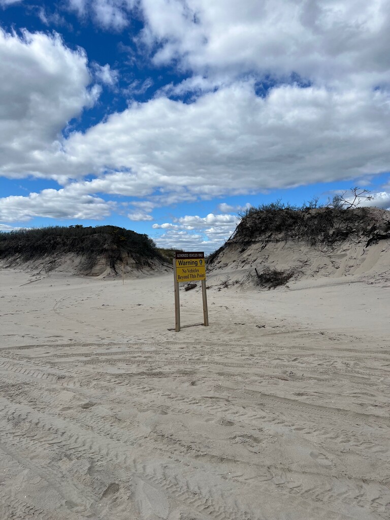
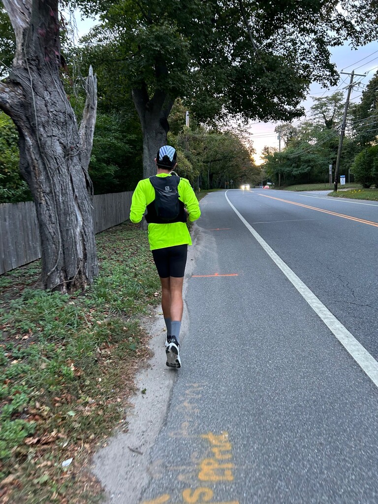

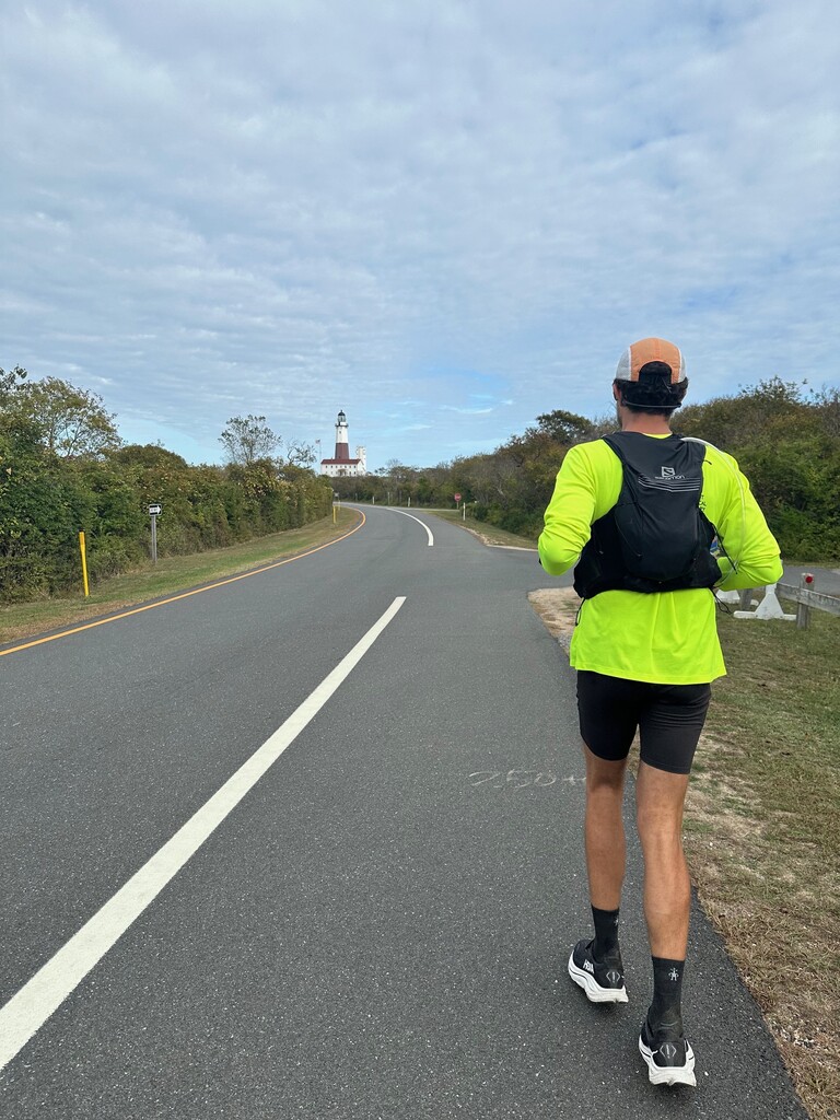

Started at the base of the Fire Island Lighthouse at 9AM. The weather that day was perfect with good temps and light variable wind. I've been running on Fire Island for a long time, so I'm familiar with the terrain and the challenges it presents - mostly the soft sand and off-camber shoreline. I arranged for support to meet me at Watch Hill to resupply food and water - enough to get through the Otis Pike High Dune Wilderness Area, roughly 7 miles. I also arranged for support at the end of this section at the Wilderness Area Visitor Center at Smiths Point - where the sand ends and the road begins. This is a good spot to change out shoes and socks from the sands in the first 21 miles or so. I used a big bucket of water to wash my feet and get rid of any leftover sand. From here there is easy access to support - either from a crew or stores along the way. The 5 or so miles up William Floyd Parkway from the beach to Montauk Highway are kind of a false flat steady uphill, it's not very noticeable but it's good to know. I chose to stay on Montauk Highway for the remainder of the distance, not only because it's the most direct route but also because there is a decent shoulder and/or sidewalk for the majority of way. Some sections can be a little sketchy with a thin/non-existent shoulder, so just be aware and pay attention - especially at night. I had a crew member join me for some miles once the sun went down (more lights, more visibility). I decided to stop and rest for a few hours around 11:30PM on Friday evening. I picked up again before sunrise and continued on Montauk Highway. The weather Saturday was great again, albeit a little warmer. I was able to resupply food/water as needed relying on a support crew to meet me roadside or in a parking lot on route. Once I came through Amagansett and into Montauk, I took the split in the road onto Old Montauk Highway - there is generally less traffic, and the scenery is nice. These last 10 miles or so make up the majority of the vertical gain on the route, good to keep in mind. I resupplied for the last time once I came into Montauk town with about 5 miles to the Lighthouse. I reached the Montauk Point Lighthouse mid-afternoon on Saturday. Overall, this route is great, and I really enjoyed the experience.