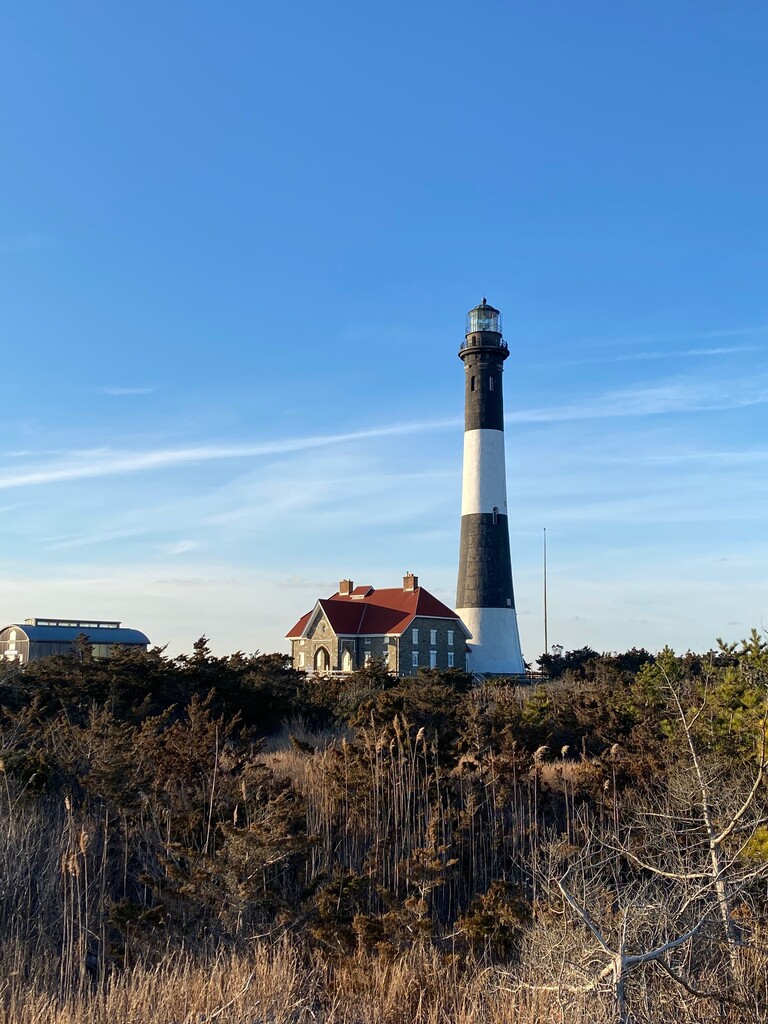
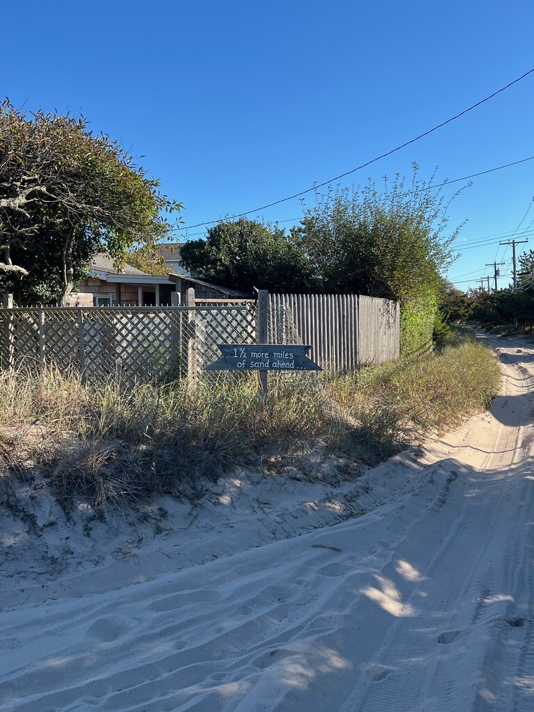
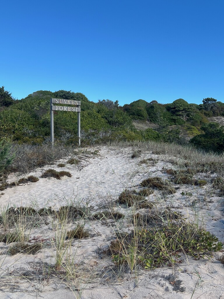
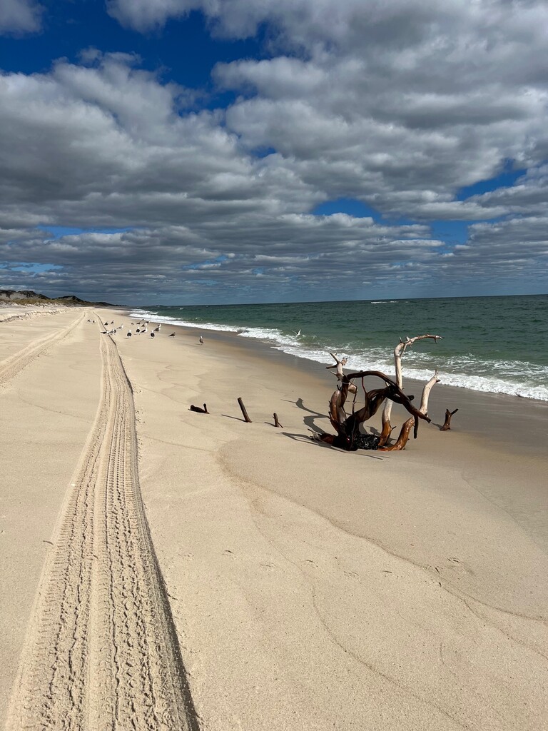
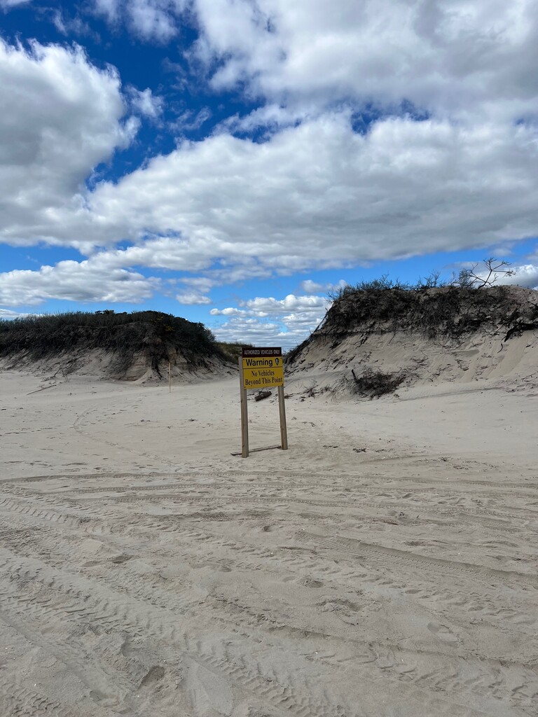
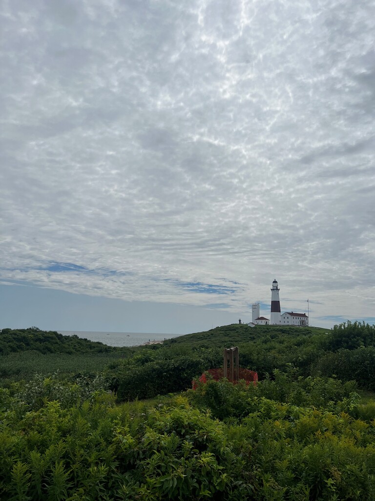
This is a 90 mile open course point to point route that links the two most historic Lighthouses (Fire Island Lighthouse and Montauk Lighthouse) on Long Island via Fire Island National Seashore and Montauk Highway. The first 21 miles cross almost the entirety of Fire Island National Seashore and is composed of a mix of gravel, boardwalk and loose sand. The final 7 miles of this sector crosses the Otis Pike High Dune Wilderness Area - The only federally designated wilderness area in New York State, and is 100% loose shorefront sands. Access to this area is limited to foot traffic from Watch Hill to Smith's Point - make sure you have enough food and water to get through this area, it is completely desolate and there is nowhere to resupply. Check the tides to pass the Old Inlet. From the Wilderness Area Welcome Center at Smith's Point, it's paved roads all the way to Montauk via Willam Floyd Parkway and Montauk Highway. Since it is open course you may scout alternatives. The route passes through scenic East End towns and villages as well as vineyards and farm lands. The route ends at the lighthouse in Montauk Point State Park - the views are incredible and it is a perfect ending to this amazing route.