
FKT Report — English
On 1 August 2026, I completed the Pico Tesorero from Fuente Dé out-and-back route in a total elapsed time of 3 hours, 19 minutes and 54 seconds.
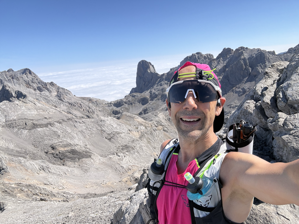
The attempt started at the clearly identifiable gate at the entrance to the Fuente Dé meadow, next to the cattle grid. From there, I followed the mountain route recorded in the submitted GPX file to the summit of Pico Tesorero, at 2,570 metres above sea level, before returning to the same starting point.
The complete route measured approximately 19.4 kilometres with 1,660 metres of elevation gain. The activity was recorded continuously with a Garmin Fenix 8, with autopause not used for the official elapsed time. The submitted time includes all stops from the moment of departure until returning to the starting point.
I completed the route alone and carried all the food, water and equipment used during the attempt. I received no external assistance.
This was not originally planned as an all-out FKT attempt, but as a controlled mountain training session. After completing the route and confirming that no existing FKT appeared to be registered for this ascent and descent, I decided to submit the activity as the initial benchmark for the route.
The GPS track, public activity link and supporting photographs are included as verification.
Versión en español
El 1 de agosto de 2026 completé la ruta de ida y vuelta Fuente Dé–Pico Tesorero–Fuente Dé en un tiempo total transcurrido de 3 horas, 19 minutos y 54 segundos.
El intento comenzó en la portilla claramente identificable situada en la entrada a la campa de Fuente Dé, junto al paso canadiense. Desde allí seguí el itinerario de montaña registrado en el archivo GPX presentado hasta alcanzar la cumbre del Pico Tesorero, situada a 2.570 metros de altitud, antes de regresar al mismo punto de partida.
La ruta completa tuvo aproximadamente 19,4 kilómetros y 1.660 metros de desnivel positivo. La actividad fue registrada de forma continua con un Garmin Fenix 8. Para el tiempo oficial se ha utilizado el tiempo total transcurrido, incluyendo todas las paradas realizadas desde la salida hasta el regreso al punto inicial.
Completé la ruta en solitario, llevando desde la salida toda la comida, el agua y el material utilizados durante la actividad, sin recibir asistencia externa.
La actividad no se planteó inicialmente como un intento de FKT al máximo esfuerzo, sino como un entrenamiento de montaña controlado. Después de completar el recorrido y comprobar que no parecía existir un FKT registrado para esta ascensión y descenso, decidí presentar la actividad como primera referencia oficial de la ruta.