I originally had planned a 30 mile route that started at Raíces, traveled up to Pico del Fraile via the Cañada del Oso route, then down the other side of the mountain and back up. We visited the rim the day before to scope out the area and hike the peak. The area around the rim doesn’t have much in the way of concessions so I figured water was going to be a bit of an issue which turned out to be the case.
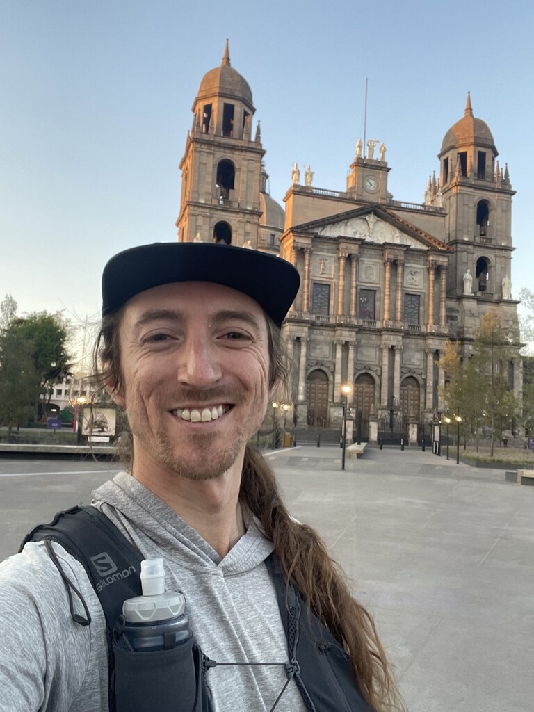
At some point I came up with the idea that it would be fun to skip the first car/bus leg and start running from the Toluca downtown center where we were staying.
After planning out a route with 2 stops for water (one in Santiago Tlacotopec and then the second at Alimento Doña Trini, a co-op that provides food and water to bikers along their way up the mountain) I figured the route to the peak could go.
I was very interested in the full rim route and would leave going for it or not to how I was feeling in the moment.
The mornings here in Toluca are rather spectacular. The sun rises behind the mountains between Toluca and Mexico City and illuminates the sky with amazing red hues. Unfortunate, it’s likely due to the smog that hangs around due to the elevation and surrounding mountains.
I chose to start from the Plaza de Merites since it seemed like a central spot in the center. From there the route traveled along P.º Cristóbal Colón which is has a great large path on both sides.
In my preparation I had failed to realize that with my early start time I would arrive at the tienda in Santiago Tlacotopec well before it opened. I started with one full soft flask and decided to stop pretty early on, after the realization, to fill a second flask. There were places open further in Santiago Tlacotopec, but I wasn’t willing to risk it and have to make the 13 miles to Doña Trina’s with 500ml.
As I reached the edge of town, a local yelled at me and pointed to another way saying it was better and that the way I was going was “feo.” After I asked a few more questions about his feedback he grew impatient and waved me off so I continued on my way.
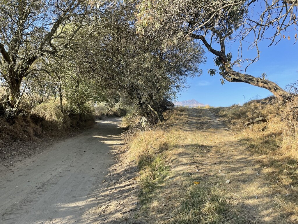
The street turned to dirt road which too often felt like running in sand. It certainly was rural and spotted here and there with homes and fields. The scariest part of the run came during this relatively mellow section when a pack of 15 or so dogs saw me coming and started barking and heading toward me. I slowed to a very unthreatening walk and continued toward them until they deemed that I meant no harm.
A few miles after that I started on the true ascent and ran into a few runners with numbered bibs on. Unknowingly, I found myself at the back of a 50k race! Most people were heading down and we exchanged kind words and high fives as we passed each other. Not only was the energy uplifting, but there were a few aid stations along the way where I was able to fill up again. There was even one right outside the Co-op that filled my second and third flasks!
While on the one hand this was quite lucky, on the other I forgot to implement my plan which was to chug at least 500ml at this stop and take off with a full 1.5L for the final ascent and possible rim route.
I didn’t see many more runners after that as I chose to hike the more direct trails through the forest while they were taking the much more gradual switch back road. I’m not sure if the direct routes were any faster since they took a nice toll being quite steep and not maintained.
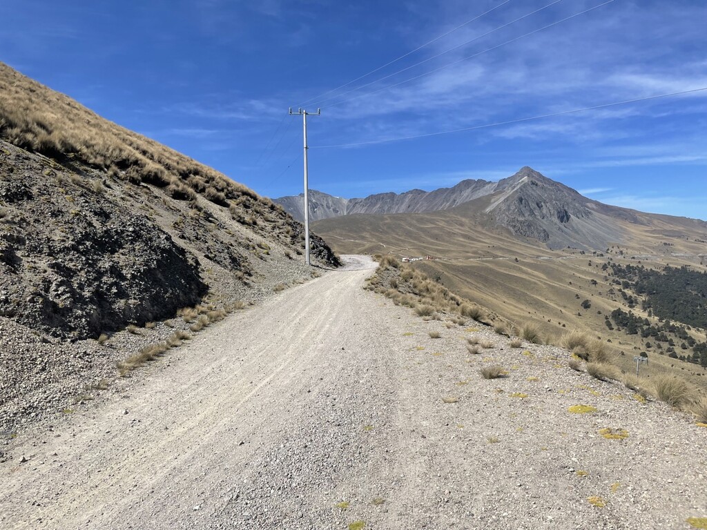
I then reached the dirt road leading to the park entrance which was very runnable. I tried to see if any of the workers would sell me their water, since I had less than a liter left, but my luck had run dry. The route up to the rim isn’t the steepest, but the altitude made it pretty challenging. Once I reached the rim I checked the time (10:33) which was much faster than I was anticipating. The hope was to make it there by 12 so that if the body was feeling good I would feel confident I had enough time for the full rim route.
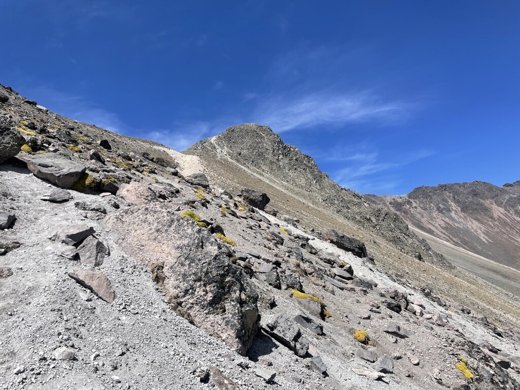
After barreling down into the crater and past el lago de la Luna, I started the final ascent which holds a steep trail back to the rim. One of the park rangers/workers stopped and asked where I was going. She advised that I not go for the full time route as ropes were needed for some sections. This wasn’t what I wanted to hear and wasn’t what I read online, but after few minutes of back and forth, I was again on my way.
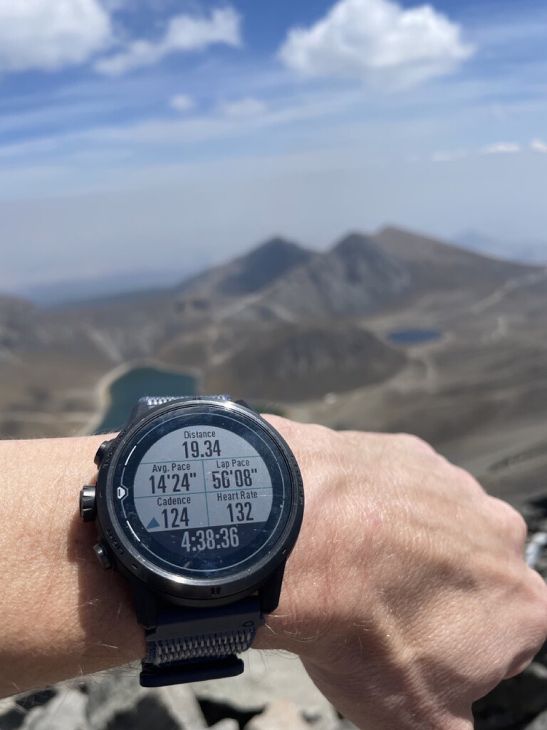
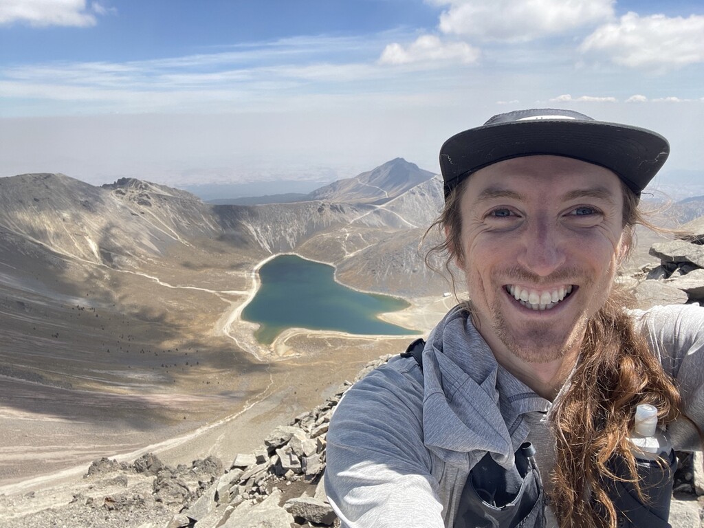
It was quite a bit busier than the day before. It was really nice being familiar with this section and was able to pass a dozen or so hikers/climbers before finally reaching the peak right around 11:33am! After a moment of enjoying the crowded peak, I snapped a photo of my watch for what I’ll consider my official total time from Toluca to the Pico de Fraile at 4 hours, 38 minutes and 36 seconds.
After chatting with those on the peak for a bit and getting confirmation that the rest of the rim route was no harder than what I’d already done, I decided to continue on at a much chiller pace. I was basically out of water so I packed my flasks with snow and waited for it to melt. I met a few more cool folks along the way and finished up the rim. Overall if you have experience climbing and/or ridge walking, it’s not technically difficult. I never felt outside of my comfort zone at any point. The altitude can add a serious element if you aren’t acclimatized and are sensitive to it.
From the entrance, instead of getting a dusty truck bed ride down, I decided to run the 2ish miles down to the parking lot, taking a more direct trail down at one point. I stopped at one of the restaurants there where a proper feast ensued (highly recommend the mushroom soup if you ever find yourself there). Then it was another 3 miles to Raíces where I caught a bus back to Toluca.