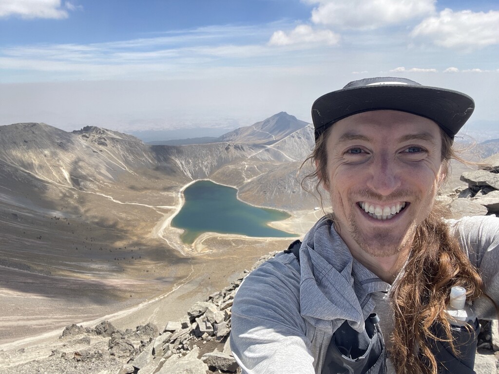
While climbing up to Pico del Fraile when visiting Nevado de Toluca (also known as Xinantécatl), the idea of running from the heart of Toluca all the way to the peak came to me. Nevado de Toluca is the fourth highest formation in Mexico and reaches up to 15,387ft / 4645 m. It seems to be a very popular place for bicyclists to ride up to from Toluca. I also saw a handful of runners at the entrance and even witnessed a 50k race at the bottom of the volcano.
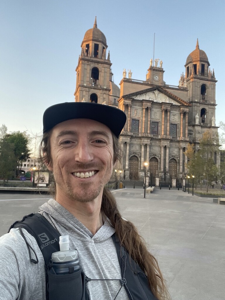
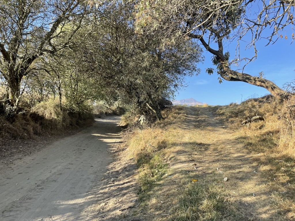
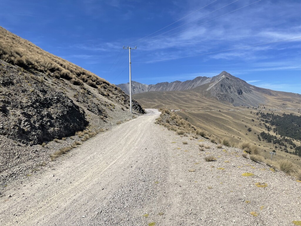
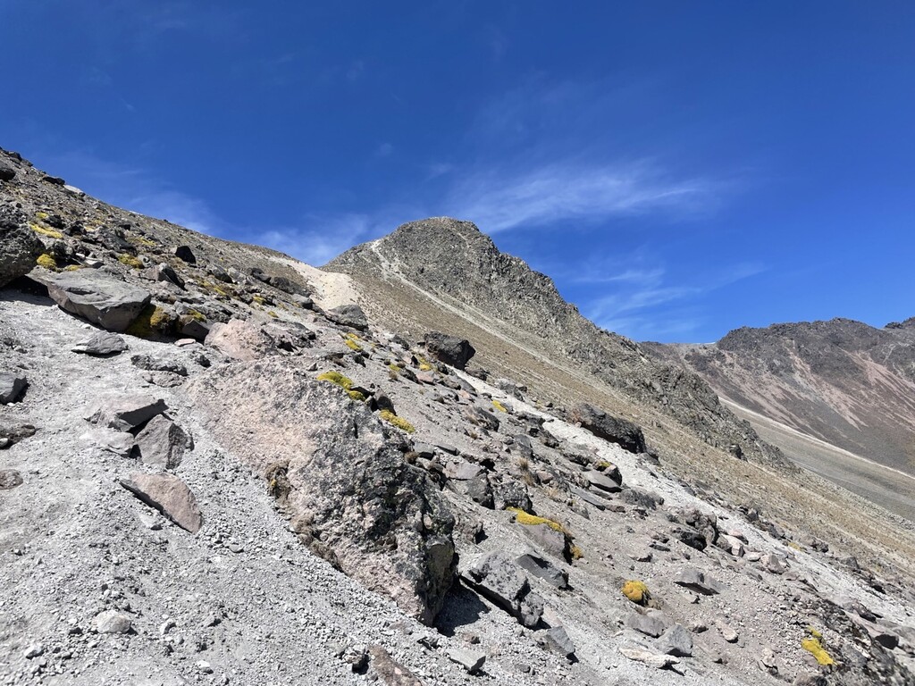
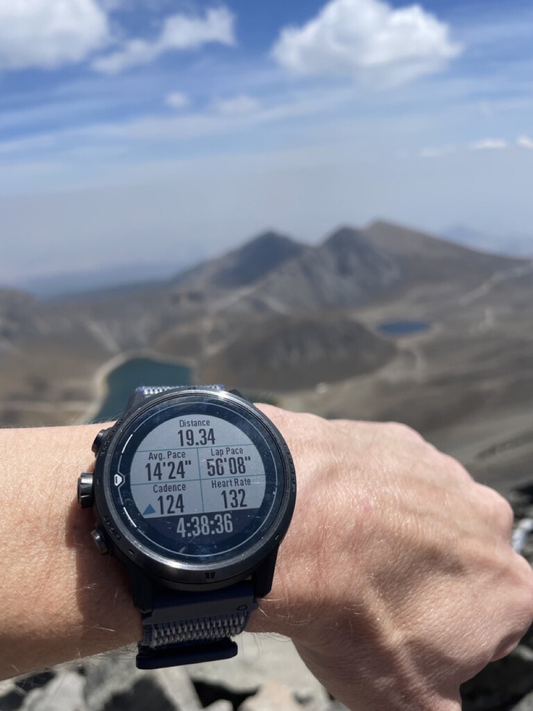
I chose to start at the flagpole in Plaza de los Martires because it was both a beautiful spot and for it being a central location in Toluca's Centro. From there my route took me down Avenida Paseo Colon, which seems like an important arterial avenue and a great one to run on. From there I ran through Santiago Tlacotepec until I hit dirt roads that took me to the main climbing up the volcano. After a water stop at/outside Dona Trina's, it was steep and direct trails until the dirt road that brings you to the Nevado de Toluca entrance. After that it was up the trail to the rim, down into the crater, and then the final ascent up to Pico del Fraile. This is the most technical part of the route, but isn't anything more than Class 3 scrambling if you take the easiest path. A more detailed write up can be found on my Strava activity.
The spirit of this FKT is to make your way from start to finish in the fastest time irrespective of following any specific route. I think there are certainly ways to optimize the route that would help with quicker times. The only considerations are to stay off of private property, which is a general rule of FKTs, and off of the sensitive areas that are clearly marked within the crater.