

Wyoming Range National Recreation Trail FKT Report
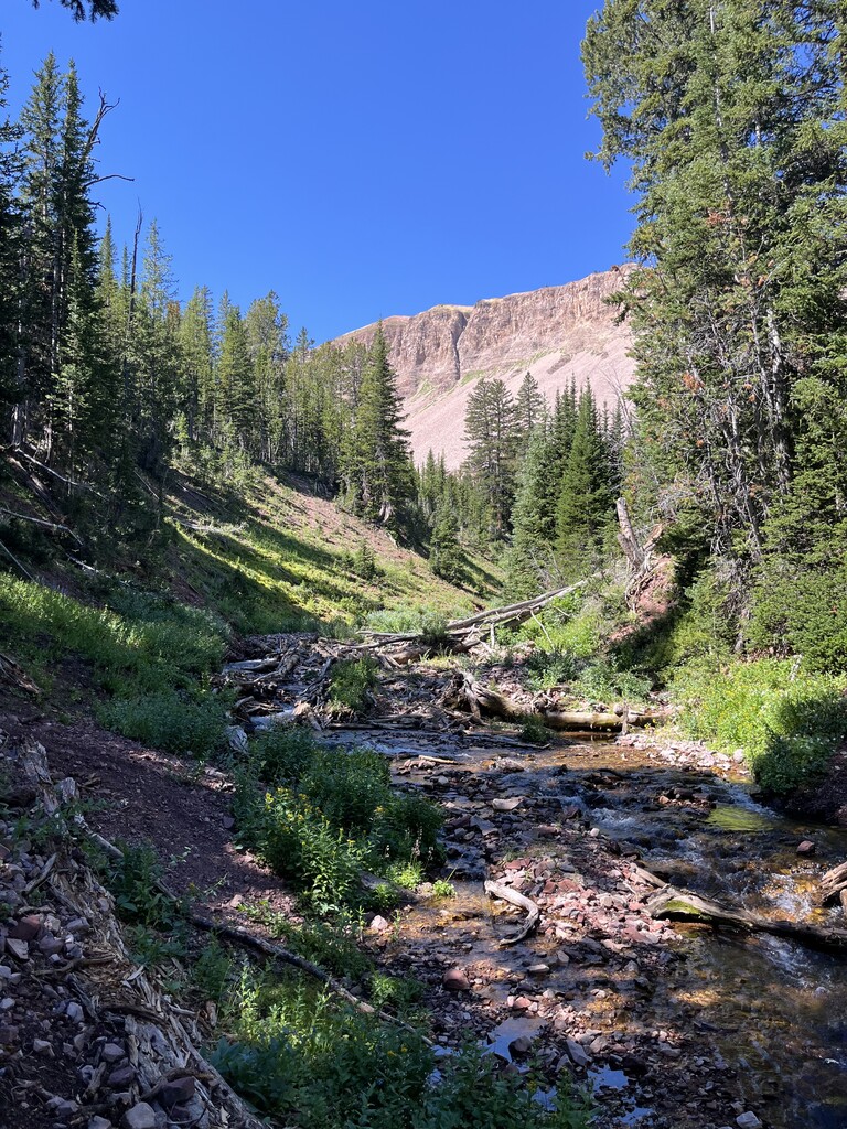
The Wyoming Range is an overlooked range in western Wyoming bordered by the Salt River on the west and high desert on the east. I'd explored it for years hunting and fishing. Nobody had run the full 80 miles in one continuous push from South Piney Trailhead to Bryan Flat.
I spent every weekend after snowmelt scouting the route, mapping water sources and blow-down sections. Even with all that prep, the amount of non-existent trail and downed trees above treeline was worse than expected.
Josh Ferenc and I ran the entire route together. We've raced for years and knew how to push through when things got hard. My brother Hunter crewed us at McDougal Gap and Blind Bull for resupply. We filtered water from creeks and springs the whole way and saw no one else for 80 miles.
We started at 6 AM through burned-out forest in cool weather. Route-finding above treeline between Wyoming Peak and McDougal Gap was tough with no trail—we followed the GPX we'd created. Heat slowed us in the afternoon but we got relief dropping off the ridge.
The last 30 miles were mostly off-trail in darkness through the most remote section. We came off Pickle Pass in freezing temperatures at sunrise with 17 miles left down Willow Creek to the finish. We finished in 28 hours 39 minutes.