The Bartram Trail is 220 miles with 38k ascent and another 38k in descent. The Bartram is breathtakingly beautiful, and soul crushingly difficult. The terrain is steep, rocky and root and rut filled. There are countless stream and river crossings. For me there were terrifying Rhododendron forest mazes that I had trouble navigating in the dark.
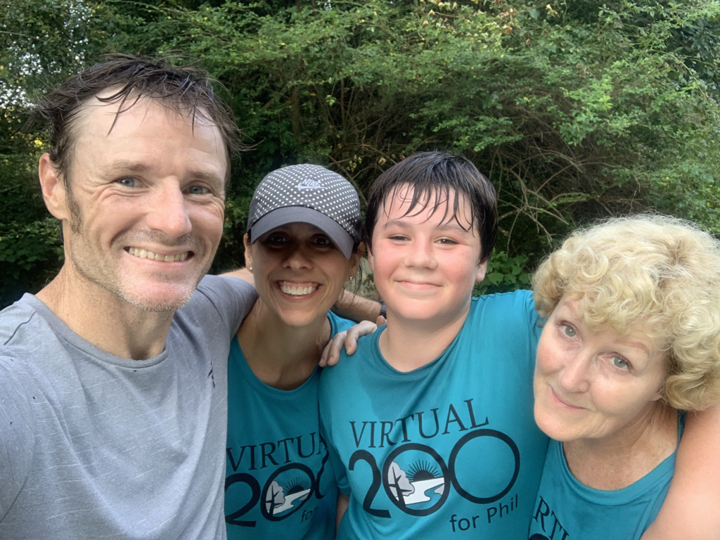
It was slower, it was harder and it exposed more of me to myself. And none of it stood a chance of happening without my crew. Stacey, my Mom (Anne Gray) and son Jeffrey. I was so proud to represent PHEEL GOOD Foundation, Inc. and VIRTUAL 200 for Phil, thank you so much for your support!
Current FKT Holder Matt Kirk took the N>S bound route and I'm not sure if he took the Buckeye Creek or the Hickory Knoll TH. I went S>N and then turned around and did the double. I recorded with Gaia (gpx) on my phone and on my Garmin Fenix 6x both tracks included, for some reason garmin won't let me download that file. This is the file that goes to strava and I will include that also. For the sake of clarity I'll only reference the gaia track. But please feel free to use whichever for verification purposes. Note:the data recorded in each is different. Please feel free to use whichever you would like each is impressive for different reasons. Links to both my garmin and strava run profile.
Times below off Gaia track
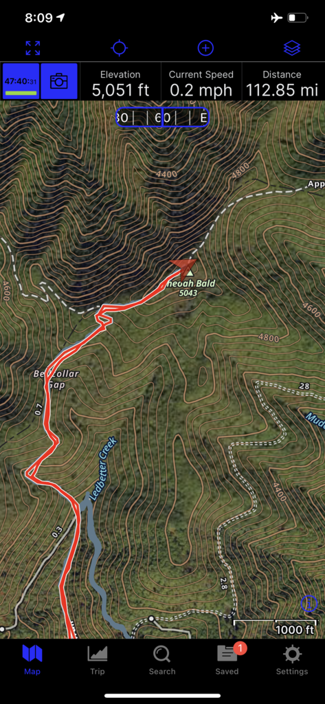
FKT S>N: 47:40:31 taking the Buckeye Creek Trailhead (screen shot included at the half way point to reference the S>N FKT)
FKT S>N>S: 105:48:38 taking the Hickory Knoll TH
I will end up posting a video on YouTube and can update you once it's posted. Channel is: Off and On the Path to Ultra