Athletes
Route variation
One way
Multi-sport
No
Gender category
Male
Style
Unsupported
Start date
Finish date
Total time
1h
19m
33s
Verification
GPS track(s)
Celandine_Route_.gpx422.16 KB
Report
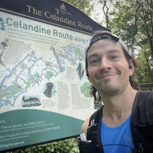
The route is easily accessible with the underground/train network with Pinner station on one end and a short walk to West Drayton on the other one. The route felt like a green corridor (broadly following the river Pinn which is more like a stream) across suburban London, and could be a good way to link other routes when exploring the area (such as Ruislip Woods near the northern end and the Grand Union Canal on the southern end). The path was flat, and mostly on trail/mud/grass. I was carrying a hydration belt given it was a hot day, and did not feel the need to fuel (the route being relatively short).


