Route: Celandine Route (United Kingdom)

Submitted by juliencazorla on Sat, 05/29/2021 - 08:03am
Location
United Kingdom
Distance
16.7 km
Vertical Gain
70 m
Description

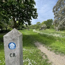
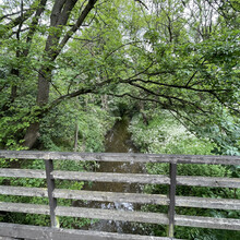
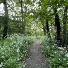
The Celandine Route is a London trail following the river Pinn from Pinner to the Grand Union Canal, through green spaces, grassland, woods and meadows. It was named after the lesser Celandine, a plant growing in woodland with heart-shaped leaves and flowering in early spring. The route is within the Hillingdon borough of London, is well marked (either with 'Celandine Route' or 'CR' signs, or with a logo shaped like the Celandine plant), and is further described with a number of landmarks along the way on the Hillingdon council website (https://www.hillingdon.gov.uk/article/4883/Celandine-walks). The route is flat and fast, has relatively few major road intersections but can get muddy after wet weather.

GPS Track
Images