


Route
Starting at Charlottes Pass car park the Main Range Walking Track (MRWT) was followed anti clockwise towards Twynam, then South to Mt Clarke. Then an anti clockwise loop to Mueller, Alice Rawson, Abbot and Du Faur Peaks before returning to the MRWT to ascend Kosciuszko, Etherridge Ridge and the Rams Heads. Finally a long trek North to return the car park.
The Trip
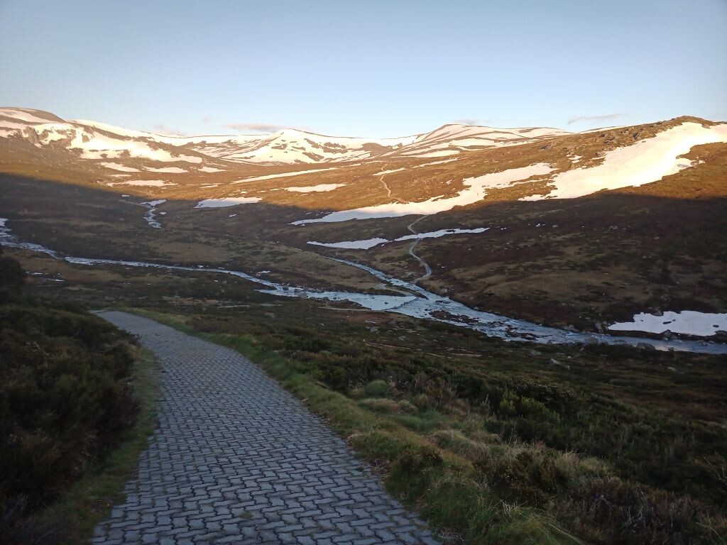
At 6:15 it was 3C at Charlottes Pass car park. The wide track headed steeply down the hill. I wore merino t-shirt and sleeves and lycra leggings for the whole trip and never felt particularly hot or cold, despite the strong breeze, morning cloud and numerous snowfields. The temp ranged between 3C and 13C with a reasonable breeze in the morning.
Five minutes into the route is the first creek crossing. It was high and my feet stayed wet for the remainder of the trip. The good path up the hill almost immediately crossed a short snow patch - a taste of what was to come higher up.
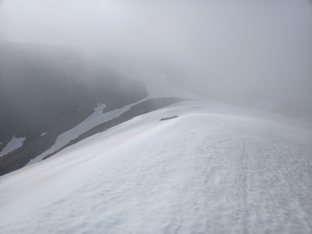
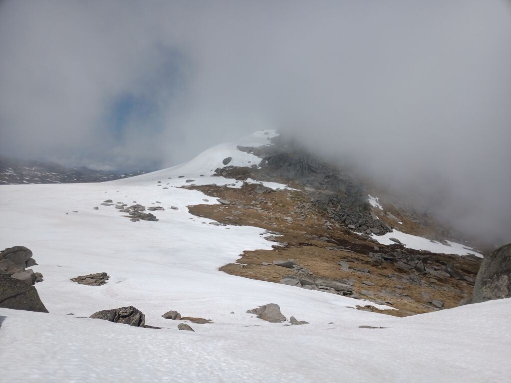
There were faint footprints to follow over the first longer and steeper snow field. I was in the cloud by then - a complete whiteout with no track. The map on my watch was the only confirmation that the track was a meter below my feet. Mt Twynam was the first peak with Little Twynam visible from it. However on the southern slope between us was the first steep snowfield. Following the faint footprints heading down I wondered how easy it would be to get back up. The snow crunched a little - not frozen, but not completely soft.
Picking my way through boulders to the peak of Little Twynam was easy. Like several others it has a flattish top, so there were a couple of candidates for the highest point - the other one always looks higher!
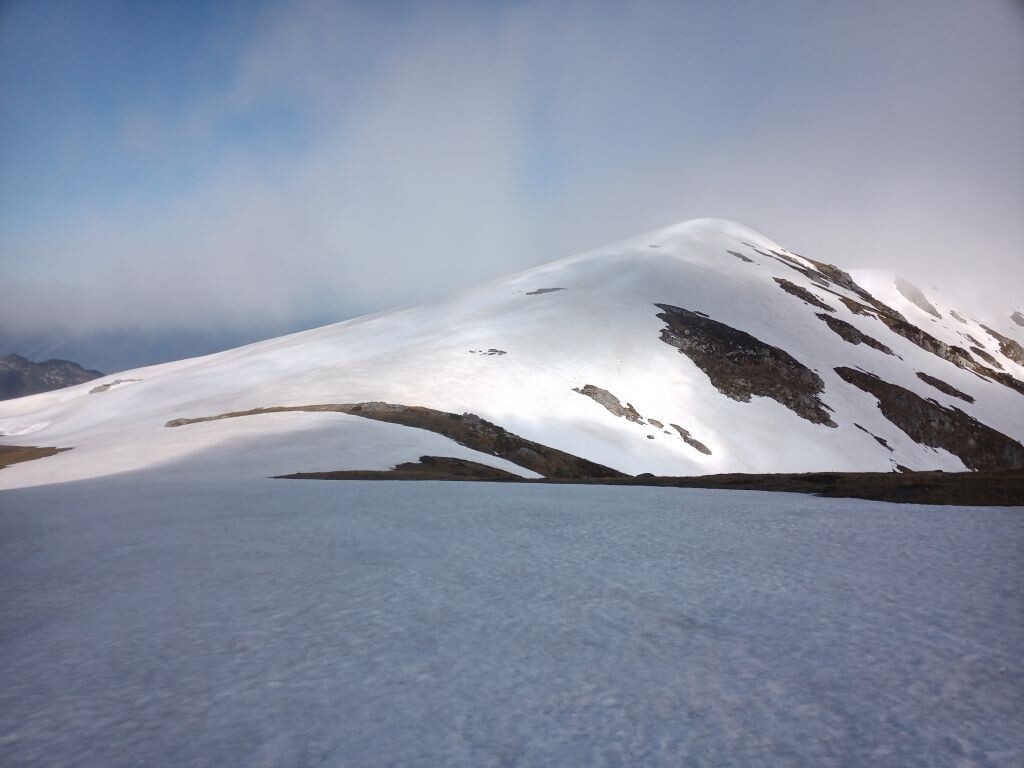
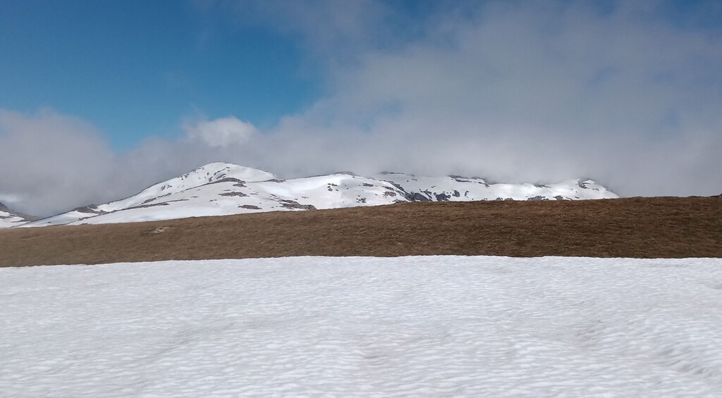
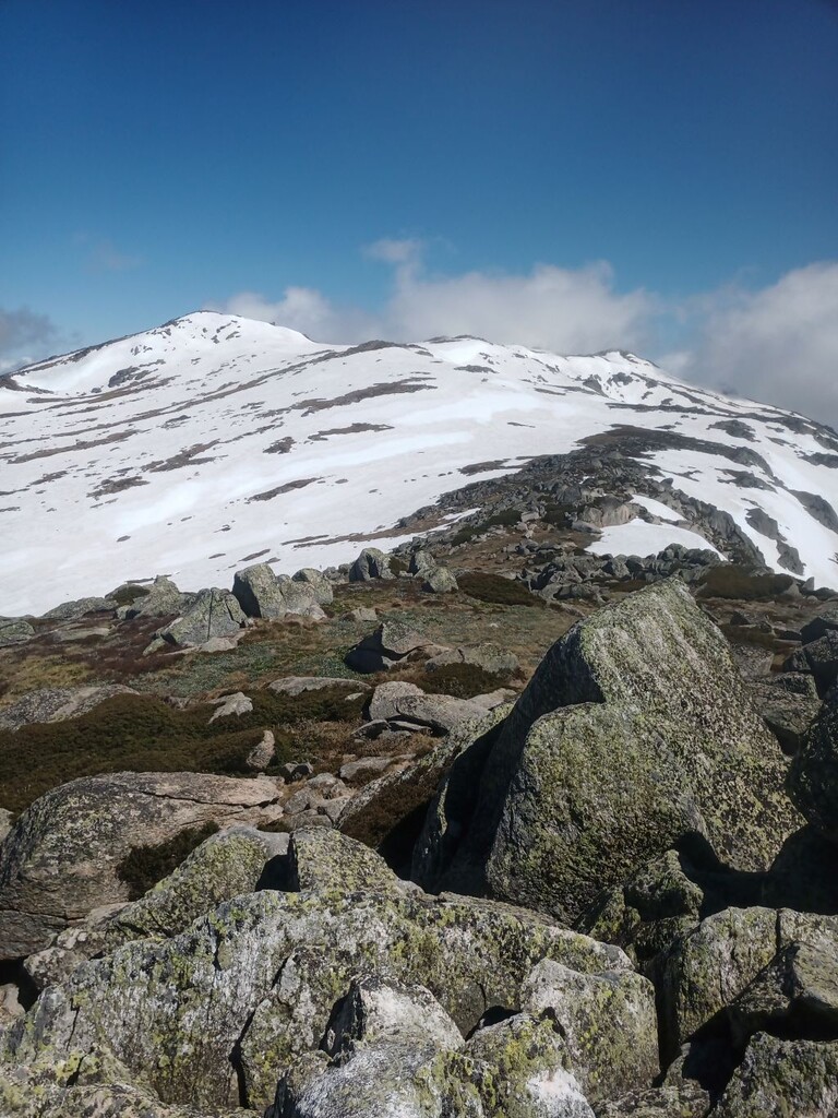
Returning up that snowfield back to Mt Twynam was a slog, the down footsteps helped with my shoes not sinking in too far. Then it was across to the third - Watsons Crags/Tenison Woods Knoll. It was completely snow covered - a perfect mountain. (4th & 5th photos)
The clouds cleared briefly to allow a photo, then it was a less steep trudge avoiding the cornice to the South.
Then descending back through the cloud to find the Main Range Walking Track heading South towards Mt Northcote and another side trip to Mt Clarke.
The signage at the start of the metal boardwalk was a little ambiguous about whether or not running was permitted.
By Mt Clarke it had been close to four hours and it was apparent that there was no hope of it being a medium day. I even had doubts about completing them all. At best do as many as possible, maybe leave the last four outliers for another day.
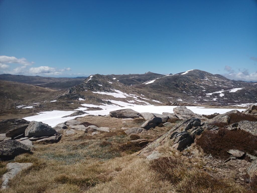
After visiting Mt Clarke, the next few peaks could be seen from the Southern flank of Mt Northcote, including Mt Townsend, Alice Rawson Peak and Mueller Peak.
Descending the Southern flank of Mt Northecote it was a direct line across the MRWT and directly up the cornice to reach the ridge leading to Mueller Peak.
The 45 degree slope was understandably trackless but short. I needed a hand, a pole and both feet to get up. Mueller is rocky and difficult to find a way to the top, and equally tricky to descend. The only minor route error for the whole trip was trying to follow the bouldery ridge towards Alice Rawson Peak instead of dropping off the ridge to the West to avoid the worst of it.
Alice Rawson was also apparently rocky from the approach but easily ascended from the Western side. Then reversing direction and onwards to Mt Townsend. There’s often plenty of opportunity to pick an ascent route through the snow and boulders while descending the previous peak. The next three - Townsend, Abbots and Du Faurs were good examples.
Mount Townsend had steep snow on the ascent and descent. It’s rocky on top and slow going. The cloud didn’t help either.
Mount Du Faur was the last bouldery peak in this loop and also the turnaround point.
From there, there were good views of Mt Kosciuszko. Its' North and West facing slopes were mostly devoid of snow. Dropping off Du Faurs it’s down into a broad basin before rejoining the MRWT. However, the catchment has numerous creeks mostly snow covered… some only lightly covered. This basin was one of a few spots where the snow didn’t support my weight and ensured my slowly drying shoes had an unwelcome reset.
Ascending the western slopes of the catchment is mostly scrubby so counter-intuitively it’s worth ascending to find the rough single track that contours to Muellers Pass.
Once back on the MRWT a couple of long though well-trodden snowfields obscured the gravel and steps before reaching the Kosciuszko Track. It was easy to ignore the tourists and cross it to take the direct route over soggy grass straight up to the highest peak.
Thirty seconds was plenty of time to spend there and it was down the direct route over steep snow to the crowds sitting around at Rawson Pass.
Ignoring them too, the ascent to Etheridge Ridge was steady and finally rocky - again the highest point was difficult to determine. Some of the tourist groups at Rawson Pass were continuing along the metal boardwalk towards Thredbo. Following the easy ridge down parallel to them I nearly got ahead of them all and overtook them with some difficulty.
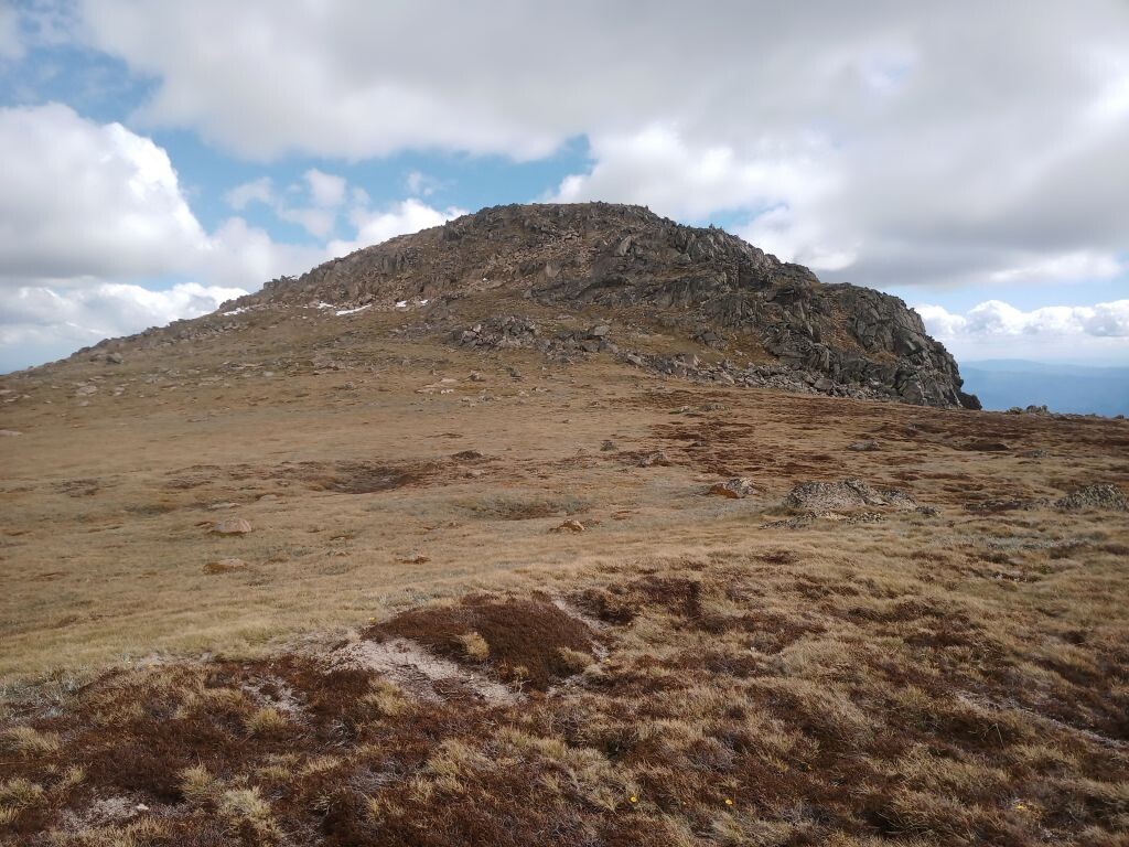
Only two more peaks to finish. The boardwalk was still under construction with a detour in place at exactly the right spot to leave it and take the direct route up yet another steep snowfield. Ramshead North is the most impressive looking peak of them all. It is a jumble of seemingly vertical loosely packed and massive boulders. The summit route starts at the steep snowy gully behind the face. The last 20m of boulders require particular care.
A pole was useful to steady tired legs on both the up and the down.
Surfing down the steep slopes, Rams Head was visible in the distance beyond another snowfield. It looked like a low innocuous peak, but the face was all boulders making it difficult to pick a route even from up close. Yet, it wasn’t insurmountable and finally at 3:30 the last peak was conquered.
The remaining 10km back to the car park was mostly downhill. After descending the rocky face and veering North at the saddle another snowfield made for easier going towards Signature Hill. I aimed left of it and had difficulties descending, next time I’ll try aiming right. Then, ignoring the boardwalk, I headed across the next snowfield and after 300m missed then found the rough narrow trail marked by old wooden poles. It heads over the plain in a dead straight line NNE for several kilometers crossing the Snowy River twice, again there’s no way to avoid icy wet feet.
Eventually hitting the wide Summit Walk / AAWT at the bridge, it’s only another 5km of very gentle downhill all the way to the car park.
This is an epic (mostly) off-track day out in the hills. Except at Kossi, I only met a few other groups. I'd suggest taking at least one pole, lots of sun block and good digital nav. There's flowing water near most of the saddles.
Doing it later in summer will be far easier going, so get out there and beat this time.