I set off from home early this morning to the start point at Jarrow, this required two metro journeys and 4 miles of walking. I finally started around 9.15am, later than I'd hoped, but the sun was shining and there was a light breeze, conditions looked great for the day.
I set my watch to navigate the course but I found that things were still difficult for many parts of the route - the gpx file available has been mostly created/pinned as long straight lines, point to point, so at many junctions it would indicate going on a certain line that physically didn't exist (over 10 ft fences and floating across the sea were two early examples). Many of these were overcome through obvious alternative/adjacent tracks but I found that far too many required either guesswork or a quick out-and-back to check other paths, a lot of time being wasted with unnecessary confusion - I often found myself taking a wider line than needed and having to work my way back onto the correct track. I did also have to stop every now and again to look up the written directions for further clarification.
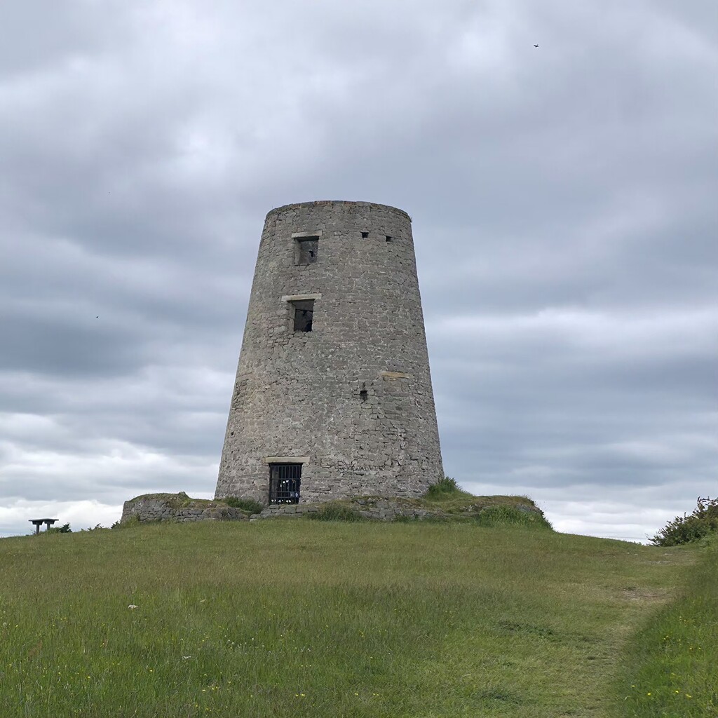
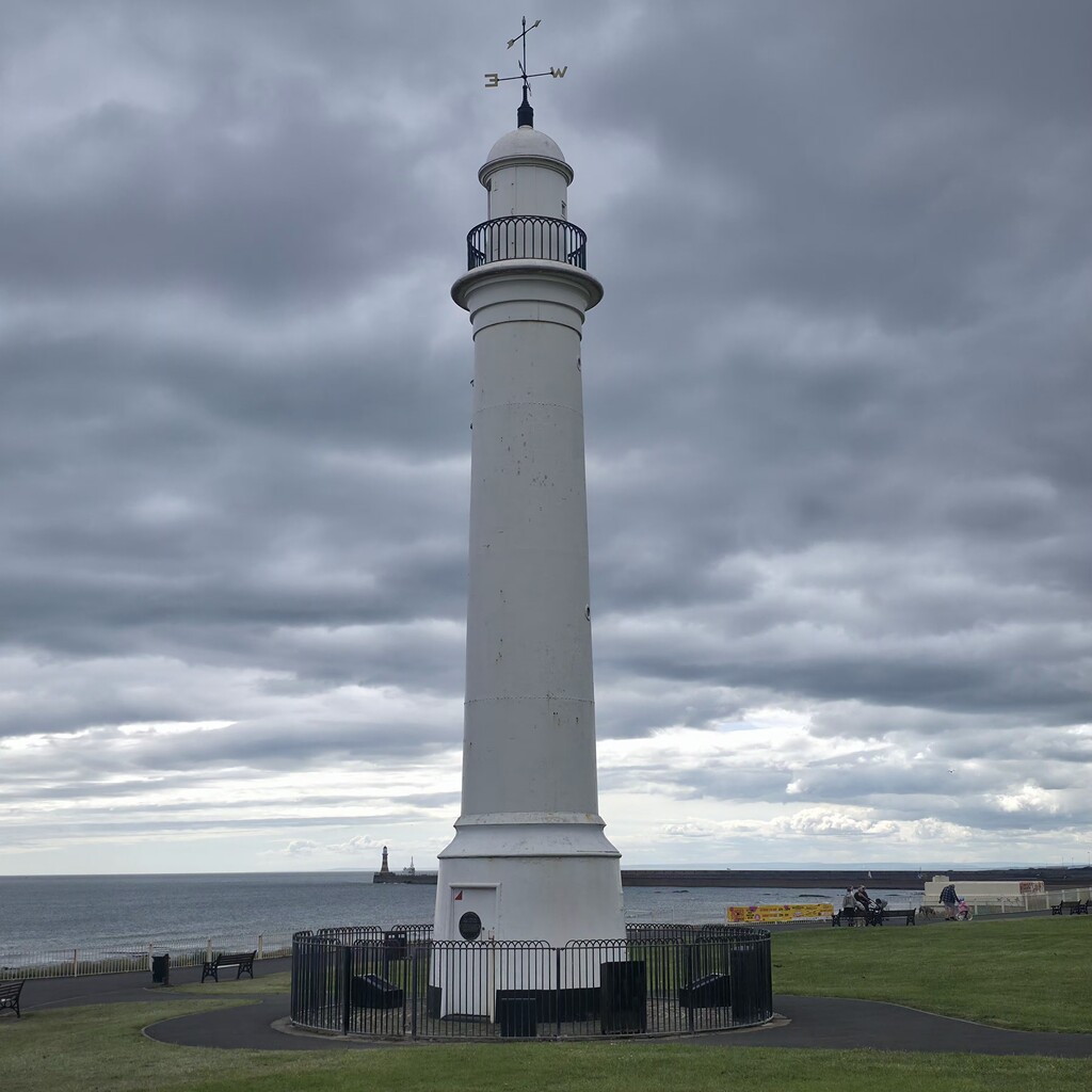
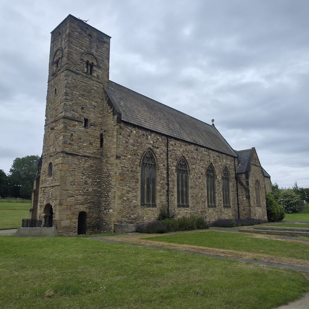
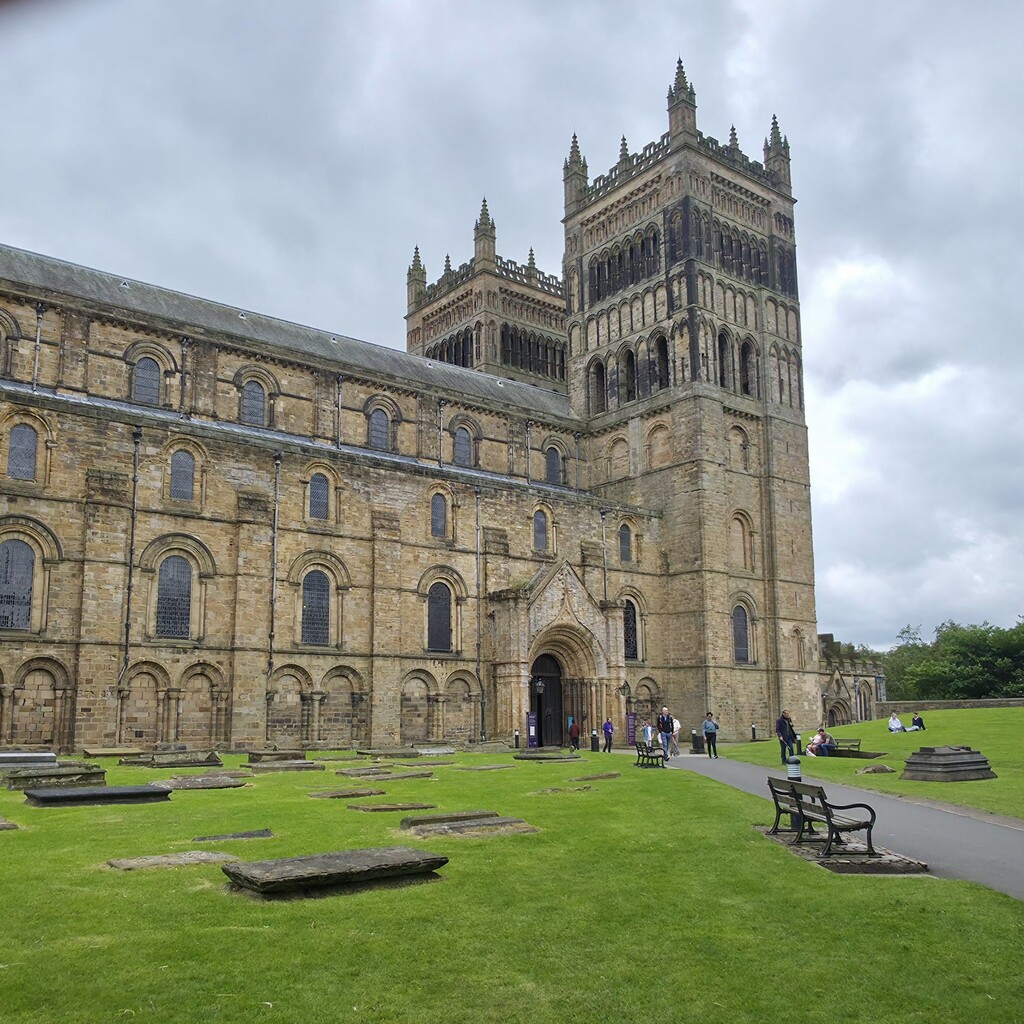
The route itself had a bit of everything - some lovely landmarks, a short coastal section and harbour, a fantastic country park, several overgrown fields, public bridleways and a lot of housing estates and busy roads. The sections through Cleadon and Herrington country park were particularly nice, albeit the latter was entirely fenced off with construction barriers upon entry so it required a large diversion to get in and back around to the correct line, this is obviously reflected in my gpx file. Finchdale priory is always very nice to pass through too. Chester le Street park and the finish at Durham were rammed with people as usual.
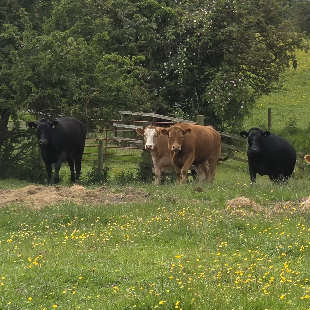
I did have one major issue with cows blocking the route, and they did all come for me, so again my actual line here was all over the place as I tried to find ways to get past them - I ended up on my stomach crawling under barbed wire to evade them before getting back on the right line 🫣
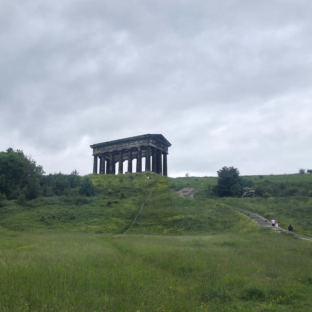
Other than that, I had an unplanned vertical climb through thorns and nettles to get up to Penshaw monument, again from misreading which path to take. There were also a couple more places where the correct path was boarded off which required turning back and choosing an alternative way.
My overall distance came in at 40.4 miles, not the 38/39 advertised, a reflection of how many wrong turns I took.
A good days mileage but in all honesty it's probably not a route that I'd do again. I'm sure plenty of people would enjoy it though, I would just advise to keep on top of your navigation!