
Sunny day, although a bit cold (it is December after all) with predicted windchill into negatives. Previous week had quite a lot of rain so the ground was still quite saturated. There were a few patches of frost in the shade but nothing hard enough to form any ice.
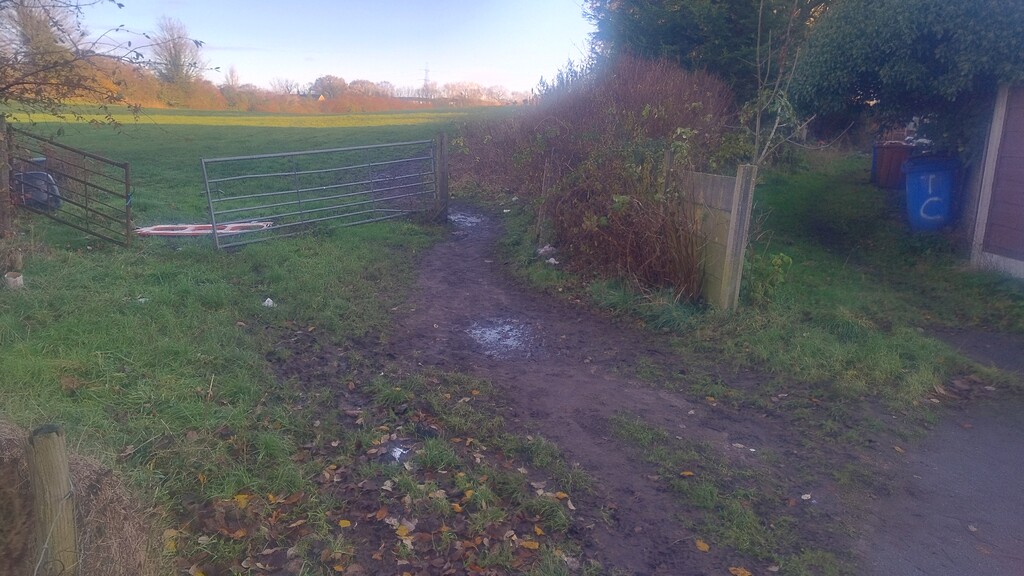
I'd already managed to fall over twice in the mud before getting to Offerton Road - a good start! Took a slightly wide line through the field just before the woods at Stockport Golf Club to try and avoid the worst of the mud, however, was mostly in up to the ankles and making splashes regardless. Had a slight navigational fail when I followed the path south instead of east, so beat a hasty retreat back to resume the route. Maybe lost 30s there.
Any of these sections through woods was quite exciting, practically every footstep slid away due to the combo of leaves sitting on top of mud. Once or twice tapped my knee into an upcoming stile due to skidding into it. I got lucky through the rest of the golf course and didn't have to wait for anyone to tee off. I did follow the actual footpath signs leaving the course onto the canal path, although there's a well-trodden gap through the bushes where you can cut off a bit of the corner. It was good to have some firmer ground.
On a field near Lea Cote Farm, I had to step slightly off the path to avoid 30-ish cows that were all congregated around the stile. The farmer had arranged their feeding container to be right next to it, so naturally that's where they all were standing. Seems Turf Lea Farm is having some construction work done just to the right of the path before you hit the canal - not sure what's happening there but looks extensive.
I took the left fork of the path when approaching Strines Road since that's what shows on the map. The mud there was deep and squelchy but didn't last too long at least. When getting to the wood I thought I was on the path but looks like I've drifted off, fell twice more skating down leaves on mud. It shouldn't be any faster.
At Mellor Golf Club the path becomes indistinct so I followed closely to the edge of Windybottom Wood, at one point you can actually hop off the golf course so I took that option and returned at the sign. Didn't seem like anyone was playing there today, just the groundskeeper out with the leaf blowers! When you get to the scout camp, keep going straight until you see the go-kart track appear on your left - that's the turn. Navigating the wooded area down here was another exercise in skating on one foot at a time. I got lucky with the road crossing, no traffic!
Probably worth remarking that the field on the way up to the church is now a vineyard! Dark Peak Vineyard with first wines to come in 2027 apparently. This must be the most northern vineyard in England, surely.
Splashed my way through the fields down to Hollywood End, not as muddy as elsewhere but still going ankle deep due to how soft it was.
When you get to Cloughend, continue on to the very corner of the field. There's a (very high) stile there to take you into another field, which you almost immediately exit again on the left (via another high stile). After that, the lane was streaming with water and the path on the right is over a very slippy wooden bridge. Then a very slippy stile to get into the field of sheep. They didn't pay me much attention.
Solid going again after this leading all the way up to Far Slack. Just here it seems like an attempt to repair the path has been made but bikes have worn a deep groove and it needs a bit of nimble footwork until it levels out again. I don't really understand why the Cown Edge Way itself doesn't turn left here, as the path at this point would let you traverse the entire edge. Instead it deftly avoids that to continue on - I suppose it does offer you views of Kinder as compensation.
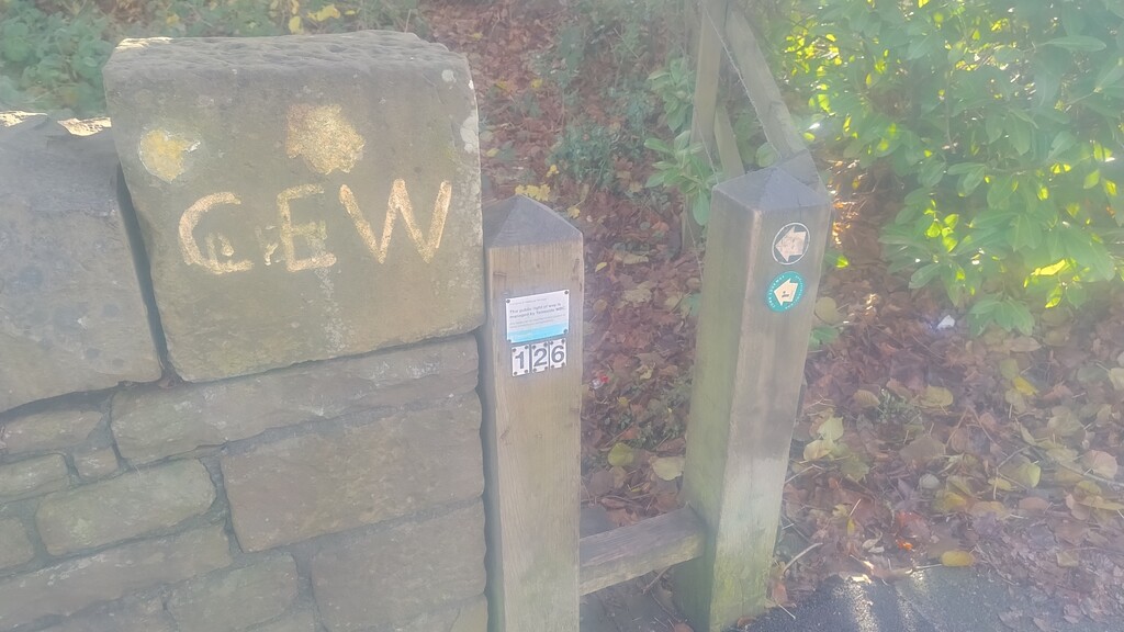
I reckon as you approach Holehouse, just as you pass the playpark, that the map indicates the Way goes left through the houses - there's a cut through. However, no one else has gone this way and the LDWA map also doesn't go this way. The triangular field at Lee Farm is a bit similar, I think the path continues straight but since that's overgrown with briars I took the dogleg like everyone else has. Getting up onto the road at Chew I do think that the map shows we should all be taking the path to the south-west for a slight detour. But I followed everyone else's path (LDWA follows the road too!) and stayed on the road.
Next section through the woods was as slippy as anywhere else. Then the paths through the edges of the fields heading up the hill was extremely muddy. I think the storm last month has also brought down some bits of trees, mostly avoidable but there's a decent log that I had to climb over to make it through.
Werneth Low Golf Club had a few groups out but I was lucky again with timing and they were all putting to finish their hole, or were wheeling clubs off to go to the next one.
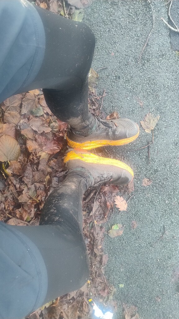
Final thing to report is the very end section through the woods. I think this was the worst for mud! Must have been getting close to conditions in a Tough Mudder and there's a really inconvenient tree branch right over the path about a minute before the end. Stopped the watch just after I hopped through the wall onto the path.