The Cown Edge Way – a named route that traces a horseshoe shape from the suburbs in the east of Manchester out into the Peak District's foothills and back again.
Laid down in 1970, the route starts at the edge of green belt land, heading across farmland and open access land to take in two of the key peaks that separate Manchester from the Peak District National Park. The highest of these is the popular Cown Edge, a child peak of Kinder Scout – the highest peak in the Peak District.
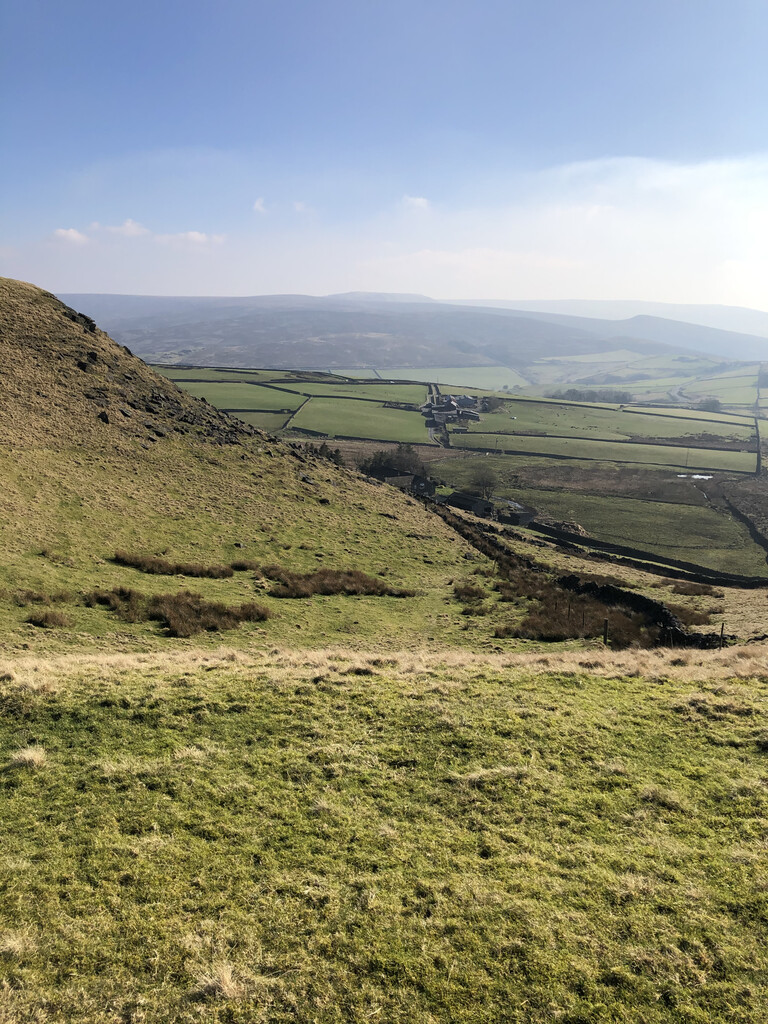
The route is notable for the duality of views it provides – to the west are clear views across Manchester and the flat Cheshire Plain (on a clear day, views can stretch most of the way to the coast), to the east the Kinder plateau and the Pennines fill the landscape.
An accessible route that takes in farmlands, canal paths, valley trails, and wind-blown ridges, the Cown Edge Way has a perfect blend of runnable sections with punchy climbs, with a feel of the rest of the Peaks without ever being too far from civilization.
https://ldwa.org.uk/ldp/members/show_path.php?path_name=Cown+Edge+Way