


Alford Round report,
Hill ranges as per the Alford Round route Bennachie range, Coreens, Pressendye, Correnne hills and Pitfichie hills.
Starting at the Don view carpark (NJ 6722 1900) meeting up with my support crew Jenni Rees Jenkins and Sharon Hassan who planned to support me at the 7 planned road crossings along route i passed over all my food, water clothes that would be needed for the attempt.
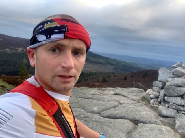
The start time was 05:10:43 which then took the first climb of the day to Mill stone and the hills associated with Bennachie range, (Mither tap, Craigshannoch, Oxen Craig, Watch Craig, Hermit Seat, Black Hill Trig) before dropping down to the first support point approx. 10.5 miles in. This first section seen me roll my right ankle twice along the way and questioning if I was going to carry on, I explained to both Jeni and Sharon but agreed to carry on to the next support point. swapped out with a fresh 500ml of Maurten and a few gels for the next section.
The Gordon way section of the route was particularly wet and slippery due to the rain in previous days, the Sui section covered the following hills Satter Hill & Suie Hill Cairn with a short out ad back to Satter hill due to a deer fence. the support point at the Sui road crossing at the 15.5 mile point i swapped out for a fresh water bottle with Maurten and a few more gels.
After the support point I took a wrong turn but quickly identified this only after going 1k in the wrong direction but manged to find the main route to Hill of Millmedden, Mire of Midgates, Dave's Hill, Badingair, Brux Hill, Edinbanchory Hill, Lord Arthur's Hill & Black Hill before the descent to the next road crossing and support point on the A944 at the lay bay approx. 22.5 miles into the run
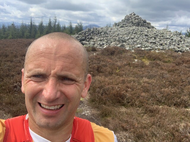
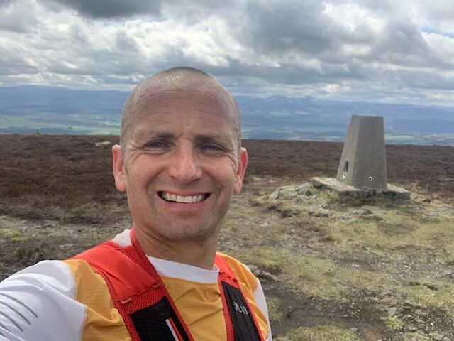
The next section seen 1st of 2 hard climbs (heather bashing and traveling through fields this section took in the following tops Coiliochbhar Hill & Leslie Hill before ascending to meet my support crew on the road crossing at A944 before the 2nd of the 2 hard climbs, to top Scare hill, The Socach, Passendye, Pittenderich & Long Hill before meeting my crew and first support runner Caiden Thom for the next section, a short stop at this section i changed to run with a waist belt taking only 500ml of Maurten and a gel, i changed my t-shirt and left my phone and vest with the crew. Up to this point I had been taking photos of each hill significant hill top which had a cairn or a trig point, this responsibility was now passed onto Caiden.
We both then travelled across the road for the first short climb toward Craiglich & Course Hill (the top inaccessible top due to the dear fence) & then descending & following the narrow track onto the A980, once on the road we headed NE along the road approx. 300m to find the trail heading toward Mill of Maud this section required a bit of walking through dense forest to find the top of Mill of Maud, the descent as a faint track and includes a section of heather bashing and a few short fences to climb before meeting the road, after this we travelled through a few fields to meet the road section on the B9119which we travelled along easterly until the crew support point (NJ 5919 0732) here Caiden swapped out with Neil Thom and i took some time to eat taking on 2 Jaffa cakes, 2 bakewell slices a cup of strong coffee with loads of sugar and fresh top up of Maurten 500ml and a fresh 250ml of water and wearing my vest again to ensure I took on fluids.
The next section ran with Neil Thom took in Tulloch hill to access Benaquhallie, Red Hill heather & then bashing and a deer fence to cross over to gain access to Green Hill and further deep heather bashing to White hill then finish this section over to Black hill before passing the quarry and descent onto the B993 and then heading toward Alford for 1.2k to meet my crew at NJ 6352 1309. This point i had another 2 Bakewell slices a cup of coffee took on a spring energy gel and then headed with both Caiden and Neil to cover the last hill section which took in the following tops lady, Green Hill, Cairn William and finally Pitfichie, just before my ascent to the final hill my watch ran out of battery and i had to use data from Neil's Suunto app to record the last section. the final descent toward the river crossing was tough as the route is quite steep and loads roots due to it being a mountain bike downhill section.
The river crossing was done approx. grid ref point NJ 6697 1896, all 3 of us linked arms to cross, fortunately the water depth wasn't too bad considering the rain fall in previous days. The support crew were there on hand to help with the crossing and see me finish, I finally reached the carpark where I started in a time of 14Hours 24Mins 00 seconds actual finish time 19:34:43.
Total distance covered 57.51miles
Elevation Gain 12,741ft
Previous attempt on the Scottish Hill runners Website by Dave Clark was 15Hours 58mins 41seconds on the 28th May 2016
Support crew: Jeni Rees Jenkins, Sharron Hassan,
Support runners: From Support crew point 5 (slack layby) Caiden Thom & Neil Thom
Recorded on Suunto 9 & Sunnto app,
FB updates by Gavin Taylor on the day using find my friend app and via updates from the crew during the attempt.