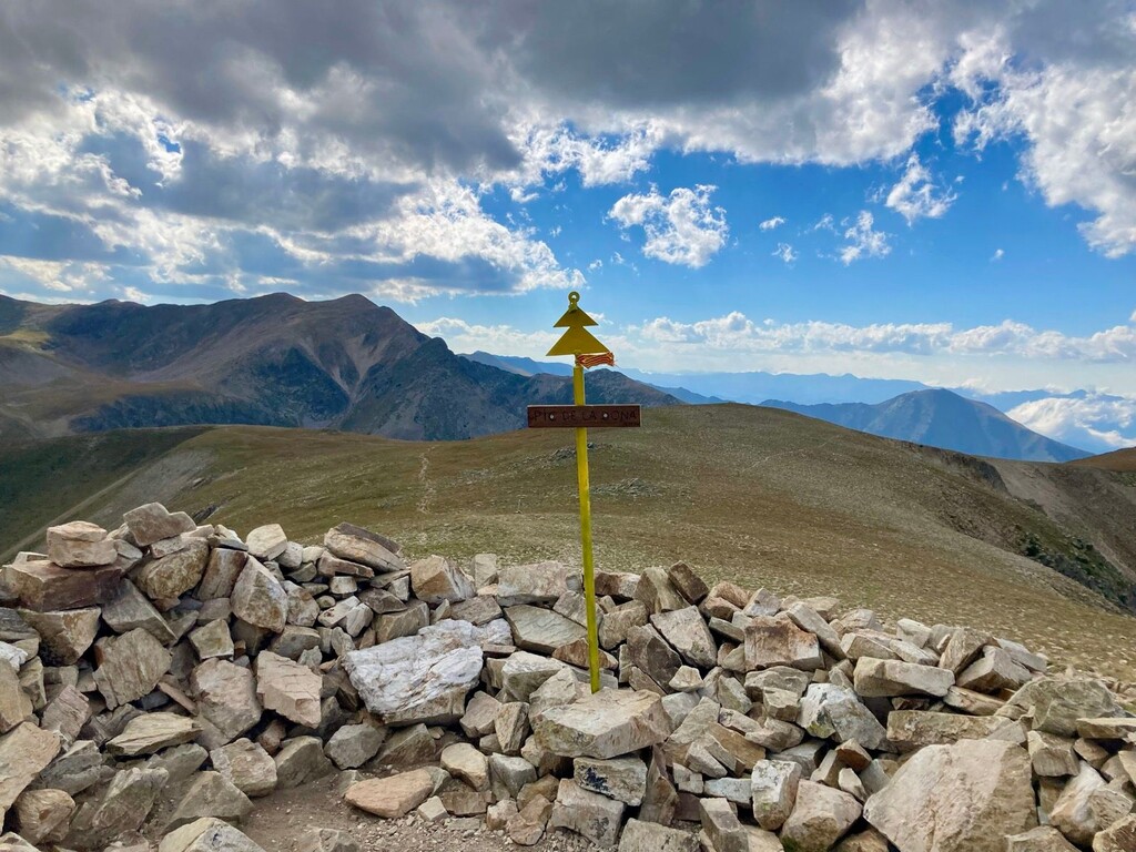
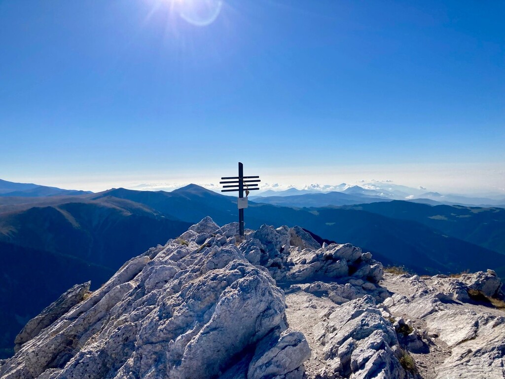
This was a challenging and beautiful way to see both the Núria and Vallter areas, crossing the summits of a dozen or so 9000ft/2700m peaks in an 'infinity loop' routing.
The route has all the terrains - gravel, dirt, grassy hills, loose rocks, large scrambly boulders/rock faces, and a couple of stream crossings (these were tiny and barely noticeable in the height of summer but may be larger in other seasons). For general safety your footwear choice should prioritise grip on rocks, as well as all-day cushioning.
You will experience high winds on the exposed ridges at any time of year; naturally the temps would be cooler overall outside of summer but the presence of (lots of) snow/ice on the peaks would make the route far more difficult, if not extremely dangerous.
Route notes:
The FKT begins at Refugi d'Ulldeter, so you'll first need to make the short hike from the start of the trailhead at Vallter2000 parking lot to the Refugi. The route officially ends at the parking lot.
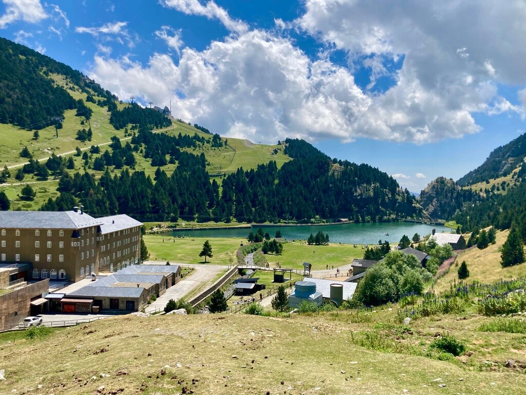
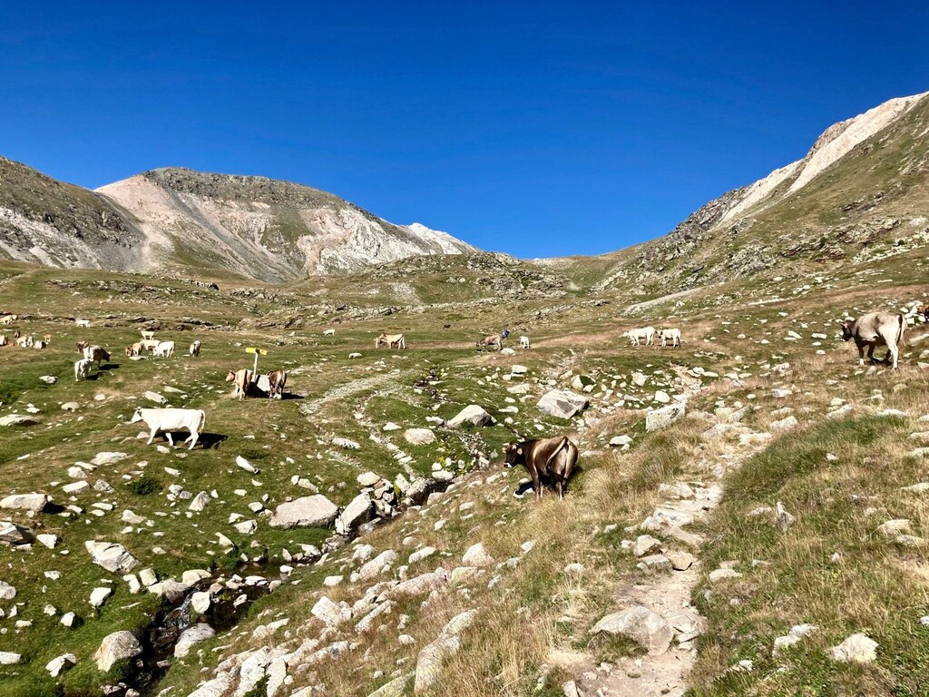
The first peak, Gra de Fajol, may be the steepest ascent of the day, though it's fairly short. After that out-and-back section, you'll traverse a lovely runnable section which generally has a high concentration of cows (so much for the running). Beyond that the number of fellow hikers/runners thins considerably, and you climb around to the western ridge, crossing several summits as you circle around Núria, seen well below you. The last of this side (at 12mi/19km) is the beautiful and popular Puigmal, where you'll again have plenty of human company. From there it's less than 5km (all downhill) to Núria. Don't forget to fill your waters :)
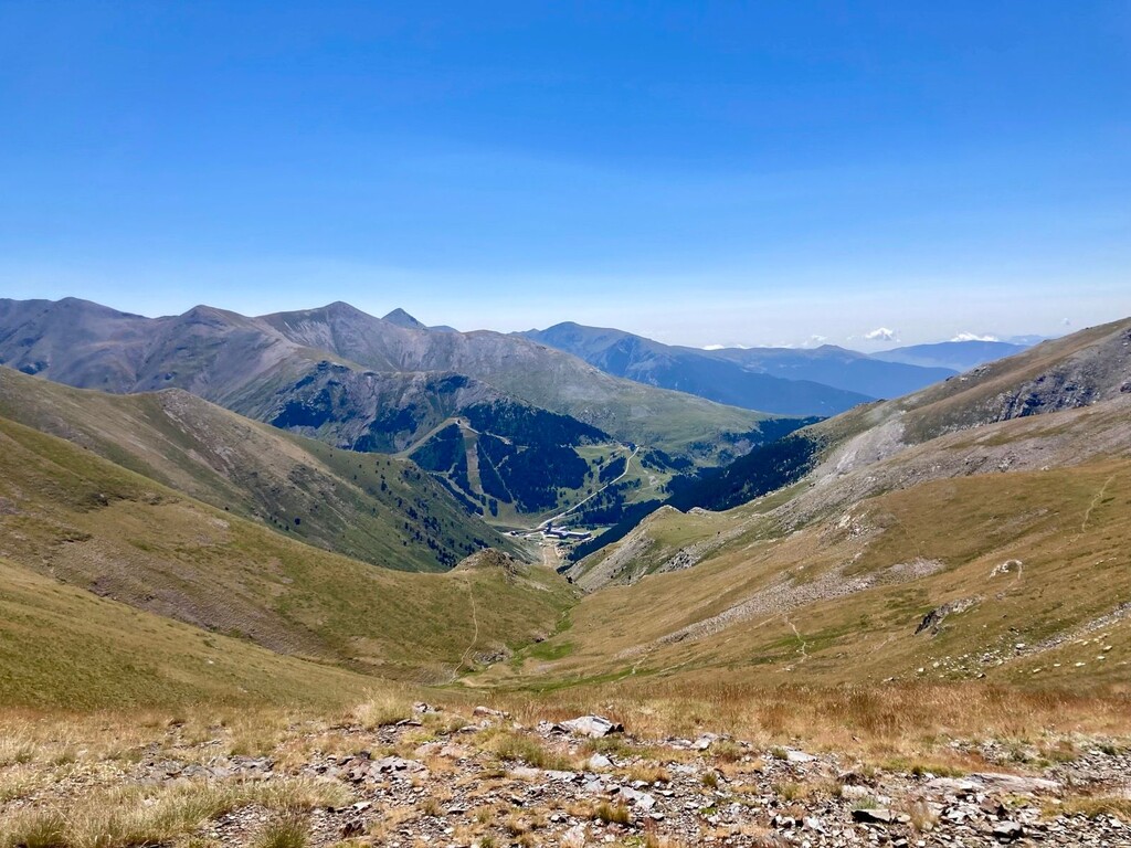
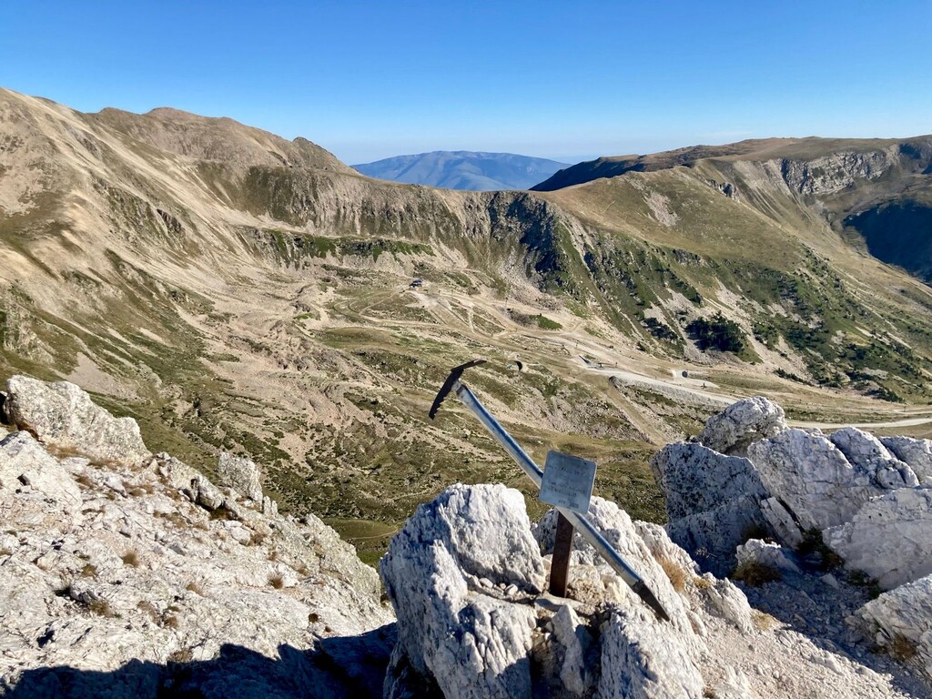
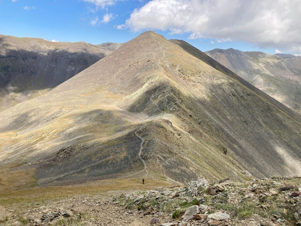
Though you will have completed more than half of the distance and route elevation, the second half is comparable time-wise to the first due to the terrain. There is a sharp and immediate climb from the commercial area of Núria, following a tram route to the top of a chairlift. The fun doesn't stop there, as you quickly leave the scenic overlook behind on a trail headed back toward the Vallter peaks. This is the longest continuous climb of the route, but at its peak, you will begin the rocky up-and-down "shark teeth" that will keep you busy (or make you crazy) for the next 10km.
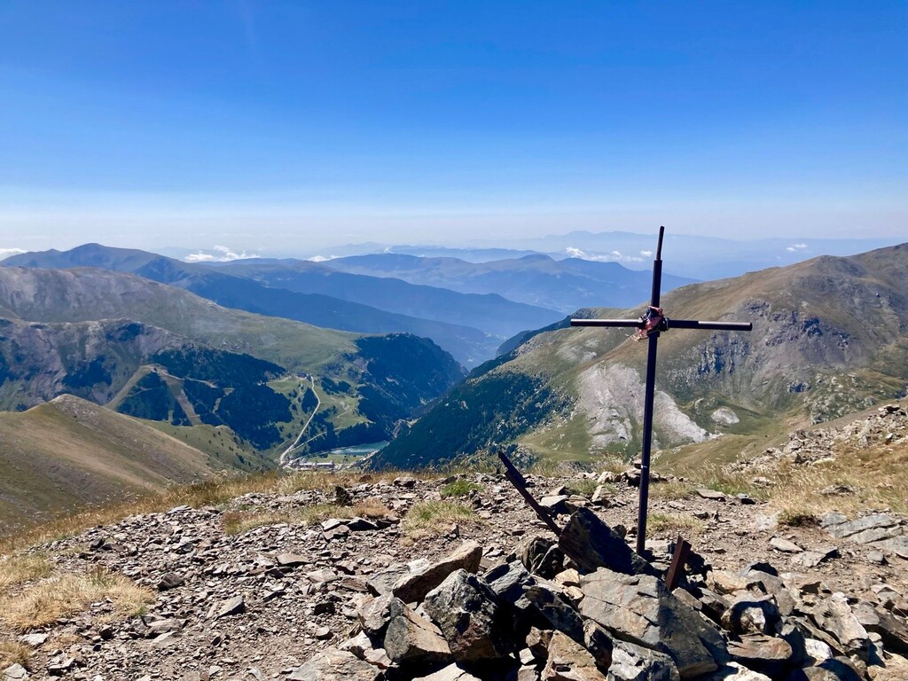
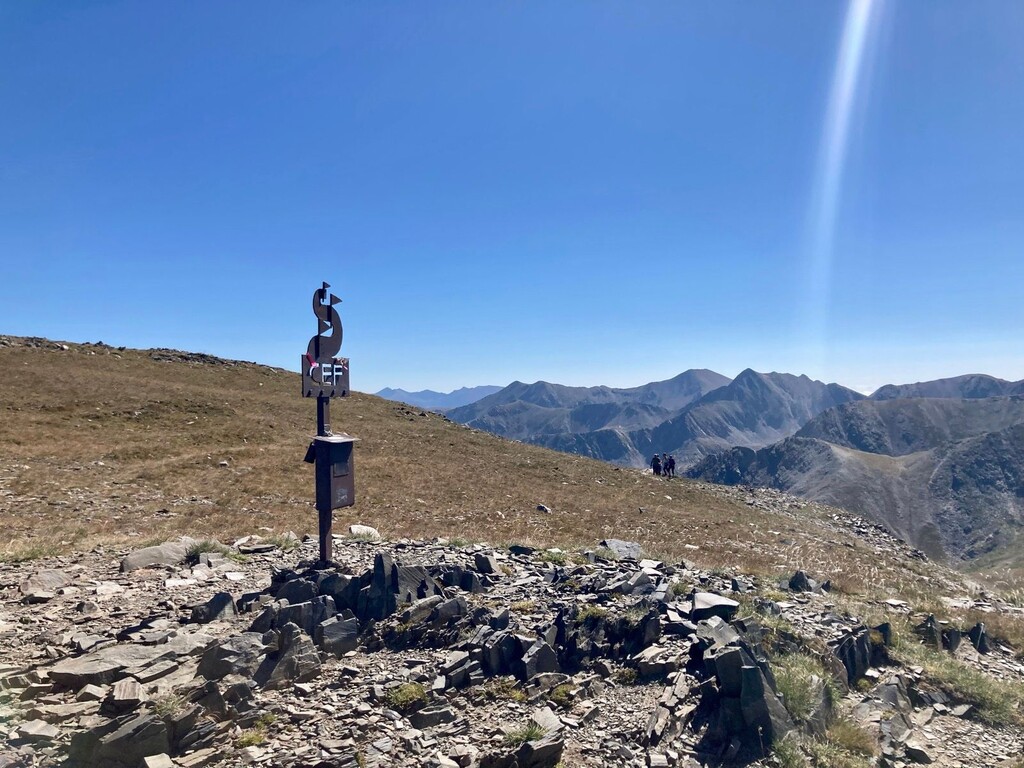
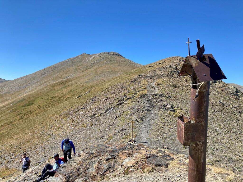
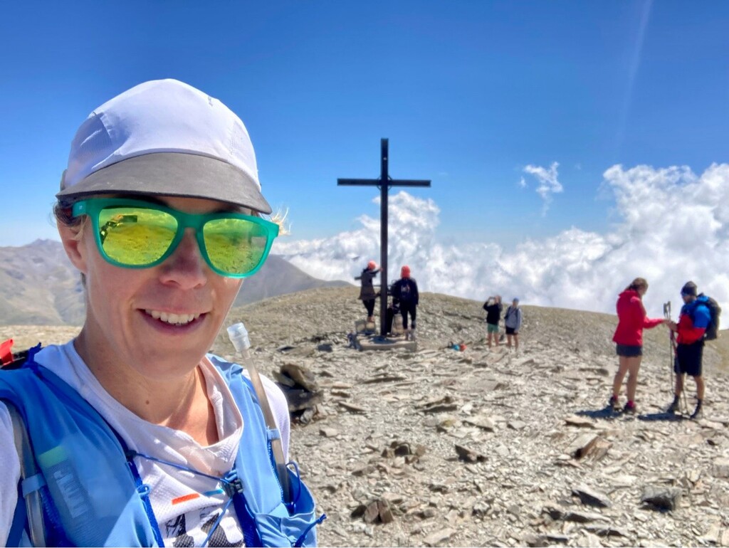
Perhaps the best 360-degree view of the route comes at km 31, after a messy ascent to Pic de l'Infern. From there you will summit 4 more named peaks before reaching the end of the teeth (and descending to the Vallter car park finish). This period was the most aggravating part of the route for me. It wasn't the physical challenge, but rather after so much of the route was well-maintained and easy to follow, there was a long stretch of constant GPS/map-checking and scrambling up/down/around boulders trying to rejoin something that looked like a 'trail'.
As noted, the majority of the FKT route is along established trails which are easy to follow, with a few kms requiring more patience and a few trial-and-error approaches of which way to cross the next ridge/boulder field. You'll never venture far enough from the course to panic, but a brief variance of 5-10 metres can be massive when you're hiking along a ridgeline ;-)
I wasted perhaps 10 minutes total on route-finding during the day, but to be fair, most of this was because i was trying so hard to follow the FKT submitter's exact route. Clearly there were several times when the original FKT holders went off the nicest trail to get down a hill faster, or to take a more scenic picture, etc etc.
Conditions specific to today:
It was sunny most of the day, about 15C on the long western ridge, 20C on the eastern ridges near the end (in the early evening), and warmer in the valley/middle portions.
The long northwestern ridge was extremely windy, threatening to take my poles, hat, sunglasses, and head off with it. I was quite literally hiking (more like lurching) forward with one eye closed so i could bear the wind without getting a frostbite-ish feeling.
Given the entire route is at high altitude, even when the sun is not visible there is a high risk of burning. Sunscreen is a must for exposed bits - reapply often - and consider wearing a saharan cap with full neck/ear coverage, arm sleeves, etc.
Provisions (i completed the route Unsupported):
Where to resupply - The only public water taps are at Núria, a little past halfway on the route. Please pack accordingly, it's quite a few hours from the start!
Should you wish to do the route Self-Supported, you could also purchase provisions at Núria's hotel/shop/restaurant. There were several huts and awnings for shelter along the route, but to my observation none had water or supplies.
My stash - Brought 4x500ml fluids (i have trouble carrying more), finishing 3 of them prior to the water replenishment point. Solid food supply was 7 Decathlon gummy fruit bars, 2 chocolate bear minibollitos, 2 nature valley mini oat/choco bars, and a large Mars bar. i finished only half of that, as i didn't feel like eating more due to the slower pace of the last few hours.