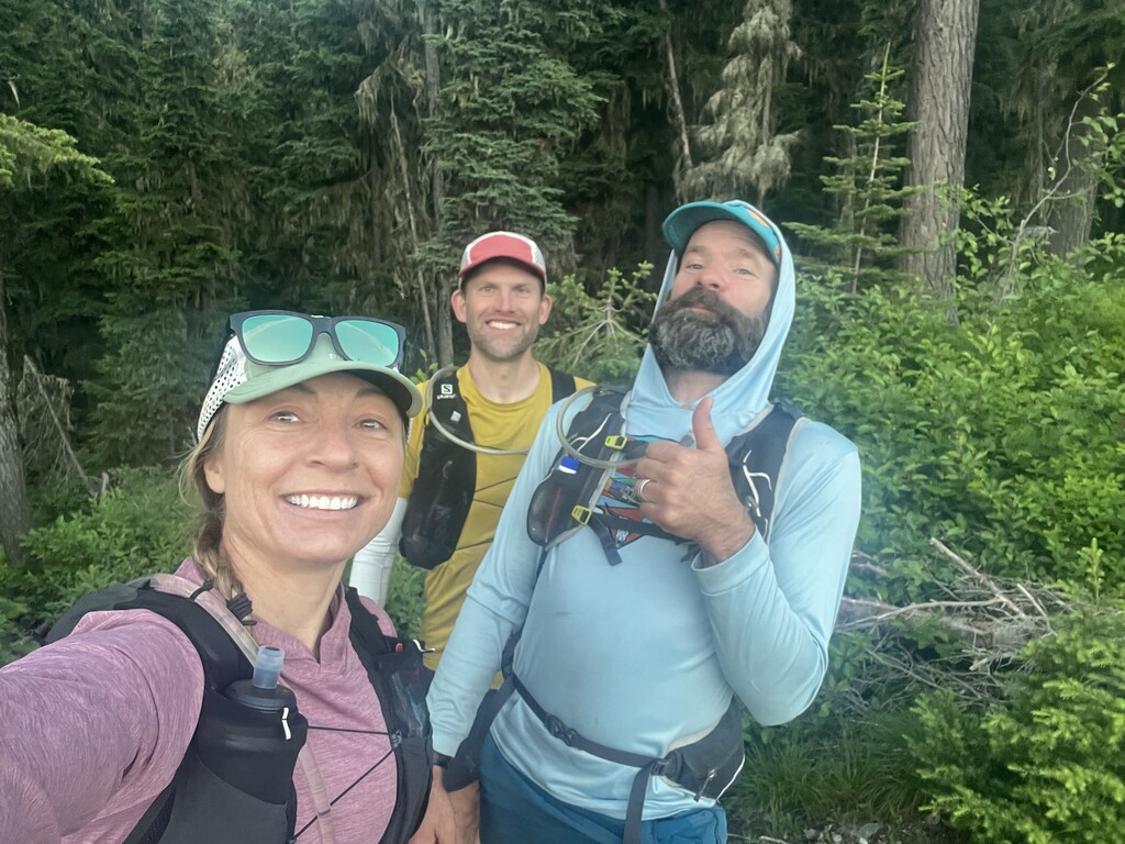


Tom Attard, Justin Grigg, and myself, Kristina Pattison, started the route at 6am Mountain Time on July 1, 2023 from Thompson Pass.
The weather was forecasted to be the hottest day of the year so far with temps in the valleys up to 90 degrees, translating to high seventies on the ridge where we would be running. The day before I’d driven to two drop points along the ridge at Crow Creek Road (FS 7709) and Dry Creek Road to leave water and bear canisters with our food resupply. Both of these points can be accessed from Forest Highway 7 near Thompson Falls. We met and camped at the eastern end of the route at Combest creek, outside Plains, to camp and then drove to Thompson Pass early before our run. It’s about 1.5h to drive from one end to the other.
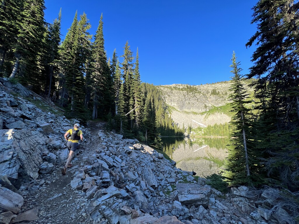
The 404 trail is most scenic in these initial miles but also the most challenging. The route nearly disappears between Glidden and Cooper passes but it is marked occasionally with the Montana-Idaho border markers. While following the ridgeline is easy enough above tree line, the descent back to Cooper pass took us through thick downfall slowing the pace considerably. At that point we searched for the original 404 trail that would have cut across a north facing slope back to the ridge, but it had long since disappeared in thick timber. We backtracked and followed the only viable route past Burke summit to regain the ridge. Much of the route then follows two-track ATV paths and old mining roads. During much of this section, Lookout Pass Ski Area is visible in the distance on the MT-ID border. We also saw wolf tracks bigger than my hand and mountain lion prints following deer tracks, but no people until our first resupply at Dry Creek Road where ATVs frequent the area.
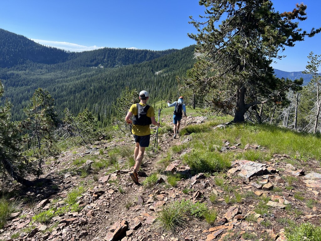
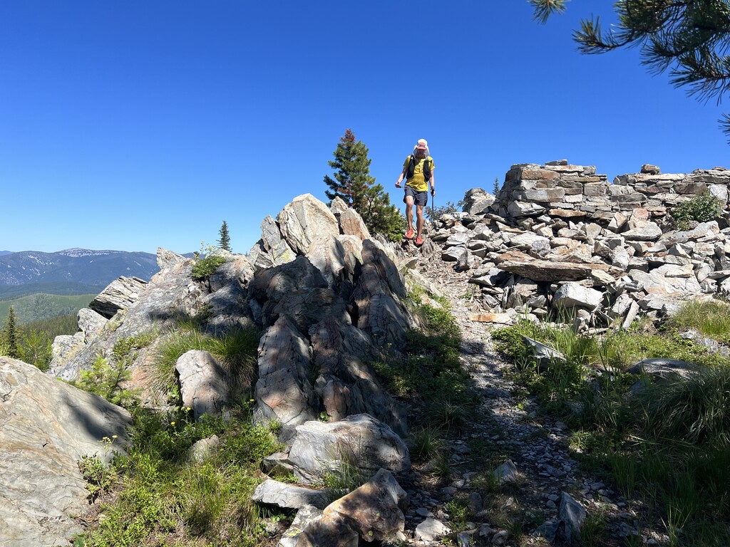
We reached Dry Creek after adding about two miles of route finding to our journey. The pace was slowed significantly by the heat as well at this point, and our first 22 miles took nearly 6 hours. From Dry Creek forward the remaining route was fairly straightforward. It enters a long section of single track that is closed to motorized use and had been fortunately cleared of downfall in recent years. There is one stream crossing in this section and several signs indicating the CC Divide. A short side trip takes you to Mount Bushnell summit and the ruins of an old lookout. Eventually the single track ends at a well-established road that led to our final resupply drop at Crow Creek road.
Here the route enters a road closed to motorized vehicles and is therefore less traveled. Piecing together closed forestry roads and overgrown single track the 404 finds its way along the ridge for another 20 or so miles to its eastern end at Combest creek. We navigated much of this section after dark despite the thick alder and other understory disguising the route. Most intersections are well-signed for the most part. As the trail meanders from one side of the ridge to the other, lights can be seen from both Plains to the north and St. Regis to the south.
Finally, nearly eighteen hours, 65 miles and 13,000ft of gain later, we found our way back to our modest camp near the trailhead.